

Hikes
Calendar of Hikes
Monday |
Tuesday |
Wednesday |
Thursday |
Friday |
Saturday |
Sunday |
|---|---|---|---|---|---|---|
|
0 hikes,
|
0 hikes,
|
0 hikes,
|
0 hikes,
|
0 hikes,
|
0 hikes,
|
0 hikes,
|
|
0 hikes,
|
0 hikes,
|
1 hike, |
1 hike,
-
 Approximately 5.0 mile loop. PLEASE FOLLOW THE DIRECTIONS IN THE WRITEUP BELOW TO GET TO THE TRAILHEAD. This Loop is about 5 miles long. This hike is rated moderate for its elevation gain and distance. The group hikes between 2.5 and 3.5 mph. If you cannot hike at a minimum of 2.5 mph, please do […] |
1 hike,
-
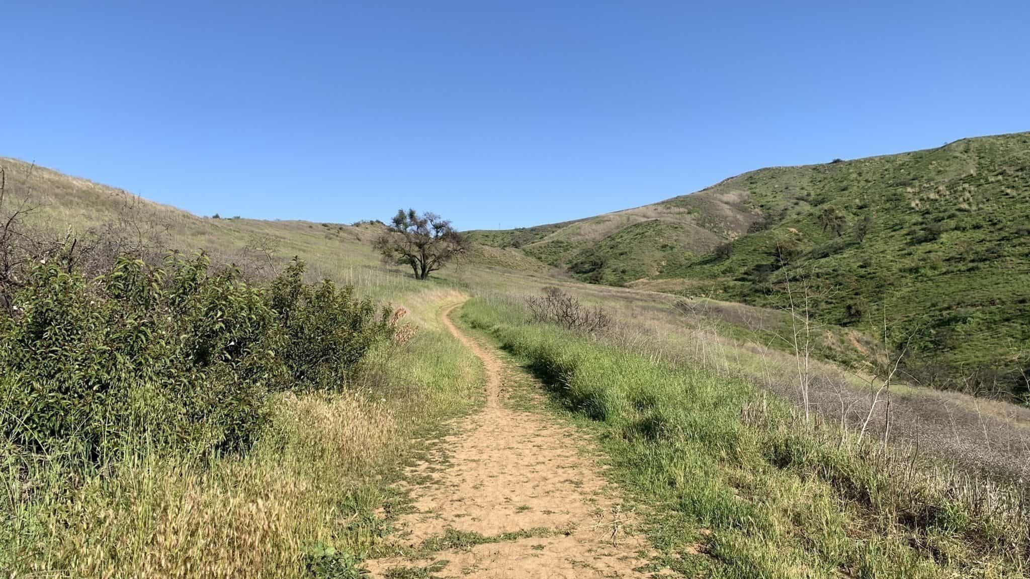 https://www.alltrails.com/trail/us/california/challenger-open-space-loop-trail Hello Fellow Hikers,This is a great trail good amount of flat with ups and downs. As we leave the parking lot (parking is free and it's a paved lot) will make some inclines to a open field section to make our way to the top of the mountain. The grade is real gradual but […] |
2 hikes,
Featured
-
Featured
My 65th birthday and retirement day is coming up, and I can't wait to celebrate with my hiking buddies at one of our favorite hiking and post-hike lunching spots. I am planning a hike in Corral Canyon with lunch at Malibu Seafood and you are cordially invited. SO SAVE THE DATE! The great thing about […]
-
Long Canyon Loop is approximately 6.4 miles and is a moderately trafficked loop trail located near Simi Valley in the Lang Ridge Open Space area. Disclaimer: This is a well known trail to some, but it will be my first time hiking this trail from this trailhead so I will be consulting my map often. […] |
2 hikes,
-
The Keyhole 7 memorial bench was installed in April 2016 as a tribute to our friends we lost in Zion in September 2015. It survived the fire that swept through the area in May earlier this year. Let's pay it a visit in remembrance of those we lost. We will be taking the Garapito Trail […]
-
 3.5 miles, 600' gain, Easy Intermediate. A fit beginner can handle this. This is rated Easy Intermediate (easy end of the intermediate spectrum) because there are a couple extended inclines. This is a social hike, not a conditioning hike. We'll start by entering the Los Padres trail, through a spooky oak covered section, then move […] |
1 hike,
-
 BEFORE YOU WILL BE MOVED TO THE GOING LIST, YOU WILL NEED TO UPDATE YOUR CDH PROFILE (The three questions must be answered with a "yes") IF YOU HAVE NOT ALREADY DONE SO.NEED HELP:go to: https://wp.me/P9MbG4-hC I'll be increasing our biking distance with the help of e-bikes. This ride will take us from Juan Bautista […] |
2 hikes,
-
 3 miles, 1000' gain, Intermediate. The entire first half is an incline. Nothing super steep, but beginners will find this climb exhausting. Fit beginners can still complete this hike, as we'll be stopping at junctions to let everybody catch up. This is not a conditioning hike, it is a social hike. There are several routes […]
-
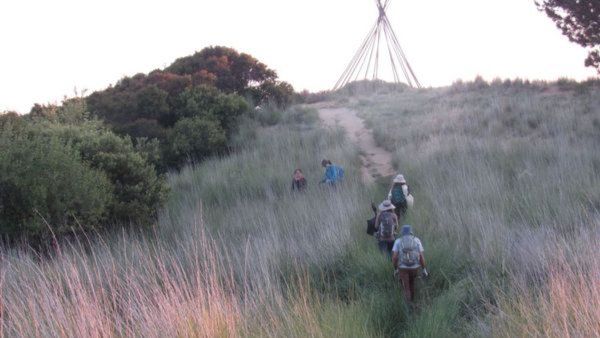 Hiking to the teepee in honor of our Keyhole friends. Join me if you can, I know its sudden and weather is still warm but hoping it will be cooler at 6:30pm. It's the perfect place to enjoy the sunset and look at the city lights. There are sections of the trail that are very […] |
2 hikes,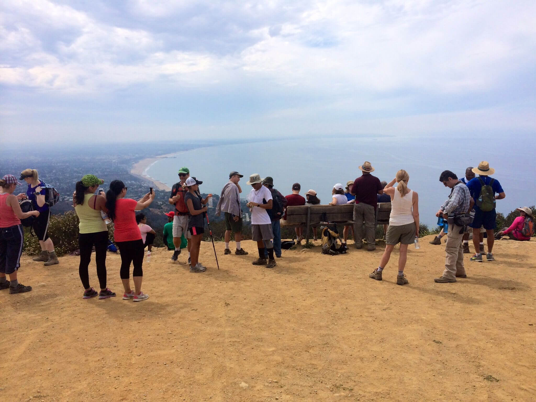
Featured
-
Featured
Perched high above the Palisades and Malibu, the vista from the Parker Mesa Overlook is stunning. You can see all of the LA basin laid out before you, the San Gabriel Mountains to the north, Catalina Island to the south, and the crescent shaped coastline of Santa Monica to the east. We'll have a post-hike […]
-
 BEFORE YOU WILL BE MOVED TO THE GOING LIST, YOU WILL NEED TO UPDATE YOUR CDH PROFILE (The three questions must be answered with a "yes") IF YOU HAVE NOT ALREADY DONE SO.NEED HELP:go to: https://wp.me/P9MbG4-hC A LOCAL, BUT CHALLENGING TREK SHERWOOD'S SENTINEL - Stands guard over Lake Sherwood and Lake Eleanor with views of […] |
2 hikes,
-
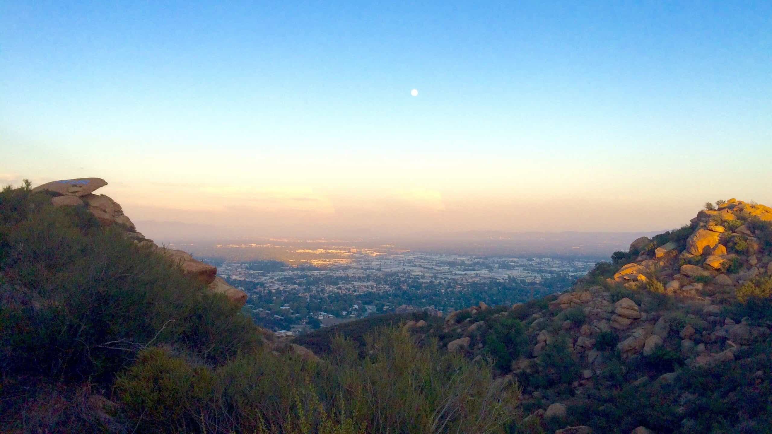 3.5 miles, 800' gain, easy intermediate.Note that we are going to start from the Andora trailhead instead of our usual starting place. This hike will include an extended stay at the top, where we'll have a snack share social event (https://www.meetup.com/Hiking-Plus/messages/boards/thread/50879772) for 30-60 minutes. Nearly the entire trail is an incline. Fit beginners can complete […]
-
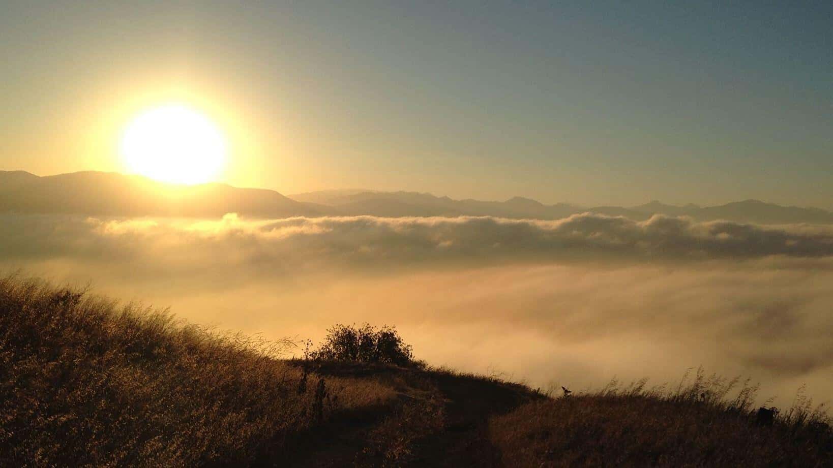 Description:The hike ascends to Mission Point, aka Mission Peak, via the Mario A DeCampos Trail. The peak is the second highest summit in the Santa Susana mountain range behind Oat Mountain. This trail meanders up a beautiful ridge through walnut and oak groves and open grassland, providing broad views of the San Fernando Valley and […] |
2 hikes,
-
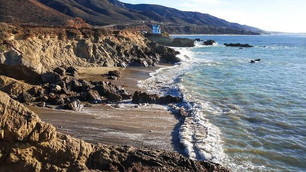 BEFORE YOU WILL BE MOVED TO THE GOING LIST, YOU WILL NEED TO UPDATE YOUR CDH PROFILE (The three questions must be answered with a "yes") IF YOU HAVE NOT ALREADY DONE SO.NEED HELP:go to: https://wp.me/P9MbG4-hC Now that the kids are back in school we've got our beaches back, so let's head for Leo Carrillo […] |
4 hikes,
-
 Advanced Intermediate Hikers. You should be able: (1) to comfortably hike from an elevation of 8,100 ft. and summit at 10,000 ft., and (2) handle heights. Plan: To sleep in the car the day before the hike. The trailhead is inside the Yosemite NP. Toll is required to enter the park. Distance: About 15 miles […]
-
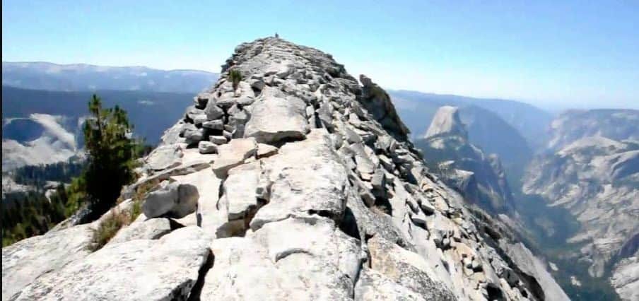 NOTE: Currently, you need a reservation to enter Yosemite. The cost is $2 and you can get your pass here: https://www.recreation.gov/timed-entry/10086745 Only one entry reservation per car is needed. If you don't have an annual parks pass, you'll also need to pay the entrance fee which can be done online.___________________________________________________________________________________Hike is waitlisted to confirm ability […]
-
 We though it would be a nice morning hike to SP one of the DonT's favorite trails to remember our beloved friends we lost six years ago. Distance: 6> milesElevation Gain: 1900 feetTrail: Single track, exposed, out and back Directions: From the 101 Fwy, exit Lindero and go north. Drive several miles. At Wembly Ave., […] |
5 hikes,
-
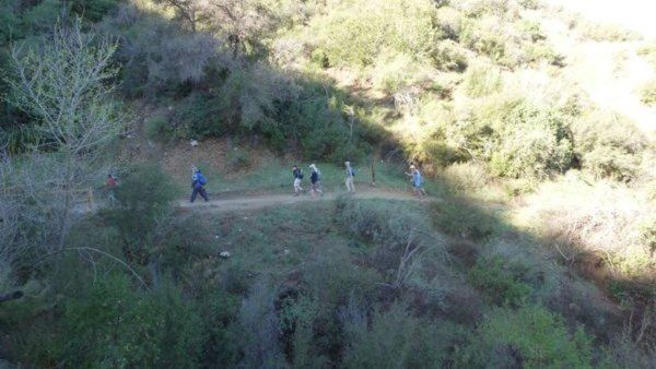 We thought it would be nice to get together for an early morning hike with brunch after to remember our beloved friends we lost 6 years ago. Option 1 6am: Hike the 9 miles Los Pinetos loop Option 2 8am: 3.5 miles Canyon Trail to Walker Ranch Option 3 ~ 10am: brunch - no potluck […]
-
We thought it would be nice to get together for a morning hike with brunch after to remember our beloved friends we lost 6 years ago. Los Pinetos is closed but we can still take the Canyon Trail to Walker Ranch and come back to brunch. If you can't make the Saturday hike, hopefully we'll […]
-
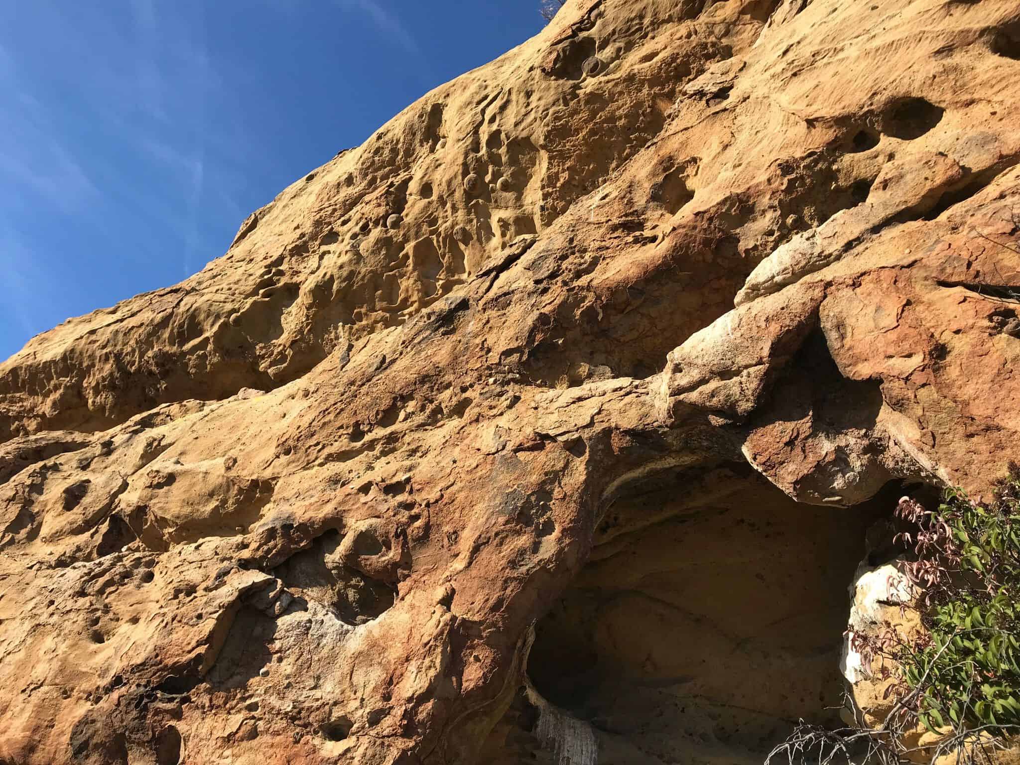 SEMI-EASY 4 MILE HIKE thru the forest, thru the woods, over a bridge and into 3 caves!! There's several Indian Morteros ( those holes etched into rocks where the Indians ground up acorns to make flour ) GOOGLE MAPS to the hike:https://goo.gl/maps/R47TQQekeXB2 there's a fair amount of VOLUNTARY rock scrambling and a very small amount […] |
1 hike,
-
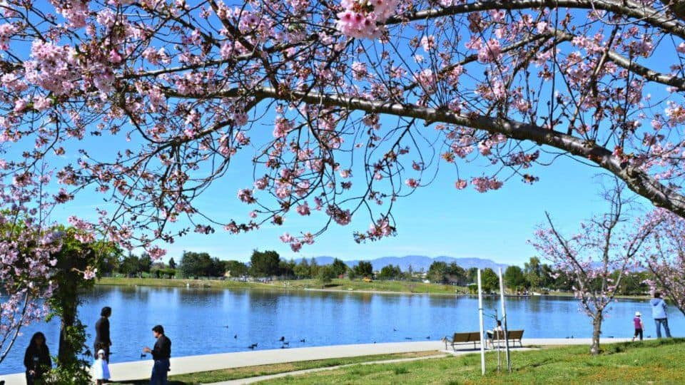 BEFORE YOU WILL BE MOVED TO THE GOING LIST, YOU WILL NEED TO UPDATE YOUR CDH PROFILE (The three questions must be answered with a "yes") IF YOU HAVE NOT ALREADY DONE SO.NEED HELP:go to: https://wp.me/P9MbG4-hC BIKE RIDE FROM LAKE BALBOA TO NORTHRIDGE AND BACK The Orange Line bikeway runs along the Orange Line in […] |
1 hike,
-
 Easy Intermediate, 4.5 miles, 900' gain. This is a unique loop through Wildwood Park that takes us to the famous Lizard Rock. There are several extended inclines and a few short but steep climbs that cause this to be rated on the easy end of the intermediate spectrum. Beginners will still have no problem completing […] |
1 hike,
-
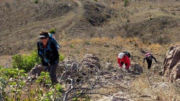 DetailsBEFORE YOU WILL BE MOVED TO THE GOING LIST, YOU WILL NEED TO UPDATE YOUR CDH PROFILE (The three questions must be answered with a "yes") IF YOU HAVE NOT ALREADY DONE SO.NEED HELP:go to: https://wp.me/P9MbG4-hC It's time once again to take on Conejo Mountain via a rocky ridgeline via a cross country route. We'll […] |
2 hikes,
-
THIS A CONDITIONING HIKE! Our group hikes at a minimum of 2.5 miles per hour. You must be able to keep up with the group. Please sign up for this conditioning hike only if you can do this. Use the directions to the trailhead as described below. You must be able to hike 2.5 miles […]
-
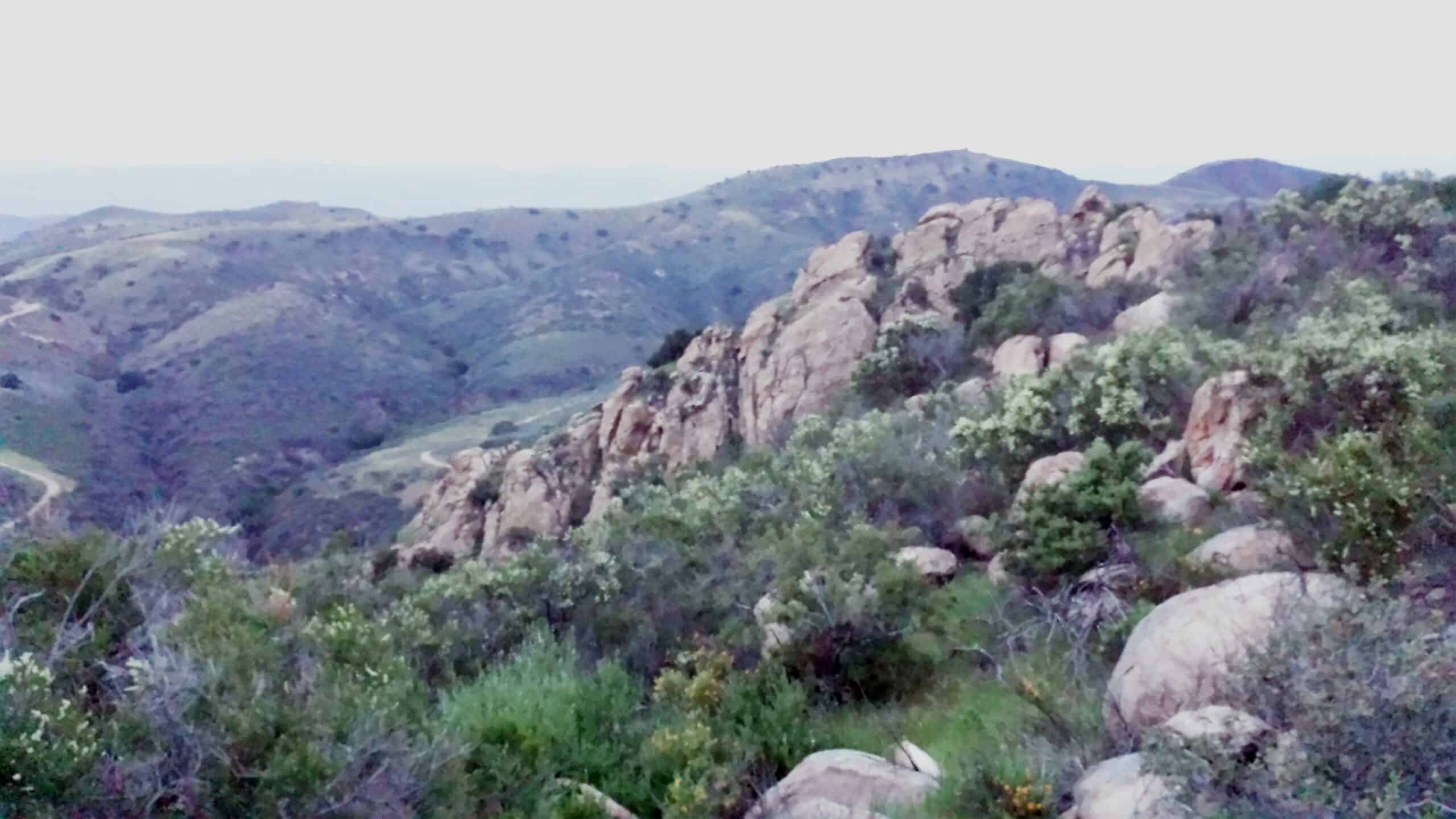 3.2 miles, 900' gain, easy intermediate. The first part is a steady incline, followed by a rolling trail to our destination. Fit beginners can complete this hike, but it will certainly get their blood pumping. There are no super steep sections. This hike takes us to a secret spot below a large rock formation. Naturally […] |
2 hikes,
-
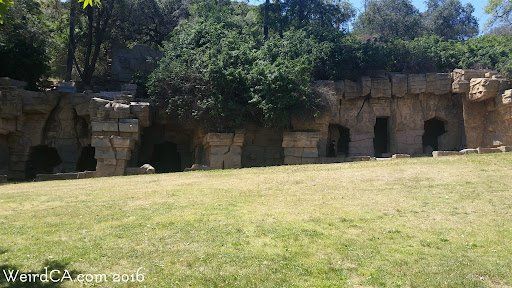 BEFORE YOU WILL BE MOVED TO THE GOING LIST, YOU WILL NEED TO UPDATE YOUR CDH PROFILE (The three questions must be answered with a "yes") IF YOU HAVE NOT ALREADY DONE SO.NEED HELP:go to: https://wp.me/P9MbG4-hC I'll be hiking the upper Beacon and Old Zoo trails as well as lower Beacon and Old Zoo trails […] |
1 hike,
-
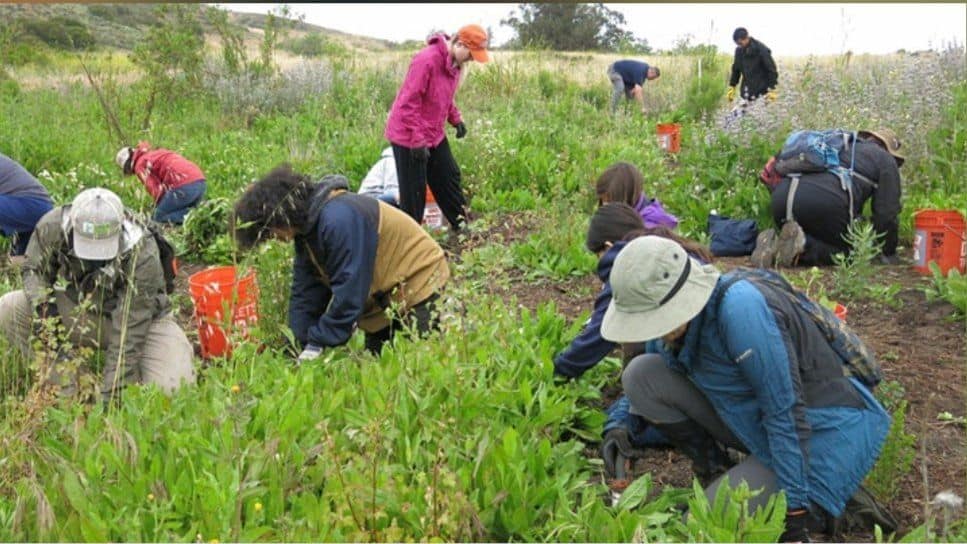 I'll lead in with saying that this event is not an official Calabasas Day Hikers event, and I'm not the official host. With Saturday being National Public Lands Day, I thought I'd take some hike time and spend it giving back to one of the areas our group uses most. It's sponsored by one of […] |
4 hikes,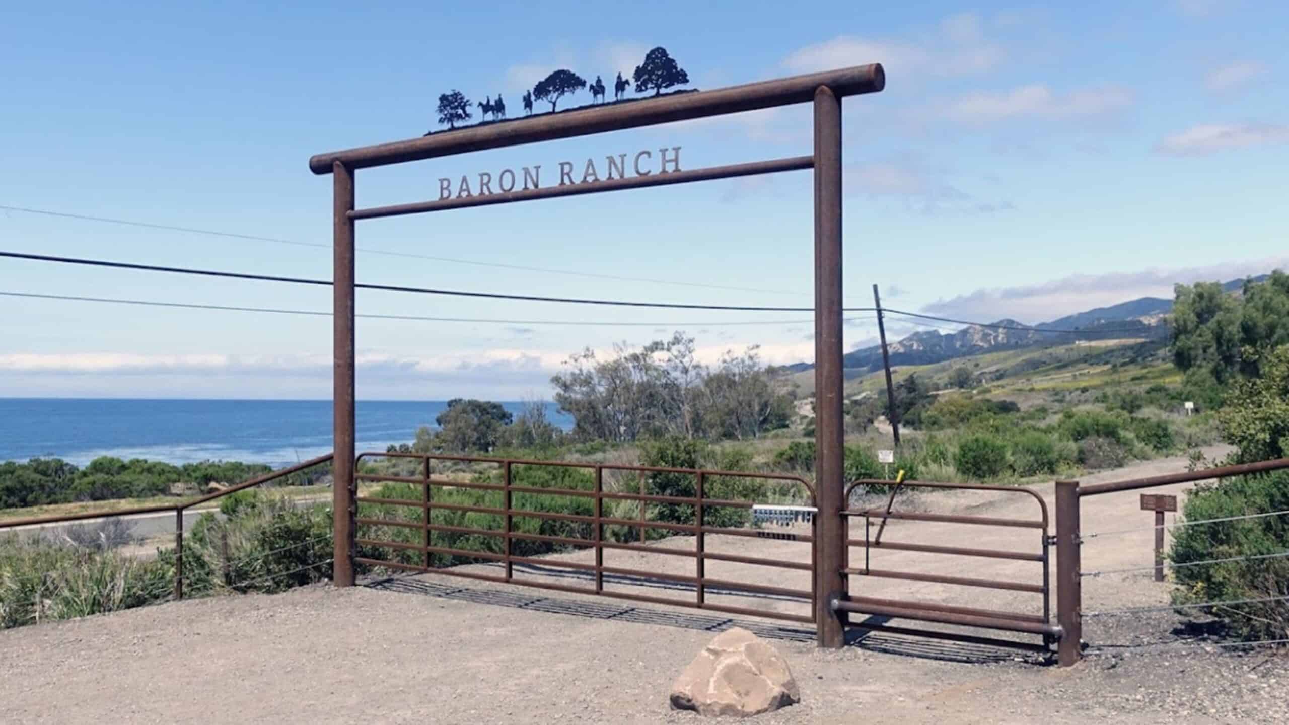
Featured
-
Featured
Have you ever heard of the Baron Ranch hiking trails? Most folks haven’t, but it’s a splendid -- and sometimes shady -- trail a couple miles west of Refugio State Beach and it’s worth the trip. And if that's not enough, we'll have a picnic at Refugio SB after the hike where Ann and I […]
-
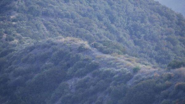 The Stats Distance 6.5 milesRating 6-7/10, not for beginnersElevation gain: 2000 ft.Trail: Fire Roads and Trails w/ some steep uphills The PlanDon's writeup Warning: This route starts uphill 1950 feet in less than 2 miles so don't say I didn't warn you!! Depending on your abilities gloves could come in handy and you could be […]
-
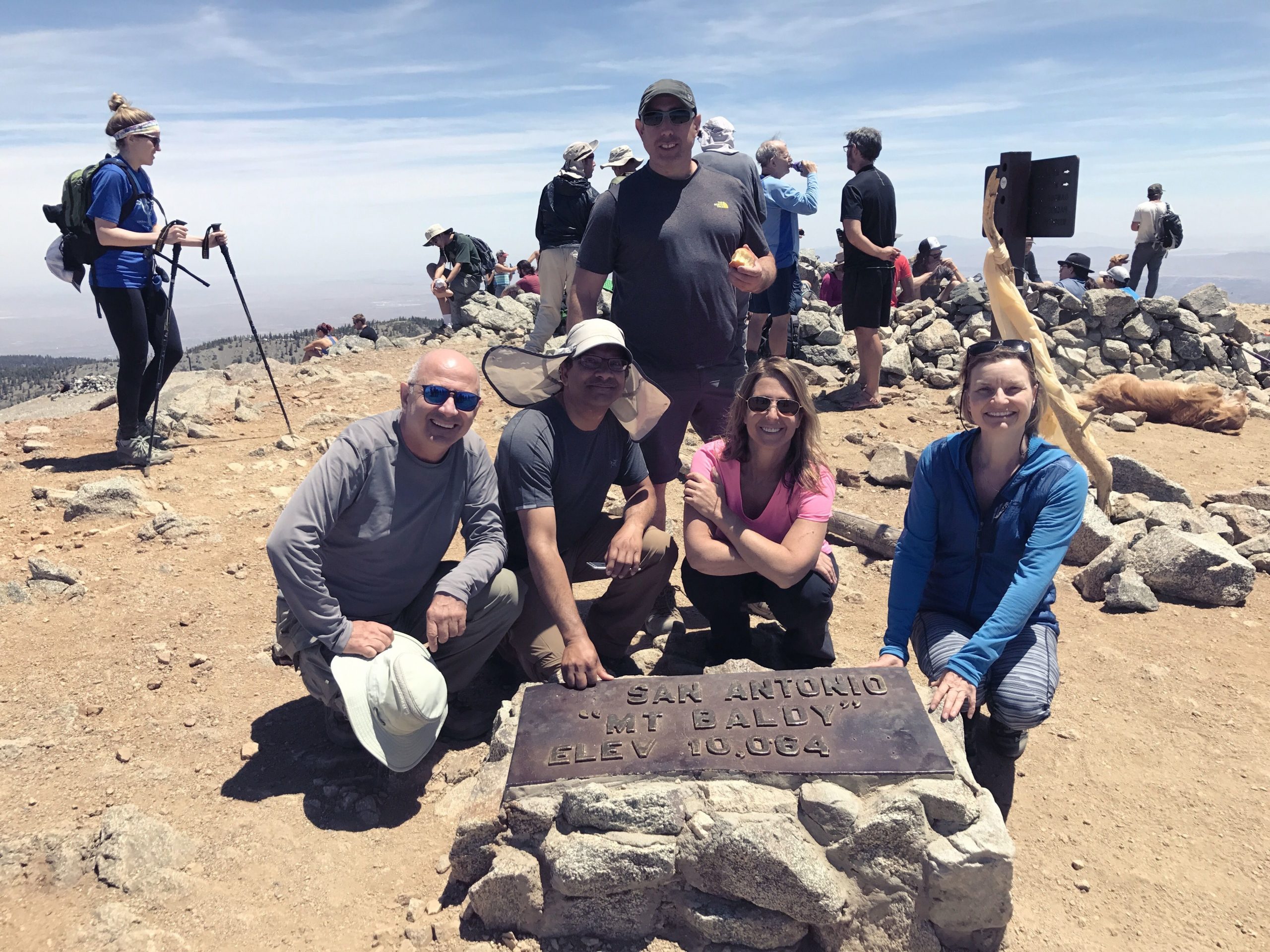 Sorry for the short notice but the forecast for thunderstorms has waffled back and forth. It finally looks like Sunday will be a day with zero T'storm chances. Hike to the summit via the Ski Hut trail and descend via the Backbone trail to the Notch and then via the service road back down to […] |
1 hike,
-
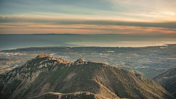 BEFORE YOU WILL BE MOVED TO THE GOING LIST, YOU WILL NEED TO UPDATE YOUR CDH PROFILE (The three questions must be answered with a "yes") IF YOU HAVE NOT ALREADY DONE SO.NEED HELP:go to: https://wp.me/P9MbG4-hC BIKE RIDE ALONG THE RIDGELINE ABOVE SANTA BARBARA I like scenery and great views when I ride my bike. […] |
1 hike,
-
 5 miles, 1200' gain, Intermediate This hike is one of the most well known in Simi Valley. It contains beautiful sandstone formations throughout the hike and there are fantastic views of the valleys. There is really no way to get lost because there are no junctions. If one chooses, they can turn around and return […] |
2 hikes,
-
BEFORE YOU WILL BE MOVED TO THE GOING LIST, YOU WILL NEED TO UPDATE YOUR CDH PROFILE (The three questions must be answered with a "yes") IF YOU HAVE NOT ALREADY DONE SO.NEED HELP:go to: https://wp.me/P9MbG4-hC Have you looked at our past events into the RAZORBACK ridge area of the Los Padres National Forest and […]
-
 Another spectacular section of the Backbone Trail this hike includes staggering views of pink colored sedimentary rock formations, beautifully shaded live oak, streams and a sloping green meadow. Its perhaps one of the shadiest sections of the Backbone Trail. At the top we will see many fossils in the sandstone. Instead of the usual destination […] |
4 hikes,
Featured
-
Featured
I've curated the Top 10 hiking gear from Amazon that are a fit for our kind of hikes. Selection was also based on sales and ratings. Shop NOW at https://www.hikingwithdean.com/shop/amazon-top-10/ Meetup forces me to include a start and end time -- just ignore it I'll be adding more stuff so check back often Note: As […]
-
THIS A CONDITIONING HIKE! Our group hikes at a minimum of 2.5 miles per hour. You must be able to keep up with the group. Please sign up for this conditioning hike only if you can do this. Use the directions to the trailhead as described below. You must be able to hike 2.5 miles […]
-
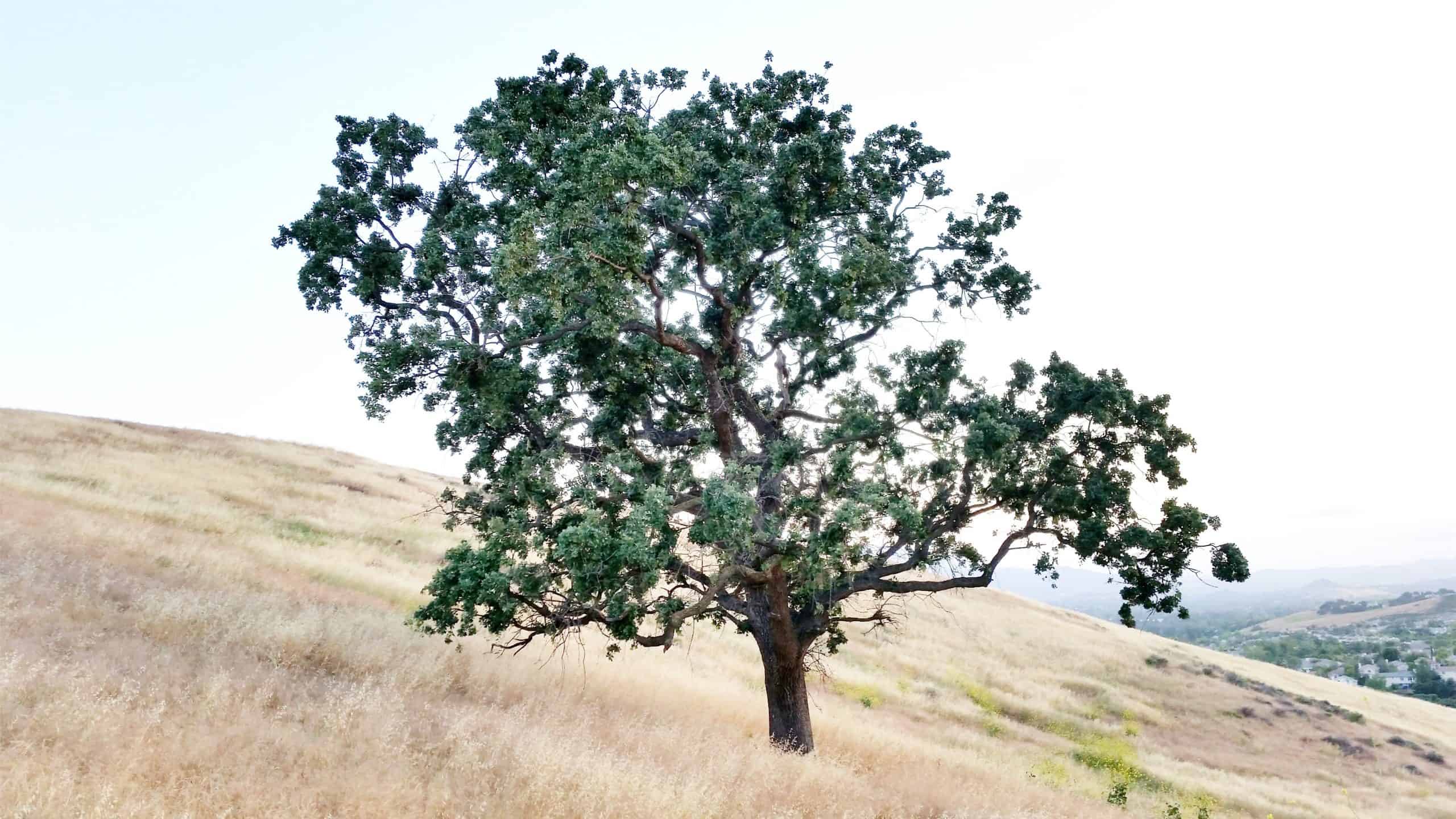 3 miles, 650' gain, fit beginner. There is one extended climb in the middle of the hike that is relatively mild (it is fire road) but continues for about a mile. Being a fire road, steepness is limited to that which a vehicle can climb. Starting from the Long Canyon trailhead parking lot, we head […] |
3 hikes,
-
 LET'S TAKE THE TRAIN --- FROM SIMI TO CARP!Saturday - October 2, 2021 Depart the Simi Valley station at 10:07 AM and arrive in Carpinteria at 11:20.We can meet near the tracks starting around 9:20 AM. Trip around the Avocado Festival, Islands Brewery, Rincon Brewery, Carpinteria Bluffs & Beach (tide pools & tar pits), great […]
-
 Hosted by Dennis and Glenna.Their personal friends will also be coming. Location: Moorpark. The address will be sent to those that have been confirmed, a day or so before the event. There will be an outdoor movie, popcorn, and music.This is a Pot-Luck and BYOB. Please post what dish you a variety of different items. |
5 hikes,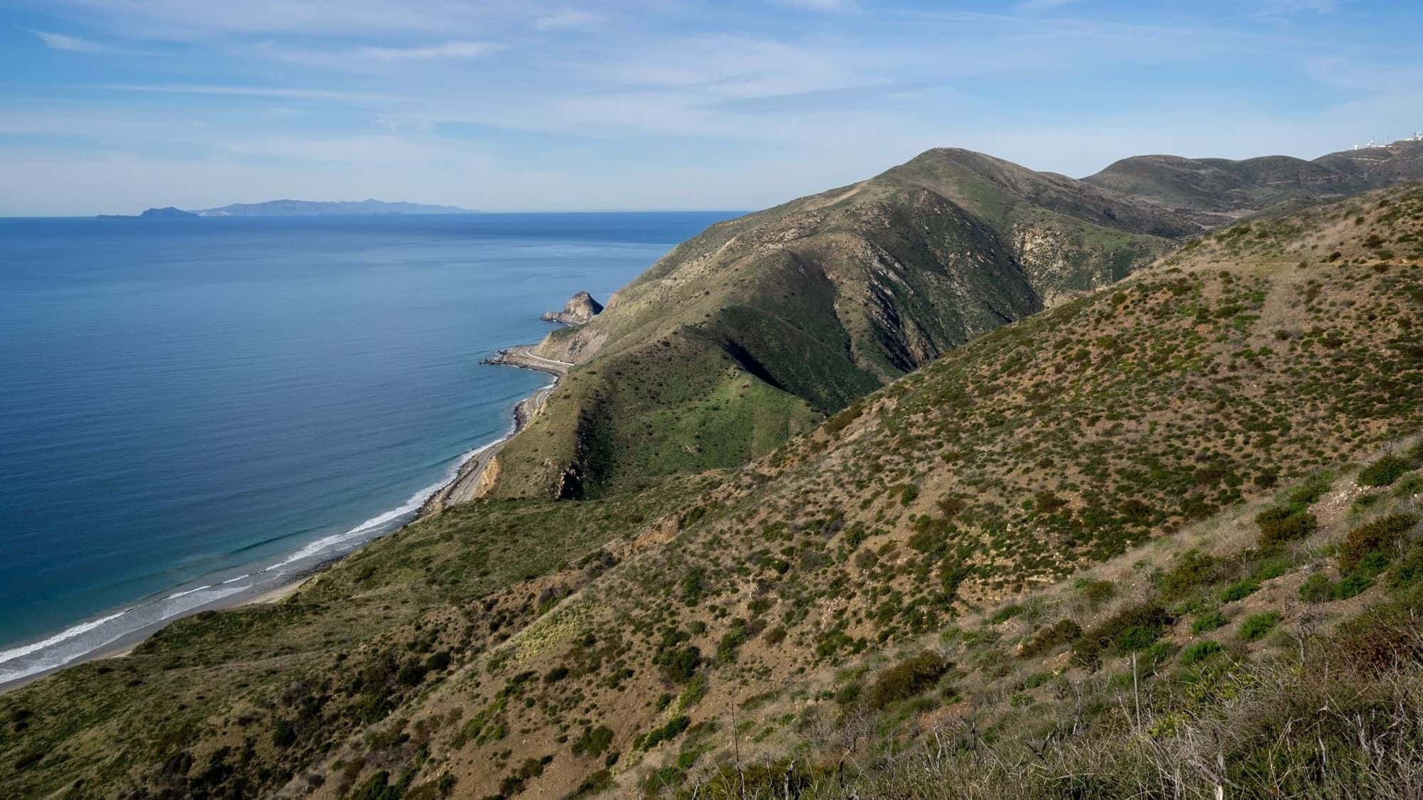
Featured
-
Featured
Details Join us and the small animals and birds of La Jolla Canyon on this loop hike with panoramic views of coastline and The Channel Islands. Flower blooms in the spring are phenomenal. One of the the main attractions are large swaths of native California grassland — some of the last remaining unspoiled areas in […]
-
FAST PACED HikeEnjoy the camaraderie of fellow Hikers and get a great workout close to home. You're done before noon! Distance: Approximately 8 miles Elevation Gain: Approximately 1,500 ft This hike is rated moderate for its elevation gain and distance. Drink plenty of water prior to and during the hike. Follow the directions to the […]
-
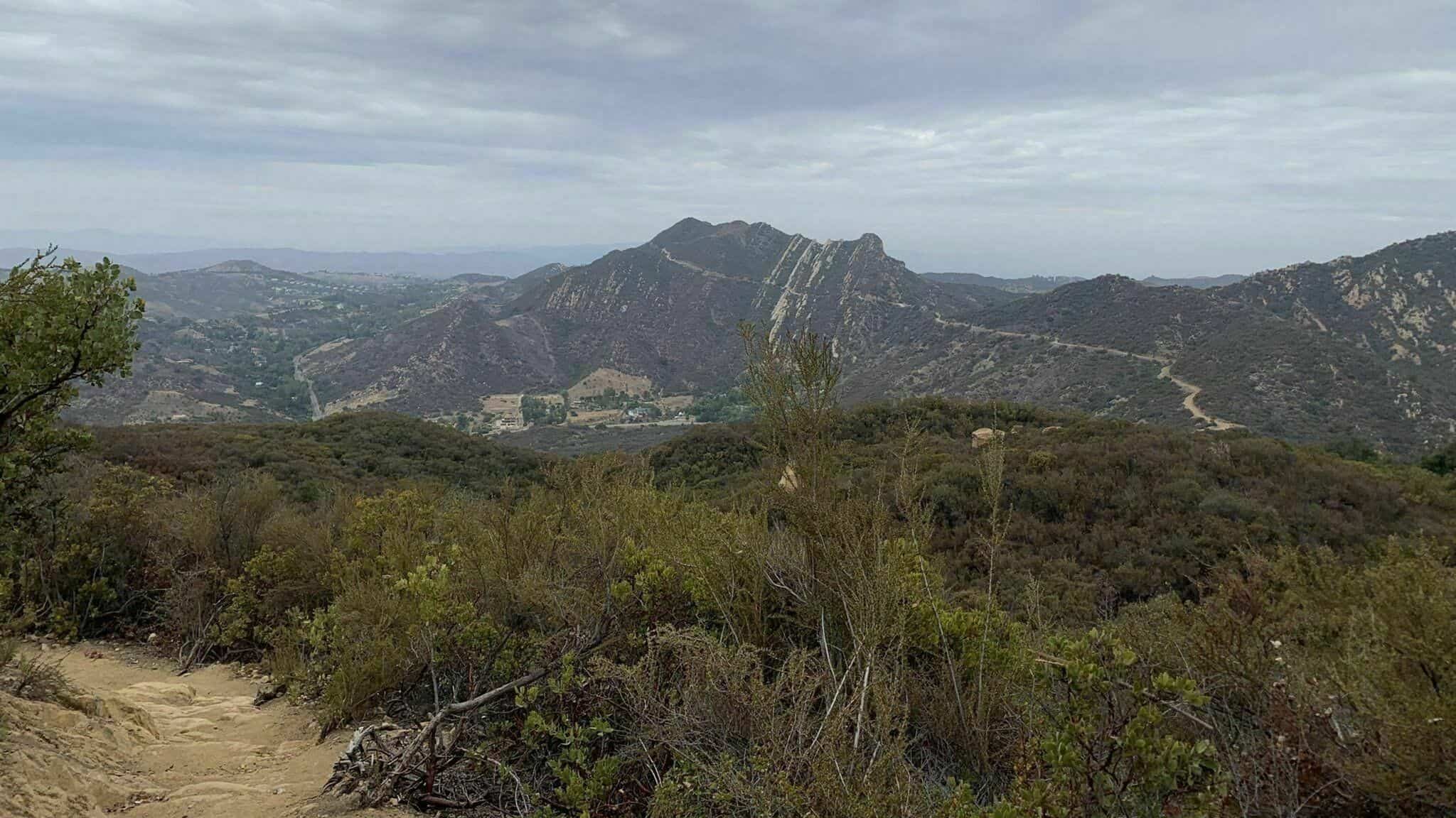 https://www.alltrails.com/trail/us/california/stunt-high-trail Hello Fellow Hikers,This trail looks so pretty a lot of shaded areas with oak trees that line the side of the trail. And open meadow sections. Also sections with gradual climbs. The trail will end at Mulholland drive will we will make our way back. Now there are two trails in this area we […] |
Trail statistics are approximate. For safety purposes always assume they are underestimated. But don’t be disappointed if they are overestimated. Bring more water and snacks than you think you’ll need. Trail descriptions are based on previous hikes. Current conditions are unknown until arrival. Expect the unexpected and plan accordingly. The Organizers and members of Hiking With Dean are not professional leaders, guides, or mountaineers. The function of the member or organizer is only to organize the trip. Each person who shows up for a trip/meetup (and their guest or guests) is responsible for his or her own safety. By attending a hike, or any other event organized by this group, you are acknowledging that you and any guests that you bring are aware of the risks, dangers and hazards associated with the activity and freely accept and fully assume all such risks, dangers and hazards, and further agree to release and discharge the Organizers, Members of the Hiking With Dean Meetup Group from and against any and all liability arising from your participation in the group activities per our ASSUMPTION OF RISK AND LIABILITY WAIVER and Section 6.2 of the Meetup.com Terms of Service. |





Recent Comments