

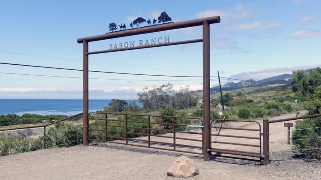
Have you ever heard of the Baron Ranch hiking trails? Most folks haven’t, but it’s a splendid — and sometimes shady — trail a couple miles west of Refugio State Beach and it’s worth the trip.
And if that’s not enough, we’ll have a picnic at Refugio SB after the hike where Ann and I have reserved two campsites.
The hike is about a 6.9 mile lollipop with 1,300′ total ascent and is rated MEDIUM. See the hike rating guide at https://www.hikingwithdean.com/hike-rating-guide/
Our hike begins in the canyon that forms the Arroyo Quemado Creek watershed. The trail follows a network of ranch roads leading through a habitat restoration area and into the backcountry.
The first mile of the trail is relatively flat and follows the bottom of the canyon. Just beyond the one-mile mark the road transitions into the riparian zone and continues to parallel the creek, it’s here that the trail starts to take on a more wilderness feel.
At 2.1 miles and 2.6 miles, the trail splits to form a loop up into the mountains. The upper portion of the Loop Trail provides some exceptional vistas down the canyon and out towards the ocean with views of the island on a clear day. Views along the canyons open up to reveal the Pacific Ocean and the Channel Islands. At the top of the loop, the single-track section of the Loop Trail trail connects again to a ranch road and then returns to the beginning of the loop and the main trail.
[Note. The trail is currently closed until 9/17 due to the recent restrictions placed on California’s National Forests in order to prevent fire activity.]
DIRECTIONS
– Take Hwy 101 North, 2.4 miles past Refugio Road and exit
– Turn right at the road crossing onto Arroyo Quemada Ln. (Watch for the yellow sign indicating “cross-traffic ahead”).
– Immediately turn left onto Calle Real and proceed approximately 3/4 mile until the road reaches a street sign that says “End”.
– Use the circle to turn around and park along Calle Real.


