

3 miles, 650′ gain, fit beginner.
There is one extended climb in the middle of the hike that is relatively mild (it is fire road) but continues for about a mile. Being a fire road, steepness is limited to that which a vehicle can climb.
Starting from the Long Canyon trailhead parking lot, we head west on the Woodridge Connector along the sides of houses. Note that is not heading UP from the trail head. This is a relatively flat section for about 3/4 mile.
Left at the asphalt along Woodridge Loop Trail, immediate right at the split, then continue until it comes to an end at a junction. Left and continue to another junction. Make a right, go about 50′ to another junction, make a right again, then 300′ to Autumn Ridge Trail.
Left and continue for about a mile. This is a fire road and a steady climb. We continue until 5-points junction.
Make a hard left onto Sunrise trail, then up to the bench. There, we’ll stop for a snack and beverage share (https://www.meetup.com/Hiking-Plus/messages/boards/thread/50879772).
For the return, we’ll turn right and follow Long Canyon Trail back to the parking lot.
A picture of the route is posted at the end of the description.
Interesting Notes:
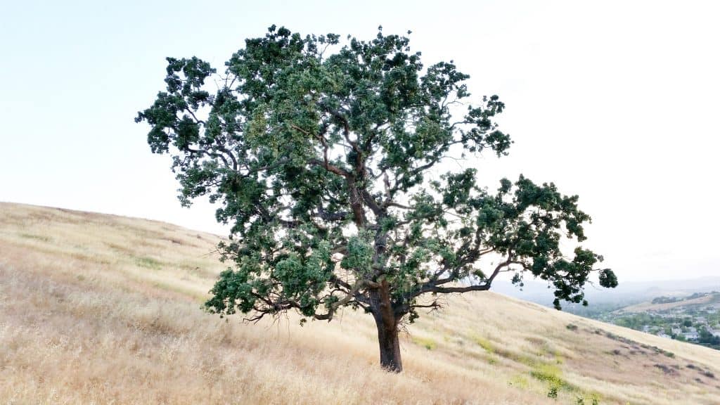
Take notice of the Eucalyptus tree at the trailhead.
Along the left side of the trail during the last 200′ (last because we are doing a counter-clockwise loop), you will see:
White Sage – the leaves are very fragrant when pinched
Elderberry – The blue or purple berries can be made into elderberry wine, jam, syrup, and pies.
Hike
Distance: 3 miles
Gain: 650
Distribution: A moderate fire-road climb at the middle portion of the hike.
Difficulty (https://www.meetup.com/Hiking-Plus/messages/boards/thread/50879781): Fit Beginner.
Shape: Loop, counter-clockwise.
Pace: 2.0 mph.
Trail Type: Fire road, single and double track. Areas of sand, gravel, and rock, some of it rugged.
Trail Variations:
The beginning is a flat walk.
The middle will have an extended incline of about 1000 steps.
The end is downhill, but somewhat steep.
Duration: 3.5 hours
Dogs: Yes.
Restrooms: No
Drinking Fountains: No.
Parking: Free in the paved parking area in front of the trail head.
What to bring:
1 liter of water for every 3 miles.
Snacks and/or beverages to share (https://www.meetup.com/Hiking-Plus/messages/boards/thread/50879772).
Hiking shoes preferred, but athletic shoes will be OK.
Flashlight or headlamp.
Sunscreen and/or hat as needed.
Hosting
Route: The host knows the route.
Navigation: Host memory, enhanced by GPS navigation as needed.
Hike type: Social.
We won’t be hiking at a fast pace because this is a social hike, not a conditioning hike. There is nothing wrong with stopping, even if it means every 50 steps. See “How hard is this hike” in the discussion section (LINK (https://www.meetup.com/Hiking-Plus/messages/boards/thread/50879781)).
Stops:
The host may designate stopping points to let others catch up. This hike will include an extended stop for a snack and beverage share just before the last segment down (https://www.meetup.com/Hiking-Plus/messages/boards/thread/50879772) at the half way point.
We will stop at junctions to make sure everybody makes any turns or chooses the correct direction at splits, else something will be used to mark the direction, usually a large arrow made of baking soda or some sticks in the shape of an arrow. There may not always be a sweeper designated to be the last hiker.
Each hiker is responsible for knowing their capability, only attending events where they are able to sustain the described pace, for keeping up with the group sufficiently enough to make the turns and not get left behind, and for making sure the host is notified if they are going to split from the group.
Group separation:
Sometimes hikers wish to move significantly ahead and not wait at designated stopping points. Please let the host know. They are on their own regarding route and navigation.
Directions:
Where Long Canyon Rd. and S. Wood Ranch Pkwy. intersect in Simi Valley. There is a free paved parking lot at the trailhead on the southwest corner.
From CA-23 and I-101:
North CA-23, exit Olsen Rd.
Right (east) on Olsen Rd., which becomes Madera Rd., for 2 miles.
Right (south) on N. Wood Ranch Pkwy., which becomes S. Wood Ranch Pkwy., for 2 miles.
Right at dead end (intersection with Long Canyon Rd.) and immediate left into parking lot.
From CA-118 and CA-27:
West CA-118, exit 23 onto 1st St.
Left (south) on 1st St., which becomes Long Canyon Rd., for 5 miles.
Cross at dead end (intersection with S. Wood Ranch Pkwy.) and immediate left into parking lot.
Coordinates of trailhead: 34.228330, -118.803130
Address of a nearby house: 597 Shadow Ln., Simi Valley, CA 93065
Arrive early, because sometimes the parking lot gets full. If this happens, we’ll need another 15 minutes to carpool from a nearly parking lot.
Disclaimer / Release of Liability:
https://www.meetup.com/Hiking-Plus/pages/29622459/Is_Hiking_Dangerous/


