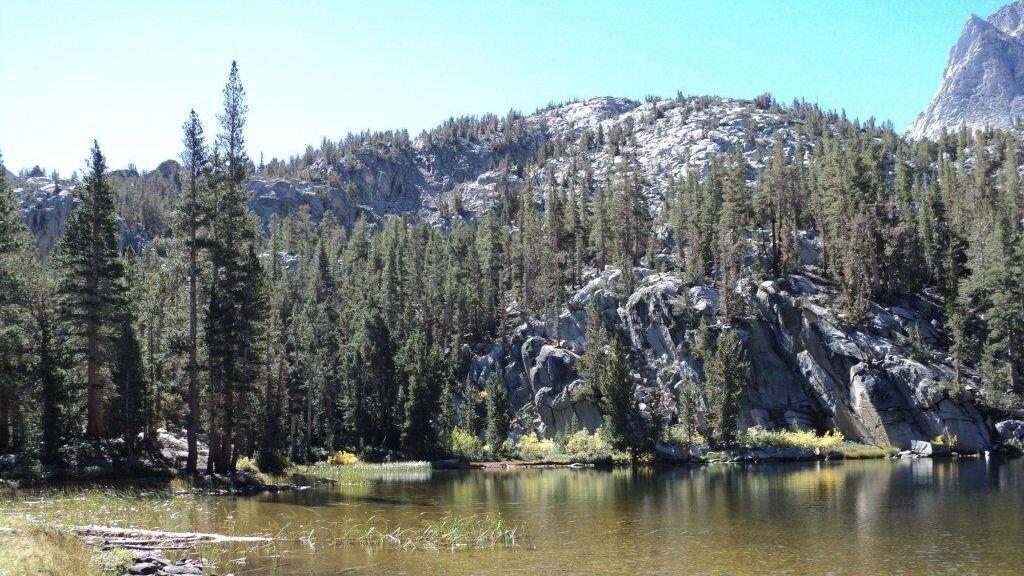
Description: This is a 2-night backpacking trip. On May 29, 2021, we meet at the Bishop Pass Trailhead at 7:00 a.m. Then, we start our hike to Bishop Lake at 7:30 a.m. At Bishop Lake, we set up our tents and stay overnight. The following day, we do a day hike and return to our […]
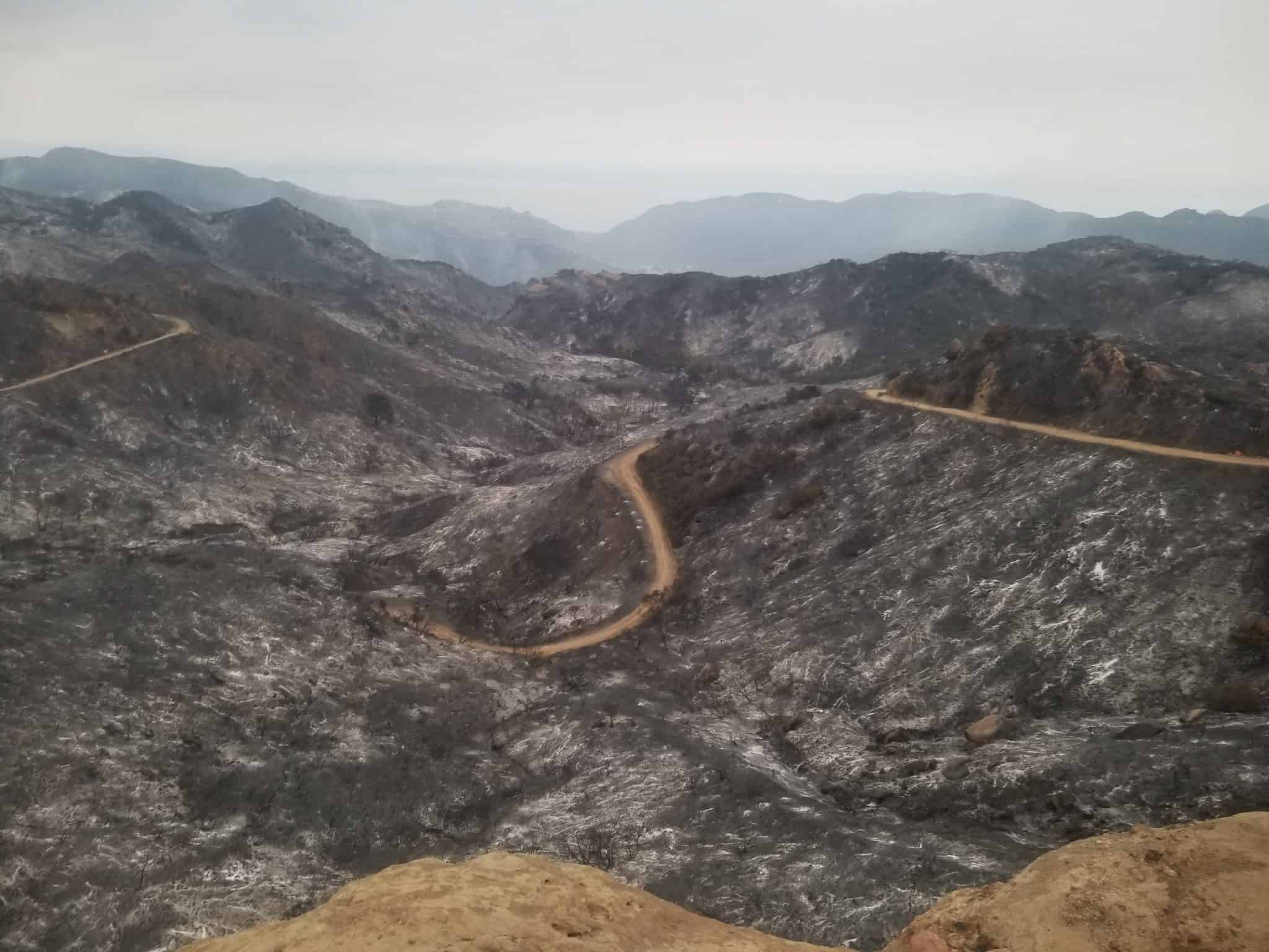
Scroll down to rsvpPark Closure Notice (May 30, 2021): Most trails in Topanga State Park are currently closed until further notice due to the Pacific Palisades fire. Los Leonis Trail is open. Temescal Ridge and Waterfall Trail in Temescal Gatway Park and Rivas Canyon have opened (but not part of TSP). Please continue to check […]
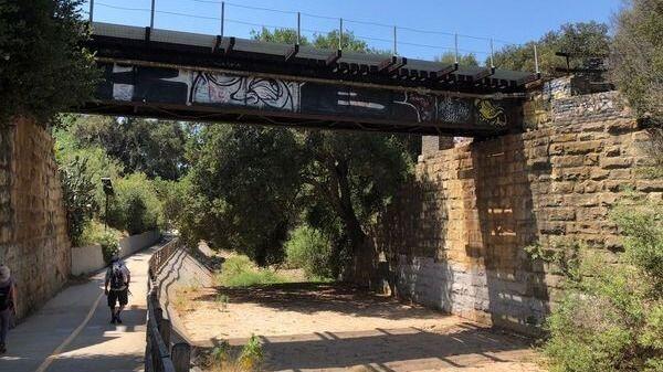
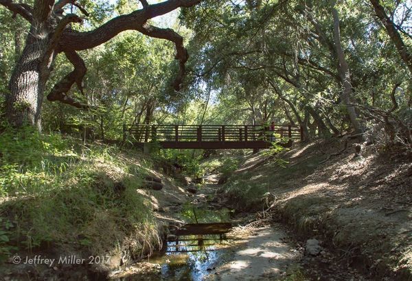
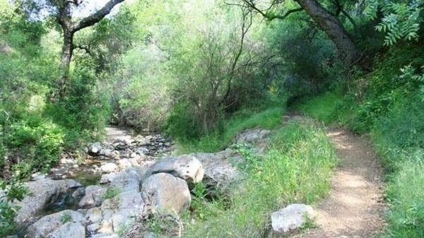
Here's an opportunity for our experienced beginner Trekkers to enjoy this beautiful area in Santa Barbara that our Intermediate Trekkers have done in the past. But this version is much shorter and far less elevation gain. As you can see from the photo above, there is a creek (San Roque) that the Arroyo Burrow trail […]
Come to the hike only (3:30p), picnic only (5:00p), or both. Warning: Google Maps may take you to the incorrect location, although the address is correct. Please follow the written directions. 3.5 miles, 500' gain, or if you choose to continue, 5.2 miles, 1140' gain. The Hike3:30 pm at the parking lot entrance. The hike […]
We will be tagging Haddock. Be at the trailhead by 9. 8-10 miles ( might include Reyes on the way back). Carpooling available from Ventura. FYI this is about a 2 hour drive from Ventura to the trailhead.
Distance: 3.25 milesGain: 750This hike is suitable for fit beginners (https://www.meetup.com/Hiking-Plus/messages/boards/thread/50879781). Park on the south side of the CA-118 at the Rocky Peak exit. We'll walk west along the Santa Susana Pass Rd. for about 500 feet. Directly across from Lilac Ln, we'll enter a trail. We'll move along a relatively flat section for 1/2 […]
Description:The hike ascends to Mission Point, aka Mission Peak, via the Mario A DeCampos Trail. The peak is the second highest summit in the Santa Susana mountain range behind Oat Mountain. This trail meanders up a beautiful ridge through walnut and oak groves and open grassland, providing broad views of the San Fernando Valley and […]
Let's shoot the core of the Milky Way. This time let's aim at the sky from the Trona Pinnacles. I've never been to Trona Pinnacles. But based on the Clear Sky Chart, it's one of the places in California that is still rated at Bortle 2. The plan is to be at the shooting location […]
https://www.alltrails.com/trail/us/california/ocean-and-canyon-view-trail?u=i Hello Fellow Hikers,This is gonna be a collaboration hike with Facebook Hikerbabes (Malibu Chapter) Everyone is welcome and great to meet new fellow hikers that enjoy the outdoors like we do. Okay this trail...This is a more lightly trafficked trail. We will encounter more horses than mountain bikes on this one. The trail is […]
BEFORE YOU WILL BE MOVED TO THE GOING LIST, YOU WILL NEED TO UPDATE YOUR CDH PROFILE (The three questions must be answered with a "yes") IF YOU HAVE NOT ALREADY DONE SO.NEED HELP:go to: https://wp.me/P9MbG4-hC BIKE RIDE - Temescal Canyon to Marina Del Rey and back.The route will be on the Marvin Braude Bike […]
National Trails Day is a celebration of trails that evolved from the report of President Ronald Reagan's President's Commission on Americans Outdoors. In 1987, the report recommended that all Americans be able to go out their front doors and within fifteen minutes, be on trails that wind through their cities or towns and bring them […]
COVID precautions still apply. Please be mindful of other people's space. BOULDERING, ROCK HOPPING & UNEVEN HIKING SURFACES. Wear shoes you can get wet. You're almost guaranteed to go in at least knee deep into the water at some point. We'll be exploring past our usual lunch spot three miles in with regrouping points along […]
3.5 miles, 600' gain, Easy Intermediate. A fit beginner can handle this. Because there are a couple extended inclines, I've rated this at the easy end of the intermediate spectrum. That's OK, because this is a social hike, not a conditioning hike. We'll start by entering the Los Padres trail, through a spooky oak covered […]
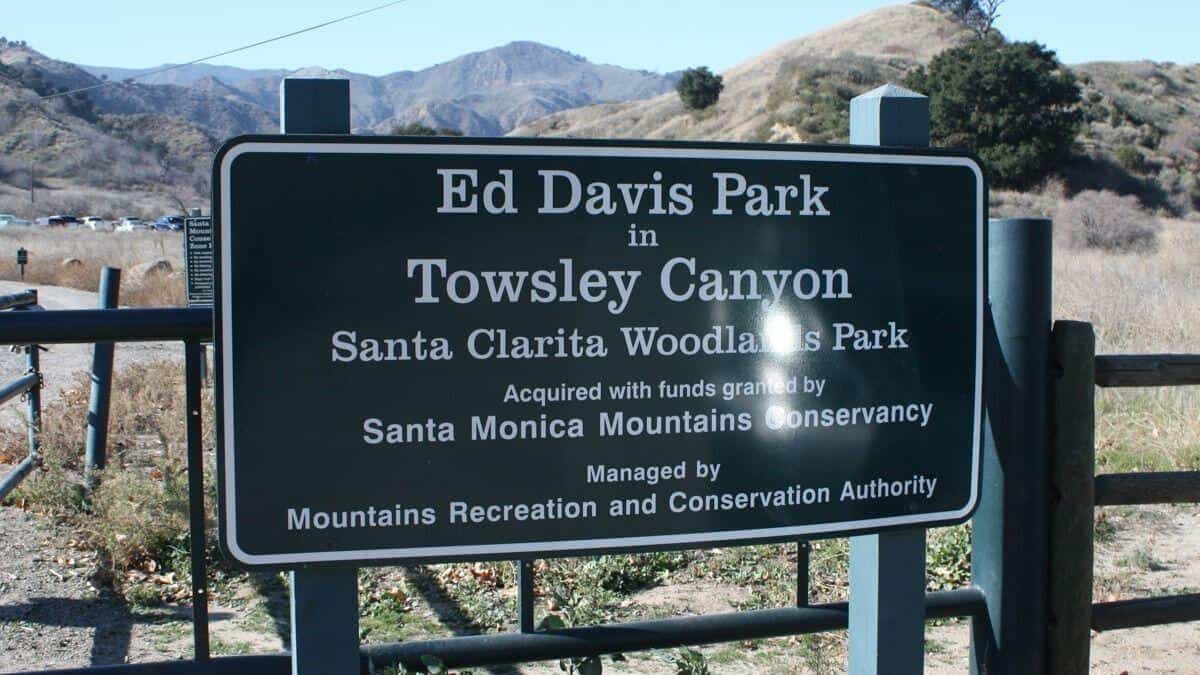
The Ed Davis Park in Towsely Canyon has several trails and we will take the most popular. Distance: 6 milesElevation Gain: 1600 ftDifficulty: Beginner to Intermediate pace.Dogs: are allowed in the park but must be leashed.Parking: There is lots of free parking on the outside of the gate and also on the inside. Pay attention […]
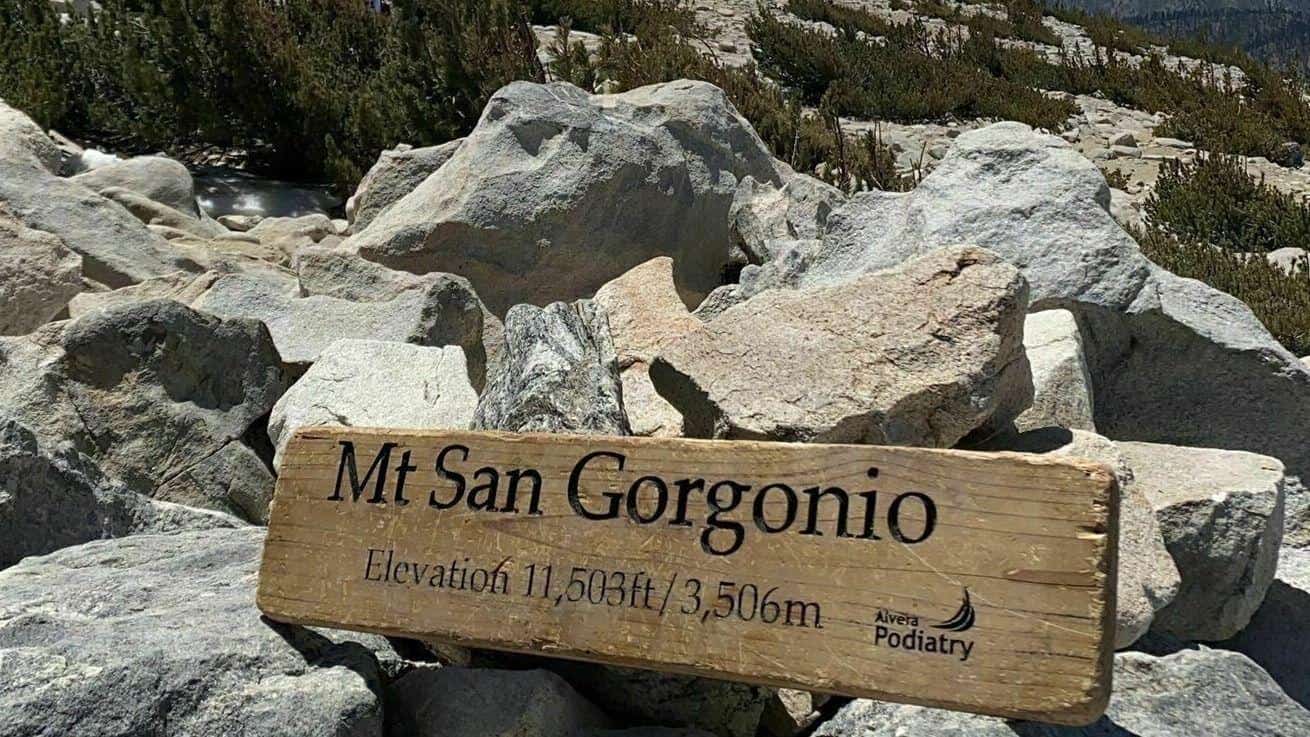
https://www.alltrails.com/trail/us/california/san-gorgonio-mountain-from-fish-creek?u=i Hello Fellow Hikers,San Gorgonio Mountain, also known locally as Mount San Gorgonio, or Old Greyback, is the highest peak in Southern California and the Transverse Ranges at 11,503 feet (3,506 m)Spanish missionaries in the area during the early 17th century named the peak after Saint Gorgonius. Since it is the highest point in a […]
Meet at the trailhead at 2. We will be taking the upper single track, down to the main road, north to the first intersection and back to the parking lot. 6 miles moderate.
We will be tagging thorn point and probably San Guillermo peak. Both peaks are off Grade Valley rd. Est 10-12 miles. Difficulty- hard. Some bushwhacking may occur. Meet at the McDonald’s in Fillmore at 7am.
We will be tagging Thorn and then maybe San Guillermo. 10ish miles moderate. Meet at the McDonalds in Fillmore at 0700. We can carpool from there. A high clearance vehicle is recommended.
We will be tagging thorn point and probably San Guillermo peak. Both peaks are off Grade Valley rd. Est 10-12 miles. Difficulty- hard. Some bushwhacking may occur. Meet at the McDonald’s in Fillmore at 7am.
Welcome back!THIS A CONDITIONING HIKE! Our group hikes at a minimum of 2.5 miles per hour. You must be able to keep up with the group. Please sign up for this conditioning hike only if you can do this. Use the directions to the trailhead as described below. Bring a flashlight or headlamp. You must […]
As of July 7, 2020, the first part of the clockwise loop was closed, but we found a new and cooler route with a perfect place for a snack-share, complete with picnic table. We'll head up the ramp and begin the hike counter-clockwise. This ramp will be the only significant incline, but is still suitable […]
https://www.alltrails.com/trail/us/california/hillcrest-ridge-trail?u=i Hello fellow hikers,This neighborhood trail located in Thousand Oaks is known for a hill that is a butt kicker. This is one of those hikes that's a great workout. Fellow hikers and runners use this trail for a conditioning hike. So let's see what this trail has to offer. This trail is rated moderate […]
BEFORE YOU WILL BE MOVED TO THE GOING LIST, YOU WILL NEED TO UPDATE YOUR CDH PROFILE (The three questions must be answered with a "yes") IF YOU HAVE NOT ALREADY DONE SO.NEED HELP:go to: https://wp.me/P9MbG4-hC BIKE RIDE - Santa Barbara and Goleta bike pathsThe route will be on several bike paths that will take […]
Join our Facebook group: https://www.facebook.com/groups/hikingwithdean/ Details An HDW original, we’ve been following the footsteps of ET since 2008! Dogs are ok on this one. The open spaces and trails lacing Porter Ranch provides us the opportunity to wander the remaining vestiges of two riparian canyons and a cliff-rimmed hillside blanketed with aromatic sage. So let […]
Advanced Intermediate Hikers. You should have Mt. Baldy Summit experience via the Backbone Trail beforehand. Distance: 9 miles Elevation Gain: ~4,000 ft. Max elevation : 10,064 ft. Rating: 8/10 Strenuous Pace: Sauntering Trail: Looped some pavement, fire roads, but mostly single track and rocky trails ESSENTIALS: 2 Liters of water (Minimum) Sunscreen Hat Snacks Hiking […]
https://www.alltrails.com/trail/us/california/wildlife-trail--3?u=i Hello Fellow Hikers,If you haven't had the pleasure of hitting the Wildlife trail then now is your time. This is a 2.4 mile trail that kicks butt. No need to go to the gym for leg day after this trail. It's a great incline to the top then will meet up with the Rocky […]
Fit Beginner, 4.3 miles, 480' gain.If it's too hot, we'll change the return and make this an out-and-back instead of a loop, which lowers the gain to 230'. This is a pot luck picnic. Please also bring something to eat and drink, and a little extra to share. If your item requires it, bring plates […]
We'll start out by meeting outside the La Jolla Campground on PCH. From there we'll take on a 2 mile car shuttle to Sycamore Campground. This hike will start out very steep out of Sycamore Canyon following either The Scenic Trail or a use trail and The Overlook Trail until we've reached The Ray Miller […]
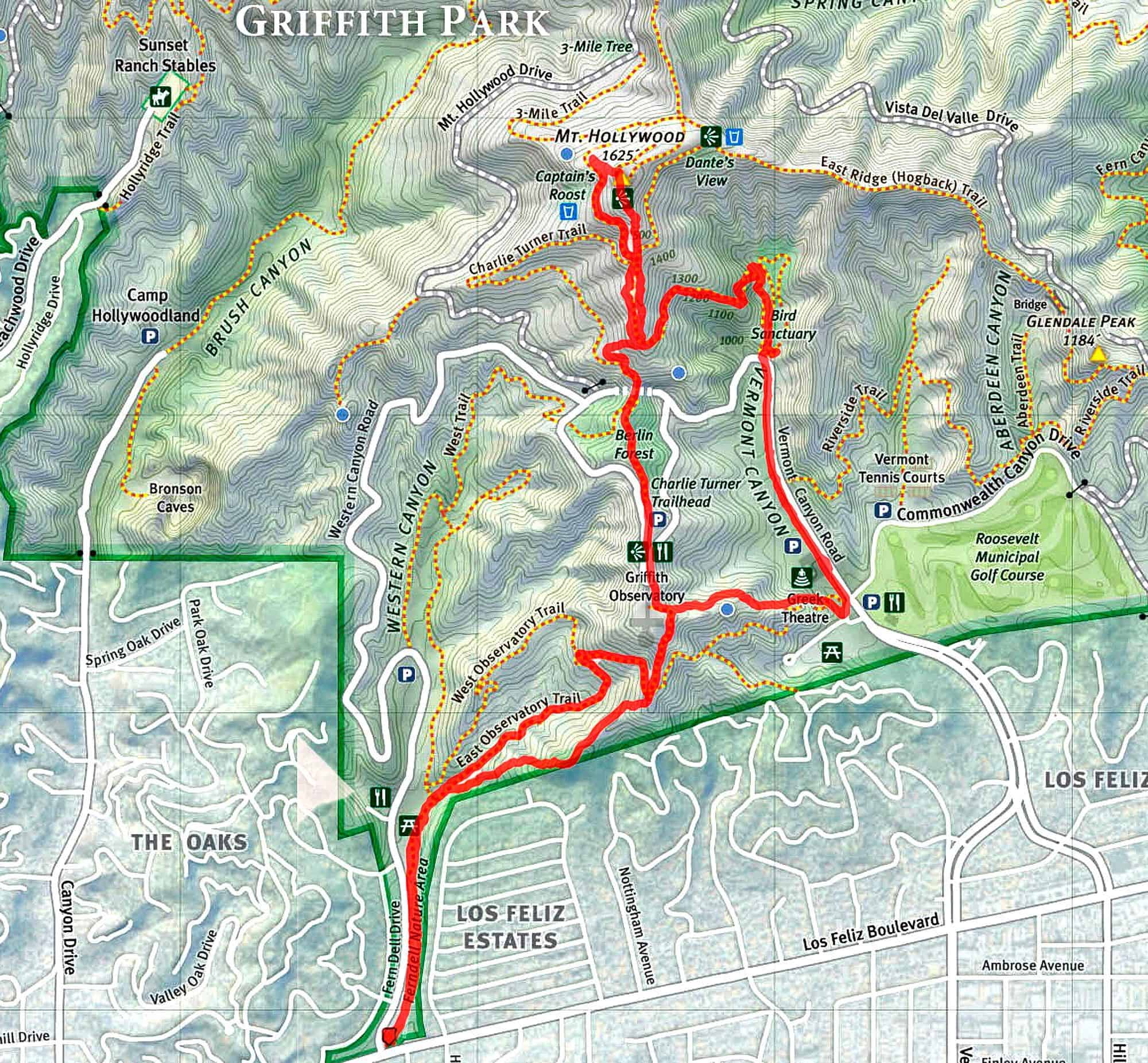
PLEASE NOTE 10 MINUTE GRACE PERIOD.Do not Park on Fern Dell Drive. Time - Meet at 6:30 p.m. , leave at 6:40 p.m.Distance - 6.5 milesElevation gain - approx 1500 ft.Difficulty: INTERMEDIATE/ADVANCED ... No beginners. Please be prepared for abrisk hike with minimal stops. Please no recent injuries! This is a BRISK hike intended to […]
Intermediate, 5.25 mi, 1000' gainThis is a cooler location compared to Simi Valley and surrounding areas. Fit beginners can complete this hike, but it will certainly get their blood pumping. This is not a conditioning hike, it's a social hike. We'll be stopping at various points to let people catch up and to make sure […]
Welcome back!THIS A CONDITIONING HIKE! Our group hikes at a minimum of 2.5 miles per hour. You must be able to keep up with the group. Please sign up for this conditioning hike only if you can do this. Use the directions to the trailhead as described below. Bring a flashlight or headlamp. You must […]
Fit Beginner, 4.1 miles, 720' gain. This is a cooler location compared to Simi Valley and surrounding areas. Is it Talepop or Talopop? Maps and signs that I have seen, use the 2nd spelling, but a lot of references use the other. There are several portions with extended inclines that will make a beginner hiker […]
Meet at the Walker Ranch Trailhead. Hike will be out and back and under 7mi. After the hike we will join Sara's event at Placerita Canyon Nature Center picnic area. Not for beginners Length: <7 miles Elevation Gain: 1800 ft. Rating: 7/10 Duration: 3 hours Directions Exit the 14 Fwy at Placerita Canyon Rd and […]
Changing it up a bit since it's going to be hot this weekend. Let's welcome summer with a beginner friendly social event. Come for the 3.5 mile hike and stay for the post hike activities OR just show up for the after hike meet and greet, BYO food and drinks picnic, and review of the […]
With two waterfalls, scenic volcanic outcroppings, a variety of hiking trails, several pleasant picnic areas, and abundant open space, Wildwood Park is a great place to escape the hustle and bustle of the nearby city. Highlights along the way: Fort WildwoodLynnmere TrailParadise FallsOak Grove - picnic site76 Steps TrailGold Canyon TrailA Tunnel About Wildwood Fort: […]
BEFORE YOU WILL BE MOVED TO THE GOING LIST, YOU WILL NEED TO UPDATE YOUR CDH PROFILE (The three questions must be answered with a "yes") IF YOU HAVE NOT ALREADY DONE SO.NEED HELP:go to: https://wp.me/P9MbG4-hC BIKE RIDE - Westlake VillageThe route will start at Triunfo Park and continue clockwise around the lake.We'll have the […]
BEFORE YOU WILL BE MOVED TO THE GOING LIST, YOU WILL NEED TO UPDATE YOUR CDH PROFILE (The three questions must be answered with a "yes") IF YOU HAVE NOT ALREADY DONE SO. BIKE RIDE FROM VENTURA TO FARIA POINT AND BACKWe'll be riding from San Buenaventura State Beach in Ventura to Hobson Beach Park. […]
Details Rocky Peak Summit Trail is a 4.6 mile heavily trafficked out and back trail located near Chatsworth, California that features interesting rock formations, beautiful wild flowers and is rated as moderate. The trail is primarily used for hiking, running, nature trips, and mountain biking and is accessible year-round. Dogs are also able to use […]
Intermediate, 5.25 mi, 1000' gainThis is a cooler location compared to Simi Valley and surrounding areas. Fit beginners can complete this hike, but it will certainly get their blood pumping. This is not a conditioning hike, it's a social hike. We'll be stopping at various points to let people catch up and to make sure […]
This Wednesday (8/31) I will be taking on one of the HPS peaks (Tehachapi Mountain 7960'). It's a two hour drive from Agoura Hills. The trailhead starts out at 6039' in the Tahachapi Mountain Park. Tehachapi Mountain is the high point of the Tehachapi Mountains, which dominate the northwest end of the Antelope Valley west […]
Welcome back!THIS A CONDITIONING HIKE! Our group hikes at a minimum of 2.5 miles per hour. You must be able to keep up with the group. Please sign up for this conditioning hike only if you can do this. Use the directions to the trailhead as described below. Bring a flashlight or headlamp. You must […]
Details Rocky Peak Summit Trail is a 4.6 mile heavily trafficked out and back trail located near Chatsworth, California that features interesting rock formations, beautiful wild flowers and is rated as moderate. The trail is primarily used for hiking, running, nature trips, and mountain biking and is accessible year-round. Dogs are also able to use […]
BEFORE YOU WILL BE MOVED TO THE GOING LIST, YOU WILL NEED TO UPDATE YOUR CDH PROFILE (The three questions must be answered with a "yes") IF YOU HAVE NOT ALREADY DONE SO THESE ARE THE RULES:1. You must follow all safety guidelines regarding Covid. This means 6-ft social distancing, and wearing a mask when […]
3 miles, 650' gain, fit beginner. There is one extended climb in the middle of the hike that is relatively mild (it is fire road) but continues for about a mile. Being a fire road, steepness is limited to that which a vehicle can climb. Starting from the Long Canyon trailhead parking lot, we head […]
Our loopy hike will begin at the Vanowen St trail head for El Escorpión Park. We’ll head west along a dry creek until we enter the Upper Las Virgenes Canyon Preserve where we turn south toward Ahmanson Ranch. We’ll soon arrive at our destination atop a peak overlooking the West San Fernando Valley Hike will […]
https://www.alltrails.com/trail/us/california/tapo-canyon-trail?u=i Hello fellow hikers,The heat is here but we still need to keep moving so the goal is to hit this trail (which has partial shade ) and be back at our cars before it gets to hot... so...Join me on a easier moderate hike at Tapo Canyon Trail in Simi Valley. This hike has […]
BEFORE YOU WILL BE MOVED TO THE GOING LIST, YOU WILL NEED TO UPDATE YOUR CDH PROFILE (The three questions must be answered with a "yes") IF YOU HAVE NOT ALREADY DONE SO.NEED HELP:go to: https://wp.me/P9MbG4-hC A HIKE FOR OUR SLOW, OUR OLD AND OUR WALKING WOUNDED(WW) Between The Oaks Mall and the mountains and […]
https://www.alltrails.com/trail/us/california/ray-miller-backbone-trail-to-overlook-trail?u=i Hello Fellow Hikers,Okay finally found a trail that shows it will be in the 70's so let's get out and hit a longer hike. Were gonna be hiking in the Mountains with great views of the ocean. Great time to hit this trail as it is exposed and Friday shows cooler weather with ocean […]
NOT FOR BEGINNERS This is a strenuous 13.6 +/- mile hike, out and back to the top of Mount Wilson. The first (and last) mile is fully exposed. The Mount Wilson Trail was built in 1864 by Benjamin “Don Benito” Wilson. He had planned to use it to bring down timber for his ranch. Not […]
Fit Beginner, 4 miles, 600' gain. We start at the Las Flores trailhead where Las Flores dead-ends at Wildwood Park, and head west. After 1/3 mile, the trail becomes Wildwood Canyon Trail. We continue for another 2/3 mile and cross a brige just past the Meadows Picnic area. We'll make a left, continuing on Wildwood […]
Let's enjoy the beautiful sunset and great potluck with wonderful friends! Please bring- Food and drink to share- Your own cup, plate and utensils- Water- Flashlight or headlamp*** Happy spirit! *** This is cross-posted on Hiking Plus. Fit Beginner, 4 miles, 600' gain. We start at the Las Flores trailhead where Las Flores dead-ends at […]
https://www.alltrails.com/trail/us/california/tapo-canyon-trail?u=i Hello fellow hikers,The heat is here but we still need to keep moving so the goal is to hit this trail (which has partial shade ) and be back at our cars before it gets to hot... so...Join me on a easier moderate hike at Tapo Canyon Trail in Simi Valley. This hike has […]
BEFORE YOU WILL BE MOVED TO THE GOING LIST, YOU WILL NEED TO UPDATE YOUR CDH PROFILE (The three questions must be answered with a "yes") IF YOU HAVE NOT ALREADY DONE SO.NEED HELP:go to: https://wp.me/P9MbG4-hC BIKE RIDE - Westlake VillageThe route will start at Triunfo Park and continue clockwise around the lake.We'll have the […]
5 miles, 700' gain, Beginner. This hike is a great trail for beginners because all the elevation gain is distributed. It is a walk down a rolling fire road through a really cool canyon, and you will find no difficult or extended elevation climbs. This is one of my favorite trails for people new to […]
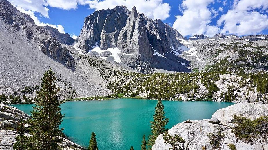
Description: This is a 2-night backpacking trip. It's on a weekday. But if you can take off from work to do it, it's highly recommended. There are two trailheads to do this hike. One is at the "Big Pine Creek Overnight Parking." And the other is at the "Big Pine Creek Trailhead," which is at […]
Scroll down to rsvp Details This one us my classic "Sea to Mesa Peak" hike Many hiking groups promise to take you to Mesa Peak but they never do. That's because they have confused their peaks and take you to the wrong one. So come along with us to the real Mesa Peak! […]
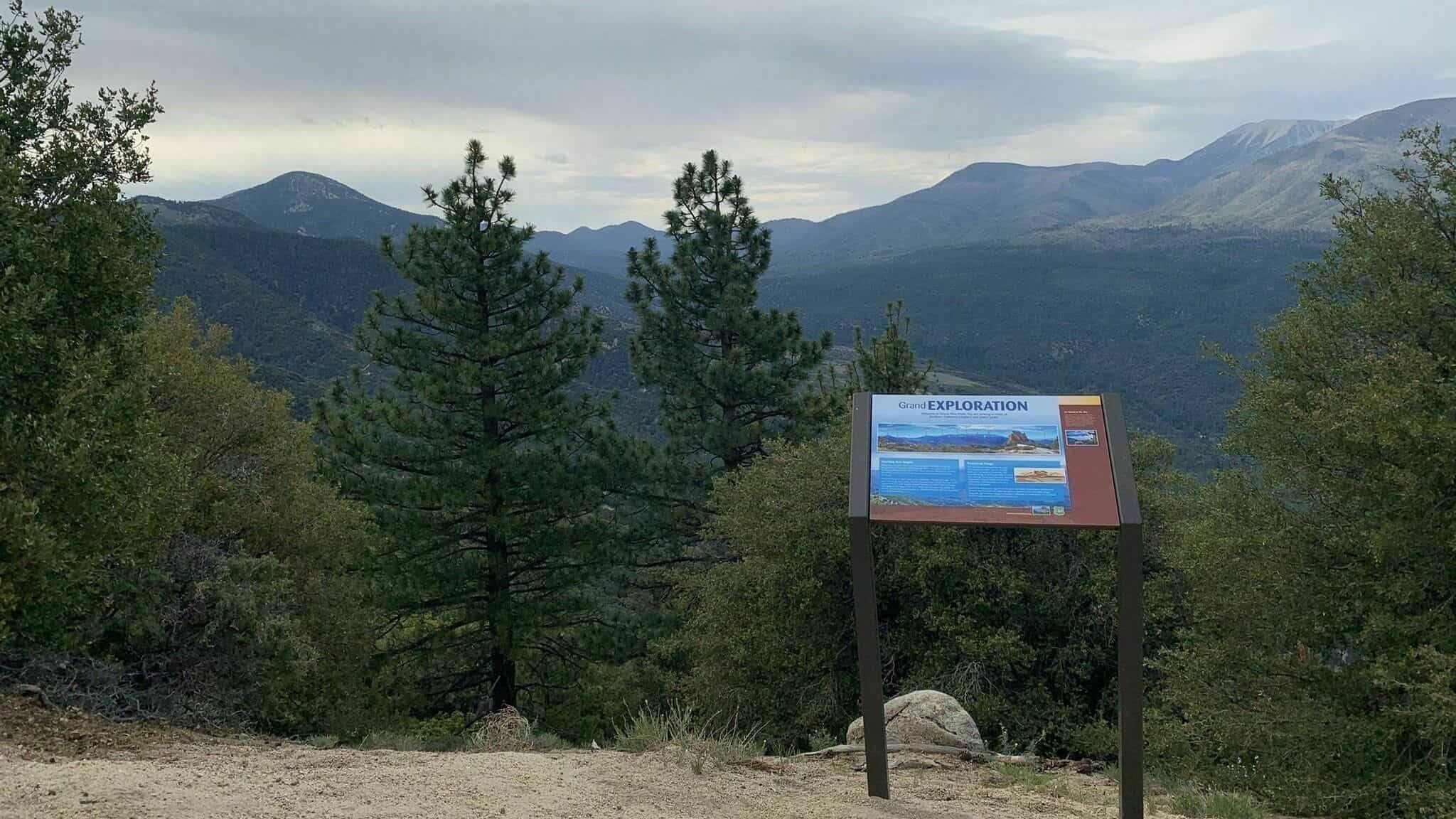
A VERY SHADY TRAIL AND KAYAKING TO BEAT THE HEAT Join me and some WWW members if you would like to spend all day at Big Bear Lake with us experiencing the fun that our Wednesday events offer. We'll start out with a 7 mile In and Out hike to Grand View Point via the […]
Welcome back!THIS A CONDITIONING HIKE! Our group hikes at a minimum of 2.5 miles per hour. You must be able to keep up with the group. Please sign up for this conditioning hike only if you can do this. Use the directions to the trailhead as described below. Bring a flashlight or headlamp. You must […]
4 miles, Gain: 500'.This is a beginner (https://www.meetup.com/Hiking-Plus/messages/boards/thread/50879781) hike on the beautiful Limekiln trail. The hike starts at the trail head near the Tampa exit on I-118, just 3 miles east of the Topanga Canyon exit. I haven't done this route since the fire in Oct 2019, so we'll see how this changes our route […]
Join me on one of CDH's easier hikes as we start to build up our muscles for more challenging hikes in the future. I will be walking at a slow pace with many breaks along a paved Paseo winding its way along Madea Creek in Oak Park. This pathway is known as The Madea Creek […]
Let's beat the heat! This is a short trail but the first two miles are very steep. We'll take a short snack break at one of the towers, enjoy the view then head back down. Distance: <6 miles Elevation Gain: 1,508' Trail: Single track, firebreak, fire road, loop, mostly exposed Level: Not for beginners, will […]
Join our Facebook group at https://www.facebook.com/groups/hikingwithdean/ I'm timing this hike with the opening of Spruzzo Restaurant in Pacific Palisades. Date may change accordingly. We begin the hike by traveling south along Santa Ynez Creek, climb a steep ridge to E. Topanga Fireroad, skirt Trippet ranch and return via a descent down into Santa Ynez Canyon. […]
Let's start the long weekend with this fun potluck hike! Please bringFood and drink to shareYour own cup, plate and utensilsWaterGreat spirit! 4.5 mile 650' elevation gain We'll start the hike at the Avenida de Las Flores Trailhead.From the trailhead we'll take a left and head east for 1/3 mile up a gentle slope which […]
This will be our fourth 4th of July event and potluck celebration. It is well away from any traffic jams and other holiday nuisances. Difficulty: Fit Beginner (https://www.meetup.com/Hiking-Plus/messages/boards/thread/50879781) Note: The address above is where we will meet. This hike is will take us part way up the Hummingbird trail to a flat rock that is […]
Trail statistics are approximate. For safety purposes always assume they are underestimated. But don’t be disappointed if they are overestimated. Bring more water and snacks than you think you’ll need.
Trail descriptions are based on previous hikes. Current conditions are unknown until arrival. Expect the unexpected and plan accordingly.
The Organizers and members of Hiking With Dean are not professional leaders, guides, or mountaineers. The function of the member or organizer is only to organize the trip. Each person who shows up for a trip/meetup (and their guest or guests) is responsible for his or her own safety. By attending a hike, or any other event organized by this group, you are acknowledging that you and any guests that you bring are aware of the risks, dangers and hazards associated with the activity and freely accept and fully assume all such risks, dangers and hazards, and further agree to release and discharge the Organizers, Members of the Hiking With Dean Meetup Group from and against any and all liability arising from your participation in the group activities per our ASSUMPTION OF RISK AND LIABILITY WAIVER and Section 6.2 of the Meetup.com Terms of Service.


















Recent Comments