Site Search

Hiking Calendar

Devils Chair Trail

Devil's Punchbowl Natural Area 28000 Devils Punchbowl Rd, Pearblossom, CA, US

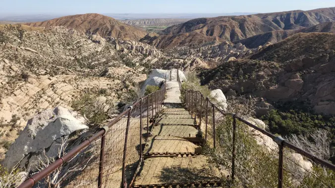
https://www.alltrails.com/trail/us/california/devils-chair-trail Hello Fellow Hikers, It's Halloween! What better hike to do then Devils Chair?! This trail is a fan favorite among hikers but unfortunately was devastated in the Bobcat fire […]

Long Canyon – Hidden Lollipop – Intermediate

Long Canyon Trailhead Parking Lot 597 Shadow Ln,, Simi Valley, CA, US

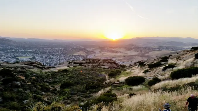
Intermediate, 5 mi, 1200' gain The address is a nearby address that may cause your GPS to drive past the trailhead. It is not the address of the hike. This […]

Free Webinar on Hiking Safety and Technology

Online event

Use the Eventbrite link to reserve your spot. Join experts from Montrose Search & Rescue (SAR) and Sierra Club's Wilderness Travel Course (WTC) for a discussion on how technology has […]

Hill Canyon – Hawk Lollipop – Easy Intermediate, beginner option

Hill Canyon Trailhead 10241 Hill Canyon Road, Camarillo, CA, US

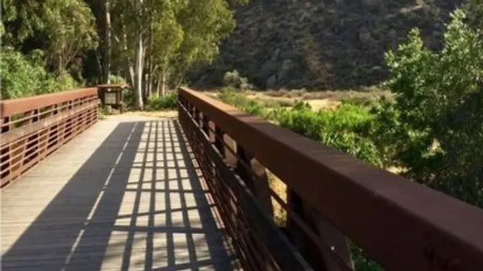
5.3 miles, 600' gain, Easy-Intermediate 2.5 miles, 100' gain, Beginner We start by crossing a bridge into a wooded area and continue down a relatively flat path alongside a stream. […]

Wilderness Access Day – Black Star Canyon

Baker Canyon Staging Area Silverado, CA, US

Let's enjoy another Open Access Day! This is where we get to explore trails that are normally closed off to the public. The plan is to a loop that's 3.5 […]

Hike with Beach Party and Fire

Point Mugu State Park/ Sycamore Cove Beach 9000 Pacific Coast Hwy, Malibu, CA, US

It's another beach party! 2.7 miles, 650' gain. Note: GPS has taken people to the incorrect location. Please read the written directions. A hike, then a potluck party on the […]

FREE: Navigation Series (2 of 3)

Alta Laguna Park 3299 Alta Laguna Blvd, Laguna Beach, CA, US

All about Topo Maps Maximize your understanding of the data points in the margins, identify natural and man-made features, learn about contour lines, gullies, ridges, peaks, and more. Wilderness Travel […]

[asa2_collection tpl=”Flex_1″ orderby=”rand” limit=”4″]2[/asa2_collection]

Trail statistics are approximate. For safety purposes always assume they are underestimated. But don’t be disappointed if they are overestimated. Bring more water and snacks than you think you’ll need.

Trail descriptions are based on previous hikes. Current conditions are unknown until arrival. Expect the unexpected and plan accordingly.

The Organizers and members of Hiking With Dean are not professional leaders, guides, or mountaineers. The function of the member or organizer is only to organize the trip. Each person who shows up for a trip/meetup (and their guest or guests) is responsible for his or her own safety. By attending a hike, or any other event organized by this group, you are acknowledging that you and any guests that you bring are aware of the risks, dangers and hazards associated with the activity and freely accept and fully assume all such risks, dangers and hazards, and further agree to release and discharge the Organizers, Members of the Hiking With Dean Meetup Group from and against any and all liability arising from your participation in the group activities per our ASSUMPTION OF RISK AND LIABILITY WAIVER and Section 6.2 of the Meetup.com Terms of Service.