Site Search

Valencia Hiking Crew

Las Llajas Canyon Loop

Las Llajas Canyon Trail 5715 Evening Sky Dr, Simi Valley, CA, US

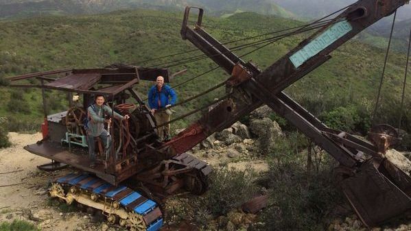
It looks like we can once again make a nice 10 mile loop up Las Llajas Canyon. We'll pass by some of the first oil wells drilled in California in the early 1900's and take a break at the 1920's excavator left behind from the Coquina Mine. STATS Distance: 10+ mi Elevation Gain: 2,200 ft […]

The scenic route to Mt. Baden-Powell from Dawson Saddle and Return

Dawson Saddle Angeles Crest Hwy., Big Pines, CA, US

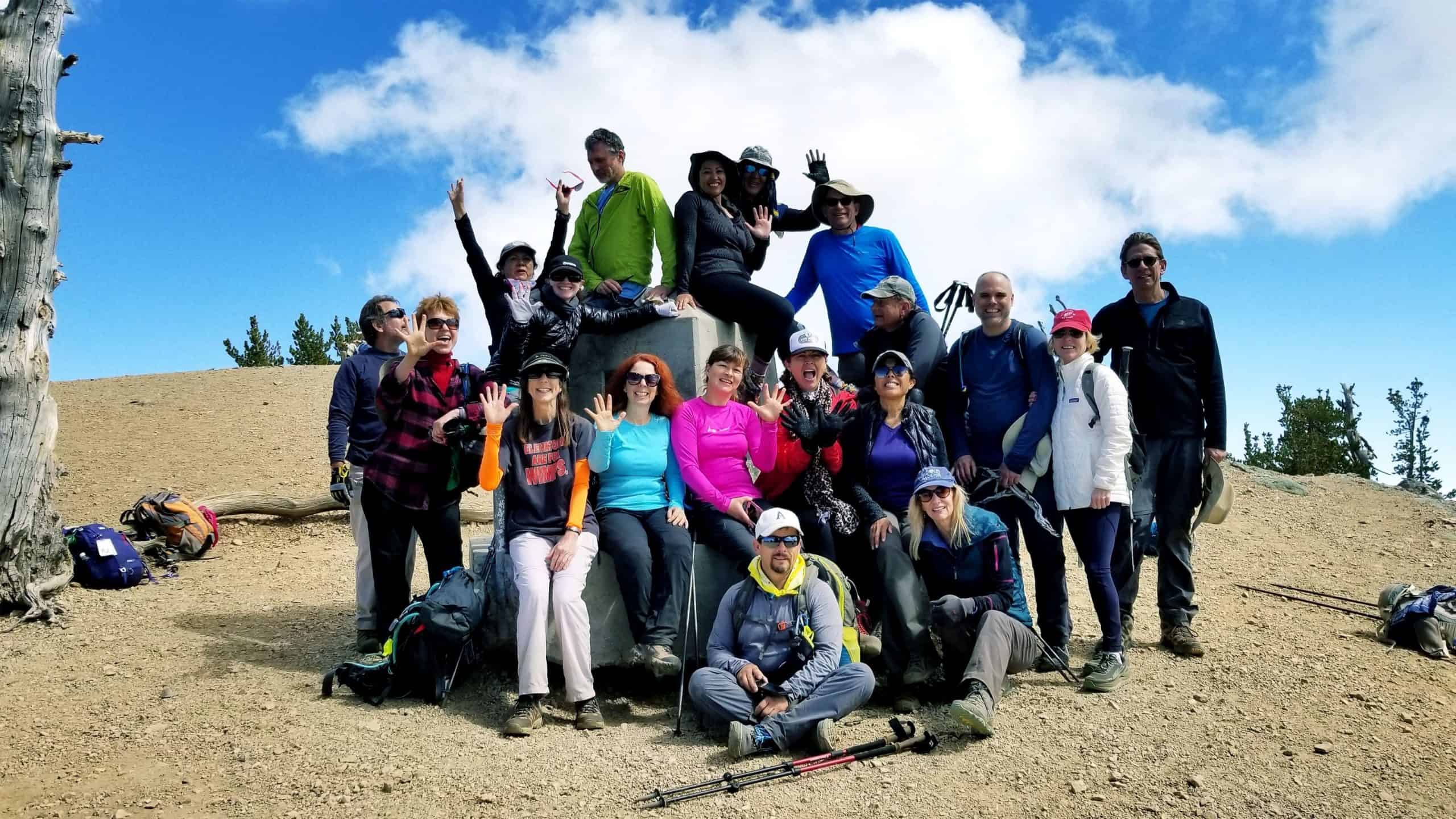
Our route takes us up the Dawson saddle and connects with the PCT just east of Throop Peak. From there we proceed east on a steady grade on the PCT passing Mt. Burham and then up and onto Mt. Baden Powell. At the top we will plan on having a snack, signing the register and […]

Turkey Day Hike: Inspiration Point via Echo Mountain, Castle Canyon and Return

Echo Mountain trailhead Intersection of E Loma Alta Drive and Lake Ave, Altadena, CA, US

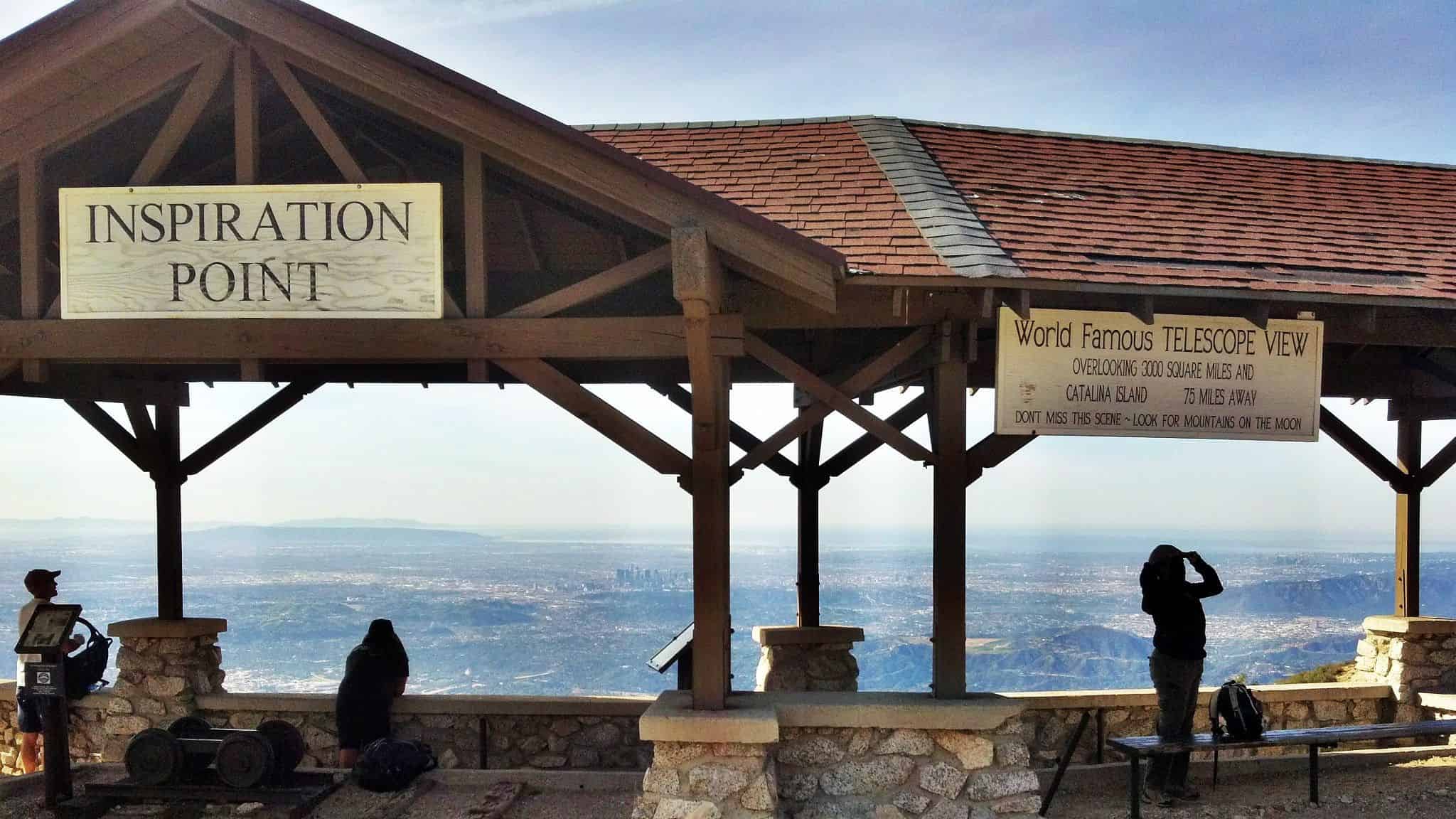
Distance: 9 miles round trip Level: 8/10 Moderate to strenuous, not for beginners Elevation gain: 3000 ft. The Hike:Hike up the Sam Merrill Trail at the north end of Lake Street which ends at Loma Alta in Pasadena first to Echo Mountain, and then up to Inspiration Point via the Castle Canyon Trail and return. […]

Don’s Rocky IV Turkey Trot

http://maps.google.com/maps?q=34.257052,-118.614681&hl=en&num=1&t=h&vpsrc=0&z=18 10267 Larwin Ave., Chatsworth, CA, US

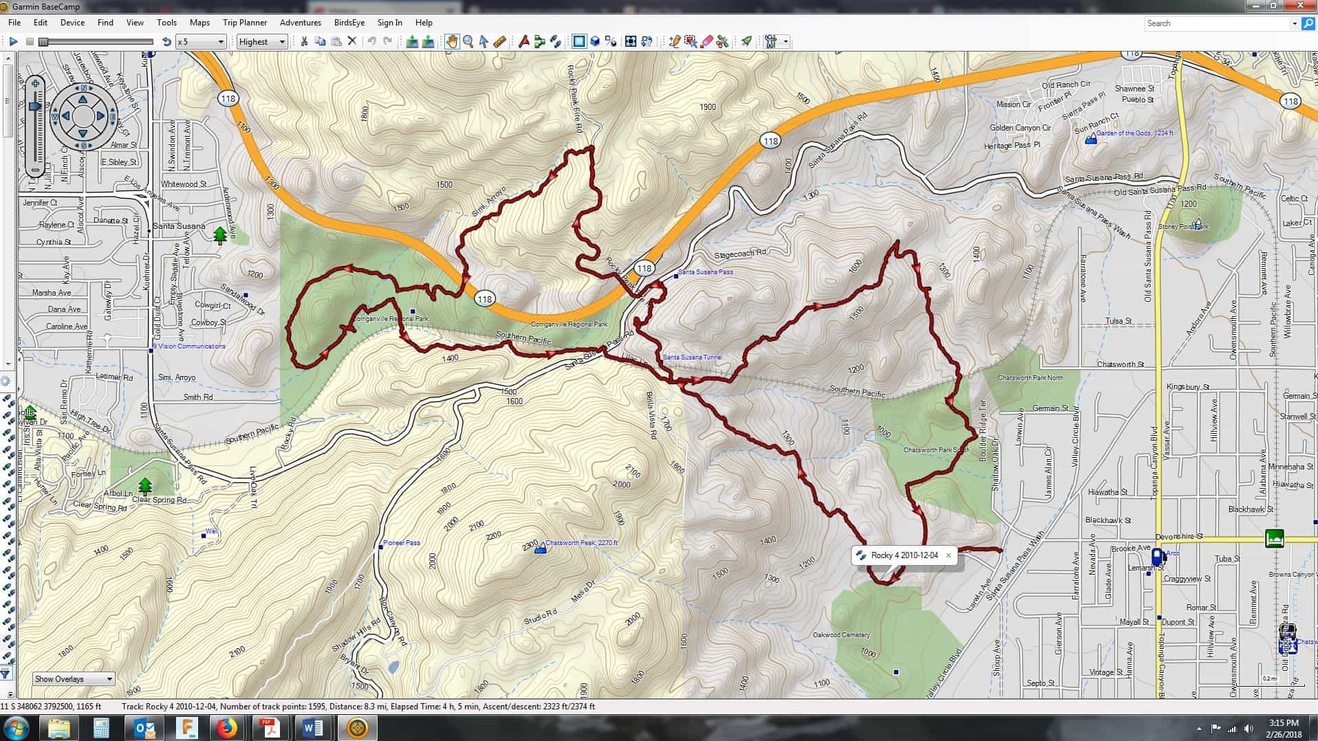
Want to walk off some of that Thanksgiving feast and not deal with the shopping mall crowds? Then let's do our annual after Thanksgiving Day Don's Rocky IV Not the Movie. This is about a five hour hike, so we should be back to our cars by 2:00pm or thereabouts. Distance: 9 miles Dual Rating: […]

Mt. Hillyer from Chilao Flat Visitor Center

Chilao Visitor Center 1 Moccasin Trail, Palmdale, CA, US

This is a short, but very sweet hike with lots of eye candy including fall colors, impressive boulder outcroppings and interesting historical significance. I am open to extending the distance in any direction to add more mileage (as an out and back), but due to trailhead closures still in effect, we cannot make this a […]

Inspiring & Challenging Steep Moonlight Hike: Mission Peak Loop in Granada Hills

18000 Sesnon Blvd 18000 Sesnon Blvd, Granada Hills, CA, US

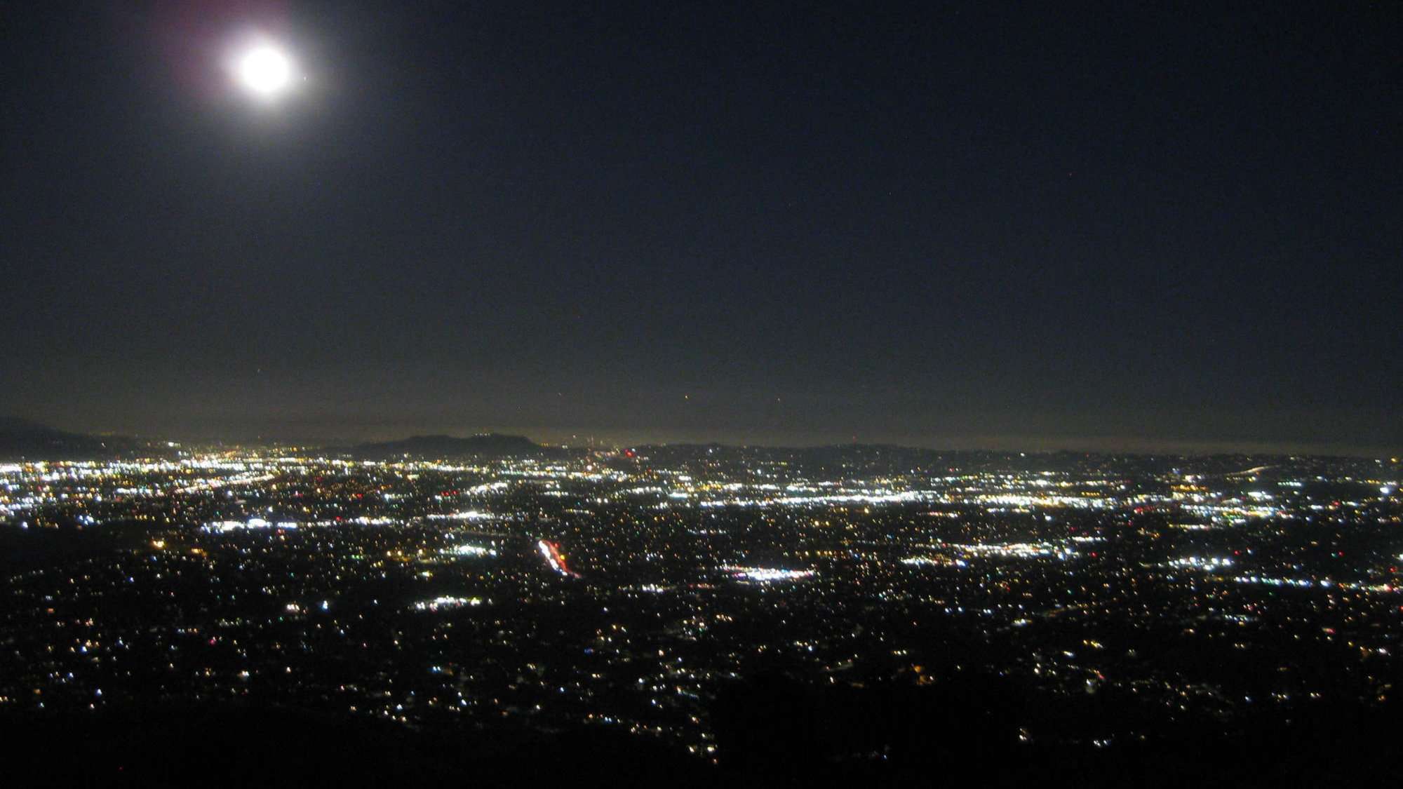
STATSDifficulty: 4/10, Steep up & down, with some slippery spotsLength: 3 miles, 2 hours plus breaksElevation Gain & Loss: 1225’; Peak: 2700’View: Amazing 360 View of Valleys and MountainsDetails: This hike has some STEEP moments but has a bench at the top to relax on. We made a new uphill trail, which is not on […]

Boney Peak (Tri Peak Optional)

Boney Mountain 4126 Potrero Rd., Newbury Park, CA, US

Stats: Distance: 9-10 miles, 5-7 hours Elevation Gain: 2700 ft. Rating: Moderate 8/10 Not for beginners, no sweeper! Trail: Looped, will be on mostly rocky and regular trails with a very short stretch of pavement. WARNING: There will be some short stretches of steep uphill climbs where some might feel more comfortable on their hands […]

Inspiring & Challenging Steep Moonlight Hike: Mission Peak Loop in Granada Hills

18000 Sesnon Blvd 18000 Sesnon Blvd, Granada Hills, CA, US

STATSDifficulty: 4/10, Steep up & down, with some slippery spotsLength: 3 miles, 2 hours plus breaksElevation Gain & Loss: 1225’; Peak: 2700’View: Amazing 360 View of Valleys and MountainsDetails: This hike has some STEEP moments but has a bench at the top to relax on. We made a new uphill trail, which is not on […]

The Mt. Lukens Loop

Deukmejian Wilderness Park 3429 Markridge Rd, La Crescenta, CA

Distance: 9.5 MilesElevation Gain: 2800 ft.Trail: Single track, fire road, uneven downhills.Rating: 8/10, due to trail conditionPace: Intermediate to advanced Not for beginners-there won't be a sweeper!! The Plan StoryNot many small- or medium-sized cities can boast three mountain ranges within its border, but Glendale does. Stretching east and north from the San Fernando Valley, […]


Trail statistics are approximate. For safety purposes always assume they are underestimated. But don’t be disappointed if they are overestimated. Bring more water and snacks than you think you’ll need.

Trail descriptions are based on previous hikes. Current conditions are unknown until arrival. Expect the unexpected and plan accordingly.

The Organizers and members of Hiking With Dean are not professional leaders, guides, or mountaineers. The function of the member or organizer is only to organize the trip. Each person who shows up for a trip/meetup (and their guest or guests) is responsible for his or her own safety. By attending a hike, or any other event organized by this group, you are acknowledging that you and any guests that you bring are aware of the risks, dangers and hazards associated with the activity and freely accept and fully assume all such risks, dangers and hazards, and further agree to release and discharge the Organizers, Members of the Hiking With Dean Meetup Group from and against any and all liability arising from your participation in the group activities per our ASSUMPTION OF RISK AND LIABILITY WAIVER and Section 6.2 of the Meetup.com Terms of Service.