

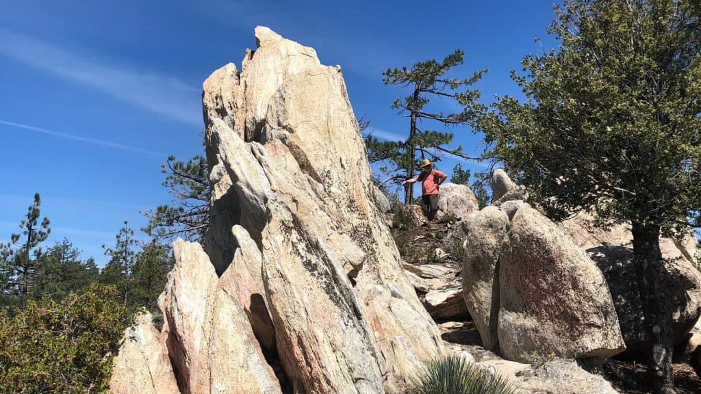
This is a short, but very sweet hike with lots of eye candy including fall colors, impressive boulder outcroppings and interesting historical significance. I am open to extending the distance in any direction to add more mileage (as an out and back), but due to trailhead closures still in effect, we cannot make this a true shuttle hike to and from Three Points or Devils Canyon Trailhead which are both still closed, per Angeles Forest Order.
Chilao Visitor Center to Silver Moccasin Trail (.5 mile)
Silver Moccasin Trail to Horse Flats Campground (1 mile)
Horse Flats Campground to Mt. Hillyer via Mt. Hillyer Trail (2.5 miles)
Return the same route.
DISTANCE: ~6 miles
ELEVATION GAIN: ~1,100′
PARKING: If parking anyplace other than the Visitor Center, a National Forest Adventure Pass is required to be displayed on vehicles parked while visitors are hiking.
Directions: From I-210 in La Canada, take the Angeles Crest Highway (route 2) northeast for 26 miles to the turnout for the Chilao Flat Visitor Center (not to be confused with the turnout for the Chilao Campground, which comes earlier if you’re coming from L.A.) Turn left and park at the Visitor Center, as the parking at the Silver Moccasin trailhead is very limited.
HISTORY: Named for Mary Hillyer (ca.1865-1933), described by Robinson as “a competent and much beloved clerk” who worked during the 1920’s in the office of William V. Mendenhall, the Angeles National Forest Supervisor (1929-57). Nevertheless, it has often been argued that this summit might have been more appropriately titled after one of its early residents. This area was once deep in the forest and is rich in lore. The main Gabrieleño cross-mountain trail passed by this peak, however Indian names for this area are long forgotten. It was criscrossed by bandidos during the wide-open years when Los Angeles was busy earning the title of “Murder Capitol of America”. About this time, the first known dweller near “Hillyer” was the romantic and self-described “caballero” Tiburcio Vasquez (1835-75) who made the eastern slopes of this peak his mountain headquarters. Deeply resenting the results of the Mexican American War, he considered himself a guerrilla freedom-fighter who wouldn’t admit defeat. He boasted no jail could hold him (probably because he had a girl in every hamlet and they usually came to his rescue) but eventually he was convicted and hung for being a notorious horse thief. Vasquez Rocks, and Vasquez Canyon are also named for him. “Horse Flats” below the summit of “Hillyer” is so named because Vasquez often pastured his herds there.
Jose Gonzales, one of his vaqueros, was very handy with a knife. But when he dispatched a bear with one, his amazed pals nicknamed him “Chillia”which refers to “chili pepper”, and could translate as “hot, stuff”.
In close proximity to Mt. Hillyer, the first American pioneer to settle the forest was Lewis Newcomb (ca.1860-1950). He settled here in 1890, and began a solitary life as one of the most well-known and knowledgeable of local mountain men. He homesteaded a quarter-section, and because of his intimate knowledge of these mountains was appointed as one of the first Forest Ranger’s in the newly created San Gabriel Timberland Reserve (1898). He was involved in the construction of many structures both for friends and for the Forest Service. He built the nation’s first Ranger Station at West Fork (1900) as well as the one at Pine (now Charlton) Flat (1902) where he served for many years. He is responsible for both blazing many mountain trails such as the one down “Shortcut Canyon” and over the east slope of Mount Wilson to Santa Anita Canyon. In 1910 he built his third log home that is still cited on maps as “Louie’s cabin”. His name also survives in the Newcomb Ranch Inn, and in Newcomb Pass near Mount Wilson. He left the mountain in 1940 because he felt that the new Angeles Crest Highway (which reached here in 1938), had “ruined the place”.
Hope to see you there!


