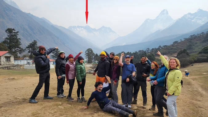
This is definitely a next step if you have done your wilderness training. It embodies adventure and the romance of traveling to far off places. It is also tempered with safety and do-ability. I am a certified WFR and will be traveling with the entire way. The actual dates are Apr 25-May 11, 2025 and […]
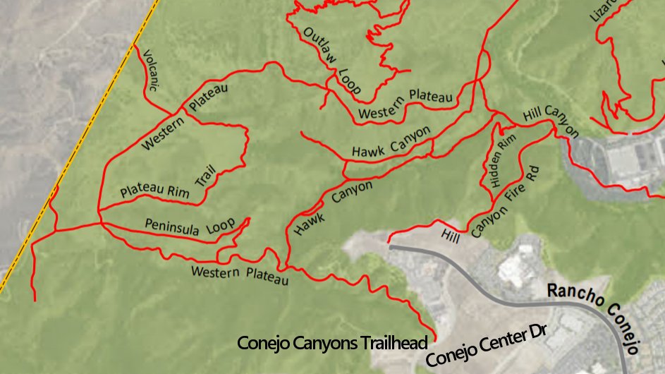
Meet at the Conejo Canyons trailhead next to the Thousand Oaks Recycling Center on Conejo Center Drive, near the end of Rancho Conejo. We'll walk down the fire road to Hawk Canyon and then we will take Hawk Canyon to Five Points. From Five Points, we will take the Western Plateau trail up to intersection […]
This is a second and easier hike for Tuesday. Jaesoon is on vacation. This hike will loop around the periphery of Dos Vientos Open Space, passing Twin Ponds, overlooking Potrero Road and the Oxnard Plain with the Channel Islands in the background. We will cross 3 streets along the way. This hike is about 5.0 […]
Inspired by forests, trees, leaves, roots, and seeds, The Language of Trees: A Rewilding of Literature and Landscape invites readers to discover an unexpected and imaginative language to better read and write the natural world around us and reclaim our relationship with it. In this gorgeously illustrated and deeply thoughtful collection, Katie Holten gifts readers […]
Join us for an exhilarating winter adventure as part of the Wilderness Travel Course series. We will be exploring the beauty of the snow-covered landscapes through snowshoeing in a guided expedition. Learn about winter camping techniques, navigation in snow-covered terrains, and essential survival skills in cold weather environments. This event is perfect for outdoor enthusiasts […]
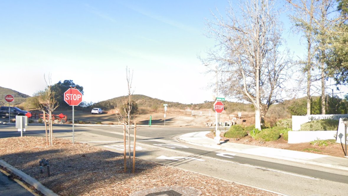
This week we’ll hike about 5 miles with 800' of total elevation gain, spread out nicely, with a little bonus loop through Oak Creek Canyon. "Robles" is Spanish for oaks, and we'll see plenty of them on this beautiful, relaxing hike. After a short street walk to get to the trailhead, we'll hike along Los […]
4 miles, 700' gain, easy-intermediate Easy option: 2.5 miles, 500' gain Parking on the south side of the CA-118 at the Rocky Peak exit. We'll walk west along the Santa Susana Pass Rd. for about 500 feet, and directly across from Lilac Ln, we'll enter a trail. We'll move along a relatively flat section for […]
https://www.californiasurvivaltraining.com/basic-survival-skills-certification-course Local wilderness first aid training and survival techniques My certification is up for renewal so I will be attending either the May 3-5 or June 7-9 event. Feel free to browse the website and select dates that work for you. They always have a Christmas sale like BOGO or half off.
Our fifth Backbone Trail hike in the Santa Monica Mountains will be l0 miles with 2800’ elevation gain on the BBT going from the Tapia Park area to the Latigo Canyon Trailhead. We will take the Mesa Peak Trail though the upper Corral and Solstice Canyon areas. Bring water, snacks, sunscreen, and a good attitude. […]
This hike will be about 7 miles total with 1200 ft. of elevation gain. We are starting at the parking lot at the Wahoo's parking lot. We will take Live Oak Trail. This turns into Serrano Road which will take us to Serrano Cow Trail. At this part of the trail, we usually see a […]
DESCRIPTION: This is a enjoyable hike along the beach and bluffs. Our hike starts at Viola Fields in Carpinteria. The trail takes us to Rincon Beach. Along the way we pass great views of the Pacific Ocean shore line. We descend down to the shore and enjoy a ocean breeze as we walk on the […]
Our sixth Backbone Trail hike will be 7 miles with 700’ gain on the BBT through Newton, Zuma, and Trancas Canyons. We will start at the Latigo Canyon Trailhead taking the Backbone Trail across Kanan Road then taking the Zuma Canyon Trail over to Encinal Canyon. Bring water, snacks, sunscreen, and a good attitude. Rain, […]
This hike will be at Crystal Cove State Park. We will be doing part of the Moro Canyon trails. This hike will be about 6.6 miles with approximately 1,000 ft. of elevation gain. We are beginning at the Ridge Park Entrance (see the map for exact details on where to go.) This hike will take […]
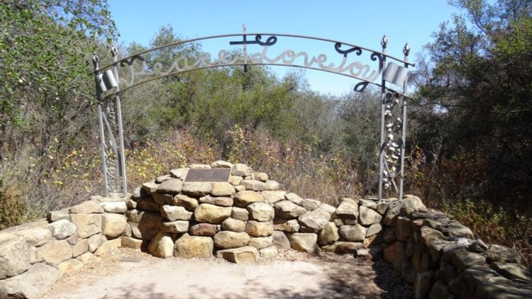
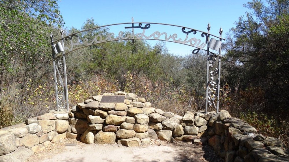
6.5 miles, 1300' gain, intermediate This hike is longer and harder than our regular hikes. We start at 3:00PM to make the most of the sunlight time. Beautiful spring is here! Let's enjoy hiking to the Danielson Monument in the Boney Mountain Wilderness, potluck, and "Peace, Love and Joy"! Please bring food and drinks to […]
Join us on an out and back hike up the Ray Miller Trail and the Overlook Trail. We’ll enjoy beautiful ocean views as we descend. We'll pick up about 1300’ gain on this 7-8 mile adventure. Lying along the brilliant blue Pacific Ocean at the west end of Malibu (just shy of Port Hueneme), the […]
HIKE DETAILS: This hike will go from the beach up to the picnic table on the fire road, approximately 5.5 miles. Most of the hike is exposed but hopefully we will have May Gray and it will be cloudy. No dogs. We will meet in the Day Use parking lot at Sycamore Canyon Campground. We […]
Easy Intermediate, 4 miles, 900' gain The address given, is not the address of the hike. It is a nearby address that may cause your GPS to drive past the trailhead. This is an upside down lollipop that takes us first to the highest point in the area where the views are fantastic. The return […]
Since our visit here in March, the hills above Calabasas have become lush, brilliant green, and bright yellow with mustard, benefitting from the recent rains. This out-and-back hike offers a little-used access route to Cheseboro Ridge, which runs above our typical Sheep Corral hike. A combination of graded gravel and single-track trail ascends steadily to […]
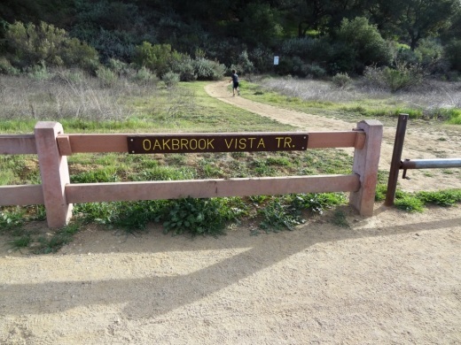
This is the second hike for Thursday. We will go a bit slower. It's supposed to warm up on Thursday. If it does get too hot, we may cut the hike short, as it is an in/out. What we'll do: Hike Oakbrook Vista trail to the crest of the ridge. Go left on the Sandstone […]
5 miles, 500' gain, Beginner This hike is a great trail for beginners because all the elevation gain is distributed. It is a walk down a rolling fire road through a really cool canyon, and you will find no difficult or extended elevation climbs. This is one of my favorite trails for people new to […]
Cucamonga Peak day hike Assuming there are no more fires that burn down the local forests this is a long day hike. This hike will be rescheduled to Sunday, June 22 if there is snow or ice past the saddle. Meet at 7:00 am at the Icehouse Canyon parking lot. The lot always gets full […]
Hike #5 in the 2025 Saturdays in the Santa Monica Mountains series is a strenuous hike of about 11 miles with 2500 gain to Red Rock Canyon with a side trip to Calabasas Peak on the way and lunch at Zuniga Pond, one of the more beautiful settings in the Santa Monica Mountains. Bring water, […]
Hike #5 in the 205 Saturday in the Santa Monica Mountains series is a moderate 10-mile, 2000’ gain out and bqck hike along the Secret Trail to Calabasas Peak before heading into Red Rock Canyon and Zuniga Pond. Meet at 8:00 AM at the Oak Ridge Trail - Calabasas Peak Mountain Access (used to be […]
3.0 miles, 800' gain, easy-intermediate. Moonrise 7:17 pm Photo by Helen Big appreciation and hugs to all the mother figures. All the love and support you pour into someone will shine as the beautiful full moon for the rest of their lives. Let's enjoy the gorgeous sunset, full moon, and fun loaded potluck picnic at […]
The hike starts at the parking area on Hill Canyon Road and climbs Canyon Overlook Trail. The trail is a utility road and becomes a ridgeline trail with spectacular views into Hill Canyon and to Elliott Peak to the west, and Mt Clef Butte to the east, ending at Lizard Rock with its own amazing […]
This out-and-back hike on the Backbone Trail is about 8 miles with about 1,550' of total elevation gain. The hike starts and ends at our usual trailhead for the Encinal Canyon hike. We'll cross the road, descend into a shaded single-track trail with a couple of lovely small water crossings, then ascend until we get […]
Fit Beginner - 4 miles, 600' gain The gain is well distributed, with half being on the return. We start at the Las Flores trailhead where Las Flores dead-ends at Wildwood Park, and head west. After 1/3 mile, the trail becomes Wildwood Canyon Trail. We continue for another 2/3 mile and cross a bridge just […]
FREE HIKING CLINIC-SPORTS BASEMENT LONG BEACH 2100 N Bellflower Blvd, Long Beach, CA 90815 Let's talk trails in the LA Area! Reconnect with Nature & Feel the Joy of Hiking Curious about where to hike around Los Angeles right now-especially after the fires? Wondering how to get started or rediscover your trail legs? Whether you're […]
This will probably be the last day we can do this hike until winter because it is getting hotter. There is a new restaurant in Oak View for lunch, Noa's. This hike goes up Sulpher Road through petroleum-scented oak forest, through the cattle grazing ranch land at the top to the overlook above the town […]
4 miles, 950' gain, Intermediate 2 miles, 550', Fit Beginner This will be our 1000th meetup event since the group started. We have such a great bunch of people that attend these hikes! This is a modified version of the famous Rocky Peak hike. It gives those that want something easier, a chance to climb […]
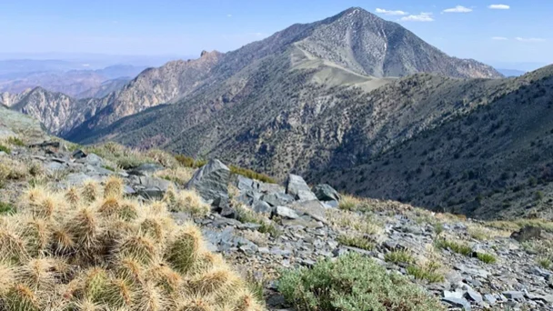
Tentative trip: Trip will depend on road access Road is currently under repair until the end of march Add yourself to the waitlist. Once i know that the road is accessible i will add you. 5/16 Friday-drive to Mahogany Flat campground 5/17 Saturday-day hike Telescope Peak 5/18 Sunday-head home Hike area details: https://www.nps.gov/deva/planyourvisit/telescope-peak.htm Must high […]
DETAILS: · Hike leader volunteer(s): Dave. · Meet: Pothole Trailhead in Angeles National Forest. · Distance: ~ 12,5 Miles total (out and back style) · Elevation gain: ~ 1, 745 · Time: Approximately 6-7 hours hiking including a couple of 15 minute breaks. · Conditioning: You'll need to be in generally good physical condition. · […]
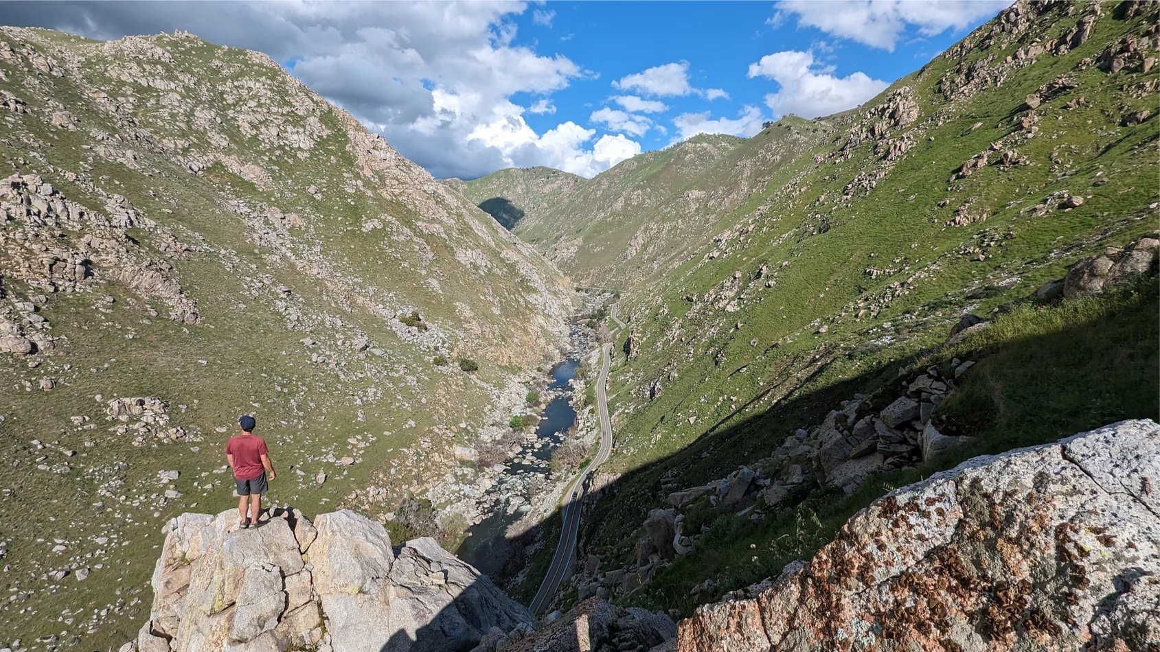
Challenge Hike: The Wild Beauty of the Kern Gateway Trail For experienced hikers only! Join us for an exhilarating trek through one of the most breathtaking and rugged sections of the Kern Gateway Trail. This challenging hike is for those who crave adventure, as we traverse steep inclines, navigate rocky terrain, and take in the […]
This hike will be about 5 miles total with 850 ft. of elevation gain. We are starting at the parking lot at the Wahoo's parking lot. We will take Live Oak Trail. This turns into Serrano Road which will take us to Dreaded Hill. We will take a short break at Four Corners. Then we […]
The hike I am planning is around 6.3 miles with about 700 ft. of elevation gain. It starts at the very end of the paved road, the long gray strip that can be seen on the map. We will begin at the Bell Canyon Trail head. We will continue onto that and then take it […]
3 peaks 2 litter of water 8 miles or so Hike starts at 8am at the trail head However some of us will meet at Smart & Final on white ln at 7am Click on the link for more info of the hike Pinos, Sawmill, and Grouse Mountain via Condor Summit Trail on AllTrails https://www.alltrails.com/trail/us/california/pinos-sawmill-and-grouse-mountain-via-condor-summit-trail?sh=qfndye&utm_medium=trail_share&utm_source=alltrails_virality
4.2 miles, 700' gain, easy-intermediate. Easier option: 2.7 miles, 500' gain, fit beginner. This is a pot-luck hike. We'll be stopping at the 3/4 point by a picnic table, so please bring food and drink to share, and any utensils your items might require. You may wish to bring your own cup, plate, and utensils […]
Please Note 8:30 start time! We will respect the warmer temperatures predicted for the coming week by starting at 8:30 and only going to China Flat instead of Simi Peak (though you're welcome to do so on your own). The hike is a 6.5 mile out & back with 1,500' of elevation gain from Lang […]
NOTE: It will be quite warm on Tuesday and this hike has a lot of trees. We will start at 8:30. We will begin in the parking lot at the end of Moorpark and walk down the street to the Las Padres trail. From there we will loop around and come back to the Moorpark […]
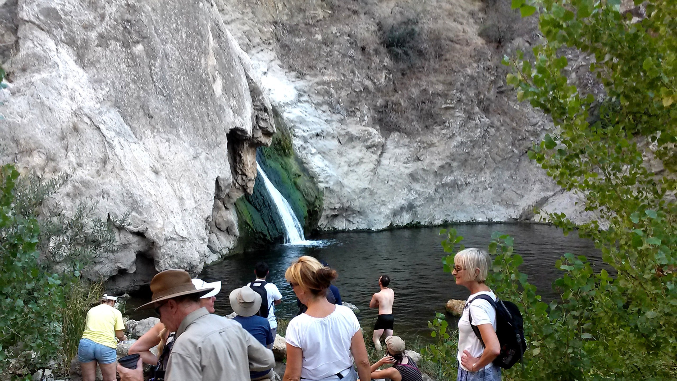
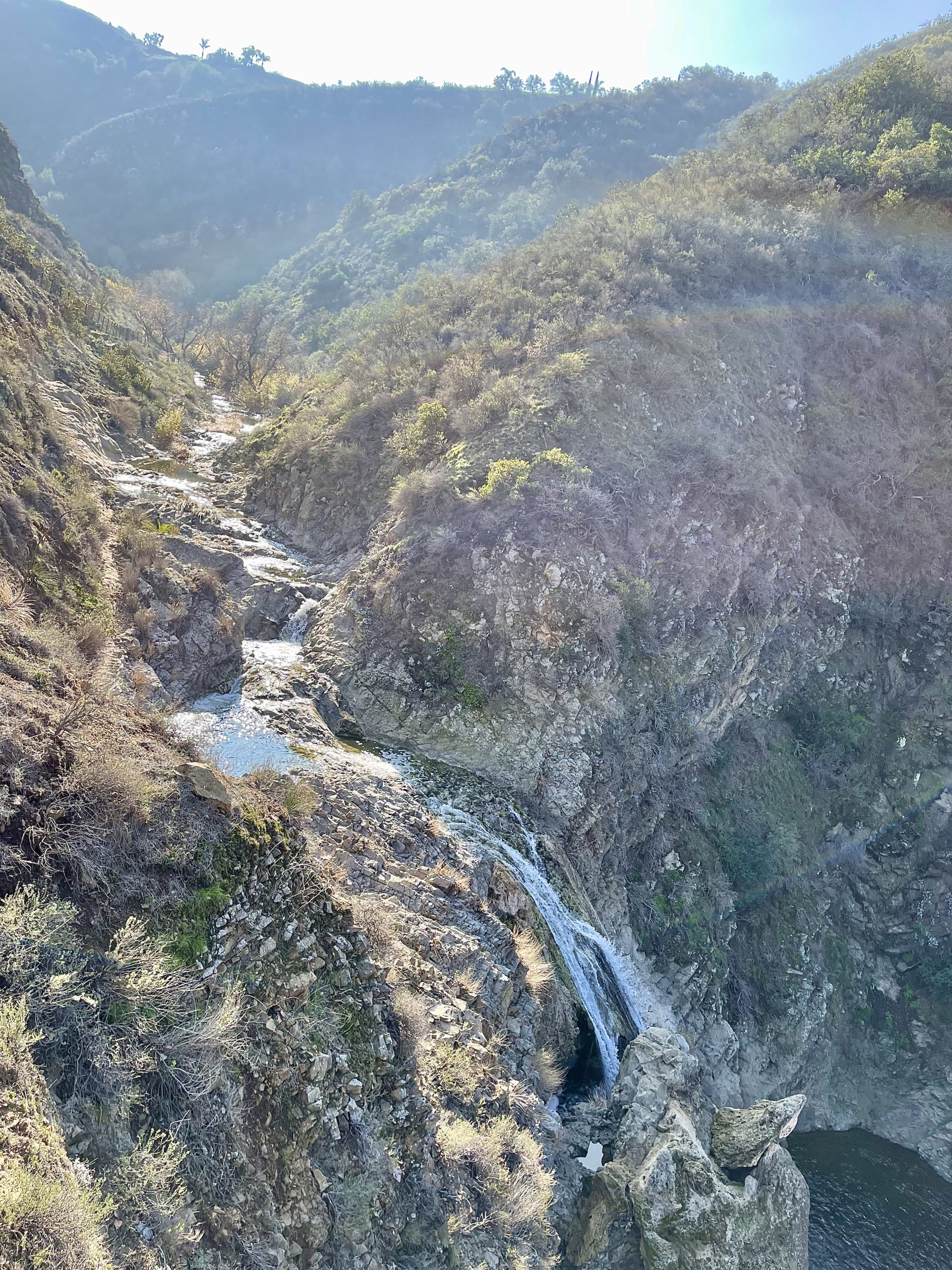
3.5 miles, 650' gain, Fit Beginner A hike to Paradise Falls is one of the most popular things to do when visiting the area, yet a lot of people that live nearby rarely do this fun hike. There are several paths. This route is the easy way to Paradise Falls and suitable for fit beginners. […]
Wondering how to have fun with friends and family this summer without breaking the budget? We got you. Come learn about things to see and do, like: Hidden beaches Easy day hikes Public Gardens Cooking and gardening classes Museums and historic tours Free summer concerts Free summer movies Cultural festivals Art Walks Craft fairs Cars […]
PLEASE READ BELOW IN ITS ENTIRETY. Kindly review the guidelines (link to the guidelines) to join our hikes. Restrictions apply for your attendance. Don't show up unless you're shown on the "Attending" list. Plan on KEEPING UP with the group and completing the entire hike or please find an alternative hike that better suits your […]
Hopefully it will be cooler at the beach and we are starting at 8:30. The trail is an awesome blend of ocean and mountain views in Malibu’s La Jolla Canyon. We will start from the trailhead which follows the canyon eastward, away from the ocean. Then, it quickly brings you back toward the ocean at […]
Easy Intermediate, 4 miles, 900' gain The address given, is not the address of the hike. It is a nearby address that may cause your GPS to drive past the trailhead. This is an upside down lollipop that takes us first to the highest point in the area where the views are fantastic. The return […]
Our seventh Backbone Trail hike in the Santa Monica Mountains is 10 miles with 1400’ elevation gain on the BBT. We will start at the Encinal Canyon trailhead and take the Etz Meloy Trail with views of Triunfo Pass and the Boney Mountains to end at the Mishe Mokwa Trailhead. Bring water, snacks, sunscreen, and […]
This hike is so cool! It's a good distance with little elevation gain and it is beautiful. This hike will take us to the Brown Mountain Dam Waterfall. The hike is an out and back at around 8 miles total with 750 ft. of elevation gain, so not steep! This area of the Angeles National […]
Bear Creek via Sespe River Trail DESCRIPTION: This is a 9-mile out-and-back trail near Ojai, California. Generally considered a moderately challenging route. This trail takes you along the Sespe River and into the beautiful Sespe wilderness, from lush areas to more open, dry stretches, and you'll enjoy beautiful views of the surrounding mountains and valleys. […]
Our eighth Backbone Trail hike in the Santa Monica Mountains will be 17 miles on the BBT on the Sandstone Peak, Chamberlain, Blue Canyon, Wood Canyon, and Ray Miller Trails before finishing the La Jolla Campground. This is a Sierra Club hike, so participants must sign in, carry their medical form, and hike between the […]
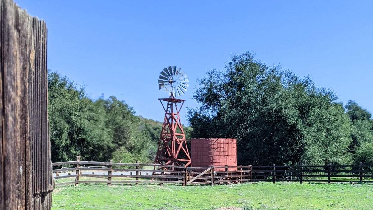
5.0 miles, 640' gain, Easy Intermediate Starting at the Wendy trailhead we hike about 1/4 mile and take the left fork up the Windmill Trail, a steep, but short climb (0.1 miles, 100 ft gain). At the top of this steep climb we'll take the right fork down the Wendy-Satwiwa Connector into the grasslands for […]
Picnic and Concert Many of us from this group will attend this event. We'll start picnicing a few hours before the concert. Bring food and drinks to share. If your item requires utensils, please supply them. Please post in the comments, if you can bring a table. Bring blankets and lawn chairs. A variety of […]
5.2 miles, 1140' gain, Intermediate Beginner Option: 3.5 miles, 500' gain, Fit Beginner Come to the hike only (2:30p), picnic only (4:00p), or both. This event has limited space. Those still on the waiting list will be moved to the RSVP list several days before the event, or even the day of the event, if […]
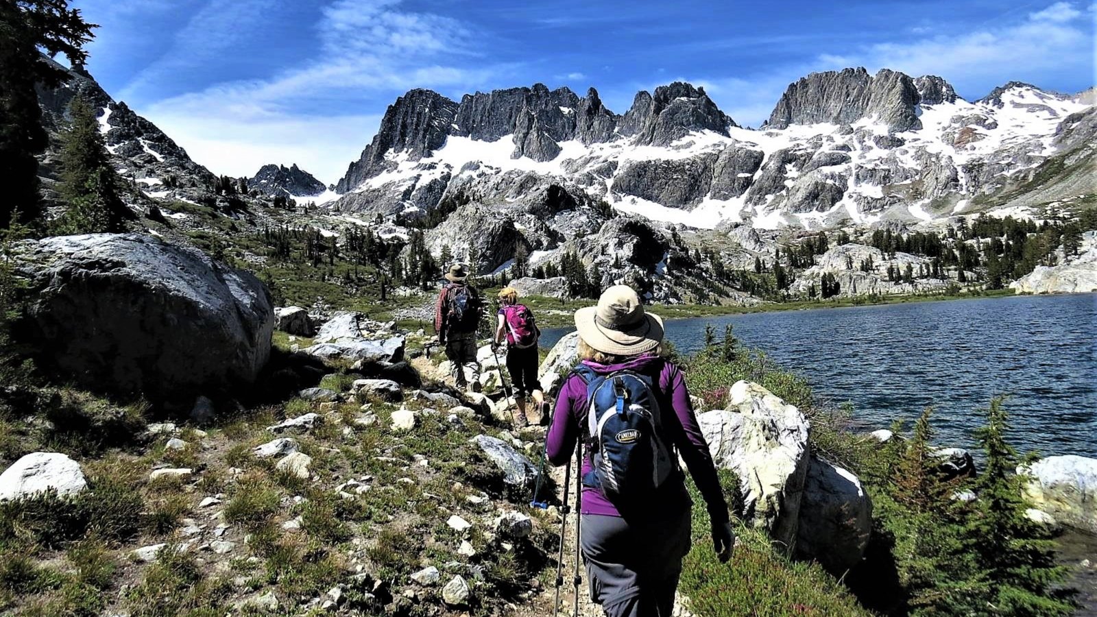
ANSEL ADAMS & MINARETS: Early season hike around the Minarets area. Enter via Red Cones near Mammoth (does not require that the Reds Meadow Road be open). Loop route past Reds Meadow, around Minarets to Garnet and Thousand Island Lakes, option to loop around to Duck Lake. Lots of lakes and streams. 6 people max. […]
We will start our hike near the beginning of Regal Oak Ct. on the lower Rosewood Trail, a dirt trail heading up a shaded ravine at the base of the mountains, and continue to the usual Rosewood trail. Rosewood trail presents a clear view over the 101 Freeway carving up the Conejo Valley. This is […]
Let's head out to the famed Peace, Love, Joy arch at the Danielson. This out and back hike wanders through grasslands and chaparral from the Rancho Sierra Vista trailhead, then climbs up Danielson fire road for some fantastic views north to Port Hueneme and Oxnard and west toward the Pacific Ocean. If it's really clear, […]
http://photos2.meetupstatic.com/photos/event/b/0/e/c/event_80025292.jpeg Since the trail has been redesigned and is now about 8 1/2 miles, we will stop at Ventu Park Road for our break. PLEASE NOTE: Don't show up unless you're shown on the "Attending" list Unregistered or waitlisted will be turned away Make sure you can keep up with the group No "Plus Ones" […]
Note 8:30am start time! This hike will loop around the periphery of Dos Vientos Open Space, passing Twin Ponds, overlooking Potrero Road and the Oxnard Plain with the Channel Islands in the background. We will cross 3 streets along the way. This hike is about 6.0 miles with 1,000 feet of elevation gain. Pace: This […]
Note 8:30am start time! This hike will loop around the periphery of Dos Vientos Open Space, passing Twin Ponds, overlooking Potrero Road and the Oxnard Plain with the Channel Islands in the background. We will cross 3 streets along the way. This hike is about 5.0 miles with 800 feet of elevation gain. Pace: This […]
4.75 miles, 700' gain, easy-intermediate Option for 3 miles, 300' gain, easy. This is a link to the route: LINK We start with a 1/4 mile walk from where we park along Cottonwood Dr, to the trail head. There we make a left and take a relatively flat section and hike for about 3/4 mile. […]
A new old west is rising! Let's check out the rebuilding progress of the famous Old Western Town at Paramount Ranch with this easy hike. 📽️As many of you know, until the Woolsey fire, this was the filming site of hundreds of movies and TV shows since 1927. The Woolsey Fire destroyed the original Western […]
Join us at Sports Basement OC for a fun opportunity to see and test lots of gear demos, take advantage of special offers and attend clinics. One of the clinics will cover the essentials of backpacking. If you're just getting started or thinking about it, or if you have some questions about building your kit, […]
The total distance for this hike is 4.5 miles with about 650 ft. of elevation gain. There are great mountain and ocean views along the ridge. We are going to start on Bommer Ridge Trail and take this to Lizard Trail. We will go down that and loop back up to Bommer via Upper Laurel. […]
Trail statistics are approximate. For safety purposes always assume they are underestimated. But don’t be disappointed if they are overestimated. Bring more water and snacks than you think you’ll need.
Trail descriptions are based on previous hikes. Current conditions are unknown until arrival. Expect the unexpected and plan accordingly.
The Organizers and members of Hiking With Dean are not professional leaders, guides, or mountaineers. The function of the member or organizer is only to organize the trip. Each person who shows up for a trip/meetup (and their guest or guests) is responsible for his or her own safety. By attending a hike, or any other event organized by this group, you are acknowledging that you and any guests that you bring are aware of the risks, dangers and hazards associated with the activity and freely accept and fully assume all such risks, dangers and hazards, and further agree to release and discharge the Organizers, Members of the Hiking With Dean Meetup Group from and against any and all liability arising from your participation in the group activities per our ASSUMPTION OF RISK AND LIABILITY WAIVER and Section 6.2 of the Meetup.com Terms of Service.


















Recent Comments