This is Jerry Schad's Indian Canyon / Borrego Palm Canyon Traverse. Back in 2021 I made this a loop and it may have been a little bit too epic :) (https://www.meetup.com/sandiegobackpackers/events/269364126/?eventOrigin=group_calendar) This trip starts from third crossing. First night camp is Bennis Bowl. If you want to do a nice beginner trip you can join […]
Encinal Canyon is named for encina, the Spanish word for the holm oak, a lovely Mediterranean tree with holly characteristics. Holm oaks are one of the main trees used to establish truffle orchards, but we'll be nosing around the canyon strictly for its beauty. The trail from Encinal is a smooth, firm, and well-traveled single […]
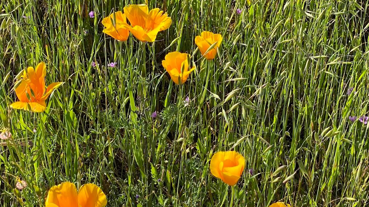
This hike starts at Castillo Trail to Wildwood Park. In the spring, it’s spectacular with an abundance of mustard greens, wildflowers and California poppies in addition to bountiful water in the waterfalls and creeks. Wildwood Park in Thousand Oaks is one of the most versatile local parks with 27 miles of trails skittering through this […]
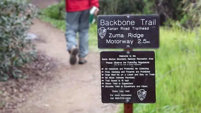
http://photos1.meetupstatic.com/photos/event/b/a/2/4/event_99467652.jpeg From the Kanan Rd trailhead, we'll jump on the Backbone Trail for a cruise down into Newton Canyon. On our way there, we'll cross the creek, pass under an oak canopy, and come out into an opening. At the opening, look toward the sandstone formations in the distance, and we may see a flow […]
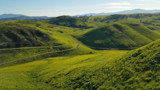
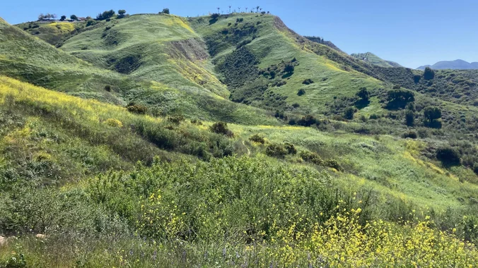
This week we'll head over to the east end of the Conejo Valley for our hike. This is similar to the hike that Steve led a couple of weeks ago, but it has a different starting point at the end of Las Virgenes. The hills are amazingly green right now, so we'll enjoy them again. […]
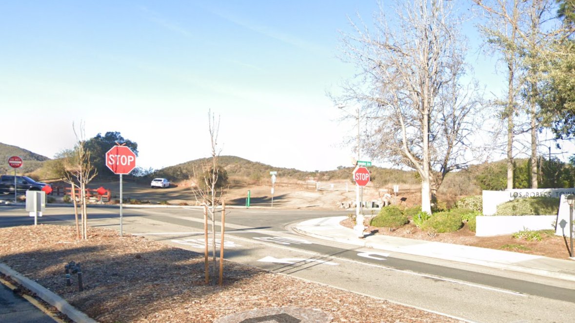
This is a second hike for Thursday. If you decide to switch hikes, be sure to cancel Laurie's hike even if you're on the waitlist. We will meet in the parking lot at the end of S. Moorpark and Greenmeadow Avenue. The hike will head WEST on the Los Robles trail, turning around at the […]
4 miles, 950' gain, Intermediate Easy Option: 1.6 miles, 400' gain, Fit Beginner Hardest option: 5 miles, 1200' gain, Intermediate The entire hike outbound is a steady incline. Nothing super steep, just continuous and quite strenuous for many. There are virtually no junctions where one can get lost. This is one of the more famous […]
The hike will be an out and back, 16.5 miles total with 2,600 ft. of elevation gain. We will start at the Black Star Canyon Trailhead, where we normally start here. We will not be going on the path to the waterfall. We will be going the way that passes the Indian Village Site. We […]
DESCRIPTION: This is a 6.3-mile trail loop near Simi Valley, California. Generally considered a moderately challenging route, it takes an average of 3 hours to complete. Most of the elevation gain occurs between miles 2-3, some segments are very steep. This is partly on a fire road and trail. Our destination is an historic strip-mining […]
Join our Facebook Group - https://www.facebook.com/groups/hikingwithdean/ The trail up Elliot Mountain was built May 2015. The mountain, a bench and the trail are named after Burt Elliot who was very active with Conejo Open Space Conservation Agency. Burt died of cancer in the Spring of 2014. He was the go-to guy for all things Conejo […]
The total distance for this hike is 4.5 miles with about 650 ft. of elevation gain. There are great mountain and ocean views along the ridge. We are going to start on Bommer Ridge Trail and take this to Lizard Trail. We will go down that and loop back up to Bommer via Upper Laurel. […]
Easy-Intermediate, 4 miles, 800' gain. Option not to hike: If for some reason you don't want to hike but still want to come, the social event can be driven to, and the main group of hikers should get there about an hour after we begin: 23601 W Red Rock Rd, Topanga, CA 90290. It costs […]
The trail is an awesome blend of ocean and mountain views in Malibu’s La Jolla Canyon. We will start from the trailhead which follows the canyon eastward, away from the ocean. Then, it quickly brings you back toward the ocean at a gradual incline. There’s a great lookout spot where it gives you a breathtaking […]
Time to go to the beach! And up a long hill, around the pond, and back down the hill. We may even stop at your grandmother's house. Our route will take us from the outer parking lot at Leo Carrillo State Park (just off PCH at Mulholland) all the way up to Nicholas Pond. We'll […]
4 miles, 950' gain, Intermediate Easy Option: 1.6 miles, 400' gain, Fit Beginner Hardest option: 5 miles, 1200' gain, Intermediate The entire hike outbound is a steady incline. Nothing super steep, just continuous and quite strenuous for many. There are virtually no junctions where one can get lost. This is one of the more famous […]
INFORMATIONAL POSTING ONLY Have you ever wanted to learn to backpack and get away from the crowds of people? Learn how to backpack in 3 Saturday courses (4/26, 5/10, 5/17) culminating in a backpack trip on 5/31-6/1 to utilize the techniques you learned. Course times are 10:30 AM-2:30 PM Learn what to take, latest in […]
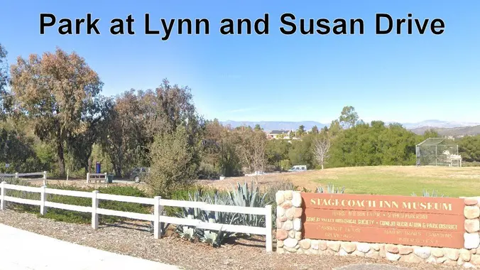
This is a 4-5 mile out-and-back trip from Lynn Road to the Rosewood Trail to Angel Vista. We’ll park at the playfield near Stagecoach Inn and walk from Lynn Road on the lower Rosewood Trail, to the usual trailhead and then on up the trail. The elevation gain/loss is about 875’ - 1000’. It is […]
This is a second hike for Thursday. If you decide to switch hikes, be sure to cancel Laurie's hike even if you're on the waitlist. Some people are having trouble finding the EDIT button to cancel. If you encounter that problem, just cancel in the COMMENTS. This hike is in the same area as last […]
DESCRIPTION: This hike is the first in a new collection of hikes targeted to explore local (or reasonably local) trails that are not necessarily the "shining stars" of local hikes. These hikes may be on lesser trails, or almost no trails at all - even game paths or seldom explored areas. These won't be our […]
Let's conquer Sitton Peak again! This peak is located in the Santa Ana Mountains in the Cleveland National Forest. The total mileage for this hike should be 9.5-10 miles with approximately 2,000' of elevation gain. This will be an out and back. This hike starts on the Bear Canyon Loop Trail, which takes us to […]
This hike will be about 7 miles total with 1200 ft. of elevation gain. We are starting at the parking lot at the Wahoo's parking lot. We will take Live Oak Trail. This turns into Serrano Road which will take us to Serrano Cow Trail. At this part of the trail, we usually see a […]
We are going to be starting at the Canyon View Staging Area. This hike will be about 6.2 miles with around 1,000 ft. of elevation gain. We will be starting at Canyon View Park and taking Cholla up to West Ridge and comic down Mathis. Link to Parking from Google Maps: https://www.google.com/maps/place/Canyon+View+Staging+Area/@33.585273,-117.7465062,17z/data=!3m1!4b1!4m5!3m4!1s0x80dce61b6bd45c2d:0x5ef3f1ad687cc8b5!8m2!3d33.585273!4d-117.7443175 Dogs are not […]
3.0 miles, 800' gain, easy-intermediate. Moonrise 8:25 pm Photo by Helen Let's enjoy the gorgeous sunset, full moon, and fun loaded potluck picnic at the beautiful Angel Vista! This is a potluck hike. Please bring food, drinks to share. If your item requires utensils/plates/toothpicks, etc., please bring them. You may wish to bring your own […]
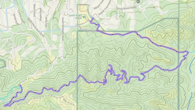
Please note the new location! We'll meet at Lynn Oaks Park in Thousand Oaks, and access Space Mountain through Spring Canyon, a route that our group has never before taken. We'll climb up the Space Mountain switchbacks, and then enjoy a pleasant walk at elevation until we get to the private, gated stretch of Ventu […]
This hike starts at the Hill Canyon Trail and continues to the Lichen Trail via the Western Plateau and Outlaw Trails. At the peak of the ridge that separates the Western Plateau from the Santa Rosa Valley, you'll have amazing views of a beautiful system of deeply eroded canyons, plateaus, and ridgelines in the northwest […]
3 miles, 800' gain, Easy Intermediate. Easy option, 1.4 miles, 450' gain, Fit Beginner The address given is not the address of the hike. It is nearby and may cause you to drive past the trailhead if navigating by GPS. Route From the trailhead parking lot, up for 0.7 mile on Long Canyon Trail to […]
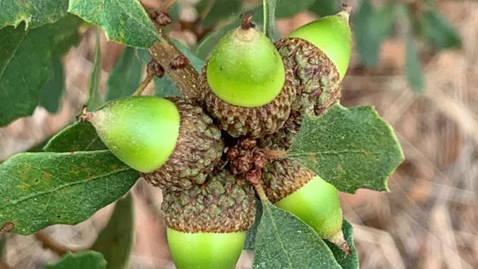
Conejo Open Space Foundation presents the live online presentation of "Oaks in Peril" with Kim Corella, forest pathologist with CAL FIRE. Corella will explain the critical role oaks play as a keystone species and what the arrival of a new invasive beetle, the gold spotted oak borer, could mean for our community. She will teach […]
Palo Comado ("Burnt Stick" in Spanish) tells you a lot about the environs - frequently burned over by wildfires, this was directly in the line of the Woolsey Fire but much of the vegetation has re-grown. This is one of many routes from the Conejo Valley to China Flat. Except for one turn near the […]
This is a second hike for Thursday, in case Peter's hike fills up. This hike will loop around the periphery of Dos Vientos Open Space, passing Twin Ponds, overlooking Potrero Road and the Oxnard Plain with the Channel Islands in the background. We will cross 3 streets along the way. This hike is about 5.0 […]
Intermediate - 3 miles, 1000' gain Easier Option - Fit Beginner, 1.4 miles, 525' gain. This hike is relatively short, but the middle portion is a rugged and continuous incline for 1 mile with about 700' of gain. Even though we'll be taking this trail at the pace of a social hike, beginners may find […]
Our good friend and regular member at so many events, Dylan, is moving out of the area. Come out and dance and give him a great farewell send-off! Many from this group, plus other friends, will attend this event at Sagebrush Cantina. Sidetracs puts on a great show, playing a wide variety of pop, dance, […]
Let's go to Mexico! This is not a backpacking trip. This is a camp-out in Guadalupe Canyon Oasis. You must have a valid passport or passport ID that is not within the window of expiration to participate in this trip. This trip requires caravanning 3, reliable, high clearance 4x4 vehicles and Mexican auto insurance. *** […]
We are going to be starting at the Canyon View Staging Area. This hike will be about 6.2 miles with around 1,000 ft. of elevation gain. We will be starting at Canyon View Park and taking Cholla up to West Ridge and comic down Mathis. Link to Parking from Google Maps: https://www.google.com/maps/place/Canyon+View+Staging+Area/@33.585273,-117.7465062,17z/data=!3m1!4b1!4m5!3m4!1s0x80dce61b6bd45c2d:0x5ef3f1ad687cc8b5!8m2!3d33.585273!4d-117.7443175 Dogs are not […]
Let's hike at the Back Bay in Newport. The plan is to do 4-5 miles. It will be an out and back. A lot of the trail is asphalt. You can wear hiking or running shoes. There is a Upper Newport Back Bay Nature Preserve parking lot right off University Dr. and Irvine Ave. (See […]
Fit Beginner 4.3 miles, 480' gain. Easier Option: 4 miles, 230' gain. We walk a mostly flat section for 1.1 mi. to the 2nd junction. Easier option: Continue straight for 3/4 mi., left at the split, right after another 500', arriving at some picnic tables on the right after another 750'. Regular route: Left, heading […]
I've lived here 36 years and never have I seen these hills so green! Let's hike a portion of the New Millennium Trail in Calabasas to enjoy the feeling of renewal! We will start at the Bark Park in Calabasas, following a narrow single track trail up to the loop, and turn right (counter clockwise) […]
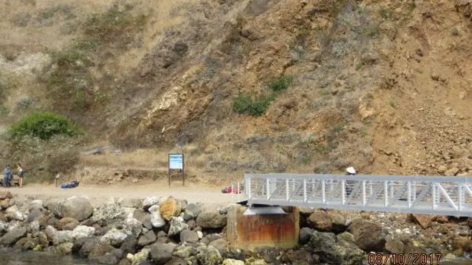
Nancy and I are scheduling another trip to Santa Cruz Island. It's becoming a yearly thing. I just bought my ticket from Ventura Harbor to The Scorpion Cove landing. I booked the 10:00 AM departure (OUTBOUND), as there were more spaces on that boat. We will return on the 3:00 PM boat (INBOUND). You have […]
Conejo Open Space Foundation and West Tasting Room in Thousand Oaks will collaborate for a COSF fundraiser on Tuesday, April 22 from 4-9 PM. West Tasting Room will graciously donate 10% of all profits to COSF! Steve J (your organizer) and Steve C (one of our hike leaders) are both on the Board of Directors […]
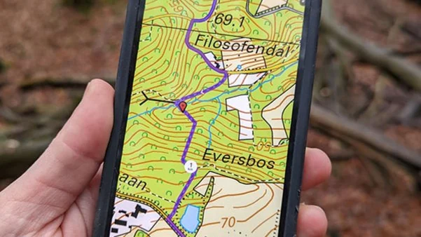
This session will highlight some of our favorite apps, their uses, how much they cost, and their pros and cons. The following is an example of some of the content you can expect. * Creating and using offline maps (Google, Caltopo, Gaia, Alltrails) * Smart GPS Watches (Garmin, Coros, Apple, Suunto) * Fun Facts Apps […]
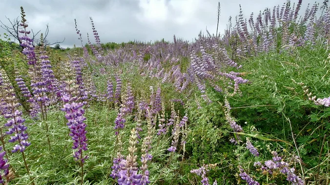
Join us as we go up and over Kanan Dume Rd and hike to Latigo Canyon Rd. This hike is only 5 about miles with about 900’ gain and will take us on a less-traveled but quite beautiful part of the 67-mile Backbone trail. There should be wildflowers. The route begins at Kanan Dume Road, […]
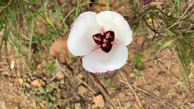
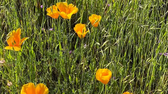
This will be a figure 8 loop throughout the upper mesa of Rancho Sierra Vista. We will see many California poppies and Mariposa lilies as well as enjoy the green hills. Bring plenty of water, wide hat, sturdy shoes or boots and hiking poles if you favor them. Total distance is roughly 6 miles, with […]
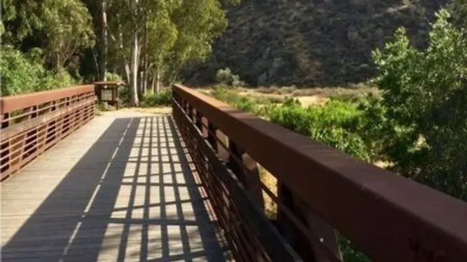
5.3 miles, 600' gain, Easy-Intermediate 2.5 miles, 100' gain, Beginner We start by crossing a bridge into a wooded area and continue down a relatively flat path alongside a stream. After about a mile, we'll come to a junction. For those that want the full hike, we'll turn right and complete a 3 mile loop […]
This is definitely a next step if you have done your wilderness training. It embodies adventure and the romance of traveling to far off places. It is also tempered with safety and do-ability. I am a certified WFR and will be traveling with the entire way. The actual dates are Apr 25-May 11, 2025 and […]
I’m very excited to plan another hike up to the Hollywood Sign and the Bronson Caves. This will take us to the summit of Mt. Lee where we will get the best views of the Hollywood Sign. The total mileage for our journey will be approximately 7 miles. Our elevation change should be about 1,200 […]
Another grand tour of some of our favorite open spaces and surrounding neighborhoods including Santa Rosa Valley, Wildwood Park, Hill Canyon and the star of the this ride, The Joel McCrea Ranch. The ranch was the beloved home of legendary film actor Joel McCrea and his wife, actress Frances Dee. On the advice of close […]
Join us for a grand tour of some of our favorite open spaces and surrounding neighborhoods including Santa Rosa Valley, Wildwood Park, Hill Canyon and the star of the this ride, The Joel McCrea Ranch. For more information an RSVP click or tap here
The hike we will be doing will be around 5 miles long with 875 ft. of elevation gain. This will be a loop starting at the parking lot of Nix Nature Center. As you will see on the map, this is at the main park entrance off of the 133 (Little Sycamore Canyon Staging Area). […]
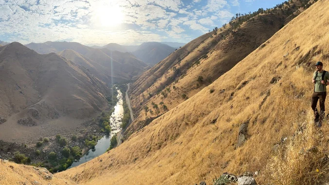
Kern Gateway Trail Hike Join us to learn more about the Kern Gateway Trail and to see for yourself what a beautiful and unique outdoor amenity it will create for the Kern County / San Joaquin Valley region. RSVP to get your name on the list. This site visit will include a talk from community […]
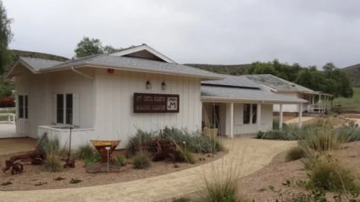
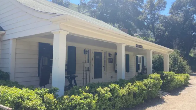
I'll be working in the Malibu Creek State Park Visitor Center on this Sunday. We are open from Noon to 4pm. Stop by and say hello -- and for a private tour. About the VC The MCSP Visitor Center (VC) is a historic building and is over 100 years old. Malibu Creek Docents operate the […]
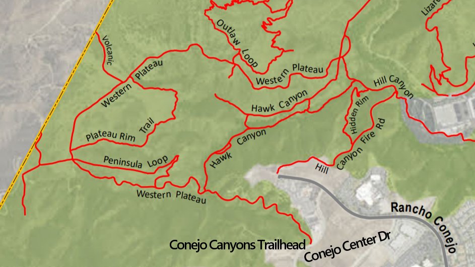
Meet at the Conejo Canyons trailhead next to the Thousand Oaks Recycling Center on Conejo Center Drive, near the end of Rancho Conejo. We'll walk down the fire road to Hawk Canyon and then we will take Hawk Canyon to Five Points. From Five Points, we will take the Western Plateau trail up to intersection […]
This is a second and easier hike for Tuesday. Jaesoon is on vacation. This hike will loop around the periphery of Dos Vientos Open Space, passing Twin Ponds, overlooking Potrero Road and the Oxnard Plain with the Channel Islands in the background. We will cross 3 streets along the way. This hike is about 5.0 […]
Inspired by forests, trees, leaves, roots, and seeds, The Language of Trees: A Rewilding of Literature and Landscape invites readers to discover an unexpected and imaginative language to better read and write the natural world around us and reclaim our relationship with it. In this gorgeously illustrated and deeply thoughtful collection, Katie Holten gifts readers […]
Join us for an exhilarating winter adventure as part of the Wilderness Travel Course series. We will be exploring the beauty of the snow-covered landscapes through snowshoeing in a guided expedition. Learn about winter camping techniques, navigation in snow-covered terrains, and essential survival skills in cold weather environments. This event is perfect for outdoor enthusiasts […]
This week we’ll hike about 5 miles with 800' of total elevation gain, spread out nicely, with a little bonus loop through Oak Creek Canyon. "Robles" is Spanish for oaks, and we'll see plenty of them on this beautiful, relaxing hike. After a short street walk to get to the trailhead, we'll hike along Los […]
4 miles, 700' gain, easy-intermediate Easy option: 2.5 miles, 500' gain Parking on the south side of the CA-118 at the Rocky Peak exit. We'll walk west along the Santa Susana Pass Rd. for about 500 feet, and directly across from Lilac Ln, we'll enter a trail. We'll move along a relatively flat section for […]
https://www.californiasurvivaltraining.com/basic-survival-skills-certification-course Local wilderness first aid training and survival techniques My certification is up for renewal so I will be attending either the May 3-5 or June 7-9 event. Feel free to browse the website and select dates that work for you. They always have a Christmas sale like BOGO or half off.
Our fifth Backbone Trail hike in the Santa Monica Mountains will be l0 miles with 2800’ elevation gain on the BBT going from the Tapia Park area to the Latigo Canyon Trailhead. We will take the Mesa Peak Trail though the upper Corral and Solstice Canyon areas. Bring water, snacks, sunscreen, and a good attitude. […]
This hike will be about 7 miles total with 1200 ft. of elevation gain. We are starting at the parking lot at the Wahoo's parking lot. We will take Live Oak Trail. This turns into Serrano Road which will take us to Serrano Cow Trail. At this part of the trail, we usually see a […]
DESCRIPTION: This is a enjoyable hike along the beach and bluffs. Our hike starts at Viola Fields in Carpinteria. The trail takes us to Rincon Beach. Along the way we pass great views of the Pacific Ocean shore line. We descend down to the shore and enjoy a ocean breeze as we walk on the […]
Our sixth Backbone Trail hike will be 7 miles with 700’ gain on the BBT through Newton, Zuma, and Trancas Canyons. We will start at the Latigo Canyon Trailhead taking the Backbone Trail across Kanan Road then taking the Zuma Canyon Trail over to Encinal Canyon. Bring water, snacks, sunscreen, and a good attitude. Rain, […]
This hike will be at Crystal Cove State Park. We will be doing part of the Moro Canyon trails. This hike will be about 6.6 miles with approximately 1,000 ft. of elevation gain. We are beginning at the Ridge Park Entrance (see the map for exact details on where to go.) This hike will take […]
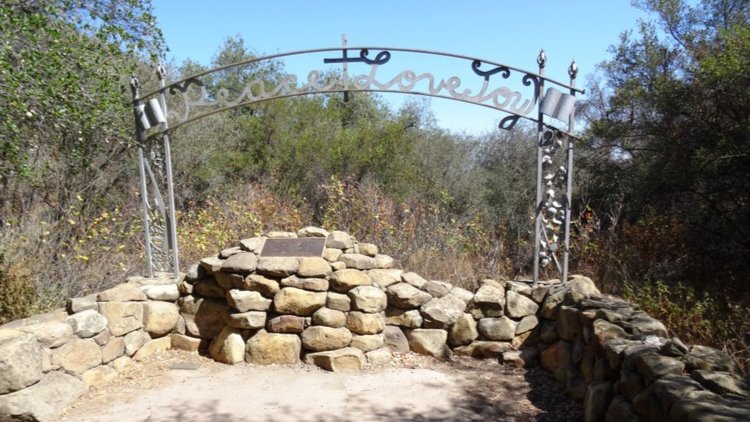
6.5 miles, 1300' gain, intermediate This hike is longer and harder than our regular hikes. We start at 3:00PM to make the most of the sunlight time. Beautiful spring is here! Let's enjoy hiking to the Danielson Monument in the Boney Mountain Wilderness, potluck, and "Peace, Love and Joy"! Please bring food and drinks to […]
Trail statistics are approximate. For safety purposes always assume they are underestimated. But don’t be disappointed if they are overestimated. Bring more water and snacks than you think you’ll need.
Trail descriptions are based on previous hikes. Current conditions are unknown until arrival. Expect the unexpected and plan accordingly.
The Organizers and members of Hiking With Dean are not professional leaders, guides, or mountaineers. The function of the member or organizer is only to organize the trip. Each person who shows up for a trip/meetup (and their guest or guests) is responsible for his or her own safety. By attending a hike, or any other event organized by this group, you are acknowledging that you and any guests that you bring are aware of the risks, dangers and hazards associated with the activity and freely accept and fully assume all such risks, dangers and hazards, and further agree to release and discharge the Organizers, Members of the Hiking With Dean Meetup Group from and against any and all liability arising from your participation in the group activities per our ASSUMPTION OF RISK AND LIABILITY WAIVER and Section 6.2 of the Meetup.com Terms of Service.























Recent Comments