
Hikes
Calendar of Hikes
Monday |
Tuesday |
Wednesday |
Thursday |
Friday |
Saturday |
Sunday |
|---|---|---|---|---|---|---|
4 hikes,
-
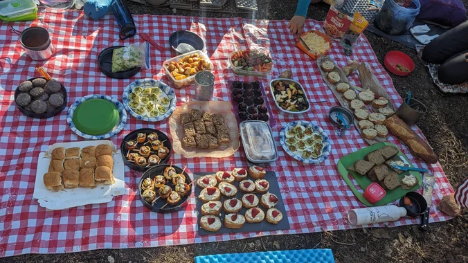
 Picnic and Concert Many of us from this group will attend this event. We'll start picnicing a few hours before the concert. Bring food and drinks to share. If your item requires utensils, please supply them. Please post in the comments, if you can bring a table. Bring blankets and lawn chairs. A variety of […]
-
 5.2 miles, 1140' gain, Intermediate Beginner Option: 3.5 miles, 500' gain, Fit Beginner Come to the hike only (2:30p), picnic only (4:00p), or both. This event has limited space. Those still on the waiting list will be moved to the RSVP list several days before the event, or even the day of the event, if […]
-
 ANSEL ADAMS & MINARETS: Early season hike around the Minarets area. Enter via Red Cones near Mammoth (does not require that the Reds Meadow Road be open). Loop route past Reds Meadow, around Minarets to Garnet and Thousand Island Lakes, option to loop around to Duck Lake. Lots of lakes and streams. 6 people max. […] |
2 hikes,
-
 We will start our hike near the beginning of Regal Oak Ct. on the lower Rosewood Trail, a dirt trail heading up a shaded ravine at the base of the mountains, and continue to the usual Rosewood trail. Rosewood trail presents a clear view over the 101 Freeway carving up the Conejo Valley. This is […]
-
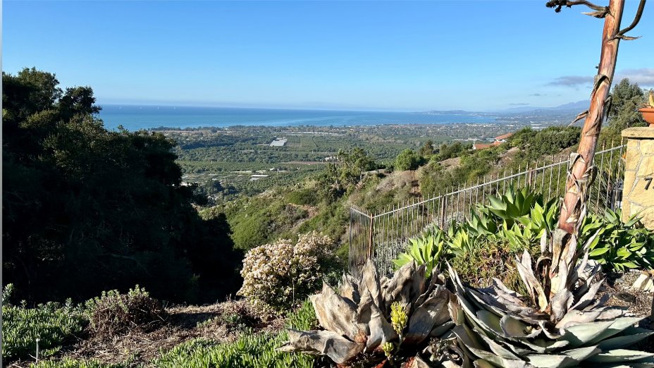
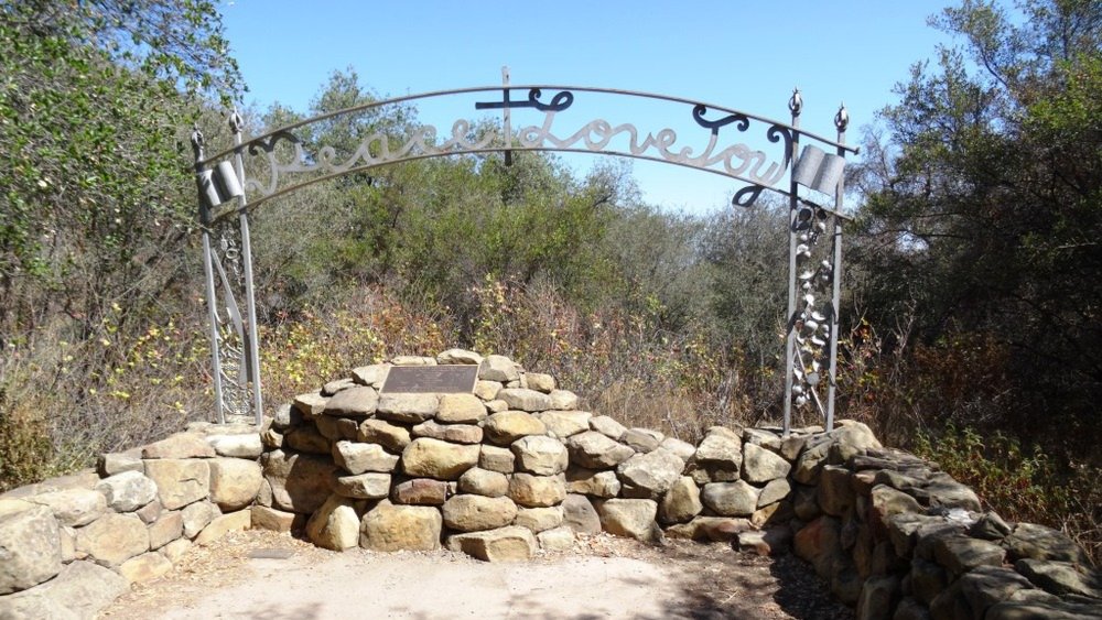 Let's head out to the famed Peace, Love, Joy arch at the Danielson. This out and back hike wanders through grasslands and chaparral from the Rancho Sierra Vista trailhead, then climbs up Danielson fire road for some fantastic views north to Port Hueneme and Oxnard and west toward the Pacific Ocean. If it's really clear, […] |
1 hike,
-
 http://photos2.meetupstatic.com/photos/event/b/0/e/c/event_80025292.jpeg Since the trail has been redesigned and is now about 8 1/2 miles, we will stop at Ventu Park Road for our break. PLEASE NOTE: Don't show up unless you're shown on the "Attending" list Unregistered or waitlisted will be turned away Make sure you can keep up with the group No "Plus Ones" […] |
3 hikes,
-
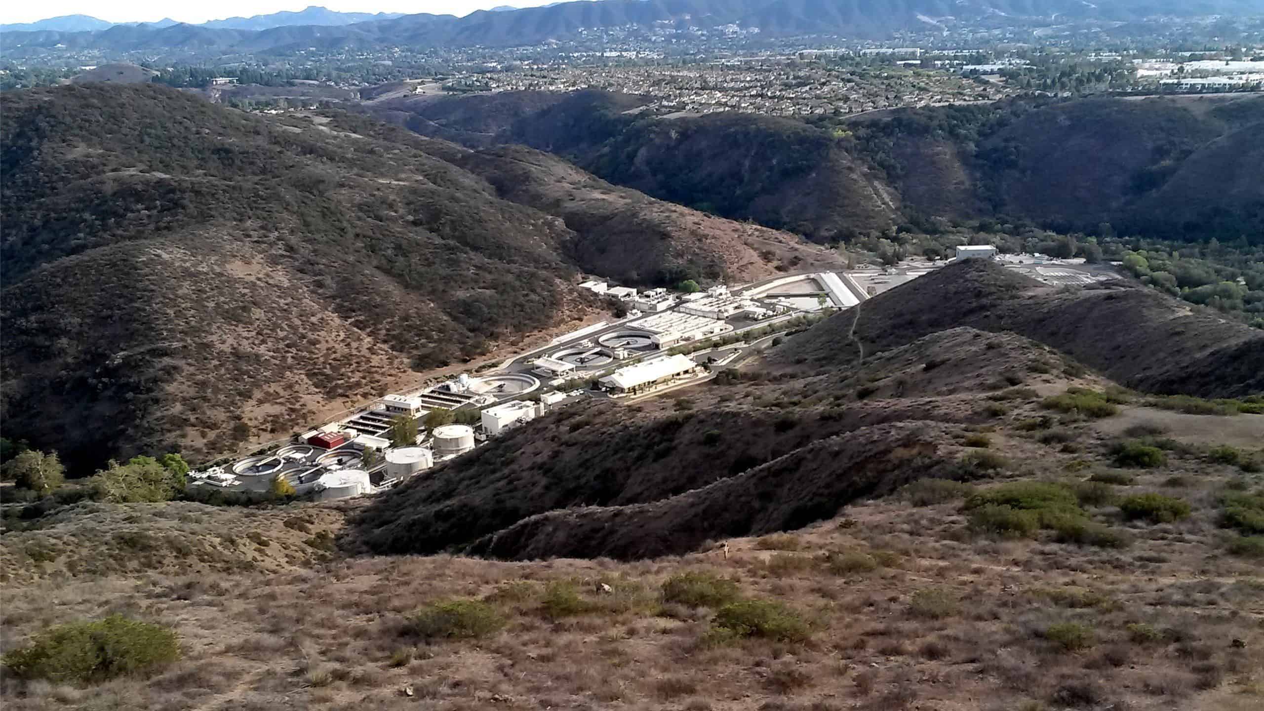
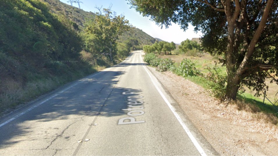
 Note 8:30am start time! This hike will loop around the periphery of Dos Vientos Open Space, passing Twin Ponds, overlooking Potrero Road and the Oxnard Plain with the Channel Islands in the background. We will cross 3 streets along the way. This hike is about 6.0 miles with 1,000 feet of elevation gain. Pace: This […]
-
Note 8:30am start time! This hike will loop around the periphery of Dos Vientos Open Space, passing Twin Ponds, overlooking Potrero Road and the Oxnard Plain with the Channel Islands in the background. We will cross 3 streets along the way. This hike is about 5.0 miles with 800 feet of elevation gain. Pace: This […]
-
 4.75 miles, 700' gain, easy-intermediate Option for 3 miles, 300' gain, easy. This is a link to the route: LINK We start with a 1/4 mile walk from where we park along Cottonwood Dr, to the trail head. There we make a left and take a relatively flat section and hike for about 3/4 mile. […] |
0 hikes,
|
4 hikes,
-
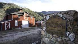
 A new old west is rising! Let's check out the rebuilding progress of the famous Old Western Town at Paramount Ranch with this easy hike. 📽️As many of you know, until the Woolsey fire, this was the filming site of hundreds of movies and TV shows since 1927. The Woolsey Fire destroyed the original Western […]
-
 Join us at Sports Basement OC for a fun opportunity to see and test lots of gear demos, take advantage of special offers and attend clinics. One of the clinics will cover the essentials of backpacking. If you're just getting started or thinking about it, or if you have some questions about building your kit, […]
-
 The total distance for this hike is 4.5 miles with about 650 ft. of elevation gain. There are great mountain and ocean views along the ridge. We are going to start on Bommer Ridge Trail and take this to Lizard Trail. We will go down that and loop back up to Bommer via Upper Laurel. […] |
0 hikes,
|
1 hike,
-
 I'm taking a 4 day trip to Guerneville on the Russian River near Santa Rosa. Guerneville is known for its natural environment and proximity to wine-tasting and redwood forests. Make sure you sign on to the events you want to attend. Four of our events (June 3,4,5) will start in Guerneville. Of those four, three […] |
4 hikes,
-
 The “Featured photo” was taken at the Saddle Peak after the Pacific Palisades fire. I also added a photo previously taken at the same location. Let’s go to see how the fire changed the area. This hike begins at Upper Stunt High Trail, a couple hundred feet to the right on the other side of […]
-
 We will hike the Powerline Trail to Conejo Peak, including a brief stop at the "teardrop" loop below the final climb to the peak. Great views of the Pacific, Channel Islands, Oxnard Plain, Conejo Valley, and (if clear) snow-covered Mt. Baldy and peaks east and north. This area was completely burned over by the 2013 […]
-
 This is day 2 of a 4 day trip to Guerneville on the Russian River near Santa Rosa. Guerneville is known for its natural environment and proximity to wine-tasting and redwood forests. Make sure you sign on to the events you want to attend. Four of our events (June 3,4,5) will start in Guerneville. Of […] |
3 hikes,
-
 This is day 3 option (A) of a 4 day trip to Guerneville on the Russian River near Santa Rosa. Guerneville is known for its natural environment and proximity to wine-tasting and redwood forests. Make sure you sign on to the events you want to attend. Four of our events (June 3,4,5) will start in […]
-
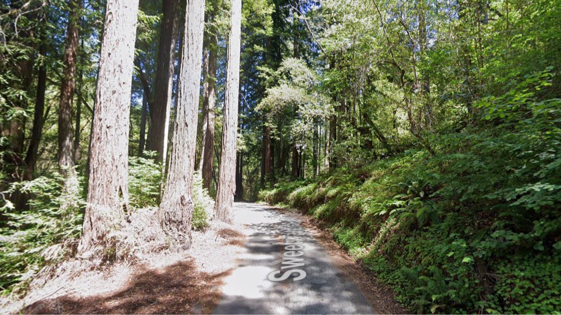 This is day 3 option (B) of a 4 day trip to Guerneville on the Russian River near Santa Rosa. Guerneville is known for its natural environment and proximity to wine-tasting and redwood forests. Make sure you sign on to the events you want to attend. Four of our events (June 3,4,5) will start in […]
-
http://photos1.meetupstatic.com/photos/event/e/3/a/0/event_167038272.jpeg This challenging hike has some rocky parts, but no scrambling. This hike will take us on a scenic trip from the suburbs of Oak Park to the top of Simi Peak, which overlooks both the Simi and Conejo Valleys and offers splendid views of the Santa Monica range and offshore islands to the south […] |
4 hikes,
-
 Palo Comado ("Burnt Stick" in Spanish) tells you a lot about the environs - frequently burned over by wildfires, this was directly in the line of the Woolsey Fire but much of the vegetation has re-grown. This is one of many routes from the Conejo Valley to China Flat. Except for one turn near the […]
-
 This hike should still be fairly cool and we can meet the other hiking group for lunch on Kanan. We will go a bit slower than the other hike. We will start on Kanan at Newton Canyon and hike to Latigo Canyon Rd. It is a little steep at the beginning but then turns into […]
-
 This is day 4 of a 4 day trip to Guerneville on the Russian River near Santa Rosa. Guerneville is known for its natural environment and proximity to wine-tasting and redwood forests. Make sure you sign on to the events you want to attend. Four of our events (June 3,4,5) will start in Guerneville. Of […] |
2 hikes, Bucket list trip! It's finally time to cross off Havasupai! This is not a beginner trip. We will be moving at an advanced pace. To attend this event, you and I must have previous trip history together, no exceptions. Feel free to contact me! Please add yourself to the wait-list to indicate interest. These dates […] |
8 hikes,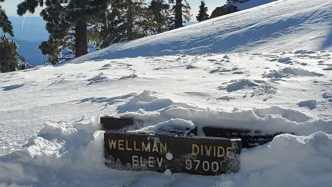 Tentative trip-date will be finalized by May. This trip lets us get up to some altitude while there is still snowpack in the sierras. NO PLUS 1 Distance – 10 miles round trip Peak Elevation: 10,834 Elevation Gain/Loss: 800-2000 Terrain Type – possible Snow Difficulty – Intermediate residual snow and ice may be on the […]
-
 DESCRIPTION: Our delightful hike takes us over the mountain from Red Box to Strawberry Meadow, that is located In the protective shade of the great Strawberry Peak. We will enjoy a different view of the peak with granite cliffs and boulder stacked ridges. The trail will pass through clusters of dense chaparral, scrub oak, manzanita, […]
-
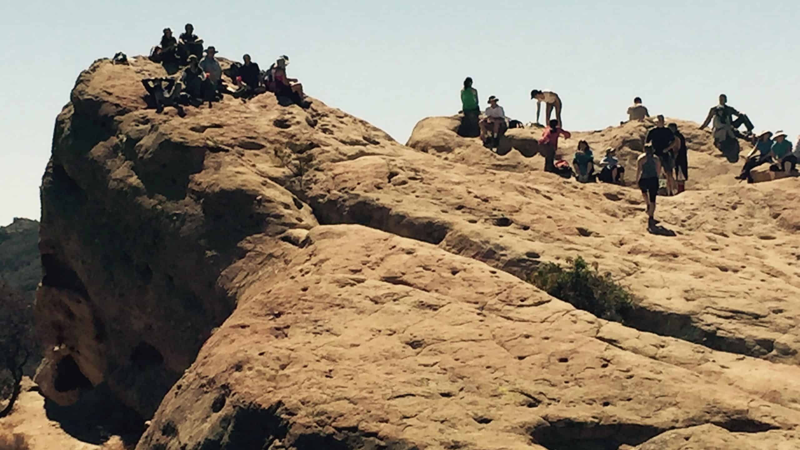 When was the last time you did this hike?... Eagle Rock, the most impressive landmark in all of Topanga State Park, will afford us an airy perch overlooking the upper watershed of Santa Ynez Canyon and the ocean beyond. We will eat, drink and explore on this impressive sandstone rock covered with crevices and caves. […]
-
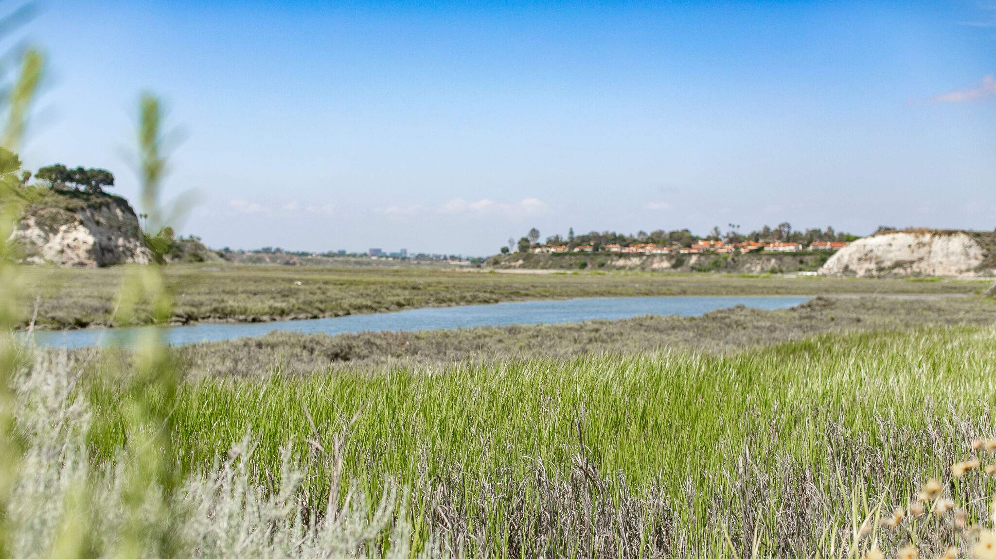 Let's hike at the Back Bay in Newport. We will be doing about 5 miles. It will be an out and back. A lot of the trail is asphalt. You can wear hiking or running shoes. There is a Upper Newport Back Bay Nature Preserve parking lot right off University Dr. and Irvine Ave. (See […] |
5 hikes,
-
 We are going to be starting at the Canyon View Staging Area. This hike is roughly 7 miles with relatively low elevation gain. The expectation is to definitely make it to Cave Rock and Dripping Cave. Hopefully we see animals too! Link to Parking from Google Maps: https://www.google.com/maps/place/Canyon+View+Staging+Area/@33.585273,-117.7465062,17z/data=!3m1!4b1!4m5!3m4!1s0x80dce61b6bd45c2d:0x5ef3f1ad687cc8b5!8m2!3d33.585273!4d-117.7443175 Dogs are not allowed at this park. […]
-
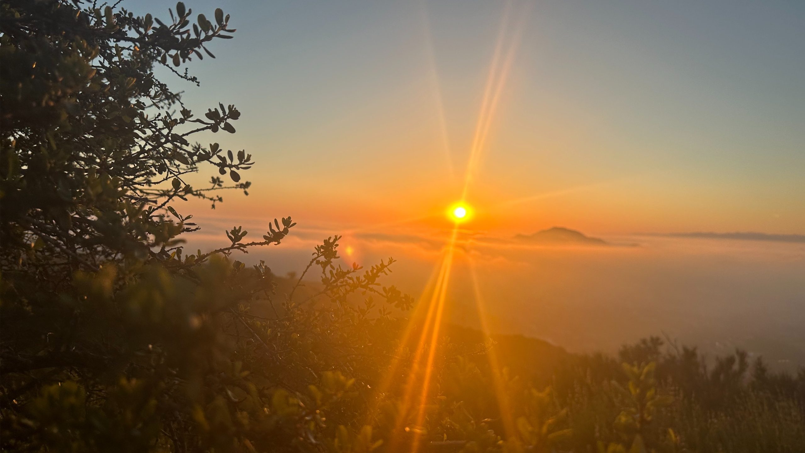 3.0 miles, 800' gain, easy-intermediate. Moonrise 6:09 pm Photo by Helen Let's enjoy the gorgeous sunset, full moon, and fun loaded potluck picnic at the beautiful Angel Vista! This is a potluck hike. Please bring food, drinks to share. If your item requires utensils/plates/toothpicks, etc., please bring them. You may wish to bring your own […] |
4 hikes,
-
 Moderately paced 10-mile, 1800 foot gain hike on the Sycamore Canyon, Wood Canyon, Overlook, and Ray Miller trails finishing at the La Jolla Campground. The outing will be a one-way shuttle hike (shuttle less than two miles). Meet 8:30 am in the Ray Miller Trailhead parking lot (fee, or free with an appropriate California State […]
-
 http://photos4.meetupstatic.com/photos/event/4/e/0/4/event_85459972.jpeg Tucked along the 101 in Agoura is the northernmost section of the Santa Monica Mountains National Recreation Area. Echoing its not-so-distant past of ranching, the rolling hills and shady canyons are popular with equestrians. Before the ranchers, Chumash Indians and grizzly bears tromped out the slender trails in the native grasses that became today's […]
-
 This hike starts at 8:30 am from Gold Canyon Trail to Wildwood Canyon Trail. Wildwood Park in Thousand Oaks is one of the most versatile local parks there is, with 27 miles of trails skittering through rocky cliffs, cacti-filled desert environs, volcanic rock, riparian forest, and a cool, watery canyon. We will pass through various […] |
1 hike,
-
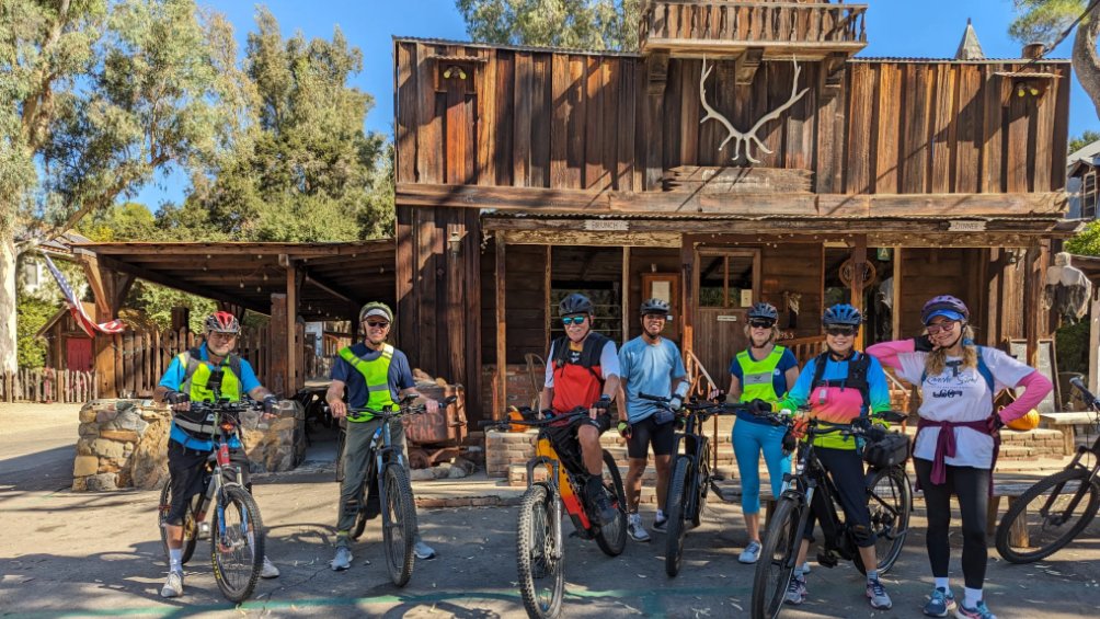 This Ebike ride will consist of 94% paved roads. 6% will be on dirt roads. Along the way, we'll ride that portion of Mulholland Drive, known as the Snake, that is closed to vehicle traffic. In the middle of the ride we'll be stopping for lunch at The Old Place (pictured above). Make sure you […] |
3 hikes,
-
 Wildwood Park is one of our most versatile local parks, with 27 miles of trails traversing rocky volcanic cliffs, cacti-filled desert environs, riparian forest, and a cool, watery canyon. Wildwood's western look served as backdrop for TV classics such as The Rifleman, Gunsmoke, and Wagon Train. We will meet at Wildwood's main parking lot. This […]
-
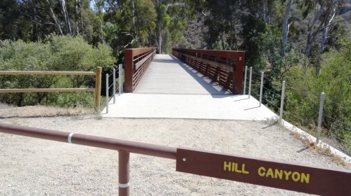 We will start this hike at Santa Rosa Regional Park at the parking area in Hill Canyon, cross the bridge over the runoff creek, and stroll a mile before turning onto the fire road up the Western Plateau. We will continue straight at the crest of the fire road and then turn left on the […]
-
 Easy Intermediate, 4.5 miles, 600' gain Easier Option, 3.5 miles, 460' gain This is a unique loop through Wildwood Park that takes us to the famous Lizard Rock. There are several extended inclines and a few short but steep climbs that cause this to be rated on the easy end of the intermediate spectrum. Beginners […] |
2 hikes, Many from this group, plus other friends, will attend this event at Sagebrush Cantina. The band playing (Hindsite) puts on a fantastic show, playing dance, pop, r&b/funk, and hip hop music from the 70's up to the latest hits. This is one of the best venues I've experienced on LA's west side, and this is […]
-
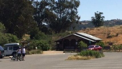
 This ride will be on paved and paved roads as we take on a loop from Newbury Park to Camarillo. Make sure you bring along a spare inner tube or slime. MEETUP LOCATION AND TIME: Rancho Sierra Vista/Satwiwa in Newbury Park at 9:00am. If you don't see a restroom at the meetup location, you're at […] |
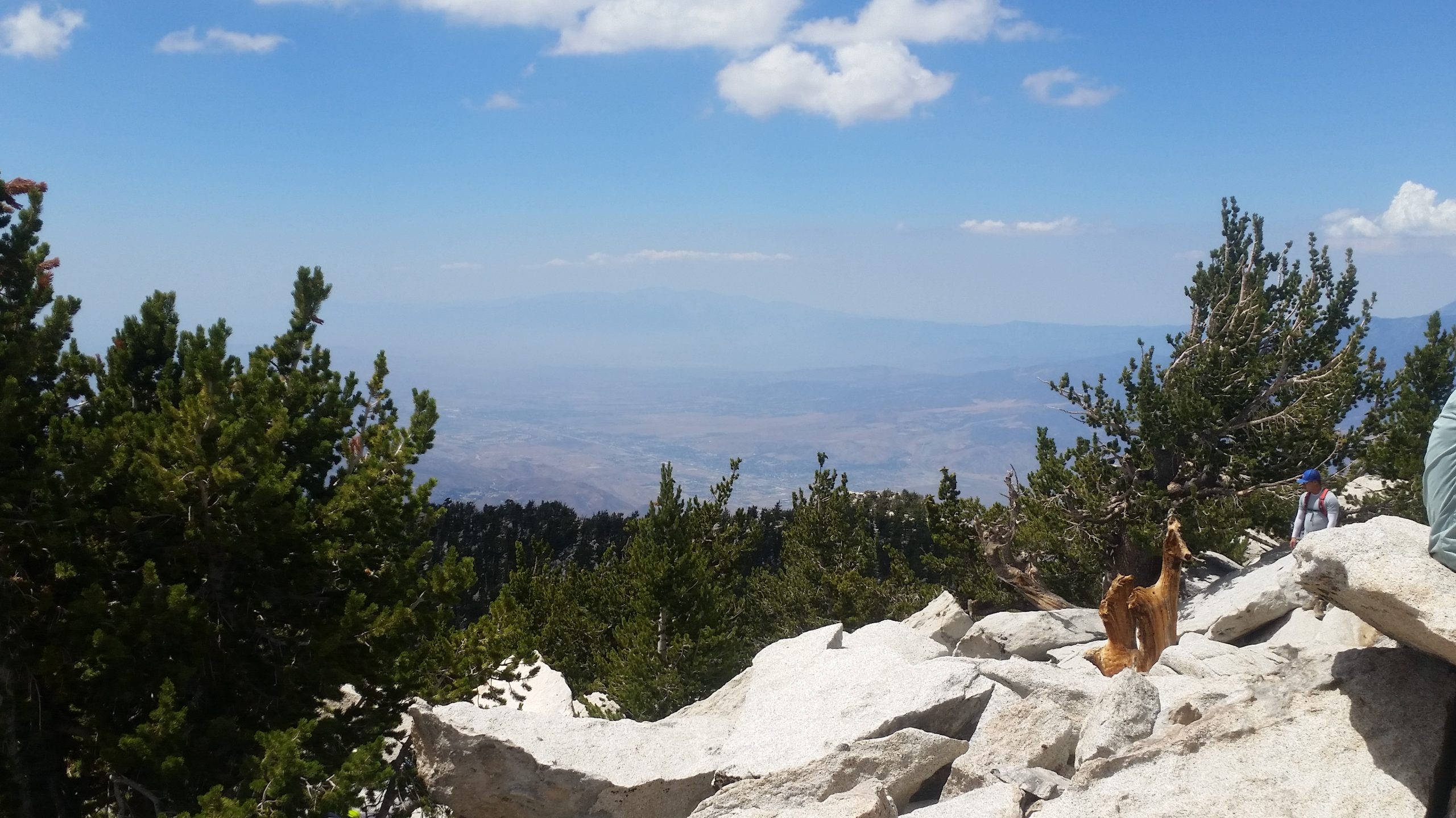
5 hikes, San Gorgonio Mountain is the tallest peak in Southern California (11,502 feet) We will be taking the South Fork Trail to Dry Lake. We will be camping near Dry Lake. Depending on weather conditions, we might need mircro spikes or crampons. Possibly snow at higher elevation. So San Gorgonio Peak will be optional. Miles: 11.2 […]
-
 DESCRIPTION: It’s great to be planning hikes again after some time away to let a nagging foot injury heal. I’m starting with an old favorite that won’t be too hard for someone who hasn’t hiked in the better part of three months. It's exciting to be hiking again! We'll start from Mentryville (a historic SCV […]
-
Hike #6 in the 2025 Saturday in the Santa Monica Mountains is a moderate 8 mile, 900’ gain out and back hike starting at Paramount Ranch and hiking into Malibu Creek State Park with lunch at the MASH site and return by different trails with views of Malibu Lake as we head back. Bring water, […]
-
 Additional registration is not required for the event. Details about the event: https://letsgooutside.org/activities/2025/06/14/wilderness-access-day-gypsum-canyon-wilderness-25/ Please join us for our second exploratory hike at Gypsum Canyon! We plan to do 4-5 miles with roughly 800 ft. of elevation gain. Located within OC Parks’ Irvine Ranch Open Space, Gypsum Canyon Wilderness features seven new trails for hiking, mountain […] |
3 hikes,
-
The hike will be about 5.7 miles with about 750 ft. of elevation gain. We will start on Peters Canyon Trail and take this to East Ridge View Trail. This is where we will go up Big Red. Then we will continue on this trail until we get to Eucalyptus to loop back. We will […]
-
 Join us as MIRAGE celebrates and reinvents the timeless music of the legendary FLEETWOOD MAC.! Let's enjoy potluck picnic before the concert. If your item requires utensils, please supply them. You may wish to bring your own cup, plate, and utensils in case there aren't any. Snacks and/or beverages to share Located at Chumash Park, […] | |
|
0 hikes,
|
4 hikes,
-
 This hike will be Gentler Intermediate and Earlier of the Tuesday hikes! The trail is an awesome blend of ocean and mountain views in Malibu’s La Jolla Canyon. We will start from the trailhead which follows the canyon eastward, away from the ocean. Then, it quickly brings you back toward the ocean at a gradual […]
-
 Encinal Canyon is named for encina, the Spanish word for the holm oak, a lovely Mediterranean tree with holly characteristics. Holm oaks are one of the main trees used to establish truffle orchards, but we'll be nosing around the canyon strictly for its beauty. The trail from Encinal is a smooth, firm, and well-traveled single […]
-
 Moderate 9 miles, 1000' gain Westside city park hike. Our PtPtP outing tours Culver City Park, the Baldwin Hills Scenic Overlook, and Kenny Hahn State Recreation Area. The outing will traverse the Park to Playa trail as well as Ron's trail, a short jaunt up and down the infamous Culver City Stairs, and take in […] |
4 hikes,
-
 CARPINTERIA LOOP We'll be riding along Carpinteria's coastline and its hilly back country roads. Make sure you have Tannus inserts, green slime or FlatOut in your inner tubes to avoid flats. MEETUP LOCATION AND TIME: 9:00 am in parking lot near restroom at Rincon Point State Beach ROUTE DISTANCE: 20 miles. ELEVATION GAIN: 1500' LUNCH: […]
-
 A Benefit Concert to Support Music Programs Affected by the LA Fires sponsored by the Agoura High School Music Program! --- The Eaton Fire in Pasadena, Altadena, and Sierra Madre had a devastating impact on the students, families, and staff of the Pasadena Unified School District (PUSD) community. Nearly 10,000 homes and businesses were destroyed, […]
-
 Sick of eating GORP, granola bars, and protein bars on the trail. Ever wonder how many calories you need and tasty ways to deliver them when you're active outside? Then join us at Sports Basement to learn about: * Food needs for day hikes and backpacking trips * Hydration, electrolytes, caffeine and more * Summit […] |
3 hikes,
-
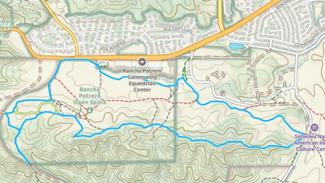 Note that this is a different start than the usual Rancho Sierra Vista Parking Lot!! Read carefully!! We have not done this hike for a while. We will meet at the Rancho Potrero COSCA trailhead parking area just west of the Equestrian Center on Lynn / Potrero. Pay attention as this is different than the […]
-
 We are starting at 9:00 (it will be cooler and there are lots of trees) and start at the Rancho Sierra Vista parking lot. We go down to paved road to the bridge on Sycamore Canyon, but then turn up the canyon alongside Upper Sycamore Creek. Along the way, we'll be in the shade of […]
-
 4 mi, 500' gain, beginner Easier option: 1.5 mi, 125' gain, beginner. This is a beginner hike on the beautiful Limekiln trail. This hike is a slight lollipop, (the shape of the route). There are no extended inclines, however there are about 5 bumps in the trail with 25-40' gains, about 35-65 steps each. This […] |
1 hike,
-
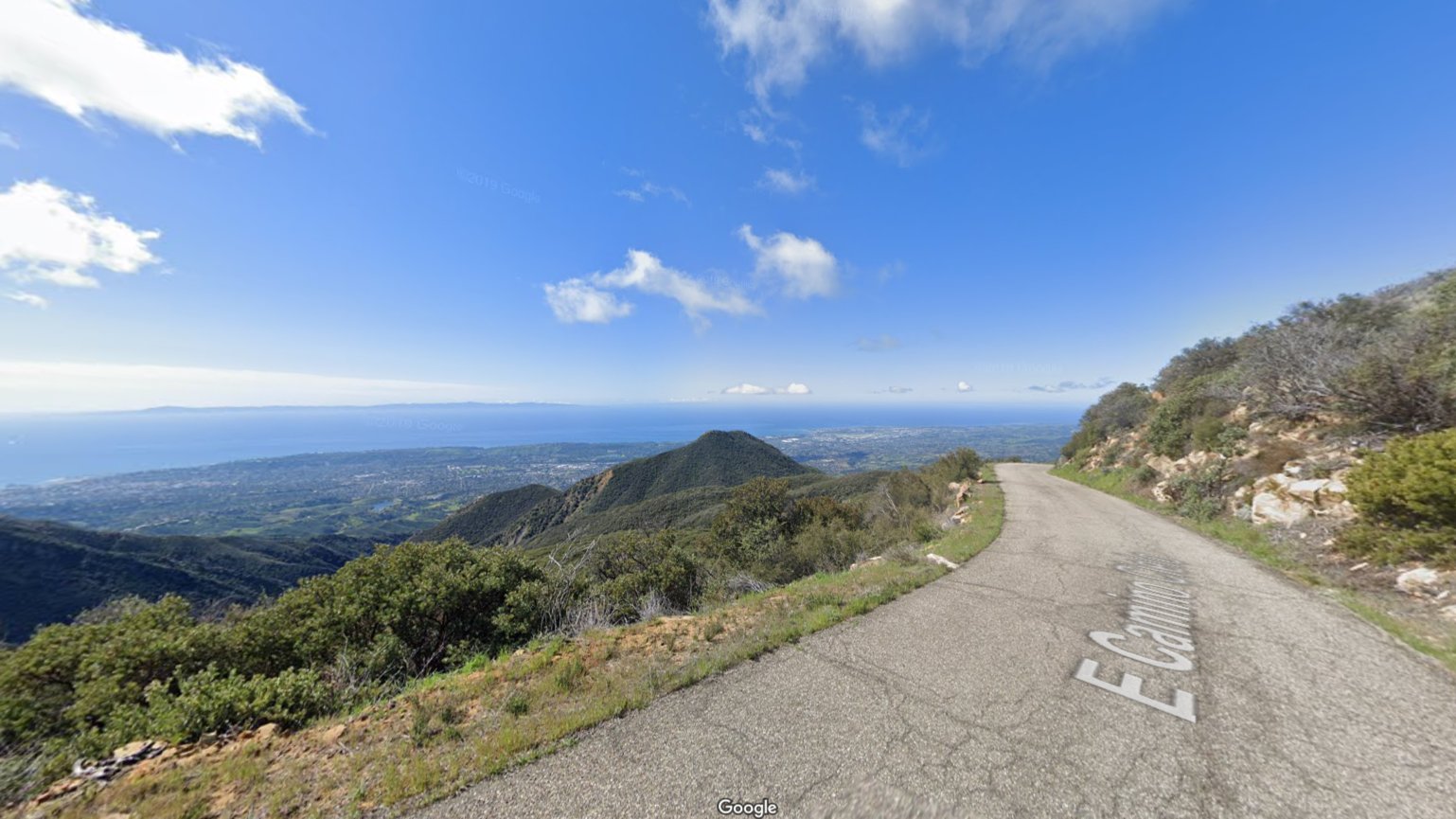 ONE OF THE BETTER RIDES I'VE DONE This is an opportunity to take on East Camino Cielo Road to enjoy the stunning views overlooking Santa Barbara and the Pacific Ocean that it offers. We'll start near the Cold Springs Tavern and make our way up to La Cumbre Peak. After enjoying the views and a […] |
4 hikes, Details June 21st-22nd, 2025 - San Jacinto Wilderness one night backpack to Hidden Lake and Tahquitz peak. 16 miles total and 4,700' gain over both days. The camp will be a remote site in the Skunk cabbage area. This is the first of four training hikes for the High Sierra Trail trek in September. (Giant […]
-
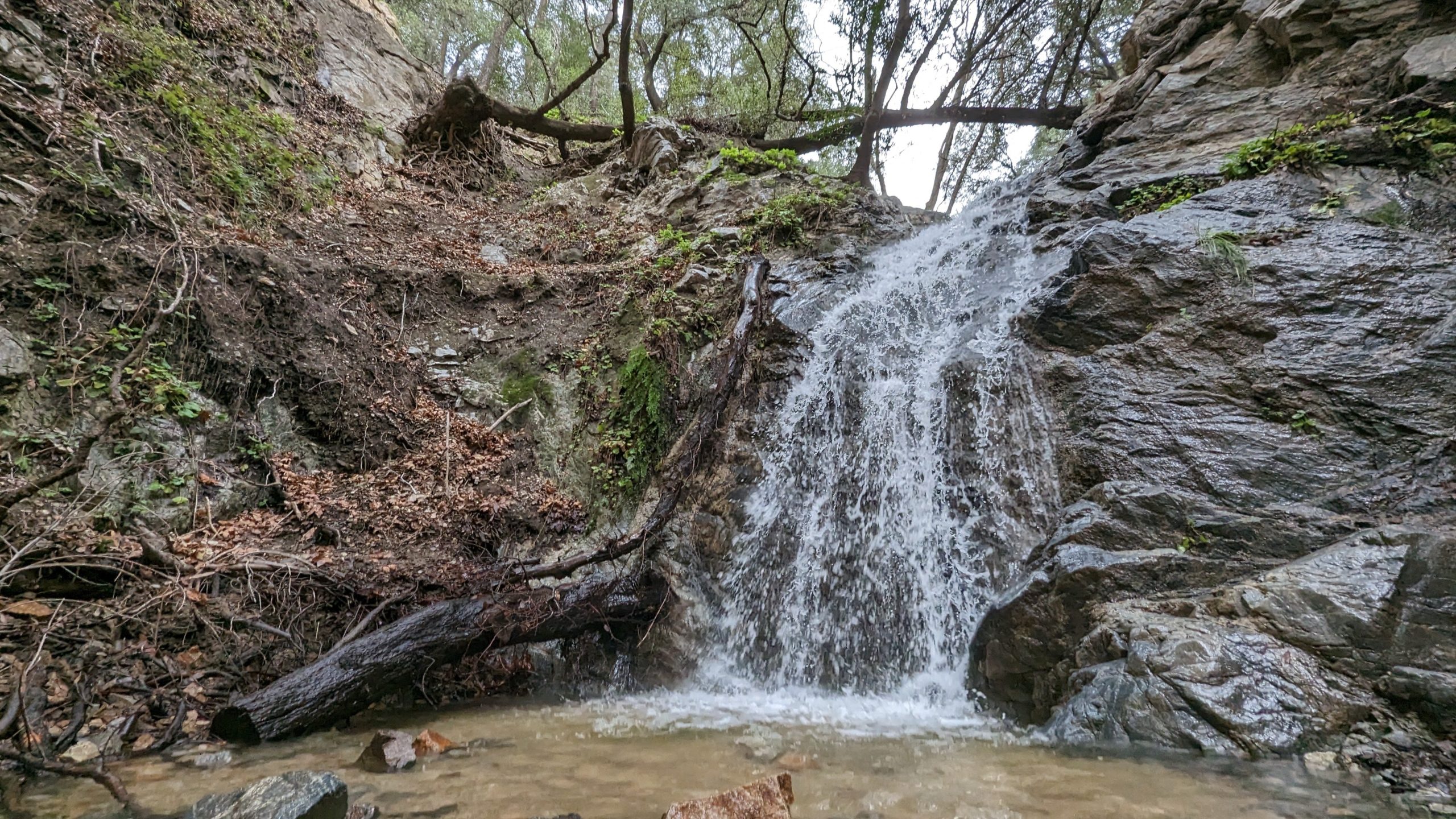 Nice and easy hike, if you are thinking about hiking and want to try something easy this is the hike for you! We will hike out to the waterfall area and see if there is any water in the waterfall. Chances are not likely but we shall see, there might even be some cool rocks! […]
-
 This hike will be about 5.4 miles total with 820 ft. of elevation gain. We are starting at the parking lot at the Wahoo's parking lot. We will take Live Oak Trail. This turns into Serrano Road which will take us to Serrano Cow Trail. At this part of the trail, we usually see a […] |
6 hikes,
-
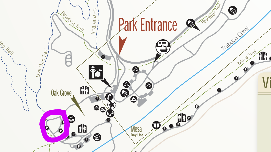
 The hike we will be doing will be around 5 miles long with 875 ft. of elevation gain. This will be a loop starting at the parking lot of Nix Nature Center. As you will see on the map, this is at the main park entrance off of the 133 (Little Sycamore Canyon Staging Area). […]
-
 Please look at all of the specifics at this main posting with Kern Valley Hiking. Join me at Bear 🐻 Valley Springs, Tehachapi. Hike & Food Together Afterwards https://meetu.ps/e/P47Qx/C3jP/i I just wanted to be sure to invite ALL from our local hiking groups! 😇😀 It will be a great fun 🤩 hiking day in a […]
-
 We start at the San Luis Obispo Public Market and take mostly generous bike lanes 10 miles to Pismo Beach. In Pismo we take a leisurely ride along the boardwalk and pier and then head up the coast. We detour onto the bike trails at Dinosaur Caves Park and then enjoy the scenic coastal vistas […] |
|
0 hikes,
|
3 hikes,
-
http://photos1.meetupstatic.com/photos/event/b/f/8/6/event_22189030.jpeg Space Mountain is the name for Los Robles Trail West, starting at Moorpark Road in Thousand Oaks and switchbacking up the hill to the west. No one seems to know why it's called Space Mountain, though maybe the Disney ride inspired the name. We'll hike up towards Angel Vista but we’ll retrace our steps […]
-
 We will start by following the pleasant single-track on the left (not the road to the right, which descends to a dead-end at the creek) from the Rancho Conejo Playfields in Newbury Park. The trail skirts the edge of a neighborhood and its steep-walled canyon, which provides great scenic views along the Barranca and through […]
-
 3 miles, 650' gain, Fit Beginner Easy option, 1.4 miles, 450' gain, Fit Beginner The address given, is not the address of the hike. It is a nearby address that may cause your GPS to drive past the trailhead. Those that prefer the Easy Option, should head UP from the trail head, waiting when they […] |
1 hike,
-
 We'll be taking a ride around Calabasas which will include an option for the group to add a side ride to The Upper Las Virgenes Ranch for some great views of the area. Make sure you have Tannus inserts, green slime or FlatOut in your inner tubes to avoid flats. MEETUP LOCATION AND TIME: Juan […] |
3 hikes,
-
 This week we’ll hike about 5.5 miles with 950’' of total elevation gain, spread out nicely, with a little bonus loop through Oak Creek Canyon. "Robles" is Spanish for oaks, and we'll see plenty of them on this beautiful, relaxing hike. After a short street walk to get to the trailhead, we'll hike along Los […]
-
 NOTE: We will leave from the Greenmeadow Parking lot and NOT from the Moorpark Lot. This is a second hike for Thursday but the hike leaves from Greenmeadow Trailhead so turn at the end of Moorpark Rd on Greenmeadow and go to end to the parking lot (a.k.a. Braille Trail). This hike will be an […]
-
 4 miles, 950' gain, Intermediate Easy Option: 1.6 miles, 400' gain, Fit Beginner Hardest option: 5 miles, 1200' gain, Intermediate The entire hike outbound is a steady incline. Nothing super steep, just continuous and quite strenuous for many. There are virtually no junctions where one can get lost. This is one of the more famous […] |
4 hikes,
-
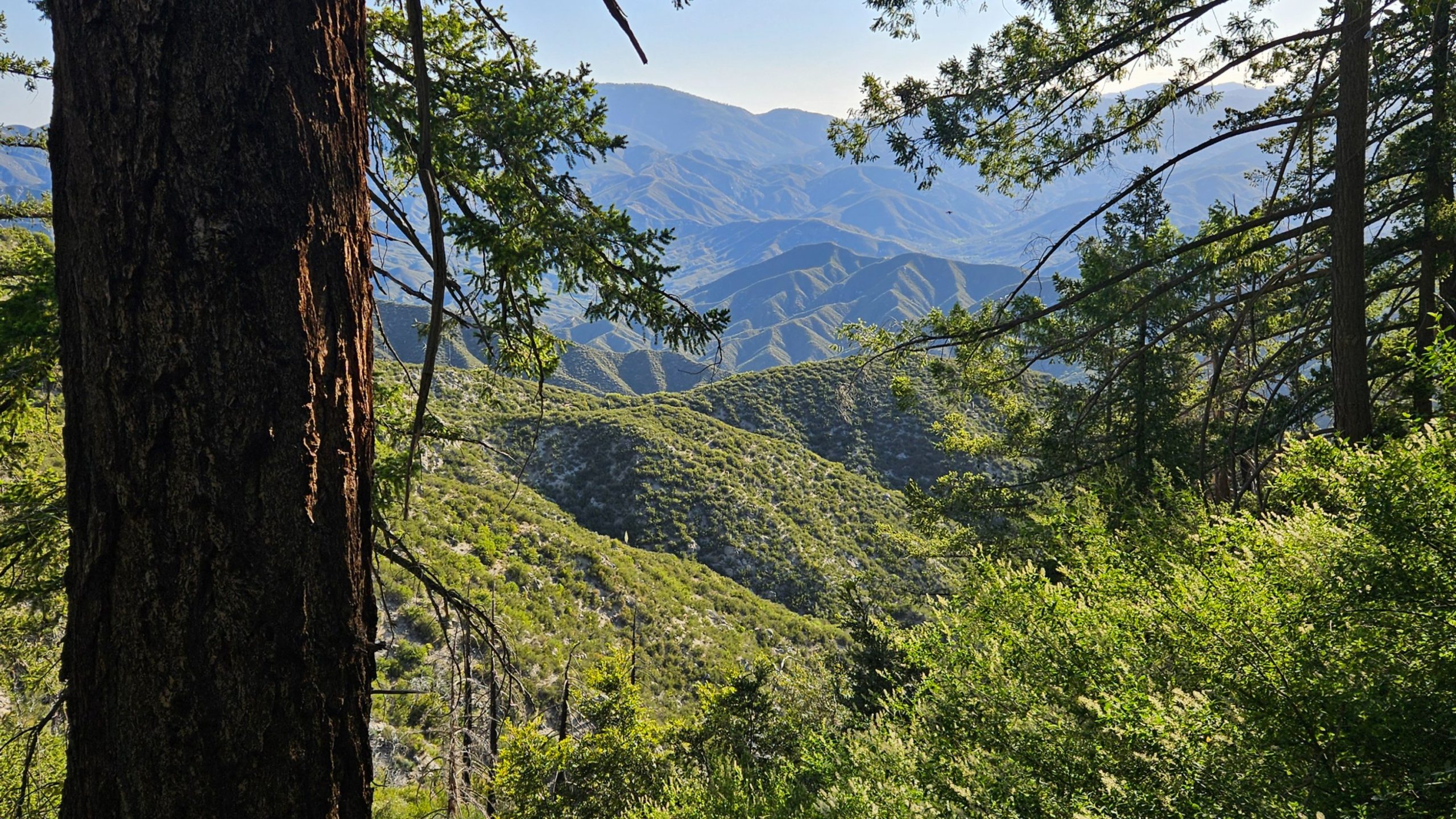
 DESCRIPTION: This hike is finally being rescheduled from the January fires. Please note earlier start time due to summer temperatures. This a 6.8-mile loop near Mt. Wilson, California. Generally considered a moderately challenging route. We will go clockwise around the loop. There are beautiful views and interesting rock formations along the way. We will stop […]
-
 This ride will be mostly on dirt roads as we take on a loop in Northeast Simi Valley. Will start with a climb up Rocky Peak Rd. which takes us to Las Llojas Canyon Rd. followed by Chivo Canyon Rd. From there we'll finish with street and bike paths. Bring a lunch to eat in […]
-
This hike will be about 7 miles total with 1200 ft. of elevation gain. We are starting at the parking lot at the Wahoo's parking lot. We will take Live Oak Trail. This turns into Serrano Road which will take us to Serrano Cow Trail. At this part of the trail, we usually see a […] |
3 hikes,
-
This hike will be at Crystal Cove State Park. We will be doing part of the Moro Canyon trails. This hike will be about 6.6 miles with approximately 1,000 ft. of elevation gain. We are beginning at the Ridge Park Entrance (see the map for exact details on where to go.) This hike will take […]
-
 Annual Fundraiser Hike for World Peace Sunday, June 29th 8am Meet at Trailhead for Delicious Coffee and Pastries! 8:30am Hike begins 11:30am Delicious Lunch at Tushita KBC located in the Oaks Mall! Registration Fee: $30 payable at trail head of event site - Sherwood Forest Los Robles Trail Scenic Loop, corner of Moorpark Road and […]
-
 Fit Beginner - 4 miles, 600' gain The gain is well distributed, with half being on the return. We start at the Las Flores trailhead where Las Flores dead-ends at Wildwood Park, and head west. After 1/3 mile, the trail becomes Wildwood Canyon Trail. We continue for another 2/3 mile and cross a bridge just […] | |
|
0 hikes,
|
4 hikes,
-
 Here's a cooler ride in Camarillo that we can do which consist mostly of paved streets. We will be on some paved bike paths as well as a bit of a very easy dirt road. Make sure you have Tannus inserts, green slime or FlatOut in your inner tubes to avoid flats. MEETUP LOCATION AND […]
-
 Just off the ocean, Sycamore Canyon is a wide, seemingly flat stroll among grasses, wildflower, and sycamore trees, surrounded by mountains on both sides. Rather than letting that lull you into a false sense of complacency, we'll take a left turn just after we start, and hike up the southern fork of Overlook Trail to […]
-
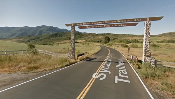 "Satwiwa" is Chumashan and directly translates to "the bluffs," which can also translate to "higher places," and is the Chumashan name used for a former village near the current culture center. The Ranch Overlook Trail extends from just west of the culture center to the Palomino Trail in the Rancho Potrero Open Space. https://www.conejovalleyguide.com/dosomethingblog/ranch-overlook-trail-in-rancho-sierra-vistasatwiwa-in-newbury-park This […] |
0 hikes,
|
3 hikes,
-
 Although this ride is a loop around Bard Lake, you'll never be close enough to see the lake. We'll get some dirt roads in before finishing most of the ride on streets. Make sure you have Tannus inserts, green slime or FlatOut in your inner tubes to avoid flats. MEETUP LOCATION AND TIME: At Lang […]
-
We will start on Kanan at Newton Canyon and hike to Latigo Canyon Rd. It is a little steep at the beginning but then turns into a nice hike. This hike is about 6 miles with about 1000’ gain and will take us on a less-traveled but quite beautiful part of the 67-mile Backbone trail. […]
-
 NOTE: This hike has lots of trees. We will start at 8:30. We will begin in the parking lot at the end of Moorpark and walk down the street to the Las Padres trail. From there we will loop around and come back to the Moorpark trailhead via the Los Robles trail. Some hikers may […] |
1 hike,
-
 3.25 miles out and back, 600' gain, Easy Intermediate. Many people will be viewing the fireworks from this location, and enjoying a picnic at the top. Easier Option (unhosted): 2.4mi, 550' gain. (link to map). 497 Hillsborough St, Thousand Oaks, CA 91361 We'll start by entering the Los Padres trail, through a spooky oak covered […] |
3 hikes,
-
We are going to be starting at the Canyon View Staging Area. This hike will be about 6.2 miles with around 1,000 ft. of elevation gain. We will be starting at Canyon View Park and taking Cholla up to West Ridge and comic down Mathis. Link to Parking from Google Maps: https://www.google.com/maps/place/Canyon+View+Staging+Area/@33.585273,-117.7465062,17z/data=!3m1!4b1!4m5!3m4!1s0x80dce61b6bd45c2d:0x5ef3f1ad687cc8b5!8m2!3d33.585273!4d-117.7443175 Dogs are not […]
-
 DESCRIPTION: This is a beautiful area containing 37 types of endangered species. It is prime yellow-legged frog and Arroyo Toad Habitat. Bring your camera. Not only is the area beautiful, but you might see some of the endangered species along the way. Please stay on the trails here and watch where you step during the […]
-
 This ride will have us e-biking on very easy dirt forest service roads south of Big Bear Lake. Make sure you bring along a spare inner tube. Also, check your bike out at home to make sure it's in working order and tires inflated before you arrive at the meetup location. MEETUP LOCATION: RESTROOMS at […] |
2 hikes,
-
 The hike we will be doing is approximately 5 miles with 870 ft. of elevation gain. We will begin at the Live Oak Trail trailhead. This is where you will see on the map that the Live Oak Trail hits the paved road. This is the parking lot closest to the Edna Spaulding Trail. (There […]
-
 Join us as DSB celebrates and reinvents the timeless music of the legendary Journey Tribute followed by patriotic drone show! Let's enjoy potluck picnic before the concert. If your item requires utensils, please supply them. You may wish to bring your own cup, plate, and utensils in case there aren't any. Snacks and/or beverages to […] |
Trail statistics are approximate. For safety purposes always assume they are underestimated. But don’t be disappointed if they are overestimated. Bring more water and snacks than you think you’ll need. Trail descriptions are based on previous hikes. Current conditions are unknown until arrival. Expect the unexpected and plan accordingly. The Organizers and members of Hiking With Dean are not professional leaders, guides, or mountaineers. The function of the member or organizer is only to organize the trip. Each person who shows up for a trip/meetup (and their guest or guests) is responsible for his or her own safety. By attending a hike, or any other event organized by this group, you are acknowledging that you and any guests that you bring are aware of the risks, dangers and hazards associated with the activity and freely accept and fully assume all such risks, dangers and hazards, and further agree to release and discharge the Organizers, Members of the Hiking With Dean Meetup Group from and against any and all liability arising from your participation in the group activities per our ASSUMPTION OF RISK AND LIABILITY WAIVER and Section 6.2 of the Meetup.com Terms of Service. |


Recent Comments