

REI's Outlet Event starts today! Promo Codes and details are at the HWD web site. REI Co-op Members will save an extra 25% on 6 great brands. While you are there, visit my curated REI product page here

Monday |
Tuesday |
Wednesday |
Thursday |
Friday |
Saturday |
Sunday |
|---|---|---|---|---|---|---|
1 hike,REI's Outlet Event starts today! Promo Codes and details are at the HWD web site. REI Co-op Members will save an extra 25% on 6 great brands. While you are there, visit my curated REI product page here |
0 hikes,
|
0 hikes,
|
1 hike,
-
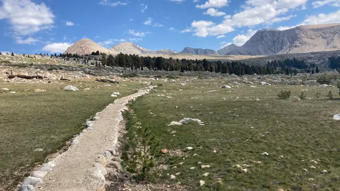 S22 (Montezuma Valley Rd) to Warner springs (8 miles) with car staging on March 1. This is a short and easy PCT stretch to enjoy the start of the super bloom. We would start at Barrel Spring and then hike north to Warner Springs. Parking available at Barrel springs and “Pacific Crest Trail Parking Access […] |
1 hike, Ski Downhill or Snowboard on Mammoth Mtn. Daily backcountry ski tours and snowshoe tours with the leaders. XC Ski or Snowshoe on your own at Tamarack Nordic Center. Newcomers & non-skiers Welcome. Tons of stuff to do in Mammoth in Winter. Quality Inn lodging, two per room, 2 beds/private bath, close to shopping, night life, […] |
2 hikes,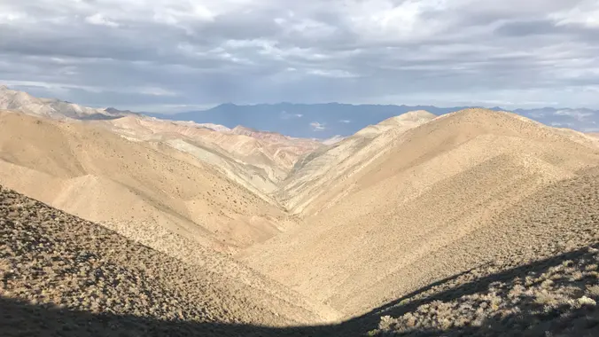 This is a great desert backpacking trip. One of only a few in Death Valley with water and the only loop that I know of. Mid-February should be a good chance to catch the wildflowers as well. Check out the photos from the last three trips: Fall 2016 trip: https://www.meetup.com/SanDiegoBackpackers/photos/235721845/ Fall 2017 trip: https://www.meetup.com/sandiegobackpackers/photos/28397936/ Winter […] | |
|
0 hikes,
|
0 hikes,
|
0 hikes,
|
0 hikes,
|
0 hikes,
|
0 hikes,
|
1 hike,
Featured
-
Featured
After 3 exploratories I believe I have come up with one of best hikes in the Santa Monica Mountains (and beyond). We'll be using a combination of park trails and secret trails to connect CircleX Ranch with the Boney Mountain State Wilderness and bag 7 peaks, (or less depending how we feel 😲) . A […] |
|
0 hikes,
|
0 hikes,
|
0 hikes,
|
0 hikes,
|
0 hikes,
|
2 hikes,
Featured
-
Featured
Zuma Canyon is distinguished for being one of the deepest gorges in the Santa Monica Mountains and, unlike Topanga or Malibu Canyons, has never suffered incursion by a major road. We'll start at Lower Zuma Canyon and take the Zuma Loop trail west to the Zuma Ridge trail. The views improve as the trail climbs, […]
-
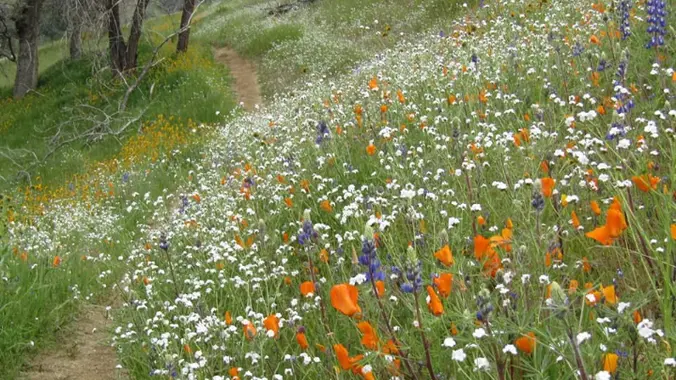 Come hike along the Kern River Trail (Flower Trail 🌷🌺🌼) to Democrat Dam. The hike is about 11 miles total to the Dam and back. It is moderate in difficulty, but subtable for new hikers. We will hike to the Dam and have a long lunch break. Then return hike to the trailhead. More specifics […] |
0 hikes,
|
|
0 hikes,
|
0 hikes,
|
0 hikes,
|
0 hikes,
|
0 hikes,
|
7 hikes, This is an exploratory trip. The plan is to hike up Hellhole Canyon and past Maidenhair Falls to the 30 foot waterfall described in Afoot and Afield. It must be pretty gnarly since the description appears to have been removed from the latest edition. There is a campsite described in the book. We may also […]  Many from this group, plus other friends, will attend this event at Sagebrush Cantina. Sagebrush Cantina has changed the band from Hindsite, to Little Alice & the Cats. I don't know the circumstance surrounding the change but I'm going to keep the event up for those that still want to have a fun time at […] 
Featured
-
Featured
Our hike will consist of traveling along the Dean's Cut trail connecting the underbelly of Las Virgenes and Cheseboro Canyons. The star of this hike is Mt Basura, known for its year-round snow-less skiing. We'll take or break here. Note: this hike was a VIP hike. Now my overgrown secret trail is wide open and […]
-
 ***** RAIN OR SNOW FALLING AT TRAILHEAD CANCELS THIS HIKE ****** About the hike: Conditioning Hike. Moderate (for the Gain and distance) Kagel Mountain is a small mountain located in the San Fernando Valley above Sylmar. It is know as a great place to hang glide and we will be hiking out and back to […]
-
 This hike is so cool! It's a good distance with little elevation gain and it is beautiful. This hike will take us to the Brown Mountain Dam Waterfall. The hike is an out and back at around 8.7 miles total with 650 ft. of elevation gain, so not steep! This area of the Angeles National […] |
4 hikes,
-
 https://www.alltrails.com/trail/us/california/wildlife-trail--3?u=i Hello Fellow Hikers, If you haven't had the pleasure of hitting the Wildlife trail then now is your time. The poppies are in bloom and this trail will put us in the middle of them. The first part of this trail ( Wildlife Trail ) is a butt kicker however its only about 1.25 […]
-
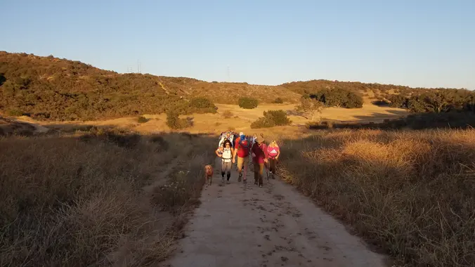 Let's sing and hike after the rains and enjoy potluck picnic 🥂♥️ 3.5 miles, 700' gain, Easy Intermediate. Easy Option: 2.4 miles, 285' gain, Fit Beginner. We'll start by entering the Los Padres trail, through a spooky oak covered section, then move through until we come to a dead end. We'll turn right, and climb […] |
1 hike,
-
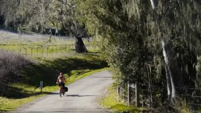 Spring has arrived and a great place to enjoy it is the serene countryside outside of Solvang. There are two roads outside of Solvang that we will be taking. The first is Refugio Rd. which follows Quiota Creek and is rimmed by mature oaks as it makes its way up to eventually West Camino Cielo. […] |
4 hikes,
-
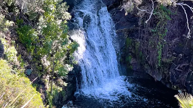 Wildwood Park in Thousand Oaks is one of the most versatile local parks there is, with 27 miles of trails skittering through rocky cliffs, cacti-filled desert environs, volcanic rock, riparian forest, and a cool, watery canyon. Highlights of the hike include waterfalls incorporating 40’ Paradise waterfalls along with a long creek, Indian caves, volcanic rock […]
-
 http://photos1.meetupstatic.com/photos/event/b/f/8/6/event_22189030.jpeg Space Mountain is the name for Los Robles Trail West, starting at Moorpark Road in Thousand Oaks and switchbacking up the hill to the west. No one seems to know why it's called Space Mountain, though maybe the Disney ride inspired it. Maybe former major league pitcher Bill "Spaceman" Lee had something to do […]
-
Hoping we can squeak this in before the rain. Please check around 4 p.m. to see if the hike is still on as rain will cancel the hike. Please read these restrictions before signing up. Pandemic conditions and restrictions apply for your safety and ours: Don't sign up unless you are two weeks past your […] |
1 hike,
-
 This year's COSF Speaker Series theme is "Sustainability" Please join Conejo Open Space Foundation's live online presentation by a panel of three local experts who will discuss how residents can help reduce the amount of household waste that ends up in our landfills. Register through the COSF site, not via Meetup! Included will be discussions […] |
1 hike,
-
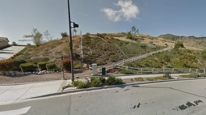 Thursday's forecast is for 50% chance of rain. If it's raining at 7:30 a.m., the hike will be cancelled - please check before departing for the trailhead. For our Thursday Gentler hike, we will hike the Powerline Trail to Conejo Peak, including a brief stop at the "teardrop" loop below the final (and skippable) climb […] |
1 hike,
-
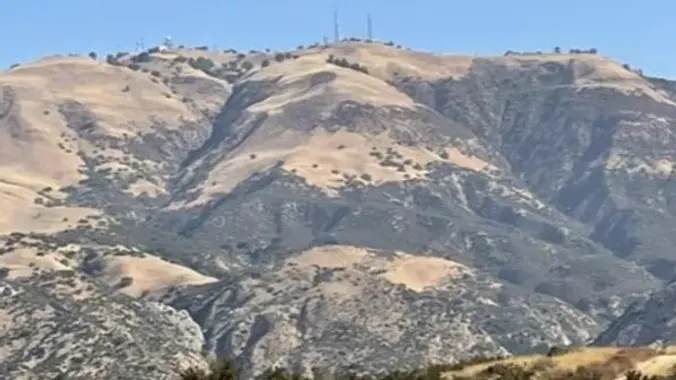 This Ebike ride will be on paved roads in the Porter Ranch area. We'll be taking the Brown Canyon Road all the way to the top (Oat Mountain) which has an average grade of 12%. This will be a challenge for our ebikes. If you haven't done this before, it will be a good test […] |
5 hikes,
-
 NEW Lollipop: PCT to Spruce Draw then hiking the Leona Divide Fire Rd west to the intersection of Lake Hughes Truck Trail; We will take a snack break at the Intersection then return counter-clock wise hiking east on the PCT back to our cars on San Francisquito Cyn Rd. DISTANCE / GAIN: ~ 8.5 miles […]
-
This hike will be about 5.4 miles total with 820 ft. of elevation gain. We are starting at the parking lot at the Wahoo's parking lot. We will take Live Oak Trail. This turns into Serrano Road which will take us to Serrano Cow Trail. At this part of the trail, we usually see a […]
-
 PIER TO PEAK WALKABOUT IN THE DOWNTOWN VENTURA AREA! JOIN THE GROUP WHEN/WHEREEVER YOU CAN/WANT... Times given are my best guesstimate for movement between the stated destinations, including loitering time. This timing is delayed 30 minutes from last time and should work well, especially for those not paying for the Wine Walk. Someone in the […] |
2 hikes,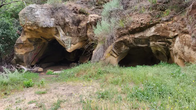
Featured
-
Featured
This hike has just about everything: Caves, creeks, waterfalls, velvety meadows, flowers, sandstone formations and artifacts. We start at Dayton Canyon Park then loop around the Woolsey Canyon Open Space Dayton Canyon Park is 276 acres recently given to the Santa Monica Mountains Conservancy by the Sterling Homes development at the bottom of the canyon. […]
-
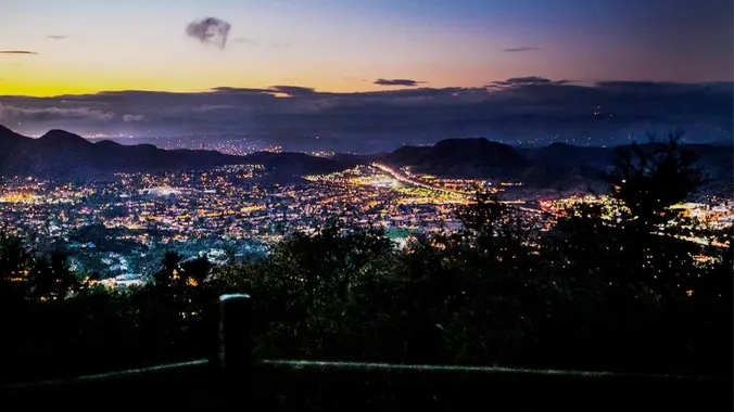 3.0 miles, 800' gain, easy-intermediate. Let's enjoy the gorgeous sunset and "Pink Moon", the April full moon, at the beautiful Angel Vista! This hike is rated easy-intermediate because it is a continuous incline for 1.5 miles. This isn't real steep, but it is continuous, and many beginner hikers have indicated this should be rated intermediate. […] |
Trail statistics are approximate. For safety purposes always assume they are underestimated. But don’t be disappointed if they are overestimated. Bring more water and snacks than you think you’ll need. Trail descriptions are based on previous hikes. Current conditions are unknown until arrival. Expect the unexpected and plan accordingly. The Organizers and members of Hiking With Dean are not professional leaders, guides, or mountaineers. The function of the member or organizer is only to organize the trip. Each person who shows up for a trip/meetup (and their guest or guests) is responsible for his or her own safety. By attending a hike, or any other event organized by this group, you are acknowledging that you and any guests that you bring are aware of the risks, dangers and hazards associated with the activity and freely accept and fully assume all such risks, dangers and hazards, and further agree to release and discharge the Organizers, Members of the Hiking With Dean Meetup Group from and against any and all liability arising from your participation in the group activities per our ASSUMPTION OF RISK AND LIABILITY WAIVER and Section 6.2 of the Meetup.com Terms of Service. |
 MRCA Park Closures and Re-Openings
June 17, 2025
MRCA Park Closures and Re-Openings
June 17, 2025 Back to the Future
May 28, 2023
Back to the Future
May 28, 2023 Chivo Canyon to Coquina Mine
May 21, 2023
Chivo Canyon to Coquina Mine
May 21, 2023 Mission Point the Hard Way
May 12, 2023
Mission Point the Hard Way
May 12, 2023 Lower Zuma Canyon – Big Loop
March 24, 2023
Lower Zuma Canyon – Big Loop
March 24, 2023
Recent Comments