

9 hikes found.

Hikes
 Rancho Sierra-Vista/Satwiwa Lynn Road and Via Goleta, Newbury Park, CA, US
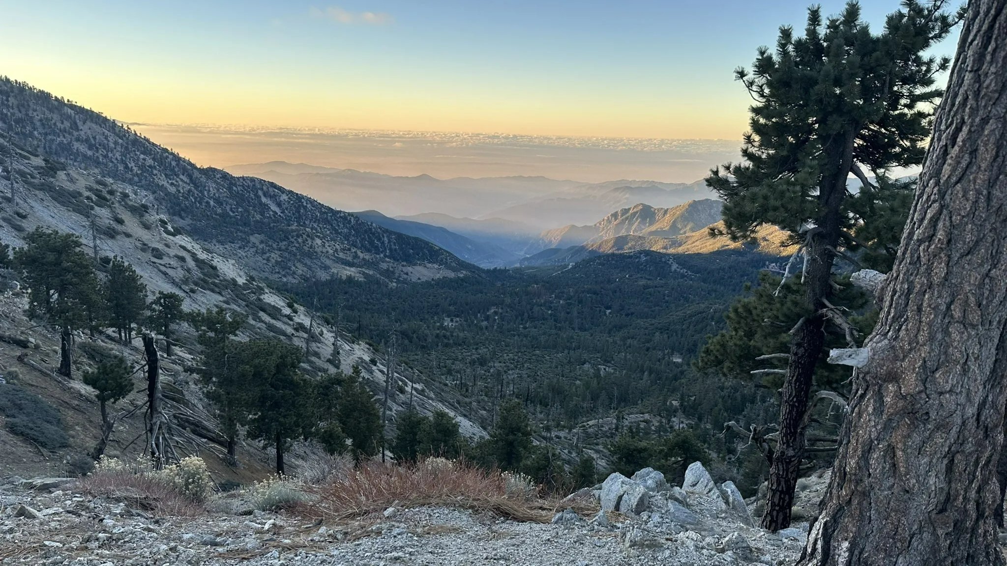
Crystal Lake to Throop Peak
Paramount Ranch 2903 Cornell Road, Agoura, CA, USDESCRIPTION: This is a scouting hike on a trail that’s new to me, so spots are limited. RSVPs will be waitlisted, and I’ll confirm attendees after a quick look at […]

🏫A Back to School Hike to the CLU Rocks
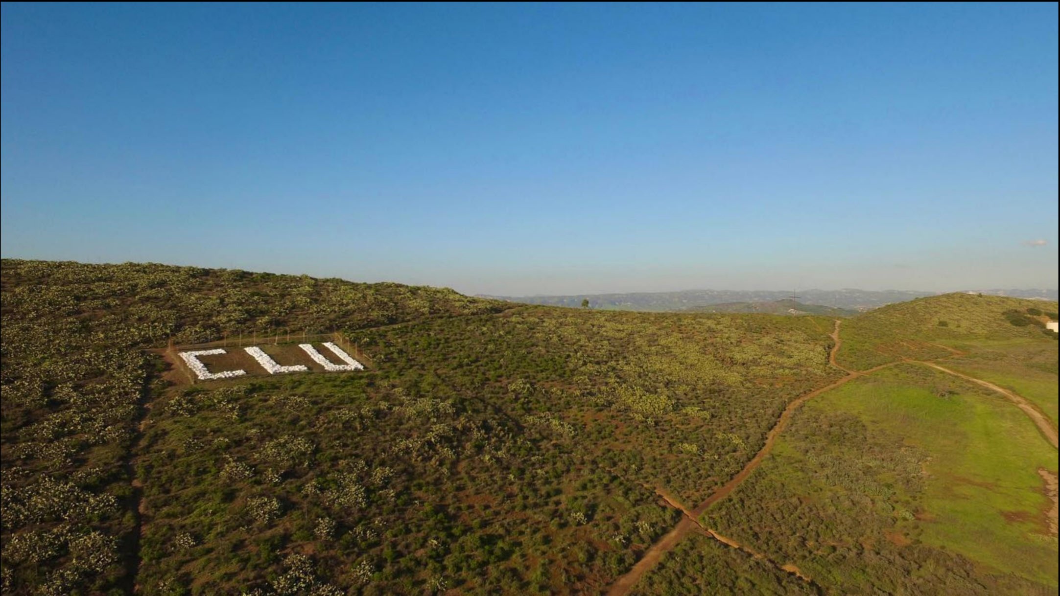
Wildflower Playfield - HWD 635 W. Avenida de Los Arboles, Thousand Oaks, CA, USThe "CLU" rocks are located on Mount Clef Ridge overlooking the Cal Lutheran University campus. They have been a fixture of CLU's landscape since its second academic year (1962). Every […]

Early Hike at Whiting Ranch – Wahoo’s Parking Lot (Cactus Hill/Whiting Road)
Wahoo's Fish Taco 27412 Portola Parkway, Foothill Ranch, CA, USThis hike will be about 5.4 miles total with 820 ft. of elevation gain. We are starting at the parking lot at the Wahoo's parking lot. We will take Live […]

OXNARD-CHANNEL ISLANDS & VENTURA HARBOR
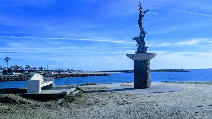
San Buenaventura State Beach San Pedro Street and Pierpont Boulevard, Ventura, 93003, CA, USROUTE < This is the route we will be riding We can have a cool ride along the coast between Ventura and Oxnard versus an inland route where the temps […]

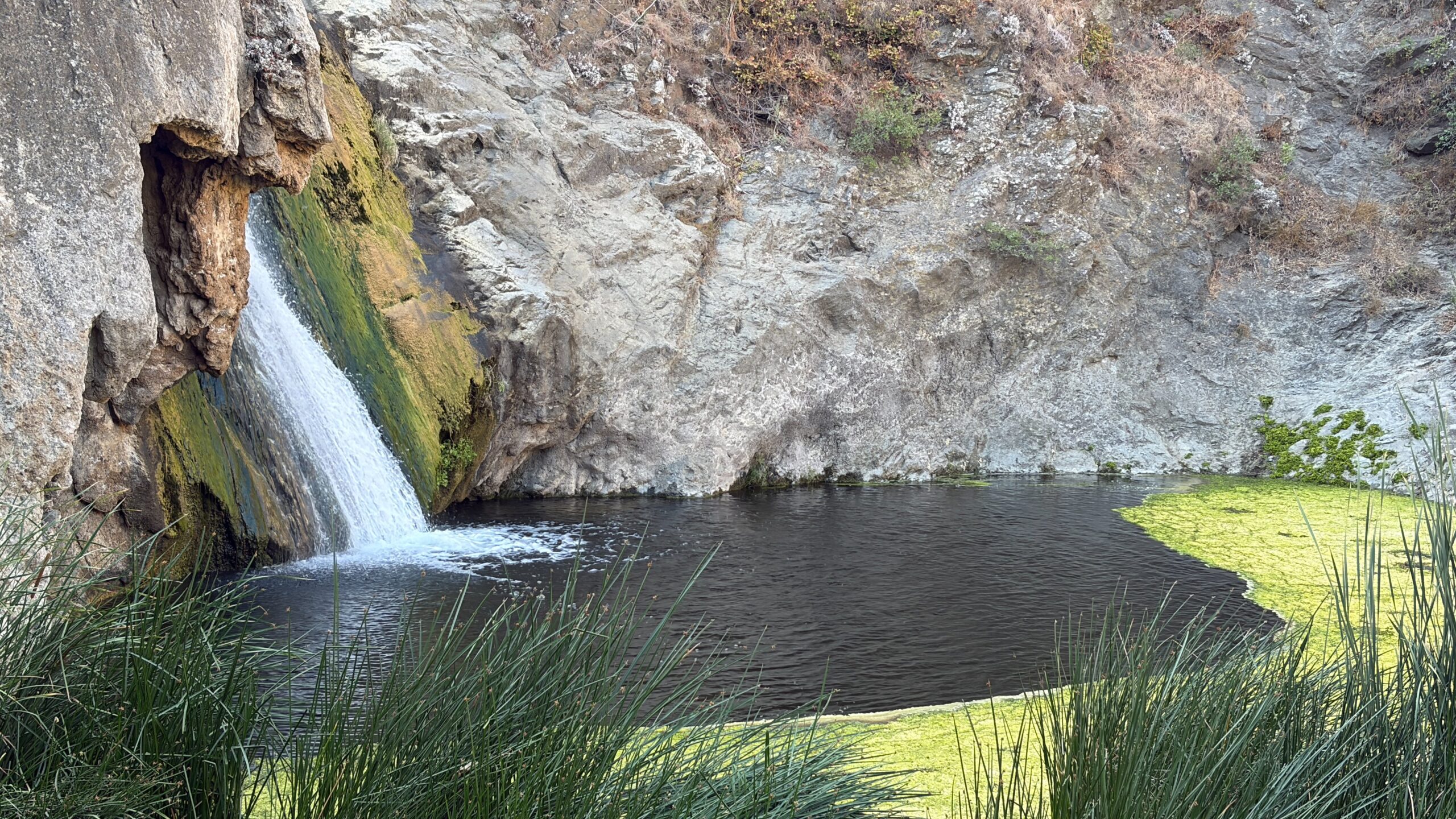
Wildwood Canyon Waterfall Hike
Canna St and Timberwood Ave. 2800 - 2810 Canna St, Thousand Oaks, CA, USAttention! New Trailhead. This will be the second time for this special Wildwood Park hike where we will start at a different trailhead located at Canna St. and Timberwood Ave. […]

8 mile ~ Encinal Canyon to Top of the World ~ Intermediate Hike
Encinal Canyon Road Backbone Trail 1097 Encinal Canyon Road, malibu, CA, USEncinal Canyon is named for encina, the Spanish word for the holm oak, a lovely Mediterranean tree with holly characteristics. Holm oaks are one of the main trees used to […]
API Test
Museum of Ventura County 100 East Main Street, Ventura, CA, USignore this. Attend at your own risk 🙃

SANTA BARBARA LOOP
San Buenaventura State Beach San Pedro Street and Pierpont Boulevard, Ventura, 93003, CA, USNow that the weather is cooling down a bit, let's get a ride in the hills above Santa Barbara which takes us through it's beautiful homes and estates. The ride […]

Trail statistics are approximate. For safety purposes always assume they are underestimated. But don’t be disappointed if they are overestimated. Bring more water and snacks than you think you’ll need. Trail descriptions are based on previous hikes. Current conditions are unknown until arrival. Expect the unexpected and plan accordingly. The Organizers and members of Hiking With Dean are not professional leaders, guides, or mountaineers. The function of the member or organizer is only to organize the trip. Each person who shows up for a trip/meetup (and their guest or guests) is responsible for his or her own safety. By attending a hike, or any other event organized by this group, you are acknowledging that you and any guests that you bring are aware of the risks, dangers and hazards associated with the activity and freely accept and fully assume all such risks, dangers and hazards, and further agree to release and discharge the Organizers, Members of the Hiking With Dean Meetup Group from and against any and all liability arising from your participation in the group activities per our ASSUMPTION OF RISK AND LIABILITY WAIVER and Section 6.2 of the Meetup.com Terms of Service. |

Recent Comments