Site Search

Hiking Calendar

Chumash trail

Chumash Park 3200 Flanagan Dr, Simi Valley, CA, US

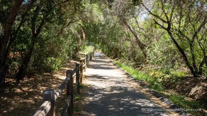
https://www.rsrpd.org/simi_valley/trails/chumash_park_and_trail.php Ok y’all the heat has arrived so we are gonna do this one a little earlier as it is a little longer then Tapo with a little more elevation […]

Journey to the Center of the City – Franklin Canyon

Franklin Canyon Park - Ranch 1936 Lake Dr, Beverly Hills, CA, CA

This HDW original is a classic. On this 6 mile hike I will take you through Franklin Canyon and then a bit off-trail to the "planar" center of Los Angeles. […]

Modern Platinum Groove – Variety Band, Potluck Picnic

1765 Royal Ave 1765 Royal Ave, Simi Valley, CA, US

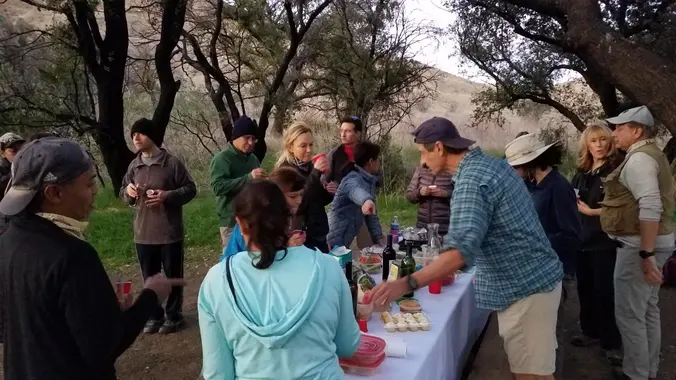
Many of us from this group will attend this event. Please bring food and drinks to share. If your item requires utensils, please supply them. **Concert starts at 6:30p.** Free […]

Tapo Canyon Trail

Tapo Canyon Road Tapo Canyon Rd, Simi Valley, CA, US

https://www.alltrails.com/trail/us/california/tapo-canyon-trail?u=i Starting at 7:30 instead of 8:00 due to the heat wave this weekend… Hello fellow hikers, The heat is here but we still need to keep moving so the […]

Hawk Canyon lollipop – Pot Luck hike

Conejo Canyons Trail Head 2010 Conejo Center Dr, Thousand Oaks, CA, US

4.2 miles, 700' gain, easy-intermediate. Easier option: 2.7 miles, 500' gain, fit beginner. This is a pot-luck hike. We'll be stopping at the 3/4 point by a picnic table, so […]

Challenging Steep Sunset Night Hike:Teepee Loop off of Mt. Lukens Truck Trail

Parking Lot at Angeles Crest Hwy & Mt Lukens Truck Trail Angeles Crest Hwy & Mt Lukens Truck Trail, La Cañada Flintridge, ca, US

STATS Difficulty: 4/10, Moderate but steep uphill Length: 3.2 miles, 1.5 hours plus breaks Elevation gain and loss: 1,150 Ft View: Mountains & City Lights Details: Steep uphill, great view […]

MOUNT BADEN POWELL VIA THE BIG HORN MINE – The quest ends

Wrightwood Elementary School 1175 CA-2, Wrightwood, CA, US

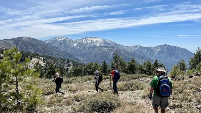
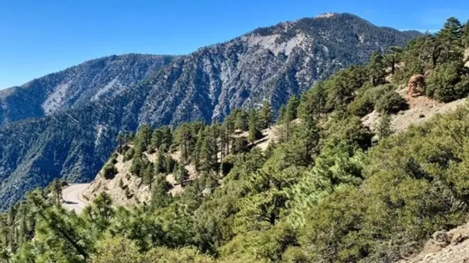
------------------------------------------------- THE QUEST ----------------------------------------- My pursuit of taking on Mount Baden Powell the hard way, via The Big Horn Mine on my 75th birthday, has finally arrived. Join me and […]

[asa2_collection tpl=”Flex_1″ orderby=”rand” limit=”4″]2[/asa2_collection]

Trail statistics are approximate. For safety purposes always assume they are underestimated. But don’t be disappointed if they are overestimated. Bring more water and snacks than you think you’ll need.

Trail descriptions are based on previous hikes. Current conditions are unknown until arrival. Expect the unexpected and plan accordingly.

The Organizers and members of Hiking With Dean are not professional leaders, guides, or mountaineers. The function of the member or organizer is only to organize the trip. Each person who shows up for a trip/meetup (and their guest or guests) is responsible for his or her own safety. By attending a hike, or any other event organized by this group, you are acknowledging that you and any guests that you bring are aware of the risks, dangers and hazards associated with the activity and freely accept and fully assume all such risks, dangers and hazards, and further agree to release and discharge the Organizers, Members of the Hiking With Dean Meetup Group from and against any and all liability arising from your participation in the group activities per our ASSUMPTION OF RISK AND LIABILITY WAIVER and Section 6.2 of the Meetup.com Terms of Service.