Site Search

Hiking Calendar

Upper Las Virgines Canyon to Sheep Corral Trail

Upper Las Virgenes Cyn Open Space Preserve LV Trailhead 6000 Las Virgenes Rd, Calabasas, CA

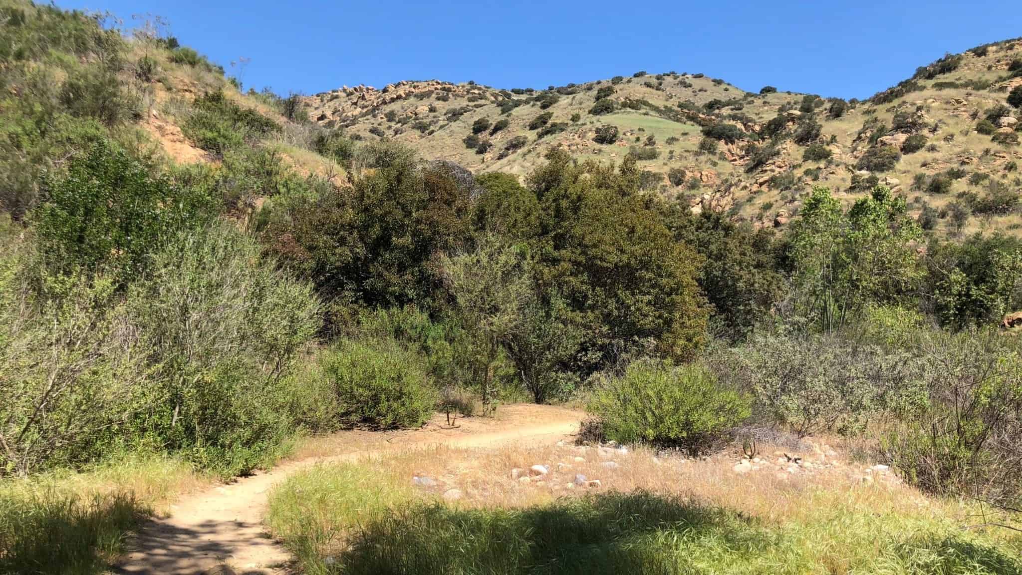
https://www.alltrails.com/trail/us/california/upper-las-virgines-canyon-to-sheep-corral-trail Hello Fellow Hikers,Okay this is a popular trail with both hikers and mountain bikers. The reason is because you feel like you are truly away from the hustle and […]

Mugu Peak to La Jolla Valley Loop

Chumash Trail Chumash Trail, Malibu, CA, US

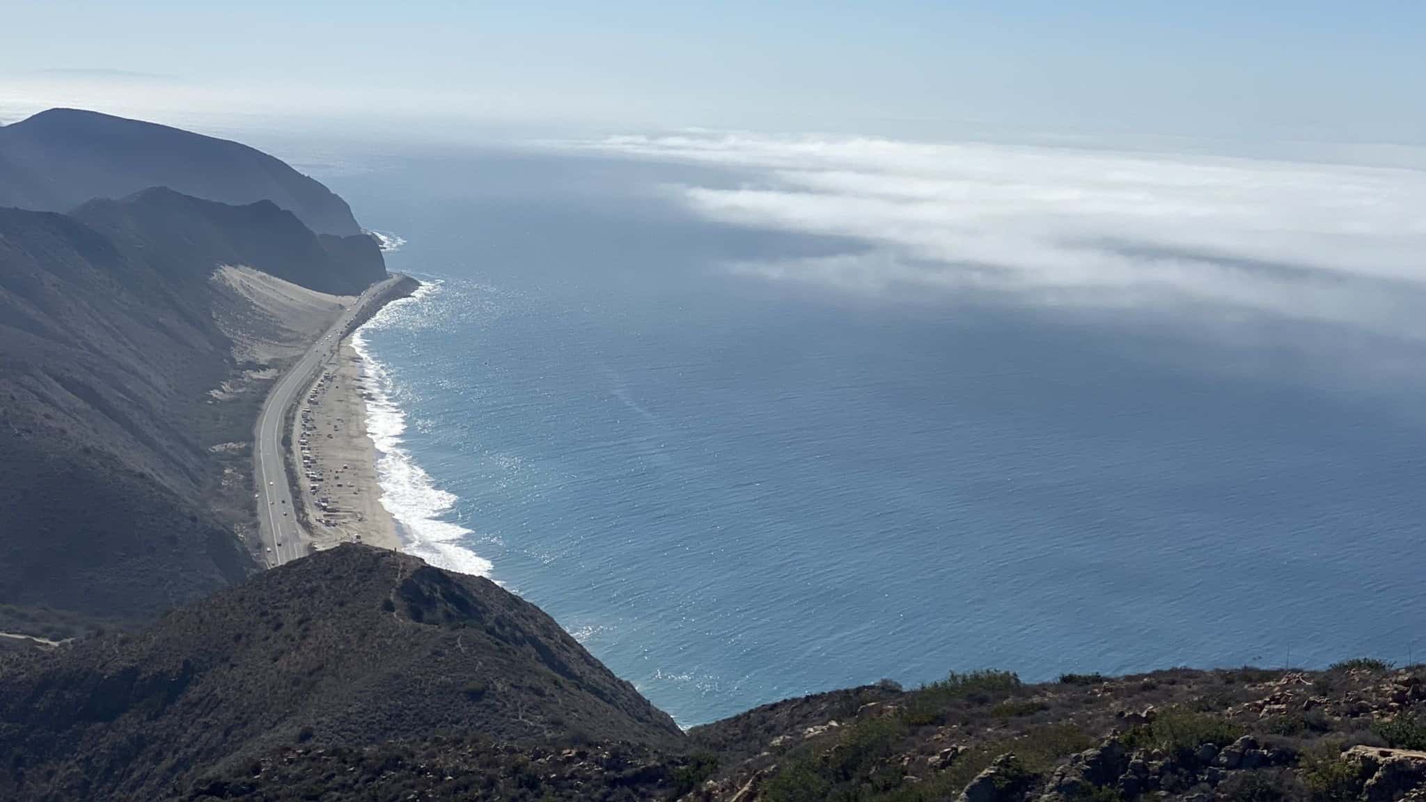
https://www.alltrails.com/explore/trail/us/california/mugu-peak-to-la-jolla-nature-preserve Hello Fellow Hikers,Okay talk about a calve burner! Yes this is rated moderate but the first part (the start) is straight up! Mugu Peak is 2.7 miles (round trip) […]

Stage Coach – Andora Trailhead – Easy Intermediate

9861 Andora Ave 9861 Andora Ave, Chatsworth, CA, US

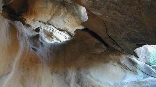
3.5 miles, 800' gain, easy intermediate.Note that we are going to start from the Andora trailhead instead of our usual starting place. This hike will include an extended stay at […]

Wildlife Rehabilitation at the California Wildlife Center

Online event

Join the Conejo Open Space Foundation for a live online presentation by Jenn Guess, Development Manager for the California Wildlife Center. Jenn will tell us about wildlife rehabilitation and release […]

THE UGLY XMAS SWEATER WALK on Candy Cane Lane

West Oxnard Street W Oxnard St, Los Angeles, CA, US

BEFORE YOU WILL BE MOVED TO THE GOING LIST, YOU WILL NEED TO UPDATE YOUR CDH PROFILE (The three questions must be answered with a "yes") IF YOU HAVE NOT […]

Caballero Canyon to Farmers Ridge

Caballero Canyon 4002 Reseda Blvd., Tarzana, CA, US

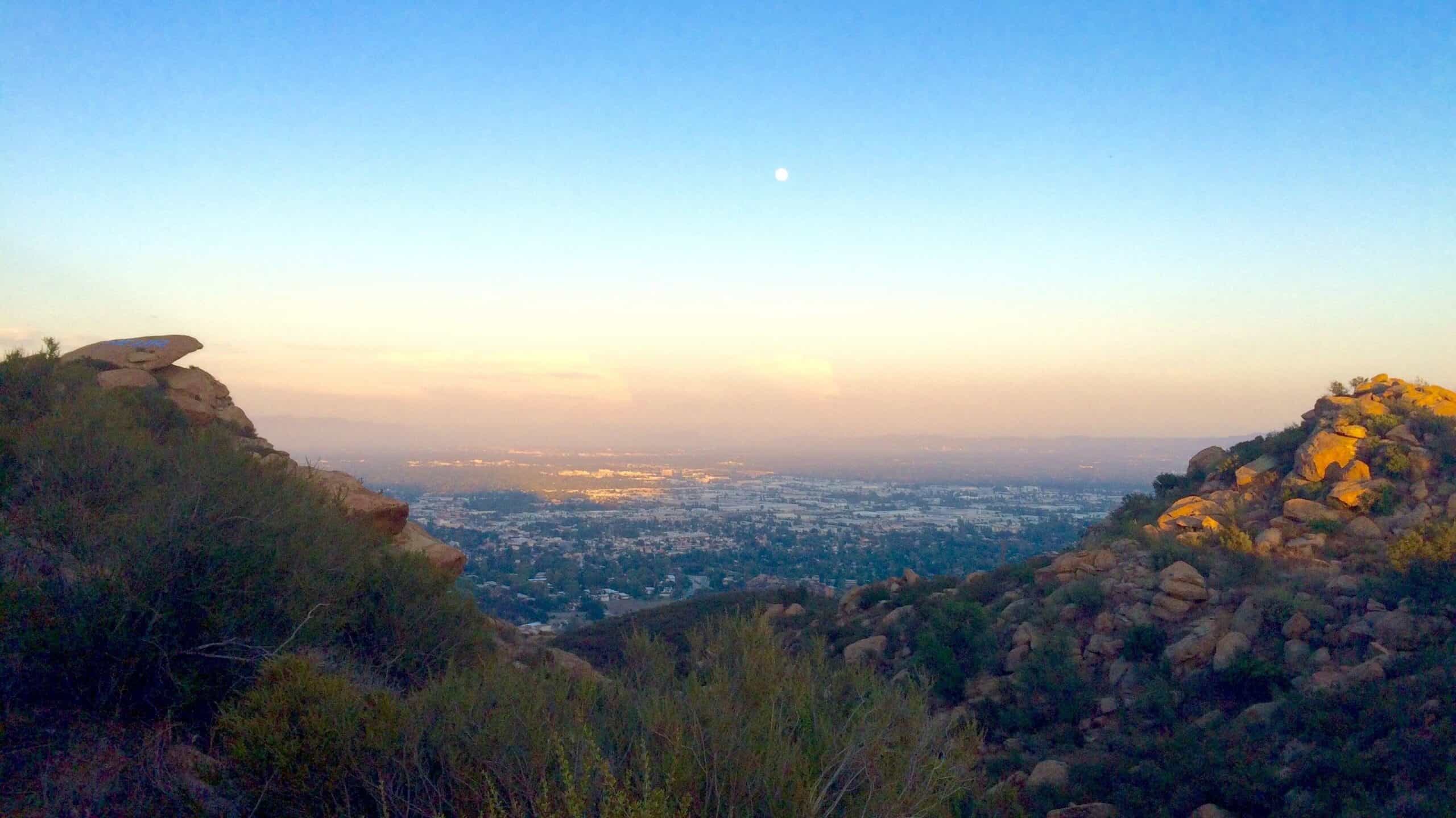
This is a great mid-range hike for folks who want some good exercise and at the same time enjoy the local beauty offered in the Santa Monica Mountains. Join us […]

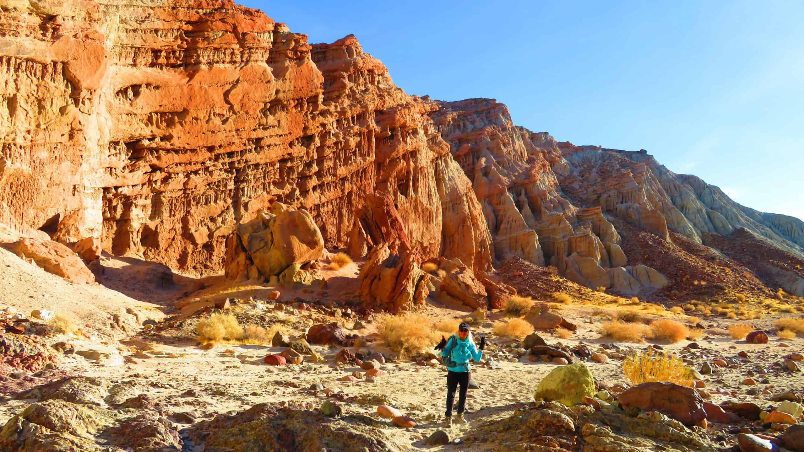
Nightmare Gulch Loop at Red Rock Canyon State Park

Red Rock Canyon State Park North Parking Lot (Staging Area) Aerospace Hwy, Cantil, CA, US

BEFORE YOU WILL BE MOVED TO THE GOING LIST, YOU WILL NEED TO UPDATE YOUR CDH PROFILE (The three questions must be answered with a "yes") IF YOU HAVE NOT […]

[asa2_collection tpl=”Flex_1″ orderby=”rand” limit=”4″]2[/asa2_collection]

Trail statistics are approximate. For safety purposes always assume they are underestimated. But don’t be disappointed if they are overestimated. Bring more water and snacks than you think you’ll need.

Trail descriptions are based on previous hikes. Current conditions are unknown until arrival. Expect the unexpected and plan accordingly.

The Organizers and members of Hiking With Dean are not professional leaders, guides, or mountaineers. The function of the member or organizer is only to organize the trip. Each person who shows up for a trip/meetup (and their guest or guests) is responsible for his or her own safety. By attending a hike, or any other event organized by this group, you are acknowledging that you and any guests that you bring are aware of the risks, dangers and hazards associated with the activity and freely accept and fully assume all such risks, dangers and hazards, and further agree to release and discharge the Organizers, Members of the Hiking With Dean Meetup Group from and against any and all liability arising from your participation in the group activities per our ASSUMPTION OF RISK AND LIABILITY WAIVER and Section 6.2 of the Meetup.com Terms of Service.