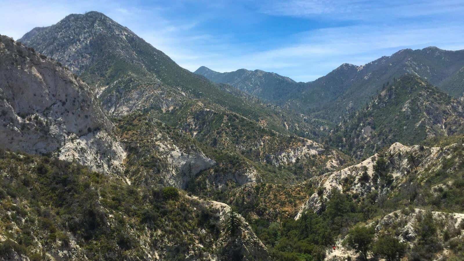
Mount Gleason Trail!
Okay all you backpackers and peak baggers this one's for you. Hiking a little known trail called Mount Gleason. This is a loooong one (18 miles) But the elevation gain […]

Okay all you backpackers and peak baggers this one's for you. Hiking a little known trail called Mount Gleason. This is a loooong one (18 miles) But the elevation gain […]
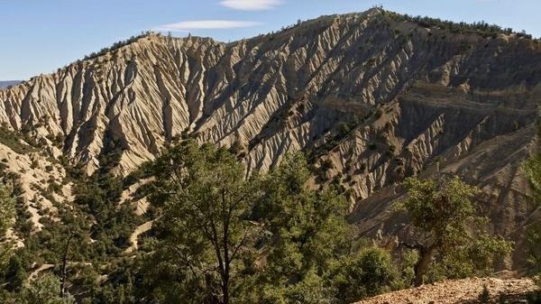
The weather is much better up there now, so I've set this trek up there again. BEFORE YOU WILL BE MOVED TO THE GOING LIST, YOU WILL NEED TO UPDATE […]
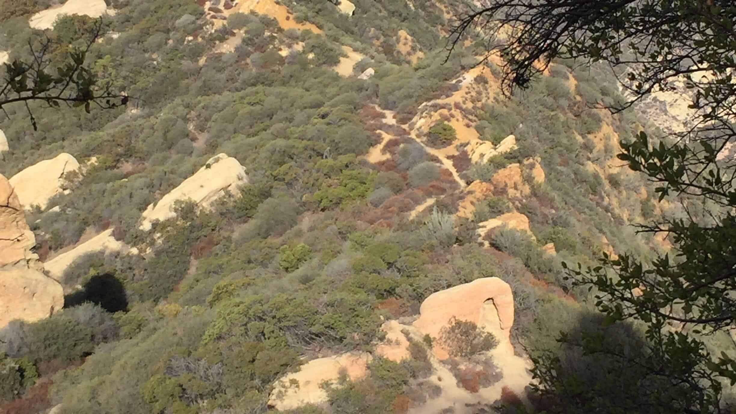
*** YOU MUST BRING A FACE COVERING to meet up at the trailhead and to use on trail when it is not possible to avoid close proximity to other hikers. […]

Take advantage of Osprey’s 40% off sale happening now while supplies last! The sale is valid on all past-season products and includes free shipping on all orders. Check it out […]
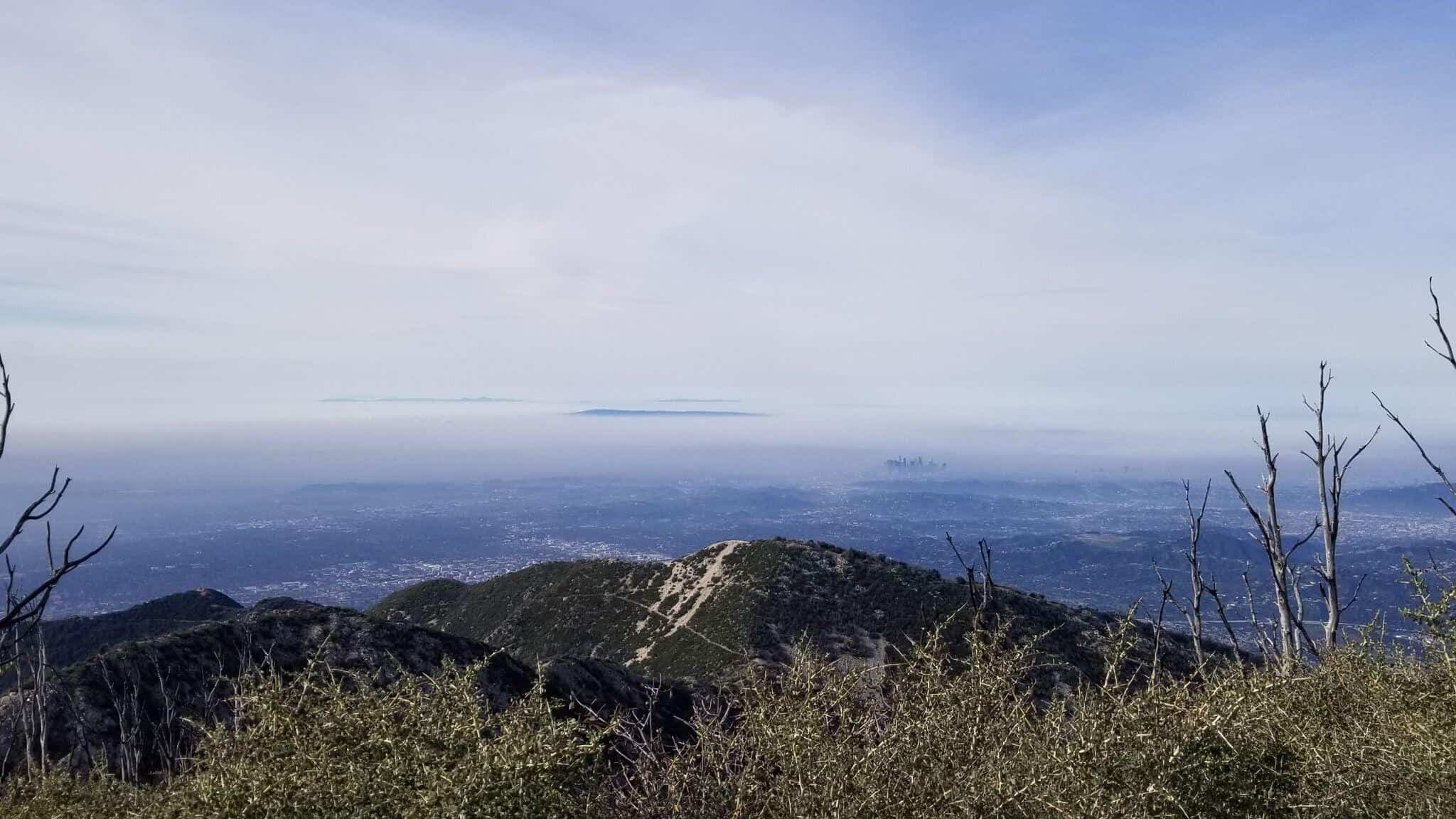
BEFORE YOU WILL BE MOVED TO THE GOING LIST, YOU WILL NEED TO UPDATE YOUR CDH PROFILE (The three questions must be answered with a "yes") IF YOU HAVE NOT […]

*** YOU MUST BRING A FACE COVERING to meet up at the trailhead and to use on trail when it is not possible to avoid close proximity to other hikers. […]

This may be the newest peak on the Sierra Club Angeles Chapter's Hundred Peaks list added in January 2014 by the Hundred Peaks' legendary exploratory couple: Peter and Ignacia Doggett. […]

https://www.alltrails.com/trail/us/california/simi-peak-trail?u=i Hello Fellow Hikers....Hiking Simi Peak in the Santa Monica Mountains from Oak Park. This route is less miles to the peak with a good amount of elevation gain. Meaning […]
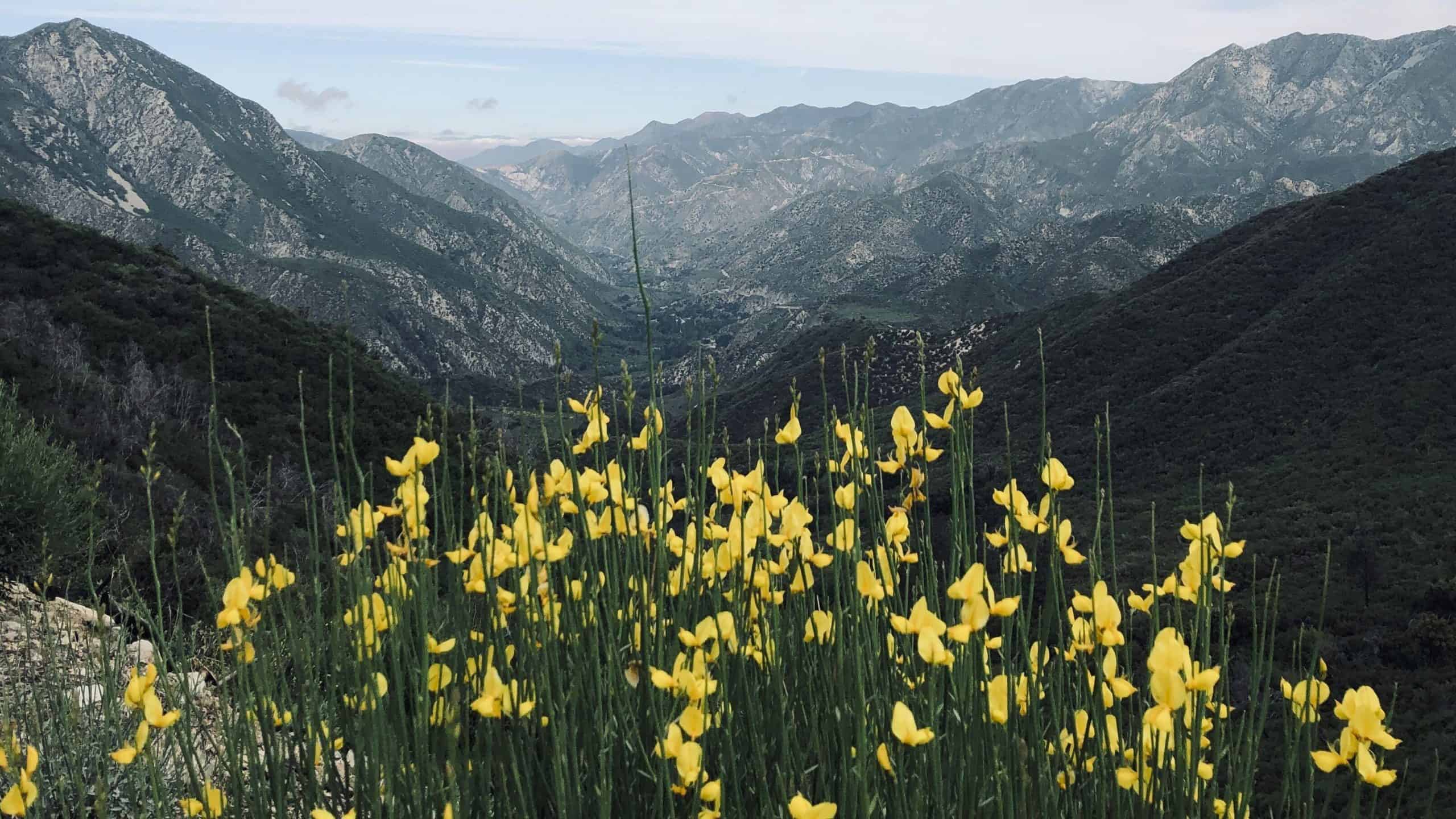
Distance: ~14 milesElevation gain: ~2,400 feetLevel: ModerateType: Out and BackTrail Type: some single track and fire roadRoute: Hoyt Mountain Road to Grizzly Flat Trail to Haines Canyon Motorway to Mount […]
[asa2_collection tpl=”Flex_1″ orderby=”rand” limit=”4″]2[/asa2_collection]
Trail statistics are approximate. For safety purposes always assume they are underestimated. But don’t be disappointed if they are overestimated. Bring more water and snacks than you think you’ll need. Trail descriptions are based on previous hikes. Current conditions are unknown until arrival. Expect the unexpected and plan accordingly. The Organizers and members of Hiking With Dean are not professional leaders, guides, or mountaineers. The function of the member or organizer is only to organize the trip. Each person who shows up for a trip/meetup (and their guest or guests) is responsible for his or her own safety. By attending a hike, or any other event organized by this group, you are acknowledging that you and any guests that you bring are aware of the risks, dangers and hazards associated with the activity and freely accept and fully assume all such risks, dangers and hazards, and further agree to release and discharge the Organizers, Members of the Hiking With Dean Meetup Group from and against any and all liability arising from your participation in the group activities per our ASSUMPTION OF RISK AND LIABILITY WAIVER and Section 6.2 of the Meetup.com Terms of Service. |
Meetuphikes.com is the brainchild of Dean, the founder and organizer of the Meetup hiking group Hiking With Dean. Here you will find past and upcoming Meetup group hikes from all over southern California. Don’t see your favorite group? Drop us a line and ask us to add it.
 MRCA Park Closures and Re-Openings
June 17, 2025
 Back to the Future
May 28, 2023
 Chivo Canyon to Coquina Mine
May 21, 2023
 Mission Point the Hard Way
May 12, 2023
 Lower Zuma Canyon – Big Loop
March 24, 2023
Recent Comments