Site Search

Hiking Calendar

Happy Camp 2 – Intermediate

Happy Camp Rustic Canyon 13650 Broadway Road, Moorpark, US

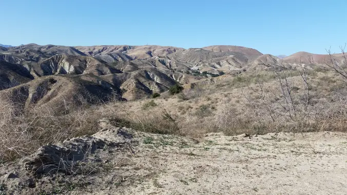
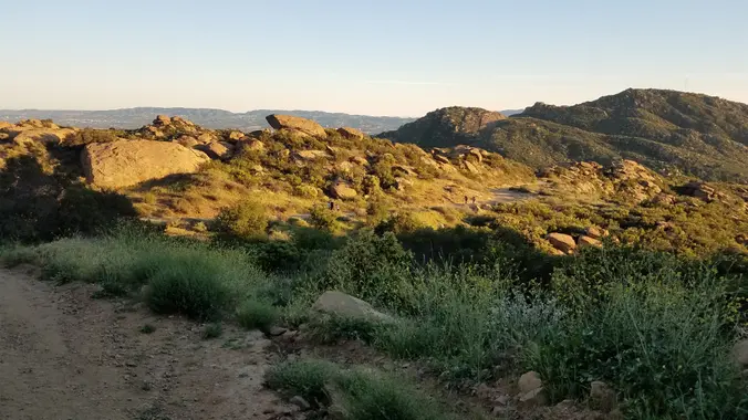
5.7 Miles, 1000' gain, Intermediate The starting point is NOT at the golf course entrance. It is at a dirt lot that can hold at least 50 cars. There is some real incline on this hike and a lot less trails coated with silt compared to the easier Happy Camp hike. Even though I have […]

EBIKE RIDE – Westridge-Canyonback Wilderness Park

Chatsworth Station 10040 Old Depot Plaza Road, Chatsworth, CA, US

Westridge-Canyonback Wilderness Park Here's a chance to get our mountain ebikes out on the dirt again. I posted the northern and southern Topanga State Park's loop in the past, now we'll take on a loop just east of these. It will involve street and dirt road riding. Make sure you bring along a spare inner […]

Hike at Boat Canyon to Bommer Ridge

Boat Canyon Trail 518 Dartmoor, Gate 14, Laguna Beach, CA, US

The total distance is around 4.6 miles with 870' of elevation gain. We will take Boat Canyon Trail up to Bommer Canyon. We will take Bommer to Water Tank trail. We will take this and then take a lower trail back to the beginning. Address: Dartmoor Trail Lookout Laguna Beach, CA 92651 https://goo.gl/maps/6N8c88XfdSeYu85M8 Dogs are […]

Lindero Canyon Road to Simi Peak OAB (Fast Paced)

Lindero Canyon & Wembly Lindero Canyon Road & Wembly Ave, Oak Park, CA, US

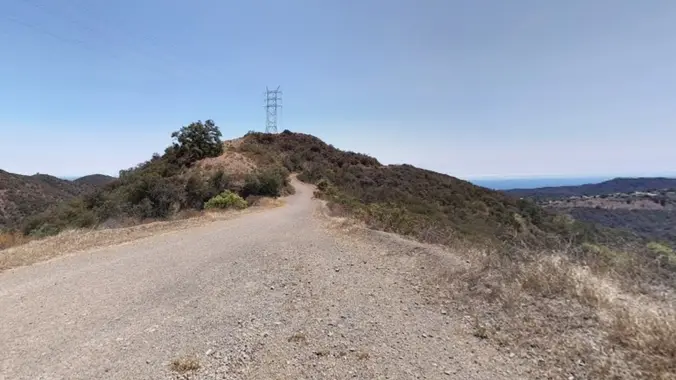
http://photos1.meetupstatic.com/photos/event/e/3/a/0/event_167038272.jpeg This hike has some rocky parts, but no scrambling. This hike will take us on a scenic trip from the suburbs of Oak Park to the top of Simi Peak, which overlooks both the Simi and Conejo Valleys and offers splendid views of the Santa Monica range and offshore islands to the south and […]

Gold Canyon Trail to Wildwood Park

646 San Andres Cir 646 San Andres Cir, Thousand Oaks, CA, US

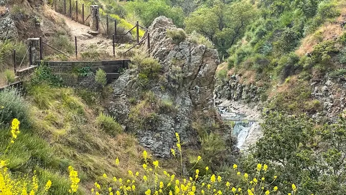
This hike starts at Gold Canyon Trail to Wildwood Canyon Trail and passes through various trails with a long creek, crossing streams and bridges, Indian caves, volcanic rock cliffs, water falls, cacti-filled desert environs, riparian forest, and wildflowers. Highlights of the hike include waterfalls incorporating 40’ Paradise waterfalls along tree canopies over approximately 5 miles […]

Stunt Road To Saddle Peak – (Gentle/Intermediate hike)

Stunt High Trailhead 1667 Stunt Rd, Calabasas, CA, US

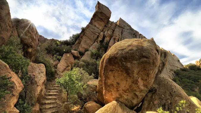
This hike will take us about 6.7 miles round-trip with 1600 feet of elevation gain on winding trails to dramatic rocky overlook with striking views of Saddle Peak, Stunt Ranch State Park, Calabasas Peak, and Old Topanga and Cold Creek Canyons. There are also longer vistas northwest into Ventura County and east to the San […]

Rocky Peak Modified – Easy Intermediate or Fit Beginner

Rocky Peak Trail 7900 Santa Susana Pass Rd, Simi Valley, CA, US

4 miles, 950' gain, Easy Intermediate 2 miles, 550', Fit Beginner We've been getting some rain. This one should be less muddy because the trail is hard, gravelly, and rocky. This is a modified version of the famous Rocky Peak hike. It gives those that want something easier, a chance to climb one of the […]

Hike to Bedford Peak – Santa Ana Mountains

Maple Springs Trailhead 31332 Silverado Canyon Rd, Silverado, CA, US

This hike will take us to the top of Bedford Peak. It will be an out and back hike at 7.4 miles total with 2,050 ft. of elevation gain. The peak has an altitude of 3,804 ft. This hike has great views of lots of the surrounding mountains and the ocean. Things to bring: lots […]

BACKBONE TRAIL – Encinal Canyon to Mishe Mokwa

Mishe Mokwa Trailhead Yerba Buena & Backbone Trail, Calabassas, CA, US

Our seventh Backbone Trail hike in the Santa Monica Mountains is 10 miles with 1400’ elevation gain on the BBT. We will take the Etz Meloy Trail, the newest addition to the BBT, starting at the Encinal Canyon trailhead. We will cross the Mulholland Highway and then take the Etz Moloy Trail, with views of […]

[asa2_collection tpl=”Flex_1″ orderby=”rand” limit=”4″]2[/asa2_collection]

Trail statistics are approximate. For safety purposes always assume they are underestimated. But don’t be disappointed if they are overestimated. Bring more water and snacks than you think you’ll need.

Trail descriptions are based on previous hikes. Current conditions are unknown until arrival. Expect the unexpected and plan accordingly.

The Organizers and members of Hiking With Dean are not professional leaders, guides, or mountaineers. The function of the member or organizer is only to organize the trip. Each person who shows up for a trip/meetup (and their guest or guests) is responsible for his or her own safety. By attending a hike, or any other event organized by this group, you are acknowledging that you and any guests that you bring are aware of the risks, dangers and hazards associated with the activity and freely accept and fully assume all such risks, dangers and hazards, and further agree to release and discharge the Organizers, Members of the Hiking With Dean Meetup Group from and against any and all liability arising from your participation in the group activities per our ASSUMPTION OF RISK AND LIABILITY WAIVER and Section 6.2 of the Meetup.com Terms of Service.