Site Search

Hiking Calendar

Gold Canyon Trail to Wildwood Park

646 San Andres Cir 646 San Andres Cir, Thousand Oaks, CA, US

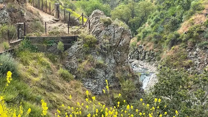
This hike starts at Gold Canyon Trail to Wildwood Canyon Trail and passes through various trails with a long creek, crossing streams and bridges, Indian caves, volcanic rock cliffs, water falls, cacti-filled desert environs, riparian forest, and wildflowers. Highlights of the hike include waterfalls incorporating 40’ Paradise waterfalls along tree canopies over approximately 5 miles […]

Stunt Road To Saddle Peak – (Gentle/Intermediate hike)

Stunt High Trailhead 1667 Stunt Rd, Calabasas, CA, US

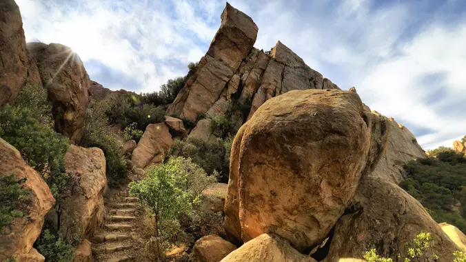
This hike will take us about 6.7 miles round-trip with 1600 feet of elevation gain on winding trails to dramatic rocky overlook with striking views of Saddle Peak, Stunt Ranch State Park, Calabasas Peak, and Old Topanga and Cold Creek Canyons. There are also longer vistas northwest into Ventura County and east to the San […]

Rocky Peak Modified – Easy Intermediate or Fit Beginner

Rocky Peak Trail 7900 Santa Susana Pass Rd, Simi Valley, CA, US

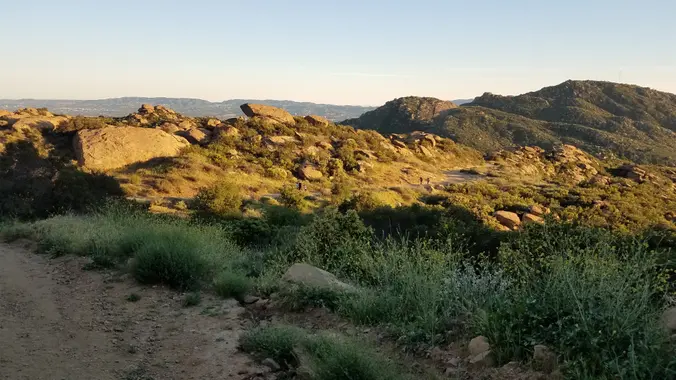
4 miles, 950' gain, Easy Intermediate 2 miles, 550', Fit Beginner We've been getting some rain. This one should be less muddy because the trail is hard, gravelly, and rocky. This is a modified version of the famous Rocky Peak hike. It gives those that want something easier, a chance to climb one of the […]

Hike to Bedford Peak – Santa Ana Mountains

Maple Springs Trailhead 31332 Silverado Canyon Rd, Silverado, CA, US

This hike will take us to the top of Bedford Peak. It will be an out and back hike at 7.4 miles total with 2,050 ft. of elevation gain. The peak has an altitude of 3,804 ft. This hike has great views of lots of the surrounding mountains and the ocean. Things to bring: lots […]

BACKBONE TRAIL – Encinal Canyon to Mishe Mokwa

Mishe Mokwa Trailhead Yerba Buena & Backbone Trail, Calabassas, CA, US

Our seventh Backbone Trail hike in the Santa Monica Mountains is 10 miles with 1400’ elevation gain on the BBT. We will take the Etz Meloy Trail, the newest addition to the BBT, starting at the Encinal Canyon trailhead. We will cross the Mulholland Highway and then take the Etz Moloy Trail, with views of […]

PCT: Indian Canyon to Vasquez Rocks

Vasquez Rocks Natural Area Park 10700 Escondido Canyon Rd, Agua Dulce, CA, US

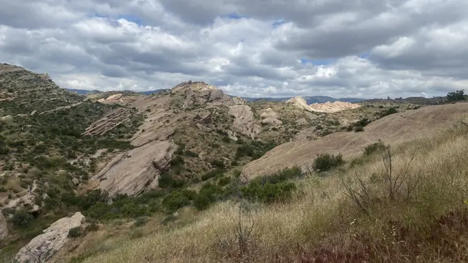
** Please read the entire description before you RSVP as things will be a little different with this hike ** https://www.alltrails.com/trail/us/california/pct-vasquez-to-indian-canyon?u=i&sh=aoxfvb Hello Everyone, We will be doing this hike northbound (opposite the AllTrails route). We will do close to 9 miles of the PCT. We will see some interesting rock formations including Three Sisters Rock […]

🚘 Back to the Future Hike at China Flat (& Simi Peak) – Lunch at Lamppost Pizza

Rock Ridge Open Space 5600 Hollytree Dr, Oak Park, CA

On this one, Marty McFly will be taking us to China Flat, the 1885 location of the Seamus McFly farm, Boothill Cemetery and the Delgado Mine. Seamus was/is/will-be Marty's great-great-grandfather. DeLoreans are no longer allowed on the trail so this will be a little strenuous. We're heading back to the future in more ways than […]

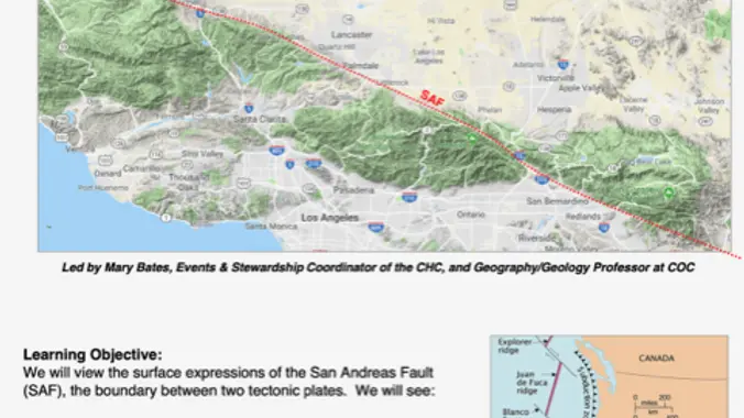
“It’s Not My Fault” – San Andreas Fault Field Trip

Carls Jr 49669 Gorman Post Road,, Gorman, CA, US

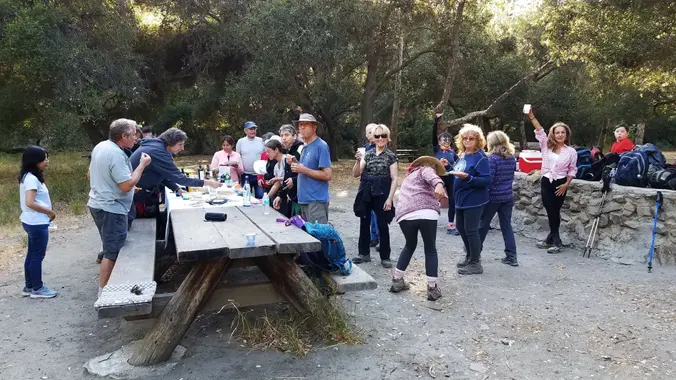
**PLEASE READ ENTIRE EVENT DESCRIPTION FOR LOCATION/ HOST IF YOU ATTENDED THE LAST FIELD TRIP FOR “ITS NOT MY FAULT” PLEASE DO NOT SIGN UP FOR THIS ONE. THIS WAS MEANT FOR THISE WHO WERE UNABLE TO ATTEND PREVIOUSLY. WE ARE LIMITING THIS TRIP TO 25 PEOPLE AND 10 CARS, SO IF YOU SIGN UP, […]

Wildwood Park – Las Flores potluck hike – Fit Beginner

604 W Avenida De Las Flores 604 W Avenida De Las Flores, Thousand Oaks, CA, US

Fit Beginner - 4 miles, 600' gain The gain is well distributed, with half being on the return. We start at the Las Flores trailhead where Las Flores dead-ends at Wildwood Park, and head west. After 1/3 mile, the trail becomes Wildwood Canyon Trail. We continue for another 2/3 mile and cross a bridge just […]

[asa2_collection tpl=”Flex_1″ orderby=”rand” limit=”4″]2[/asa2_collection]

Trail statistics are approximate. For safety purposes always assume they are underestimated. But don’t be disappointed if they are overestimated. Bring more water and snacks than you think you’ll need.

Trail descriptions are based on previous hikes. Current conditions are unknown until arrival. Expect the unexpected and plan accordingly.

The Organizers and members of Hiking With Dean are not professional leaders, guides, or mountaineers. The function of the member or organizer is only to organize the trip. Each person who shows up for a trip/meetup (and their guest or guests) is responsible for his or her own safety. By attending a hike, or any other event organized by this group, you are acknowledging that you and any guests that you bring are aware of the risks, dangers and hazards associated with the activity and freely accept and fully assume all such risks, dangers and hazards, and further agree to release and discharge the Organizers, Members of the Hiking With Dean Meetup Group from and against any and all liability arising from your participation in the group activities per our ASSUMPTION OF RISK AND LIABILITY WAIVER and Section 6.2 of the Meetup.com Terms of Service.