• Mount Pinos Campground via McGill Trail

    Paramount Ranch 2903 Cornell Road, Agoura, CA, US

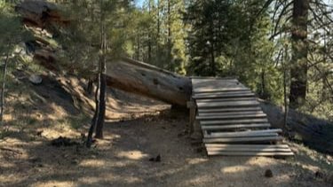
    DESCRIPTION: When it's hot we go early, we get altitude and head to the mountains! Hiking Mount Pinos will take you away from the summer heat of SCV, dropping ~20 degrees where you can enjoy alpine views while listening to the breeze gently caressing huge pines. Starting near the Frazier Park sledding location where there […]

  • Crystal Lake to Throop Peak

    Paramount Ranch 2903 Cornell Road, Agoura, CA, US

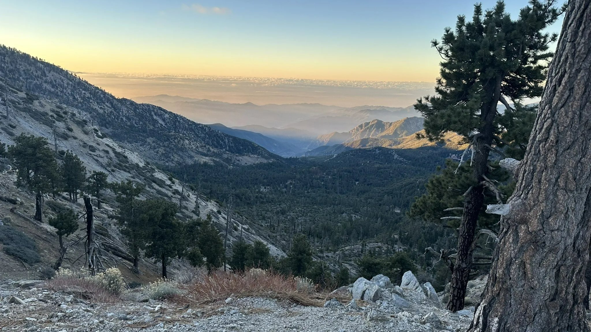
    DESCRIPTION: This is a scouting hike on a trail that’s new to me, so spots are limited. RSVPs will be waitlisted, and I’ll confirm attendees after a quick look at recent hiking history. This is a big-day summit hike into the high country of the San Gabriels, and one of the most rewarding peaks we […]

  • Vasquez Rocks Extended Loop via PCT

    Vasquez Rocks Natural Area Park 10700 Escondido Canyon Road, Agua Dulce, CA, US

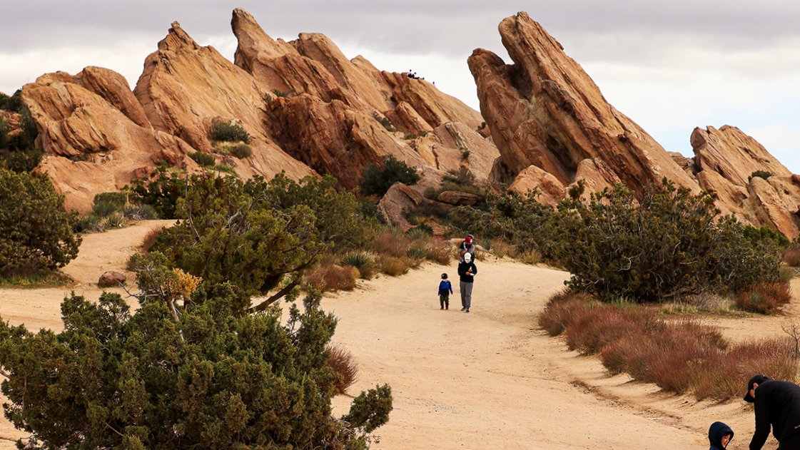
    Join us for a scenic hike through Vasquez Rocks Natural Area and Nature Center in Agua Dulce. This moderate loop combines the park’s dramatic rock formations, high-desert scenery, and a section of the legendary Pacific Crest Trail. Distance: Approximately 3.3–3.4 miles Elevation Gain: Approximately 500–600 feet Difficulty: Moderate Estimated Hiking Time: 1.5–2 hours, depending on […]

  • Mt. Baden-Powell O/B via Vincent Gap – Saturday, Sept 19

    Mt Baden Powell Vincent Gap Parking Lot Hwy 2, Big Pines, CA, US

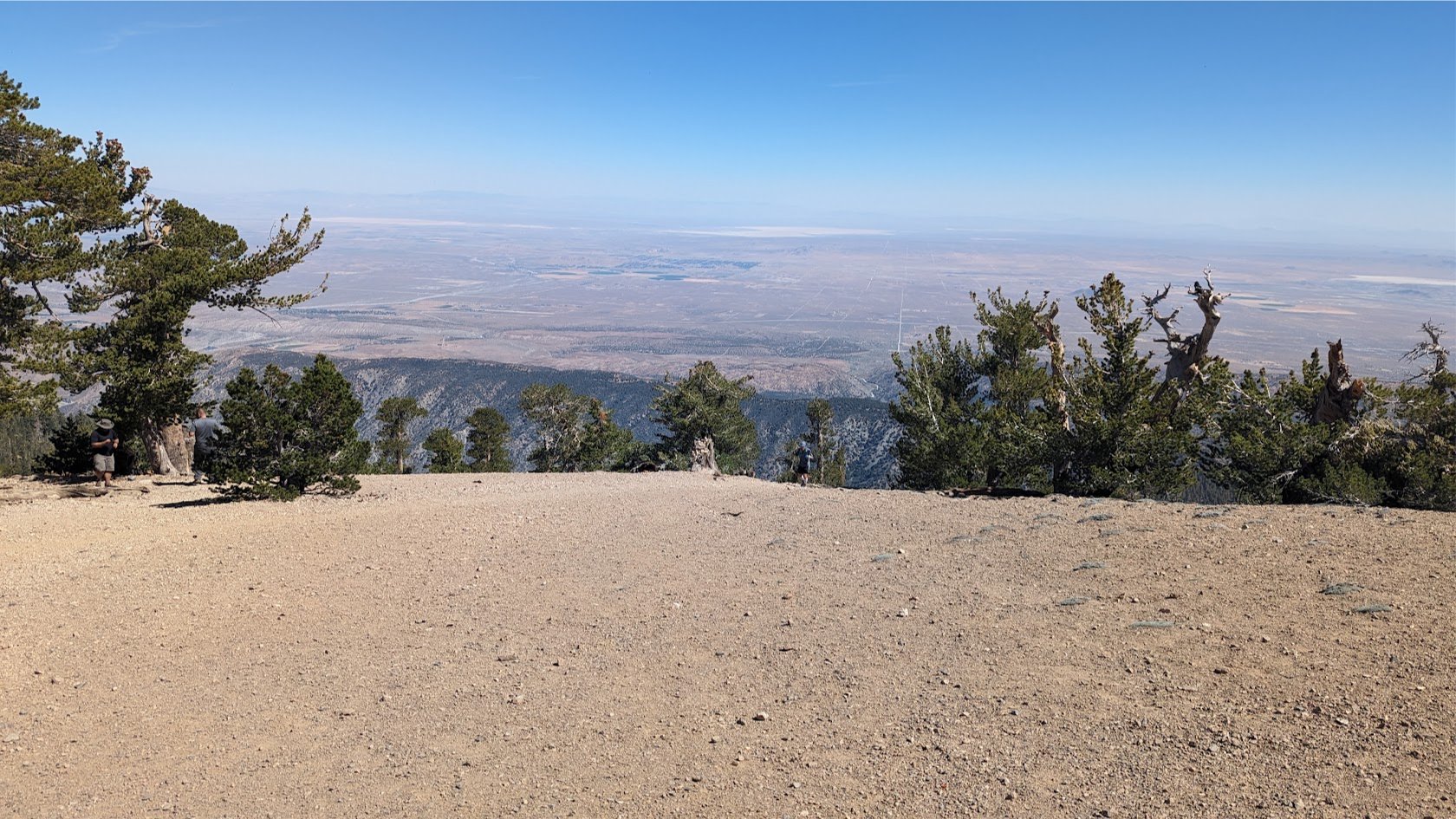
    DESCRIPTION: Picture this: you're standing at the trailhead, full of enthusiasm and optimism. The sun is shining, the birds are chirping, and you're ready to conquer this mountain like any other hike . However, Mount Baden-Powell has a dark side that will make you question your life choices. Winding its way up the north face […]

  • Shake Canyon to PCT Lollipop

    Online event

    VOLUNTEERS: Gary and Deena DATE: Saturday September 26, 2026 MEET: At Trailhead NO LATER than 8:00 AM – departure promptly at 8:15 DISTANCE: ~ 7.1 miles, Lollipop style GAIN: 1200’ Gain HIKING TIME: ~ 4 - 4.5 hours hiking DOGS: Not permitted due to excessive plant growth along creek with poison oak, plus poodle dog […]


Trail statistics are approximate. For safety purposes always assume they are underestimated. But don’t be disappointed if they are overestimated. Bring more water and snacks than you think you’ll need.

Trail descriptions are based on previous hikes. Current conditions are unknown until arrival. Expect the unexpected and plan accordingly.

The Organizers and members of Hiking With Dean are not professional leaders, guides, or mountaineers. The function of the member or organizer is only to organize the trip. Each person who shows up for a trip/meetup (and their guest or guests) is responsible for his or her own safety. By attending a hike, or any other event organized by this group, you are acknowledging that you and any guests that you bring are aware of the risks, dangers and hazards associated with the activity and freely accept and fully assume all such risks, dangers and hazards, and further agree to release and discharge the Organizers, Members of the Hiking With Dean Meetup Group from and against any and all liability arising from your participation in the group activities per our ASSUMPTION OF RISK AND LIABILITY WAIVER and Section 6.2 of the Meetup.com Terms of Service.