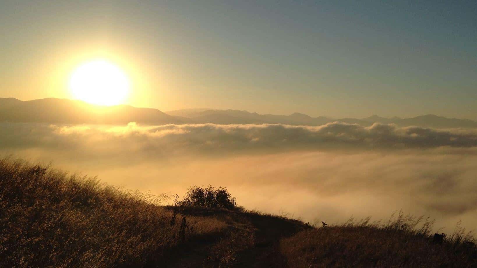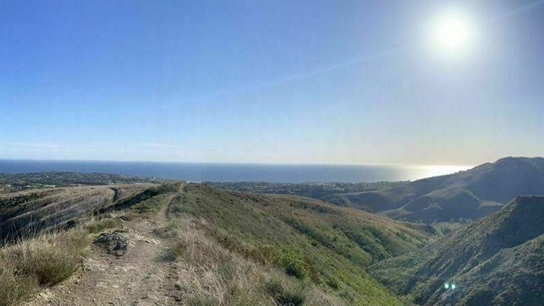
Haddock Mountain
Reyes Peak Trail Head Pine Mountain Road, Maricopa, CA, USWe will be tagging Haddock. Be at the trailhead by 9. 8-10 miles ( might include Reyes on the way back). Carpooling available from Ventura. FYI this is about a […]

We will be tagging Haddock. Be at the trailhead by 9. 8-10 miles ( might include Reyes on the way back). Carpooling available from Ventura. FYI this is about a […]

Distance: 3.25 milesGain: 750This hike is suitable for fit beginners (https://www.meetup.com/Hiking-Plus/messages/boards/thread/50879781). Park on the south side of the CA-118 at the Rocky Peak exit. We'll walk west along the Santa […]

Description:The hike ascends to Mission Point, aka Mission Peak, via the Mario A DeCampos Trail. The peak is the second highest summit in the Santa Susana mountain range behind Oat […]

https://www.alltrails.com/trail/us/california/ocean-and-canyon-view-trail?u=i Hello Fellow Hikers,This is gonna be a collaboration hike with Facebook Hikerbabes (Malibu Chapter) Everyone is welcome and great to meet new fellow hikers that enjoy the outdoors like […]

BEFORE YOU WILL BE MOVED TO THE GOING LIST, YOU WILL NEED TO UPDATE YOUR CDH PROFILE (The three questions must be answered with a "yes") IF YOU HAVE NOT […]

Let's shoot the core of the Milky Way. This time let's aim at the sky from the Trona Pinnacles. I've never been to Trona Pinnacles. But based on the Clear […]

National Trails Day is a celebration of trails that evolved from the report of President Ronald Reagan's President's Commission on Americans Outdoors. In 1987, the report recommended that all Americans […]

COVID precautions still apply. Please be mindful of other people's space. BOULDERING, ROCK HOPPING & UNEVEN HIKING SURFACES. Wear shoes you can get wet. You're almost guaranteed to go in […]

3.5 miles, 600' gain, Easy Intermediate. A fit beginner can handle this. Because there are a couple extended inclines, I've rated this at the easy end of the intermediate spectrum. […]
[asa2_collection tpl=”Flex_1″ orderby=”rand” limit=”4″]2[/asa2_collection]
Trail statistics are approximate. For safety purposes always assume they are underestimated. But don’t be disappointed if they are overestimated. Bring more water and snacks than you think you’ll need. Trail descriptions are based on previous hikes. Current conditions are unknown until arrival. Expect the unexpected and plan accordingly. The Organizers and members of Hiking With Dean are not professional leaders, guides, or mountaineers. The function of the member or organizer is only to organize the trip. Each person who shows up for a trip/meetup (and their guest or guests) is responsible for his or her own safety. By attending a hike, or any other event organized by this group, you are acknowledging that you and any guests that you bring are aware of the risks, dangers and hazards associated with the activity and freely accept and fully assume all such risks, dangers and hazards, and further agree to release and discharge the Organizers, Members of the Hiking With Dean Meetup Group from and against any and all liability arising from your participation in the group activities per our ASSUMPTION OF RISK AND LIABILITY WAIVER and Section 6.2 of the Meetup.com Terms of Service. |
Meetuphikes.com is the brainchild of Dean, the founder and organizer of the Meetup hiking group Hiking With Dean. Here you will find past and upcoming Meetup group hikes from all over southern California. Don’t see your favorite group? Drop us a line and ask us to add it.
 MRCA Park Closures and Re-Openings
June 17, 2025
 Back to the Future
May 28, 2023
 Chivo Canyon to Coquina Mine
May 21, 2023
 Mission Point the Hard Way
May 12, 2023
 Lower Zuma Canyon – Big Loop
March 24, 2023
Recent Comments