Site Search

Hiking Calendar

Piru Creek! Water Lovers Only

Frenchman's Flat Campground Golden State Hwy Old Road, Castaic, CA, US

COVID precautions still apply. Please be mindful of other people's space. BOULDERING, ROCK HOPPING & UNEVEN HIKING SURFACES. Wear shoes you can get wet. You're almost guaranteed to go in […]

Los Padres – Potluck Picnic

Los Padres Trailhead 15 Los Padres Drive, Thousand Oaks, CA, US

3.5 miles, 600' gain, Easy Intermediate. A fit beginner can handle this. Because there are a couple extended inclines, I've rated this at the easy end of the intermediate spectrum. […]

Towsley Canyon Late Afternoon Conditioning Hike

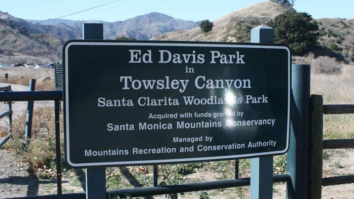
Ed Davis Park at Towsley Canyon 24255 The Old Rd, Newhall, CA, US

The Ed Davis Park in Towsely Canyon has several trails and we will take the most popular. Distance: 6 milesElevation Gain: 1600 ftDifficulty: Beginner to Intermediate pace.Dogs: are allowed in […]

San Gorgonio from Fish Creek

Fish Creek Trail 1W07 240 Forest Cir, Angelus Oaks, CA, US

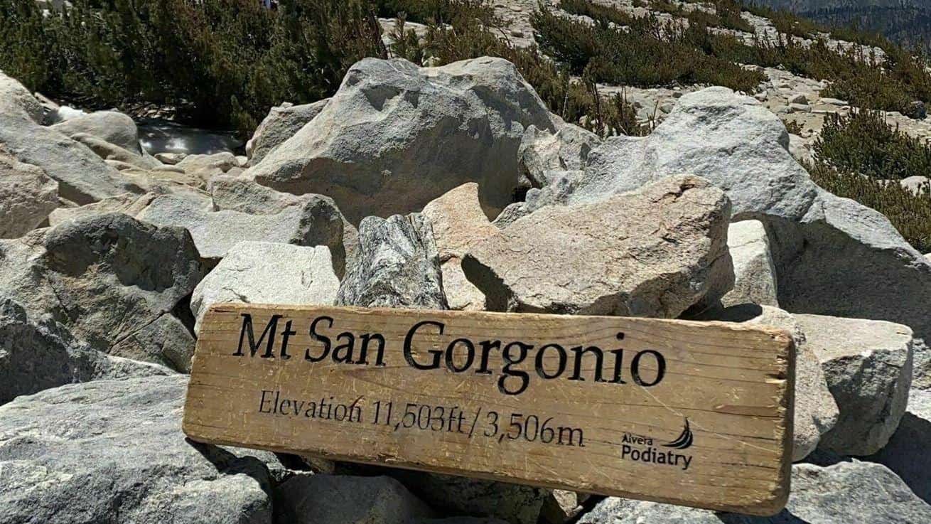
https://www.alltrails.com/trail/us/california/san-gorgonio-mountain-from-fish-creek?u=i Hello Fellow Hikers,San Gorgonio Mountain, also known locally as Mount San Gorgonio, or Old Greyback, is the highest peak in Southern California and the Transverse Ranges at 11,503 feet […]

Harmon cyn

Missionary Church 500 High Point Drive, Ventura, CA, US

Meet at the trailhead at 2. We will be taking the upper single track, down to the main road, north to the first intersection and back to the parking lot. […]

Thorn point/mount San Guillermo

McDonalds on 126 908 W Ventura St, Fillmore, CA, US

We will be tagging thorn point and probably San Guillermo peak. Both peaks are off Grade Valley rd. Est 10-12 miles. Difficulty- hard. Some bushwhacking may occur. Meet at the […]

Thorn point

McDonald's 908 Ventura St, Fillmore, CA, US

We will be tagging Thorn and then maybe San Guillermo. 10ish miles moderate. Meet at the McDonalds in Fillmore at 0700. We can carpool from there. A high clearance vehicle […]

[asa2_collection tpl=”Flex_1″ orderby=”rand” limit=”4″]2[/asa2_collection]

Trail statistics are approximate. For safety purposes always assume they are underestimated. But don’t be disappointed if they are overestimated. Bring more water and snacks than you think you’ll need.

Trail descriptions are based on previous hikes. Current conditions are unknown until arrival. Expect the unexpected and plan accordingly.

The Organizers and members of Hiking With Dean are not professional leaders, guides, or mountaineers. The function of the member or organizer is only to organize the trip. Each person who shows up for a trip/meetup (and their guest or guests) is responsible for his or her own safety. By attending a hike, or any other event organized by this group, you are acknowledging that you and any guests that you bring are aware of the risks, dangers and hazards associated with the activity and freely accept and fully assume all such risks, dangers and hazards, and further agree to release and discharge the Organizers, Members of the Hiking With Dean Meetup Group from and against any and all liability arising from your participation in the group activities per our ASSUMPTION OF RISK AND LIABILITY WAIVER and Section 6.2 of the Meetup.com Terms of Service.