Site Search

Hiking Calendar

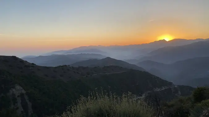
OC Turtle Rock Sunset Hike

1 Concordia, Irvine, CA Concordia, Irvine, CA, United States

This popular trail near the Irvine Turtle Rock neighborhood is a fantastic hike, featuring a 4.2-mile loop with a 900-foot elevation gain. It's typically completed in about 2 hours at […]

Talopop – Suitable for fit beginners

Talopop at Juan Bautista de Anza Park 3701 Lost Hills Road, Calabasas, CA, US

Fit Beginner, 4.1 miles, 720' gain. Easier route: 3.9 miles, 500' gain. Is it Talepop or Talopop? Maps and signs that I have seen, use the 2nd spelling, but a […]

Tapo Canyon Trail

Tapo Canyon Road Tapo Canyon Rd, Simi Valley, CA, US

https://www.alltrails.com/trail/us/california/tapo-canyon-trail?u=i Hello Fellow Hikers, ( please read liability disclaimer at the bottom )  Join me on a easier moderate hike at Tapo Canyon Trail in Simi Valley. This hike […]

Tehachapi Mountain Hike, lunch, and Mountain Festival

Starbucks Weedpatch Highway, Bakersfield, CA, United States

Join us for this up and back hike in Tehachapi Park. This hike doesn’t include the very steep last three quarter mile to the peak. Once we arrive at the […]

Hike at O’Neill Regional Park + Brunch at Cook’s Corner

O'Neill Regional Park 30892 Trabuco Canyon Rd, Trabuco Canyon, CA, US

The hike we will be doing is approximately 5 miles with 870 ft. of elevation gain. We will begin at the Live Oak Trail trailhead. This is where you will […]

Chumash trail

Chumash Park 3200 Flanagan Dr, Simi Valley, CA, US

https://www.rsrpd.org/simi_valley/trails/chumash_park_and_trail.php Hello Fellow Hikers, (Please read liability disclaimer at the bottom ) Gonna be doing the Chumash Trail in Simi Valley to the junction of Rocky Peak then make our […]

Blue Ridge Trail

Wrightwood CA- Exact Address given for qualified candidates North Las Palmas Avenue, Los Angeles, ca, United States

DESCRIPTION: This is a pleasant uphill hike on the north slope of Blue Ridge. Our trail starts up through stands of scrub oak, black oak, and Jeffrey pine, changing to […]


Trail statistics are approximate. For safety purposes always assume they are underestimated. But don’t be disappointed if they are overestimated. Bring more water and snacks than you think you’ll need.

Trail descriptions are based on previous hikes. Current conditions are unknown until arrival. Expect the unexpected and plan accordingly.

The Organizers and members of Hiking With Dean are not professional leaders, guides, or mountaineers. The function of the member or organizer is only to organize the trip. Each person who shows up for a trip/meetup (and their guest or guests) is responsible for his or her own safety. By attending a hike, or any other event organized by this group, you are acknowledging that you and any guests that you bring are aware of the risks, dangers and hazards associated with the activity and freely accept and fully assume all such risks, dangers and hazards, and further agree to release and discharge the Organizers, Members of the Hiking With Dean Meetup Group from and against any and all liability arising from your participation in the group activities per our ASSUMPTION OF RISK AND LIABILITY WAIVER and Section 6.2 of the Meetup.com Terms of Service.