Site Search

Hiking Calendar

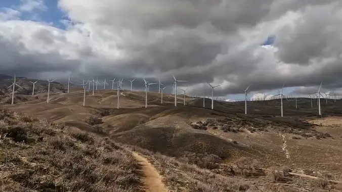
PCT South via Tehachapi Willow Springs Road

Pacific Crest National Scenic Trail Pacific Crest Nat'l Scenic Trl, United States, US

https://www.alltrails.com/trail/us/california/pct-south-via-tehachapi-willow-springs-road Hello Fellow Hikers, Got a treat for ya...another day trip....to the PCT in the Tehachapi Mountains! This part of the PCT is unique as it's known for wild horses,wild […]

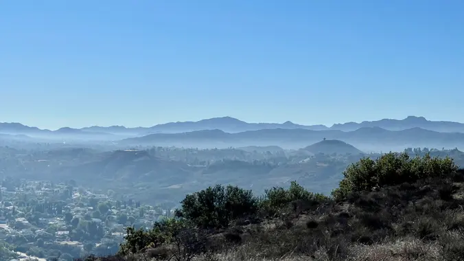
Hike at Caspers Wilderness Park – Bell Canyon + Oso Trail

Caspers Wilderness Park 33401 Ortega Hwy, San Juan Capistrano, CA, US

The hike I am planning is around 6.3 miles with about 700 ft. of elevation gain. It starts at the very end of the paved road, the long gray strip […]

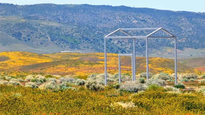
EBiking through the poppy fields

West Avenue G & Lancaster Road California, CA, US

We'll do a 20+ mile ride on the dirt roads that are next to the Antelope Valley Poppy Preserve. Right now, this is possibly the best place to see poppies. […]

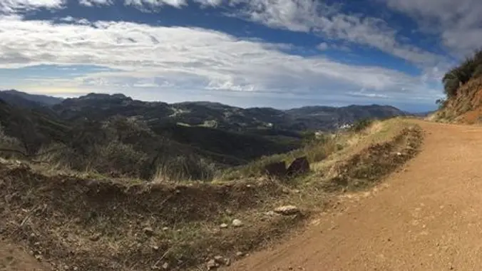
Upper Stunt High Trail To Saddle Peak ~ Gentler Intermediate

UCLA Stunt Ranch Reserve 1201 Stunt Rd, Calabasas, CA, US

This hike begins at Upper Stunt High Trail, a couple hundred feet to the right on the other side of the street from the parking lot. The trail winds upward […]

Encinal Canyon to the Top of the World ~ 8 mile Intermediate Hike

Encinal Canyon Road Backbone Trail 1097 Encinal Canyon Road, malibu, CA, US

Encinal Canyon is named for encina, the Spanish word for the holm oak, a lovely Mediterranean tree with holly characteristics. Holm oaks are one of the main trees used to […]

Lizard Rock Loop

Tennis Court parking lot 635 W Avenida de Los Arboles, Thousand Oaks, CA, US

Easy Intermediate, 4.5 miles, 600' gain Easier Option, 3.5 miles, 460' gain This is a unique loop through Wildwood Park that takes us to the famous Lizard Rock. There are […]

BIKE RIDE ALONG THE RIO HONDO & SAN GABRIEL RIVERS

West Avenue G & Lancaster Road California, CA, US

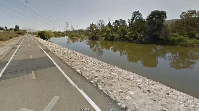
BIKE RIDE ALONG THE RIO HONDO & SAN GABRIEL RIVERS This is a chance for those with regular bikes to join me as we ride along relatively flat bike paths […]

[asa2_collection tpl=”Flex_1″ orderby=”rand” limit=”4″]2[/asa2_collection]

Trail statistics are approximate. For safety purposes always assume they are underestimated. But don’t be disappointed if they are overestimated. Bring more water and snacks than you think you’ll need.

Trail descriptions are based on previous hikes. Current conditions are unknown until arrival. Expect the unexpected and plan accordingly.

The Organizers and members of Hiking With Dean are not professional leaders, guides, or mountaineers. The function of the member or organizer is only to organize the trip. Each person who shows up for a trip/meetup (and their guest or guests) is responsible for his or her own safety. By attending a hike, or any other event organized by this group, you are acknowledging that you and any guests that you bring are aware of the risks, dangers and hazards associated with the activity and freely accept and fully assume all such risks, dangers and hazards, and further agree to release and discharge the Organizers, Members of the Hiking With Dean Meetup Group from and against any and all liability arising from your participation in the group activities per our ASSUMPTION OF RISK AND LIABILITY WAIVER and Section 6.2 of the Meetup.com Terms of Service.