Site Search

Hiking Calendar

Easy hike – SYCAMORE CANYON

Rancho Sierra Vista/Satwiwa 4121 Potrero Rd, Newbury Park, CA, US

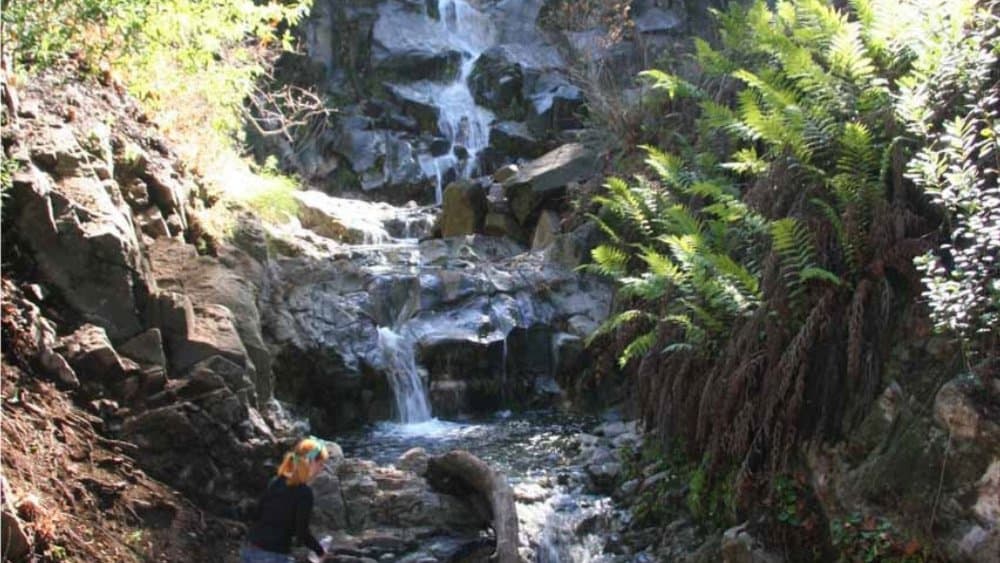
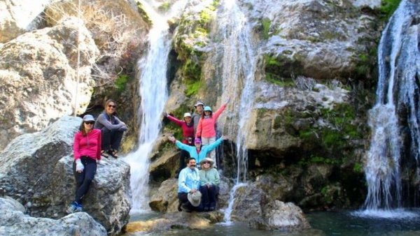
BEFORE YOU WILL BE MOVED TO THE GOING LIST, YOU WILL NEED TO UPDATE YOUR CDH PROFILE (The three questions must be answered with a "yes") IF YOU HAVE NOT ALREADY DONE SO.NEED HELP:go to: https://wp.me/P9MbG4-hC We'll be doing an easy short hike to the waterfall off Sycamore Canyon. Don't expect more than a trickle […]

Mountain E-bike ride – SYCAMORE CANYON

Rancho Sierra Vista/Satwiwa 4121 Potrero Rd, Newbury Park, CA, US

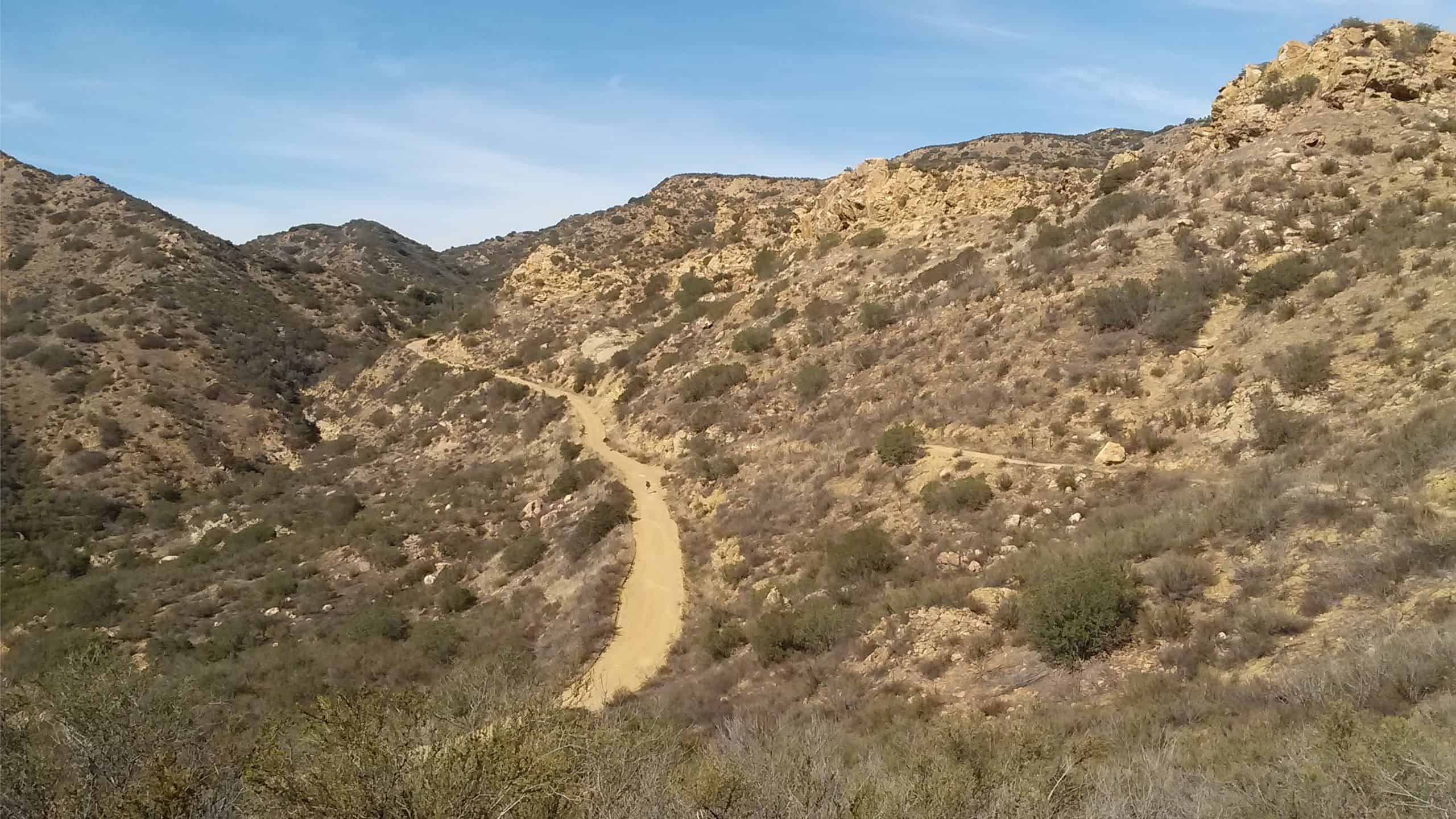
BEFORE YOU WILL BE MOVED TO THE GOING LIST, YOU WILL NEED TO UPDATE YOUR CDH PROFILE (The three questions must be answered with a "yes") IF YOU HAVE NOT ALREADY DONE SO.NEED HELP:go to: https://wp.me/P9MbG4-hC We'll be riding on dirt and a paved road as we take on Sycamore Canyon from Newbury Park to […]

Happy Camp 2 – Intermediate

Happy Camp Rustic Canyon 13650 Broadway Road, Moorpark, US

5.7 Miles, 1000' gain, Intermediate. The starting point is NOT at the golf course entrance. It is at a dirt lot that can hold at least 50 cars. There is some real incline on this hike and a lot less trails coated with silt compared to the easier Happy Camp hike. Even though I have […]

Inspiring/Challenging/Steep Moonlight Hike: Caballero Lp Trl off Reseda(Tarzana)

4047 Reseda Blvd 4047 Reseda Blvd, Tarzana, CA, US

STATSDifficulty: 5/10, Moderate but steep uphillLength: 4 miles, 2 hours plus breaksElevation Gain & Loss: 1400’View: Cross-valley view and Ocean on clear nightsDetails: Steeper uphill, easier downhill TRAILHEAD INFOPark on the street near the address. Night-hiking in LA is amazing! Trails are practically empty, breeze is cool, & the beautiful city below you offers unlimited […]

SAN GABRIEL, MARKHAM AND MT. LOWE PEAKS

Eaton Saddle Trailhead Mt Wilson Red Box Rd, La Cañada Flintridge, CA, US

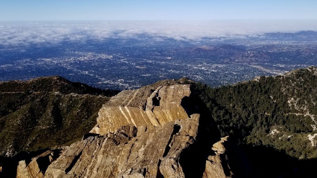
BEFORE YOU WILL BE MOVED TO THE GOING LIST, YOU WILL NEED TO UPDATE YOUR CDH PROFILE (The three questions must be answered with a "yes") IF YOU HAVE NOT ALREADY DONE SO HOW TO UPDATE YOUR PROFILE:https://wp.me/P9MbG4-hC ***Due to the recent surge with Covid-Omicron, only those who are fully vaccinated and boosted will be […]

Limekiln Canyon Lollipop – Suitable for beginners

Limekiln Canyon Trail 19569 Rinaldi Street, Porter Ranch, CA, US

4 miles, gain: 500', beginner. This is a beginner hike on the beautiful Limekiln trail. The hike starts at the trail head near the Tampa exit on I-118, just 3 miles east of the Topanga Canyon exit. This hike is a slight lollipop (from the shape of the route). There are no extended inclines, however […]

WEST LION CANYON FALLS

Thousand Oaks Park & Ride Corner of S. Rancho Rd and Halland Dr., Thousand Oaks, CA, US

BEFORE YOU WILL BE MOVED TO THE GOING LIST, YOU WILL NEED TO UPDATE YOUR CDH PROFILE (The three questions must be answered with a "yes") IF YOU HAVE NOT ALREADY DONE SO.NEED HELP:go to: https://wp.me/P9MbG4-hC This hopefully will be a good time to see West Lion Canyon Falls with the recent rain we've had. […]

Cheeseboro Ridge and Cheeseboro Canyon Loop

Cheeseboro Canyon Trail Cheeseboro Canyon Trail, Agoura Hills, CA, US

https://www.alltrails.com/trail/us/california/cheeseboro-ridge-and-cheeseboro-canyon-loop/photos Hello Fellow Hikers,This is a really popular area with hikers,mountain bikers and horses alike so best o hit this trail on a week day to keep it more to ourselves with less traffic. This area is popular because it offers open space with continuous mountain views. Trails are easy to follow and most surrounding […]

Palo Comado Lollipop – Easy Intermediate

Doubletree/Sunnycrest Trailhead Oak Springs Drive & Doubletree Road, Oak Park, CA, US

4.6 miles, 900' gain, easy-intermediate. This route takes us through a beautiful canyon via a counter-clockwise lollipop. Most of the hike has a clear view of the sky, with a few parts that have tree cover. We'll be stopping at the half-way point for a snack and beverage share (https://www.meetup.com/Hiking-Plus/messages/boards/thread/50879772). We'll start at the Palo […]


Trail statistics are approximate. For safety purposes always assume they are underestimated. But don’t be disappointed if they are overestimated. Bring more water and snacks than you think you’ll need.

Trail descriptions are based on previous hikes. Current conditions are unknown until arrival. Expect the unexpected and plan accordingly.

The Organizers and members of Hiking With Dean are not professional leaders, guides, or mountaineers. The function of the member or organizer is only to organize the trip. Each person who shows up for a trip/meetup (and their guest or guests) is responsible for his or her own safety. By attending a hike, or any other event organized by this group, you are acknowledging that you and any guests that you bring are aware of the risks, dangers and hazards associated with the activity and freely accept and fully assume all such risks, dangers and hazards, and further agree to release and discharge the Organizers, Members of the Hiking With Dean Meetup Group from and against any and all liability arising from your participation in the group activities per our ASSUMPTION OF RISK AND LIABILITY WAIVER and Section 6.2 of the Meetup.com Terms of Service.