
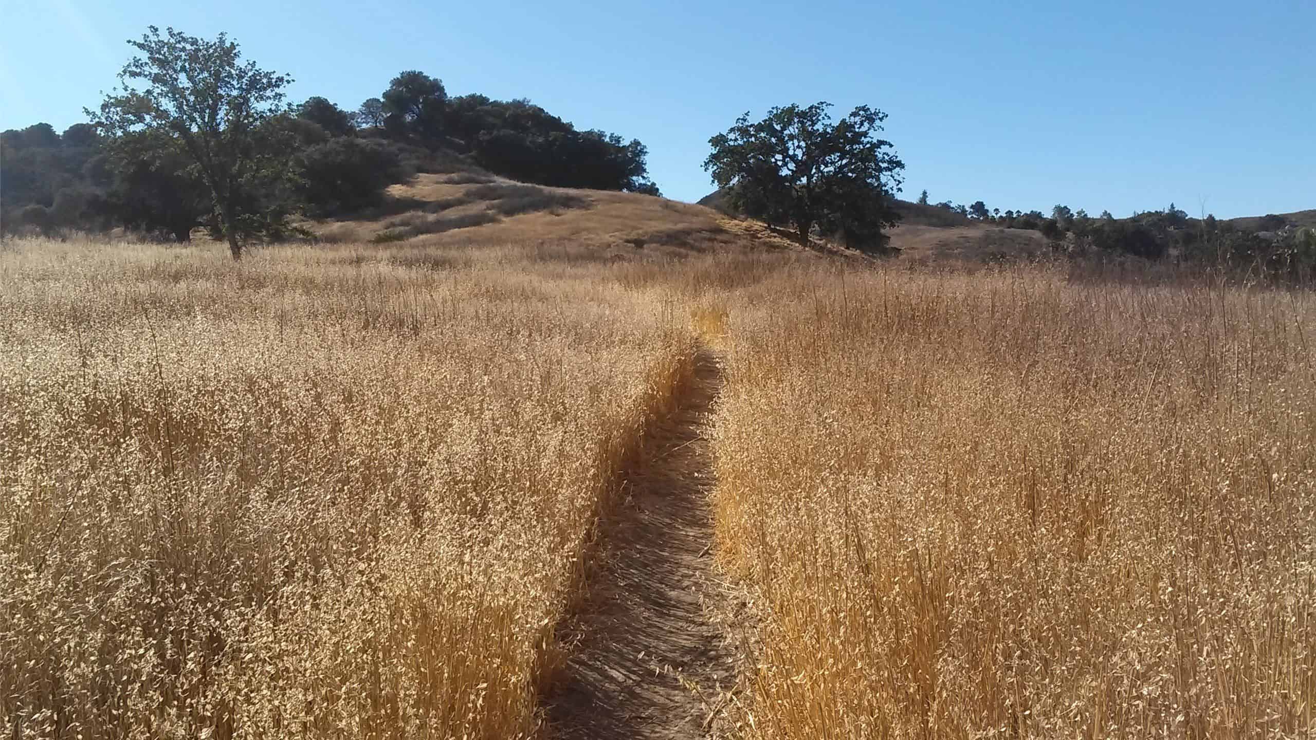
Talopop – Suitable for fit beginners
Fit Beginner, 4.1 miles, 720' gain. Easier route: 3.9 miles, 500' gain. Is it Talepop or Talopop? Maps and signs that I have seen, use the 2nd spelling, but a […]

Fit Beginner, 4.1 miles, 720' gain. Easier route: 3.9 miles, 500' gain. Is it Talepop or Talopop? Maps and signs that I have seen, use the 2nd spelling, but a […]

Let's hike. The roughly 7 miles with 680 elevation gain includes some rolling hills and flatter parts as well as a nice viewpoint at the top of BIG RED! Enjoy walking along eucalyptus trees and looking at beautiful homes. Bring sun protection, layers, water, and a snack. Wear shoes w/good tread as the soil can […]
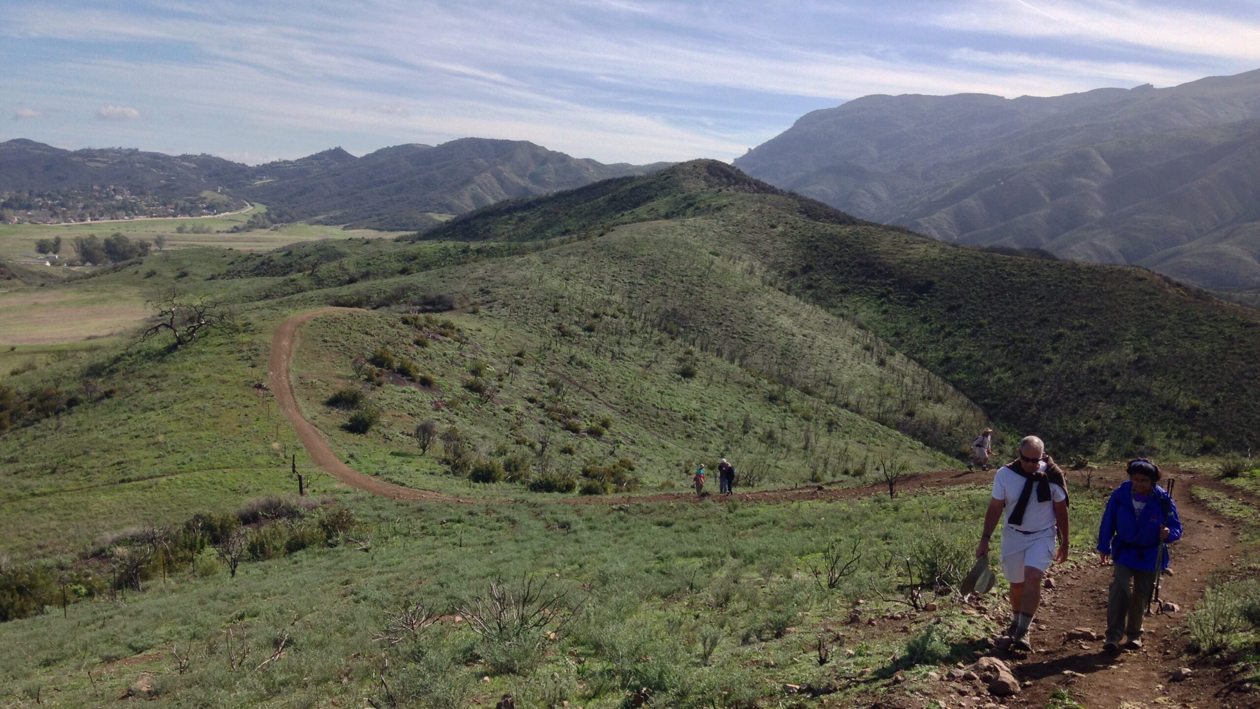
This will be a figure 8 loop throughout the upper mesa of Rancho Sierra Vista. We will enjoy green vistas and hopefully some flowers. We will still start at 8:30 […]
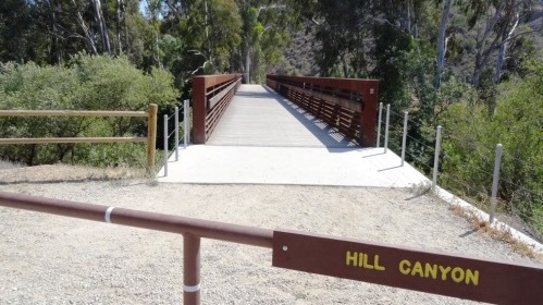
Time and date are as noted above. We will start this hike at Santa Rosa Regional Park at the parking area in Hill Canyon, cross the bridge over the runoff […]
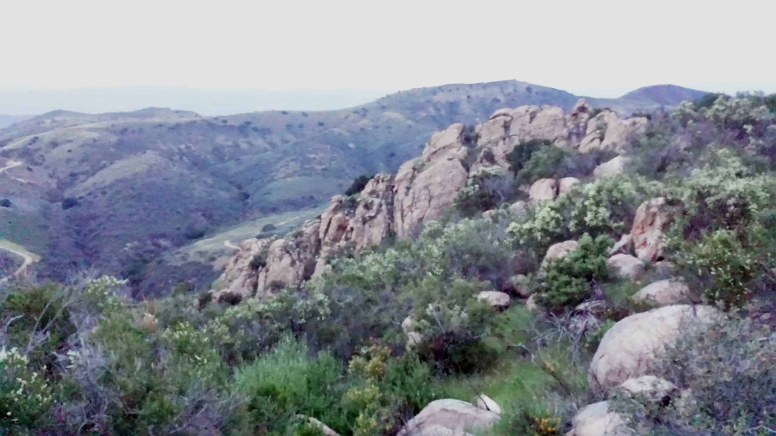
3.2 miles, 900' gain, Intermediate. The first part is a steady incline, followed by a rolling trail to our destination. Fit beginners can complete this hike, but it will certainly […]

We did this one recently with Jim and it was so great we really need to do it again. This trip will have a different lunch destination. We meet up in the parking lot near the Griffith Park Merry-Go-Round. We proceed south on Crystal Springs Drive into the suburban hills above Los Feliz Blvd and […]
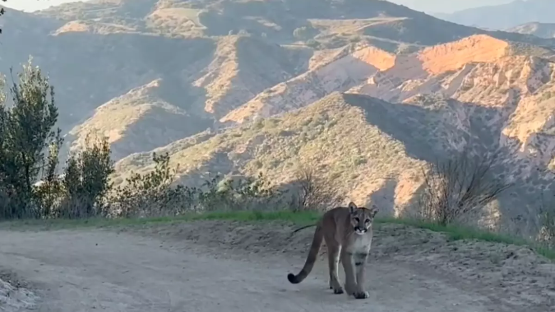
This hike will be about 5.4 miles total with 820 ft. of elevation gain. We are starting at the parking lot at the Wahoo's parking lot. We will take Live Oak Trail. This turns into Serrano Road which will take us to Serrano Cow Trail. At this part of the trail, we usually see a […]
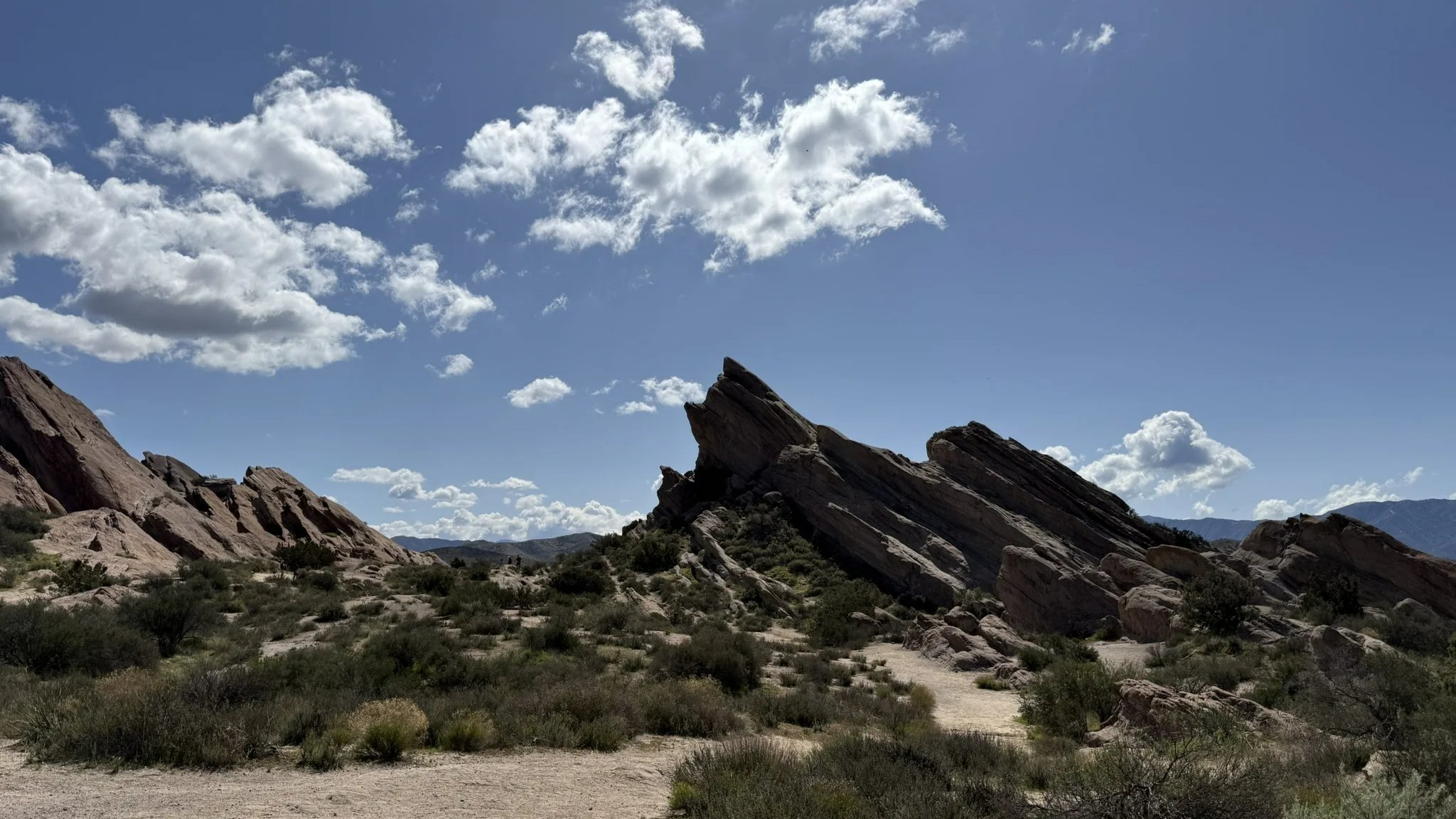
This 11.7-mile lollipop route including a section of the Pacific Crest Trail offers a compelling journey through one of Southern California's most distinctive geological landscapes. The moderately challenging route takes an average of 6 hours to complete, delivering hikers through lush desert canyons, dramatic rock formations, and seasonal creek crossings before culminating at the iconic […]

Trail statistics are approximate. For safety purposes always assume they are underestimated. But don’t be disappointed if they are overestimated. Bring more water and snacks than you think you’ll need. Trail descriptions are based on previous hikes. Current conditions are unknown until arrival. Expect the unexpected and plan accordingly. The Organizers and members of Hiking With Dean are not professional leaders, guides, or mountaineers. The function of the member or organizer is only to organize the trip. Each person who shows up for a trip/meetup (and their guest or guests) is responsible for his or her own safety. By attending a hike, or any other event organized by this group, you are acknowledging that you and any guests that you bring are aware of the risks, dangers and hazards associated with the activity and freely accept and fully assume all such risks, dangers and hazards, and further agree to release and discharge the Organizers, Members of the Hiking With Dean Meetup Group from and against any and all liability arising from your participation in the group activities per our ASSUMPTION OF RISK AND LIABILITY WAIVER and Section 6.2 of the Meetup.com Terms of Service. |
 MRCA Park Closures and Re-Openings
June 17, 2025
MRCA Park Closures and Re-Openings
June 17, 2025 Back to the Future
May 28, 2023
Back to the Future
May 28, 2023 Chivo Canyon to Coquina Mine
May 21, 2023
Chivo Canyon to Coquina Mine
May 21, 2023 Mission Point the Hard Way
May 12, 2023
Mission Point the Hard Way
May 12, 2023 Lower Zuma Canyon – Big Loop
March 24, 2023
Lower Zuma Canyon – Big Loop
March 24, 2023
Recent Comments