Site Search

Hiking Calendar

Hike Topanga State Park Trippet Ranch to Eagle Rock

Topanga State Park 20828 Entrada Rd, Topanga, CA, US

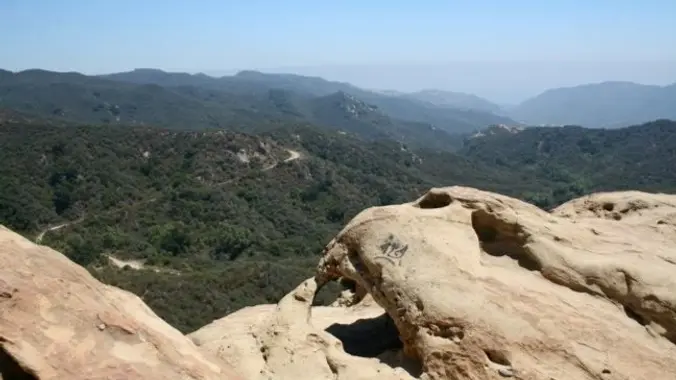
**Topanga State Park** **Trippet Ranch to Eagle Rock** **Sunday May 22nd, 2022** **TRAILHEAD TIME: 9:00 A.M** **Eden Outdoor Adventures** This activity is being organized by **Eden Outdoor Adventures** on Meetup. You are more than welcome to join our Meetup group! **FULLY VACCINATED & BOOSTED PARTICIPANTS ONLY.** **Sunday, May 22nd, 2022: Topanga State Park - Trippet […]

Danielson Monument potluck hike

4128 Potrero Rd 4128 Potrero Rd, Thousand Oaks, CA, US

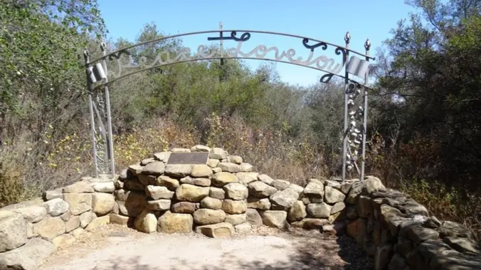
**(https://www.meetup.com/Hiking-Plus/messages/boards/thread/50879781)** Let's enjoy hiking to the Danielson Monument in the Boney Mountain Wilderness and potluck! The trail is filled with the colors of spring. We'll hike up to Danielson monument and enjoy potluck and "Peace, Love and Joy." Please bring food and drinks to share. We'll have our typical **(https://www.meetup.com/Hiking-Plus/messages/boards/thread/50879772) social event at the top** […]

EBIKE RIDE – The Westlake Village Challenge – Optional lunch at The Stonehaus

Triunfo Park 980 Aranmoor Ave, Thousand Oaks, CA, US

BEFORE YOU WILL BE MOVED TO THE GOING LIST, YOU WILL NEED TO UPDATE YOUR CDH PROFILE (The three questions must be answered with a "yes") IF YOU HAVE NOT ALREADY DONE SO. NEED HELP: (go to: https://wp.me/P9MbG4-hC) BIKE RIDE - Westlake Village The route will start at Triunfo Park and from there we'll cover […]

Wildlife Tunnel Loop – Intermediate. Easier Option: Fit Beginner

Rocky Peak Trailhead Rocky Peak Rd, Simi Valley, CA, US

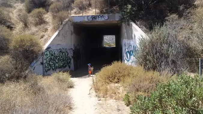
**Intermediate - 3 miles, 1000' gain** **Easier Option - Fit Beginner, 1.4 miles, 525' gain.** (https://secure.meetupstatic.com/photos/event/c/c/3/5/highres_502012277.jpeg) is relatively short, but the middle portion is a rugged and continuous incline for 1 mile with about 700' of gain. Even though we'll be taking this trail at the pace of a social hike, beginners may will find […]

Challenging Steep Long Sunset Night Hike: DeBell to top of Verdugo Loop

2300 E Walnut Ave 2300 E Walnut Ave, Burbank, CA, US

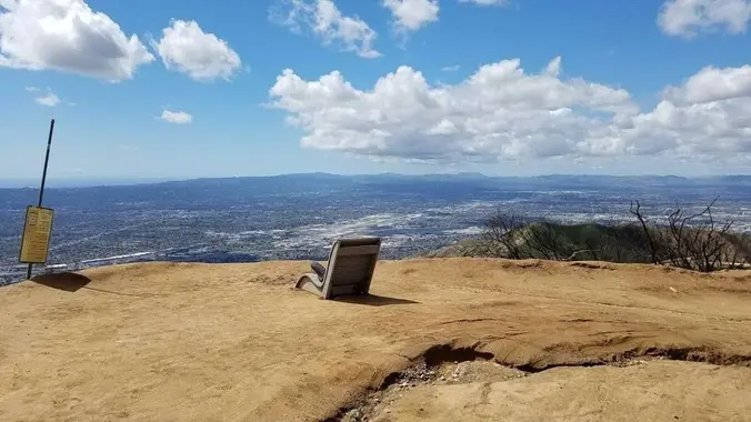
STATS Difficulty: 5/10, Moderate-Long with steep sections Length: 5.4 miles, 3 hours + breaks Elevation: Gain/loss: 2200' Range: 1500-3000' View: Mountains & City Lights Details: Long Hike, Great views from top ridge TRAILHEAD INFO 2300 E Walnut Ave, Burbank, CA 9150 Map pin is south of address due to gates that get locked at sunset. […]

CLOUDBURST SUMMIT to THREE POINTS (WATERMAN’S BACKBONE)

Angeles Crest Hwy, just north of the 210 Fwy. 4800 Angeles Crest Hwy, La Canada, CA, US

BEFORE YOU WILL BE MOVED TO THE GOING LIST, YOU WILL NEED TO UPDATE YOUR CDH PROFILE (The three questions must be answered with a "yes") IF YOU HAVE NOT ALREADY DONE SO. NEED HELP: (go to: https://wp.me/P9MbG4-hC)](http://%5Bgo%20to:%20https//wp.me/P9MbG4-hC%5D(go%20to:%20https://wp.me/P9MbG4-hC)) WATERMAN'S BACKBONE VIA A CAR SHUTTLE This event will allow us to trek along Waterman Mountain's ridgeline […]

Long Canyon – Easy cc lollipop – the back way

572 Bannister Way 572 Bannister Way, Simi Valley, CA, US

**5 miles, 800' gain, Easy Intermediate.** **Easier Option: 3.2 miles, 400' gain, Fit Beginner.** The address is not the address of the hike, but a nearby address that should get you to pass by the trailhead. We'll be stopping at various points to regroup and this is not a conditioning hike. It is a social […]

Dawn Mine-From Chaney Trail

Chaney Trail chaney trail and mt. lowe road, altadena, CA, US

The Stats Distance: 7> a guess Rating: 7 a guess Elevation gain: a guess) Trail: Looped single track Pace: Not for beginners -will be at my pace The Plan Our route starts at Chaney Trail trailhead and follows the fire road and Sunset Ridge Trail up to Dawn Station, then descends to the mine, after […]

4 PEAKS: West Fuji, Muir, Inspiration Point, Echo Mountain

Charmlee Wilderness Park 2577 S. Encinal Canyon Road, Malibu, CA, US

BEFORE YOU WILL BE MOVED TO THE GOING LIST, YOU WILL NEED TO UPDATE YOUR CDH PROFILE (The three questions must be answered with a "yes") IF YOU HAVE NOT ALREADY DONE SO HOW TO UPDATE YOUR PROFILE: https://wp.me/P9MbG4-hC ***Everyone will be put on the wait list and after you are moved to the going […]


Trail statistics are approximate. For safety purposes always assume they are underestimated. But don’t be disappointed if they are overestimated. Bring more water and snacks than you think you’ll need.

Trail descriptions are based on previous hikes. Current conditions are unknown until arrival. Expect the unexpected and plan accordingly.

The Organizers and members of Hiking With Dean are not professional leaders, guides, or mountaineers. The function of the member or organizer is only to organize the trip. Each person who shows up for a trip/meetup (and their guest or guests) is responsible for his or her own safety. By attending a hike, or any other event organized by this group, you are acknowledging that you and any guests that you bring are aware of the risks, dangers and hazards associated with the activity and freely accept and fully assume all such risks, dangers and hazards, and further agree to release and discharge the Organizers, Members of the Hiking With Dean Meetup Group from and against any and all liability arising from your participation in the group activities per our ASSUMPTION OF RISK AND LIABILITY WAIVER and Section 6.2 of the Meetup.com Terms of Service.