Site Search

Hiking Calendar

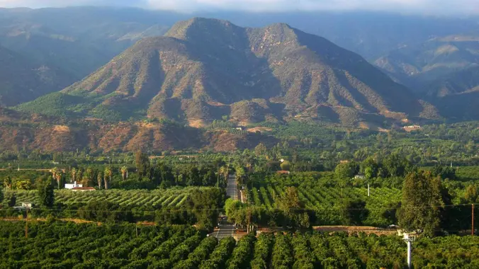
E-bike ride around Ojai

The Mob Shop 110 W Ojai Ave, Ojai, CA, US

BEFORE YOU WILL BE MOVED TO THE GOING LIST, YOU WILL NEED TO UPDATE YOUR CDH PROFILE (The three questions must be answered with a "yes") IF YOU HAVE NOT ALREADY DONE SO. NEED HELP: go to: https://wp.me/P9MbG4-hC This will be a special e-bike ride in Ojai, but strong bikers are welcomed to join us […]

Hill Canyon – Hawk Lollipop – Easy Intermediate, beginner option

Hill Canyon Trailhead 10241 Hill Canyon Road, Camarillo, CA, US

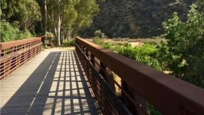
5.3 miles, 600' gain, Easy-Intermediate 2 miles, 100' gain, Beginner We start by crossing a bridge into a wooded area and continue down a relatively flat path alongside a stream. After about a mile, we'll come to a junction. For those that want the full hike, we'll turn right and complete a 3 mile loop […]

Inspiring & Challenging Steep Moonlight Hike: Mission Peak Loop in Granada Hills

18000 Sesnon Blvd 18000 Sesnon Blvd, Granada Hills, CA, US

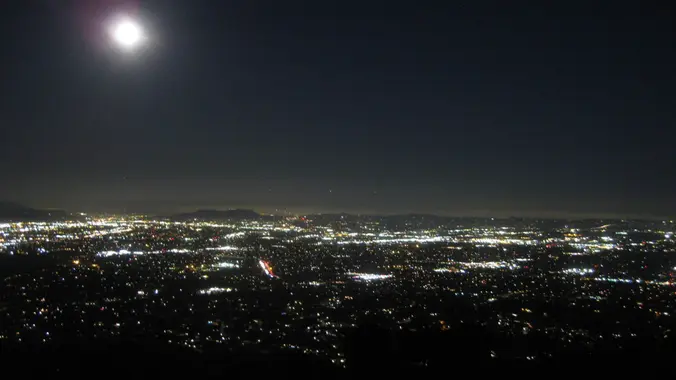
STATS Difficulty: 4/10, Steep up & down, with some slippery spots Length: 3 miles, 2 hours plus breaks Elevation Gain & Loss: 1225’; Peak: 2700’ View: Amazing 360 View of Valleys and Mountains Details: This hike has some STEEP moments but has a bench at the top to relax on. We made a new uphill […]

PARAMOUNT RANCH AND THE LADY’S SOUTHFACE “Car Shuttle”

Ladyface Agoura Hills, CA, US

BEFORE YOU WILL BE MOVED TO THE GOING LIST, YOU WILL NEED TO UPDATE YOUR CDH PROFILE (The three questions must be answered with a "yes") IF YOU HAVE NOT ALREADY DONE SO. NEED HELP: go to: https://wp.me/P9MbG4-hC Join me on a short but challenging trek that is in our local Santa Monica Mountains. After […]

China Flats – Intermediate

China Flat Trailhead 34.193558, -118.775137, Oak Park, ca, US

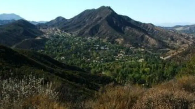
3 miles, 1000' gain, Intermediate. The entire first half is an incline. Nothing super steep, but beginners will find this climb exhausting. Fit beginners can still complete this hike, as we'll be stopping at junctions to let everybody catch up. This is not a conditioning hike, it is a social hike. There are several routes […]

SANTA SUSANA CAVE AND ROCK FIELD above Chatsworth Park North

Santa Susana Pass State Historic Park Lilac Lane, Simi Valley, ca, US

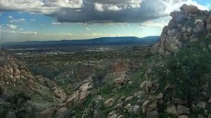
BEFORE YOU WILL BE MOVED TO THE GOING LIST, YOU WILL NEED TO UPDATE YOUR CDH PROFILE (The three questions must be answered with a "yes") IF YOU HAVE NOT ALREADY DONE SO. NEED HELP: go to: https://wp.me/P9MbG4-hC Join me on a walkabout near The Santa Susana Pass above Chatsworth Park North if you like […]

Elliot Peak via Western Plateau

Conejo Canyons Trail Head 2010 Conejo Center Dr, Thousand Oaks, CA, US

https://www.alltrails.com/trail/us/california/elliott-peak-via-western-plateau-trail Hello Fellow Hikers,This is another popular area which makes it nice to hit on a weekday. It's popular as the scenery has a little of everything. Open views a peak and easy trails to follow. The incline is doable and gratual. Will be doing a small loop with most being out and back. I […]

Trail Restoration on the Guadalasca Trail in Pt. Mugu State Park (Sycamore Cyn)

Wendy Trail Head 3996-4128 Potrero Rd, Thousand Oaks, CA, US

BEFORE YOU WILL BE MOVED TO THE GOING LIST, YOU WILL NEED TO UPDATE YOUR CDH PROFILE (The three questions must be answered with a "yes") IF YOU HAVE NOT ALREADY DONE SO. NEED HELP: go to: https://wp.me/P9MbG4-hC We have made a lot of progress with fixing the ruts on Guadalasca, but long sections were […]

Condor Peak Exploratory Scramble

Trail Canyon Trail Trail Canyon Rd., Tujunga, CA, US

Trying a new route and avoiding a car shuttle this time around. Limiting the number of attendees since it's exploratory and going to be a long day/hike. Write up is Don's: The Stats Distance: 16 miles Elevation Gain: >4000 Rating : 9/10, for the experienced only - not for beginner or slow hikers Trail: Uneven […]


Trail statistics are approximate. For safety purposes always assume they are underestimated. But don’t be disappointed if they are overestimated. Bring more water and snacks than you think you’ll need.

Trail descriptions are based on previous hikes. Current conditions are unknown until arrival. Expect the unexpected and plan accordingly.

The Organizers and members of Hiking With Dean are not professional leaders, guides, or mountaineers. The function of the member or organizer is only to organize the trip. Each person who shows up for a trip/meetup (and their guest or guests) is responsible for his or her own safety. By attending a hike, or any other event organized by this group, you are acknowledging that you and any guests that you bring are aware of the risks, dangers and hazards associated with the activity and freely accept and fully assume all such risks, dangers and hazards, and further agree to release and discharge the Organizers, Members of the Hiking With Dean Meetup Group from and against any and all liability arising from your participation in the group activities per our ASSUMPTION OF RISK AND LIABILITY WAIVER and Section 6.2 of the Meetup.com Terms of Service.