
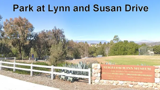
Lynn Road to Rosewood Trail to Angel Vista ~ gentler friendly
This is a 4-5 mile out-and-back trip from Lynn Road to the Rosewood Trail to Angel Vista. We’ll park at the playfield near Stagecoach Inn and walk from Lynn Road […]

This is a 4-5 mile out-and-back trip from Lynn Road to the Rosewood Trail to Angel Vista. We’ll park at the playfield near Stagecoach Inn and walk from Lynn Road […]
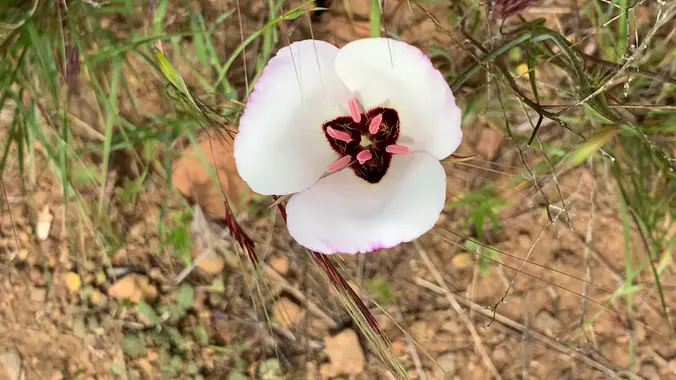
This is a second hike for Thursday. If you decide to switch hikes, be sure to cancel Laurie's hike even if you're on the waitlist. Some people are having trouble […]
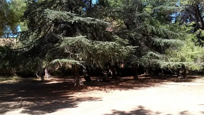
4 mi, 500' gain, beginner Easier option: 1.5 mi, 125' gain, beginner. This is a beginner hike on the beautiful Limekiln trail. This hike is a slight lollipop, (the shape […]
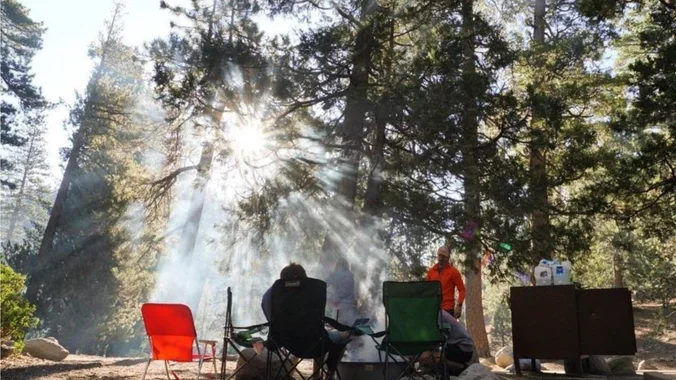
INFORMATIONAL POSTING ONLY Have you ever wanted to learn to backpack and get away from the crowds of people? Learn how to backpack in 3 Saturday courses (4/26, 5/10, 5/17) […]
INFORMATIONAL POSTING ONLY Have you ever wanted to learn to backpack and get away from the crowds of people? Learn how to backpack in 3 Saturday courses (4/26, 5/10, 5/17) […]
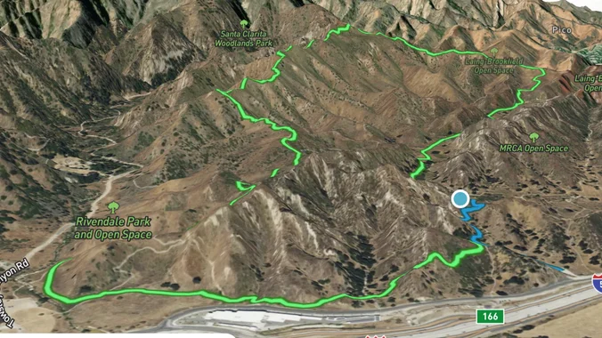
DESCRIPTION: This hike is the first in a new collection of hikes targeted to explore local (or reasonably local) trails that are not necessarily the "shining stars" of local hikes. […]

This hike will be about 7 miles total with 1200 ft. of elevation gain. We are starting at the parking lot at the Wahoo's parking lot. We will take Live Oak Trail. This turns into Serrano Road which will take us to Serrano Cow Trail. At this part of the trail, we usually see a […]

Let's conquer Sitton Peak again! This peak is located in the Santa Ana Mountains in the Cleveland National Forest. The total mileage for this hike should be 9.5-10 miles with approximately 2,000' of elevation gain. This will be an out and back. This hike starts on the Bear Canyon Loop Trail, which takes us to […]
We are going to be starting at the Canyon View Staging Area. This hike will be about 6.2 miles with around 1,000 ft. of elevation gain. We will be starting at Canyon View Park and taking Cholla up to West Ridge and comic down Mathis. Link to Parking from Google Maps: https://www.google.com/maps/place/Canyon+View+Staging+Area/@33.585273,-117.7465062,17z/data=!3m1!4b1!4m5!3m4!1s0x80dce61b6bd45c2d:0x5ef3f1ad687cc8b5!8m2!3d33.585273!4d-117.7443175 Dogs are not […]
Trail statistics are approximate. For safety purposes always assume they are underestimated. But don’t be disappointed if they are overestimated. Bring more water and snacks than you think you’ll need. Trail descriptions are based on previous hikes. Current conditions are unknown until arrival. Expect the unexpected and plan accordingly. The Organizers and members of Hiking With Dean are not professional leaders, guides, or mountaineers. The function of the member or organizer is only to organize the trip. Each person who shows up for a trip/meetup (and their guest or guests) is responsible for his or her own safety. By attending a hike, or any other event organized by this group, you are acknowledging that you and any guests that you bring are aware of the risks, dangers and hazards associated with the activity and freely accept and fully assume all such risks, dangers and hazards, and further agree to release and discharge the Organizers, Members of the Hiking With Dean Meetup Group from and against any and all liability arising from your participation in the group activities per our ASSUMPTION OF RISK AND LIABILITY WAIVER and Section 6.2 of the Meetup.com Terms of Service. |

Recent Comments