Site Search

Hiking Calendar

Corriganville the Back Way Double Loop Lollipop

Rocky Peak Trail 7900 Santa Susana Pass Rd, Simi Valley, CA, US

4 miles, 700' gain, easy-intermediate Easy option: 2.5 miles, 500' gain Parking on the south side of the CA-118 at the Rocky Peak exit. We'll walk west along the Santa […]

BACKPACKING LEADERSHIP: For Advanced Backpackers

Online event

Invite Only. This meeting serves as a continuation of our collaborative leadership discussion and will take place over Zoom. Topics: 🌼 Review CalTopo with Rocky 🌼 Personal locator beacons 🌼 […]

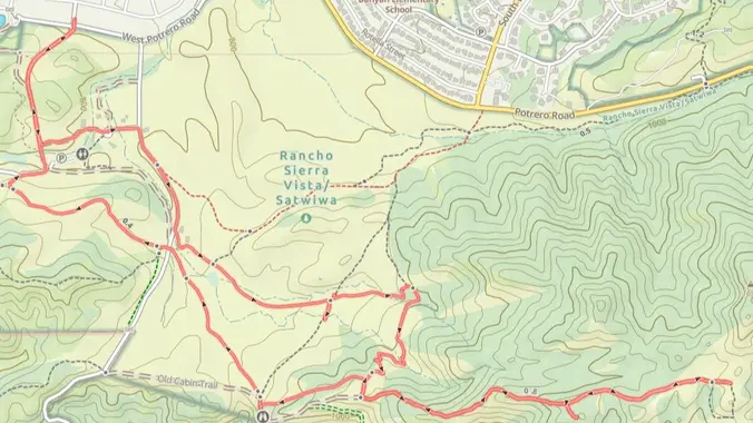
RSV Through The Back Door – a Gentler (not Beginner) Hike

RSV Back Door Trailhead Potrero Road, Thousand Oaks, CA, United States

*PLEASE* read the directions to the different parking location. We generally get into Rancho Sierra Vista either through the RSV parking lot, or the dusty lot at the end of […]

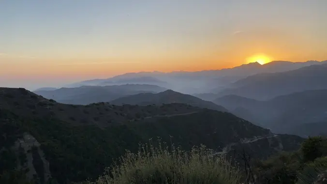
OC Turtle Rock Sunset Hike

1 Concordia, Irvine, CA Concordia, Irvine, CA, United States

This popular trail near the Irvine Turtle Rock neighborhood is a fantastic hike, featuring a 4.2-mile loop with a 900-foot elevation gain. It's typically completed in about 2 hours at […]

Talopop – Suitable for fit beginners

Talopop at Juan Bautista de Anza Park 3701 Lost Hills Road, Calabasas, CA, US

Fit Beginner, 4.1 miles, 720' gain. Easier route: 3.9 miles, 500' gain. Is it Talepop or Talopop? Maps and signs that I have seen, use the 2nd spelling, but a […]

Lizard Rock Loop

Tennis Court parking lot 635 W Avenida de Los Arboles, Thousand Oaks, CA, US

Easy Intermediate, 4.5 miles, 600' gain Easier Option, 3.5 miles, 460' gain This is a unique loop through Wildwood Park that takes us to the famous Lizard Rock. There are […]

Hike to the Sinks at Limestone Canyon **Must register on Letsgooutside.org

Augustine Staging Area E Santiago Canyon Rd and Hicks Haul Rd, Silverado, CA, US

The hike we are doing is about 10 miles with 1,000 ft of elevation gain **Must register here: https://letsgooutside.org/activities/2024/08/03/wilderness-access-day-limestone-canyon-57/ All participants are required to have, a printed copy or on […]


Trail statistics are approximate. For safety purposes always assume they are underestimated. But don’t be disappointed if they are overestimated. Bring more water and snacks than you think you’ll need.

Trail descriptions are based on previous hikes. Current conditions are unknown until arrival. Expect the unexpected and plan accordingly.

The Organizers and members of Hiking With Dean are not professional leaders, guides, or mountaineers. The function of the member or organizer is only to organize the trip. Each person who shows up for a trip/meetup (and their guest or guests) is responsible for his or her own safety. By attending a hike, or any other event organized by this group, you are acknowledging that you and any guests that you bring are aware of the risks, dangers and hazards associated with the activity and freely accept and fully assume all such risks, dangers and hazards, and further agree to release and discharge the Organizers, Members of the Hiking With Dean Meetup Group from and against any and all liability arising from your participation in the group activities per our ASSUMPTION OF RISK AND LIABILITY WAIVER and Section 6.2 of the Meetup.com Terms of Service.