Site Search

Hiking Calendar

Oak Creek Canyon to Los Robles East ~ Gentler Intermediate

498 Greenmeadow Ave 498 Greenmeadow Ave, Thousand Oaks, CA, US

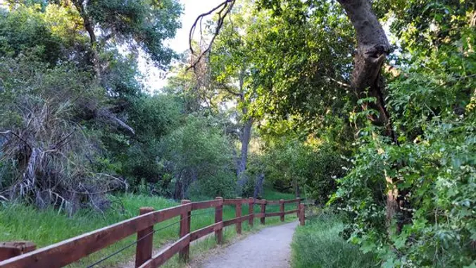
Oak Creek Canyon Trail is a rather special trail in Los Robles Open Space that is designed for the blind as well as the sighted. The all-access trail is shaded […]

Las Llajas – Suitable for beginners

Las Llajas Canyon Trail trailhead 5715 Evening Sky Drive, Simi Valley, CA, Simi Valley, CA, US

5 miles, 500' gain, Beginner This hike is a great trail for beginners because all the elevation gain is distributed. It is a walk down a rolling fire road through […]

Wilderness Access Day – Bommer Canyon

Bommer Canyon Community Park 11 Bommer Canyon, Irvine, CA, US

We will be playing it by ear a bit, but we will be doing a hike that will be around 5 miles with 800-900 ft. of elevation gain. **You do […]

Eaton Saddle to Inspiration Pt and back, summiting Mt Lowe (a loop)

Eaton Saddle Trailhead Mt Wilson Red Box Rd, La Cañada Flintridge, CA, US

**** Rain falling at the Trailhead can cancel hike **** ================================================= *** Yes the road is open all the way to Mt Wilson *** **Highway 2 is closed beyond Red […]

Woodridge Loop and Sunset Hills Loop Trails

Woodridge Loop Trail Woodridge Loop Trail, Thousand Oaks, CA, US

https://www.alltrails.com/explore/recording/woodridge-loop-and-sunset-hills-loop-trails-c900fe9 Hello Fellow Hikers, This one we will be combining two Trails in one. Will be doing both the Woodridge Loop and the Sunset Hills Loop Trail. Both of these […]

Photos from SoCal Seven Summits #5 Telegraph Peak

Online event

Share your photos from SoCal Seven Summits hike #5 Telegraph Peak (8,989') of the Wilderness Adventure Section’s Southern California Seven Summits Series. The hike was a partial loop of 14 […]

Red Rock Canyon Potluck Hike

1699 Stunt Rd 1699 Stunt Rd, Calabasas, CA, US

Easy-Intermediate, 4 miles, 800' gain. Option not to hike: If for some reason you don't want to hike but still want to come, the social event can be driven to, […]

[asa2_collection tpl=”Flex_1″ orderby=”rand” limit=”4″]2[/asa2_collection]

Trail statistics are approximate. For safety purposes always assume they are underestimated. But don’t be disappointed if they are overestimated. Bring more water and snacks than you think you’ll need.

Trail descriptions are based on previous hikes. Current conditions are unknown until arrival. Expect the unexpected and plan accordingly.

The Organizers and members of Hiking With Dean are not professional leaders, guides, or mountaineers. The function of the member or organizer is only to organize the trip. Each person who shows up for a trip/meetup (and their guest or guests) is responsible for his or her own safety. By attending a hike, or any other event organized by this group, you are acknowledging that you and any guests that you bring are aware of the risks, dangers and hazards associated with the activity and freely accept and fully assume all such risks, dangers and hazards, and further agree to release and discharge the Organizers, Members of the Hiking With Dean Meetup Group from and against any and all liability arising from your participation in the group activities per our ASSUMPTION OF RISK AND LIABILITY WAIVER and Section 6.2 of the Meetup.com Terms of Service.