Site Search

Hiking Calendar

QUICK HIKE@ ECHO MOUNTAIN

Cobb Estate Hike 3302 Lake Ave, Altadena, CA, US

BEFORE YOU WILL BE MOVED TO THE GOING LIST, YOU WILL NEED TO UPDATE YOUR CDH PROFILE (The three questions must be answered with a "yes") IF YOU HAVE NOT ALREADY DONE SO HOW TO UPDATE YOUR PROFILE:https://wp.me/P9MbG4-hC Please join me for an early, short hike to Echo mountain via the San Merrill trail. I […]

Paradise Falls – Moonridge – Easy Intermediate

Tennis Court parking lot 635 W Avenida de Los Arboles, Thousand Oaks, CA, US

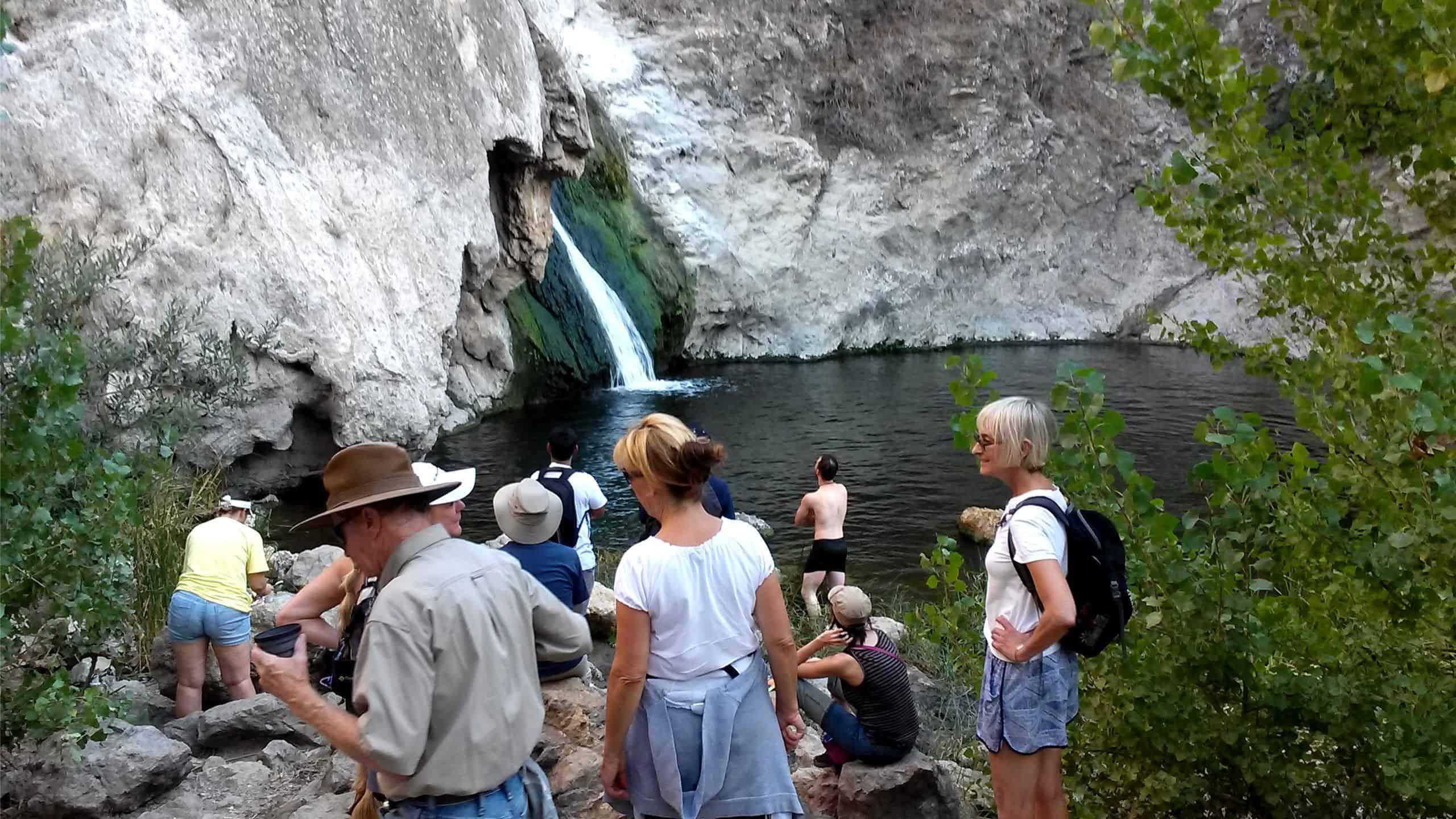
3.3 miles, 800' gain, fit beginner. A hike to Paradise Falls is one of the most popular things to do for those visiting Simi Valley, yet a lot of people that live nearby rarely make this fun hike or perhaps have never done it. There are several paths one can take to the falls. This […]

Inspiring & Challenging Steep Moonlight Hike: Mission Peak Loop in Granada Hills

18000 Sesnon Blvd 18000 Sesnon Blvd, Granada Hills, CA, US

STATSDifficulty: 4/10, Steep up & down, with some slippery spotsLength: 3 miles, 2 hours plus breaksElevation Gain & Loss: 1225’; Peak: 2700’View: Amazing 360 View of Valleys and MountainsDetails: This hike has some STEEP moments but has a bench at the top to relax on. We made a new uphill trail, which is not on […]

MONTECITO & SUMMERLAND TRAILS + Ennisbrook Preserve – an enchanted forest

Ennisbrook Preserve trailhead 1790 San Leandro Ln, Montecito, ca, US

BEFORE YOU WILL BE MOVED TO THE GOING LIST, YOU WILL NEED TO UPDATE YOUR CDH PROFILE (The three questions must be answered with a "yes") IF YOU HAVE NOT ALREADY DONE SO.NEED HELP:go to: https://wp.me/P9MbG4-hC I've always enjoyed driving through Montecito, one of the most beautiful landscaped communities around. I've found trails that meander […]

Afternoon Delight: Oak Creek Canyon-Los Robles-Los Padres Loop

Greenmeadow Trailhead - HWD 820 Greenmeadow Ave, Thousand Oaks, ca, US

This is a potluck hike in the Los Robles Open Space. We will do the Oak Creek Canyon-Los Robles-Los Padres Loop among some beautiful oak groves and great views of the Conejo Valley. That will be about 4.5 miles with 900' total ascent and is rated MEDIUM (see https://www.hikingwithdean.com/hike-rating-guide/) There are facilities at the trailhead […]

MT LUKENS

Deukmejian Wilderness Park 3429 Markridge Rd, Glendale, CA, US

BEFORE YOU WILL BE MOVED TO THE GOING LIST, YOU WILL NEED TO UPDATE YOUR CDH PROFILE (The three questions must be answered with a "yes") IF YOU HAVE NOT ALREADY DONE SO HOW TO UPDATE YOUR PROFILE:https://wp.me/P9MbG4-hC Mount Lukens (5074') stands majestically above the Crescenta Valley as the western most peak of the San […]

Long Canyon – Upside down lollipop

Long Canyon Trailhead Parking Lot 597 Shadow Ln,, Simi Valley, CA, US

Easy Intermediate, 4 miles, 900' gain. Easy Intermediate means it is on the easy end of the intermediate spectrum: https://www.meetup.com/Hiking-Plus/messages/boards/thread/50879781 This is an upside down lollipop that takes us first to the highest point in the area where the views are fantastic. The return is down around the back side of the hill at the […]

LAS VIRGENES CREEK TRAIL

Talopop at Juan Bautista de Anza Park 3701 Lost Hills Road, Calabasas, CA, US

BEFORE YOU WILL BE MOVED TO THE GOING LIST, YOU WILL NEED TO UPDATE YOUR CDH PROFILE (The three questions must be answered with a "yes") IF YOU HAVE NOT ALREADY DONE SO.NEED HELP:go to: https://wp.me/P9MbG4-hC We'll be hiking 4 miles along the relatively new Las Virgenes Creek trail which will be perfect for beginners […]

Cheeseboro Ridge and Modelo Trail Loop

Cheeseboro and Palo Comado Canyon 5792 Chesebro Rd, Agoura Hills, CA, US

https://www.alltrails.com/trail/us/california/cheeseboro-ridge-and-modelo-trail-loop Hello Fellow Hikers,Cheeseboro Ridge is a pretty open view hike of mountains and trails. Nice amount of elevation with stretches of leveled off sections. This s a popular area on the weekends with hikers and mountain bikers alike. Will be following the hike s a loop from AllTrails.I have attached the AllTrails link for […]


Trail statistics are approximate. For safety purposes always assume they are underestimated. But don’t be disappointed if they are overestimated. Bring more water and snacks than you think you’ll need.

Trail descriptions are based on previous hikes. Current conditions are unknown until arrival. Expect the unexpected and plan accordingly.

The Organizers and members of Hiking With Dean are not professional leaders, guides, or mountaineers. The function of the member or organizer is only to organize the trip. Each person who shows up for a trip/meetup (and their guest or guests) is responsible for his or her own safety. By attending a hike, or any other event organized by this group, you are acknowledging that you and any guests that you bring are aware of the risks, dangers and hazards associated with the activity and freely accept and fully assume all such risks, dangers and hazards, and further agree to release and discharge the Organizers, Members of the Hiking With Dean Meetup Group from and against any and all liability arising from your participation in the group activities per our ASSUMPTION OF RISK AND LIABILITY WAIVER and Section 6.2 of the Meetup.com Terms of Service.