• Rosewood Trail: Lynn to Angel Vista – Gentler Intermediate

    150 Regal Oak Ct 150 Regal Oak Ct, Thousand Oaks, CA, US

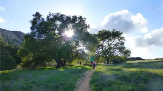
    Meet at the Rosewood sign, which is on the Regal Oak Ct. and Lynn Rd. intersection. The hike is about 5 miles with an elevation gain/loss approximately 900’. We'll walk a short distance on Lynn road to the lower Rosewood Trail, then take the dirt trail up a shaded ravine and continue on the Rosewood […]

  • Post-Thanksgiving hike: Wildwood Central Park ~ Gentler Intermediate

    Wildwood Regional Park 928 W Avenida De Los Arboles, Thousand Oaks, CA, US

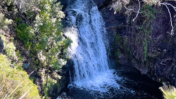
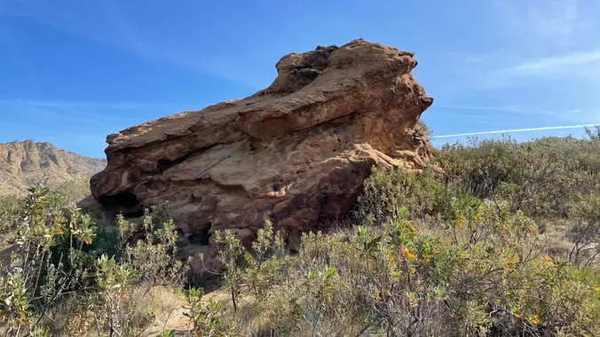
    Wildwood Park in Thousand Oaks is one of the most versatile local parks there is, with 27 miles of trails skittering through rocky cliffs, cacti-filled desert environs, volcanic rock, riparian forest, and a cool, watery canyon. Highlights of the hike include waterfalls incorporating 40’ Paradise waterfalls along with a long creek, Indian caves, volcanic rock […]

  • Gold Canyon Trail to Wildwood Park

    646 San Andres Cir 646 San Andres Cir, Thousand Oaks, CA, US

    This hike starts at 8:30 am to beat the heat from Gold Canyon Trail to Wildwood Canyon Trail. It will pass through various trails with a long creek, crossing streams and bridges, Indian caves, volcanic rock cliffs, water falls, cacti-filled desert environs, riparian forest, and wildflowers. Highlights of the hike include waterfalls incorporating 40’ Paradise […]

  • Chumash Trail to Rocky Peak/Triangle

    Chumash Park and Trail 3200 Flanagan Dr, Simi Valley, CA, US

    Today we will hike up the Chumash Trail in Simi Valley, and turn left at the top to the "Triangle" as Barbara calls it. The hike will be an out and back, and will be 7.7 miles with 1600 ft gain. It's a nice mostly single track trail during the first climb with pretty views […]

  • Rosewood Trail: Lynn to Angel Vista – Gentler Intermediate

    150 Regal Oak Ct 150 Regal Oak Ct, Thousand Oaks, CA, US

    Meet at the Rosewood sign, which is on the Regal Oak Ct. and Lynn Rd. intersection. The hike is about 5 miles with an elevation gain/loss approximately 900’. We'll walk a short distance on Lynn road to the lower Rosewood Trail, then take the dirt trail up a shaded ravine and continue on the Rosewood […]

  • Palo Comado to the Edge of China Flat – Gentler Friendly but not Beginner

    Palo Comado Canyon - Doubletree Trailhead Aspen Ridge Ct, Oak Park, CA, US

    Palo Comado ("Burnt Stick" in Spanish) tells you a lot about the environs - frequently burned over by wildfires, this was directly in the line of the Woolsey Fire but much of the vegetation has re-grown. This is one of many routes from the Conejo Valley to China Flat. Except for one turn near the […]

  • Ray Miller Trail in La Jolla Canyon ~ Gentler Intermediate

    Ray Miller Trailhead Malibu, CA, US

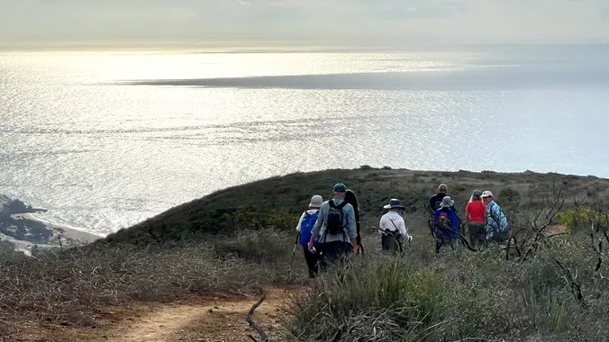
    The Ray Miller Trail is an awesome blend of ocean and mountain views in Malibu’s La Jolla Canyon. We will start from the trailhead which follows the canyon eastward, away from the ocean. Then, it quickly brings you back toward the ocean at a gradual incline. There’s a great lookout spot where it gives you […]

  • Lang Ranch to Simi Peak – Intermediate Hike

    Lang Ranch Open Space 3536 Lang Ranch Parkway, Thousand Oaks, CA, US

    UPDATE: Please review our guidelines to participate in our hikes. Here are some highlights and a link to the guidelines: https://www.meetup.com/The-Weekday-Trailblazers/about/ Restrictions apply for your safety and ours: Don't show up unless you're on the "Attending" list No "Plus Ones" on this hike Plan on completing the entire hike at a reasonable pace or please […]

  • Danielson Monument (Fast Paced)

    Portero Rd. & S. Wendy Dr. Portero Rd. & S. Wendy Dr., Newbury Park, CA, US

    Please bring a headlamp or flashlight. Please review our guidelines to participate in our hikes. Restrictions apply for your safety and ours: Don't show up unless you're on the "Attending" list No "Plus Ones" on this hike Plan on completing the entire hike at a reasonable pace or please find an alternative hike that better […]


Trail statistics are approximate. For safety purposes always assume they are underestimated. But don’t be disappointed if they are overestimated. Bring more water and snacks than you think you’ll need.

Trail descriptions are based on previous hikes. Current conditions are unknown until arrival. Expect the unexpected and plan accordingly.

The Organizers and members of Hiking With Dean are not professional leaders, guides, or mountaineers. The function of the member or organizer is only to organize the trip. Each person who shows up for a trip/meetup (and their guest or guests) is responsible for his or her own safety. By attending a hike, or any other event organized by this group, you are acknowledging that you and any guests that you bring are aware of the risks, dangers and hazards associated with the activity and freely accept and fully assume all such risks, dangers and hazards, and further agree to release and discharge the Organizers, Members of the Hiking With Dean Meetup Group from and against any and all liability arising from your participation in the group activities per our ASSUMPTION OF RISK AND LIABILITY WAIVER and Section 6.2 of the Meetup.com Terms of Service.