Site Search

Ventura County Day Hikes

Tapo Canyon Trail

Tapo Canyon Road Tapo Canyon Rd, Simi Valley, CA, US

https://www.alltrails.com/trail/us/california/tapo-canyon-trail?u=i Hello fellow hikers, The heat is here but we still need to keep moving so the goal is to hit this trail (which has partial shade ) and be back at our cars before it gets to hot... so... Join me on a easier moderate hike at Tapo Canyon Trail in Simi Valley. This […]

Vital Link Trail

Wildwood Canyon Park Wildwood Canyon Rd, Burbank, CA, US

https://www.alltrails.com/trail/us/california/vital-link-trail?ref=result-card Hello Fellow Hikers, Be prepared for those calves to burn! This is a popular trail for those who are conditioning or training this is a lot of elevation in a short amount of time. We are gonna do this as a loop hike so our miles will be just over 6. This hike will […]

San Dimas Canyon to Sunset Peak Radio Towers

San Dimas Canyon Dam Area 9865 N San Dimas Canyon Rd, La Verne, CA, US

https://www.alltrails.com/trail/us/california/san-dimas-canyon-to-sunset-peak-radio-towers?u=i * We are gonna be doing this awesome hike for the second time if you joined us the first time...this time we will be doing the additional .25 mile to the actual towers so please note our distance will be closer to 18-18.5 miles with elevation gain closer to 5,000 please note this is […]

Strawberry Peak via Redbox Canyon

Strawberry Peak Trailhead Strawberry Peak trail, Palmdale, CA, US

https://www.alltrails.com/trail/us/california/strawberry-peak-trail-via-redbox-canyon Hello Fellow Hikers, This is also one of the 6 peak challenges. This one starts across from Redbox and has a nice gradual climb. Until you get to your turn off to head up to Strawberry Peak then the fun begins. This one can mess with your mind due to all the false peaks […]

Mount Pinos, Sawmill Mountain and Grouse Mountain

Mt. Pinos Nordic Base Cuddy Valley Rd, Frazier Park, CA, US

https://www.alltrails.com/trail/us/california/mount-pinos-sawmill-mountain-and-grouse-mountain-via-condor-summit-and-vincent-tumamai Hello Fellow Hikers, This hike is better known as the 321 Challenge... Three Peaks (Pinos, Sawmill, Grouse) in Two Counties (Kern County and Ventura County) in One Day. Mount Pinos has a elevation of 8847 which will be our first stop. Then will make our way to Sawmill Mountain which has a elevation of […]

Tapo Canyon Trail

Tapo Canyon Road Tapo Canyon Rd, Simi Valley, CA, US

https://www.alltrails.com/trail/us/california/tapo-canyon-trail?u=i Hello fellow hikers, The heat is here but we still need to keep moving so the goal is to hit this trail (which has partial shade ) and be back at our cars before it gets to hot... so... Join me on a easier moderate hike at Tapo Canyon Trail in Simi Valley. This […]

Ladyface Trail

Lady Face Trail Head 4163-4599 Kanan Rd, Agoura Hills, CA, US

https://www.alltrails.com/trail/us/california/ladyface-trail Hello Fellow Hikers, Okay it's Memorial Day and what a better way to start it out then getting in a good workout before you enjoy the day. Well if you haven't done this one before then your in for a workout alright. Don't let the 2 miles fool you this is a incline hike […]

Mount Baden Powell Trail

Pacific Crest Trailhead Irwindale, CA, US

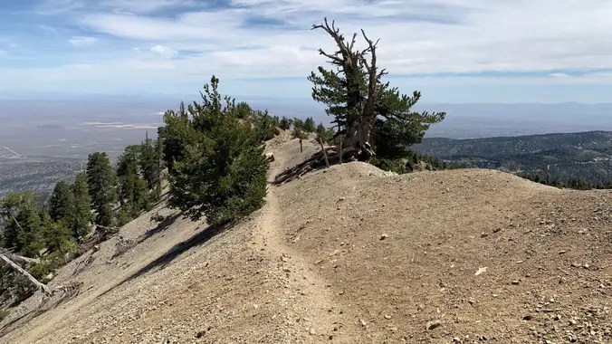
https://www.alltrails.com/trail/us/california/mount-baden-powell Hello fellow Hikers, We are gonna hit another one of the 6 pack of peaks with Mount Baden Powell. This one will take us to a elevation of 9406 were we will be rewarded with a flag and trail sign. This trail is known for its 40 switchbacks and a 1500 year old limber […]

Mount San Antonio and Mount Baldy Notch Trail

Mt Baldy Trailhead 901-993 Falls Rd, Mt Baldy, CA, US

https://www.alltrails.com/trail/us/california/mount-san-antonio-mount-baldy-notch-trail Hello Fellow Hikers, Okay if you haven't done Mount San Antonio before you are in for a treat! This is my favorite route up Mount Baldy. We will be taking the Ski Hut trail to Baldy Bowl then onto the ridge to the top of Mount San Antonio 10,069 ft. Once on top we […]


Trail statistics are approximate. For safety purposes always assume they are underestimated. But don’t be disappointed if they are overestimated. Bring more water and snacks than you think you’ll need.

Trail descriptions are based on previous hikes. Current conditions are unknown until arrival. Expect the unexpected and plan accordingly.

The Organizers and members of Hiking With Dean are not professional leaders, guides, or mountaineers. The function of the member or organizer is only to organize the trip. Each person who shows up for a trip/meetup (and their guest or guests) is responsible for his or her own safety. By attending a hike, or any other event organized by this group, you are acknowledging that you and any guests that you bring are aware of the risks, dangers and hazards associated with the activity and freely accept and fully assume all such risks, dangers and hazards, and further agree to release and discharge the Organizers, Members of the Hiking With Dean Meetup Group from and against any and all liability arising from your participation in the group activities per our ASSUMPTION OF RISK AND LIABILITY WAIVER and Section 6.2 of the Meetup.com Terms of Service.