
Sunday hike
Marvin Braude Mulholland Gateway Park 3600 Reseda Blvd, Tarzana, CA, USThe Keyhole 7 memorial bench was installed in April 2016 as a tribute to our friends we lost in Zion in September 2015. It survived the fire that swept through […]

The Keyhole 7 memorial bench was installed in April 2016 as a tribute to our friends we lost in Zion in September 2015. It survived the fire that swept through […]
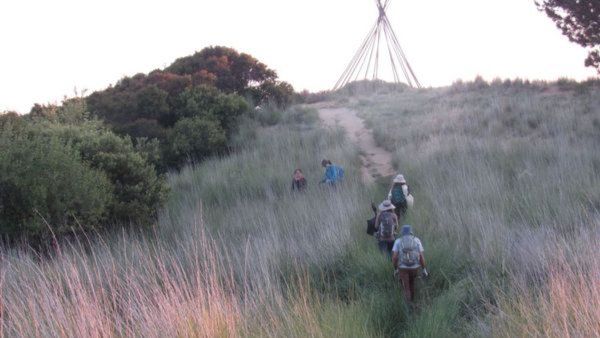
Hiking to the teepee in honor of our Keyhole friends. Join me if you can, I know its sudden and weather is still warm but hoping it will be cooler […]
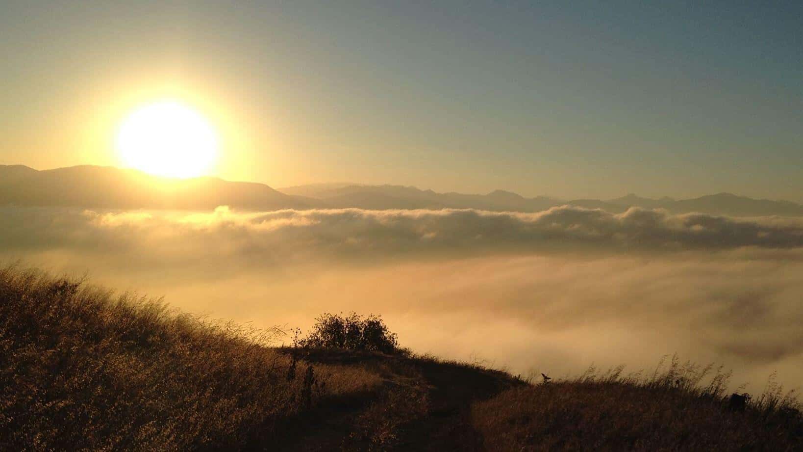
Description:The hike ascends to Mission Point, aka Mission Peak, via the Mario A DeCampos Trail. The peak is the second highest summit in the Santa Susana mountain range behind Oat […]

Advanced Intermediate Hikers. You should be able: (1) to comfortably hike from an elevation of 8,100 ft. and summit at 10,000 ft., and (2) handle heights. Plan: To sleep in […]

We though it would be a nice morning hike to SP one of the DonT's favorite trails to remember our beloved friends we lost six years ago. Distance: 6> milesElevation […]
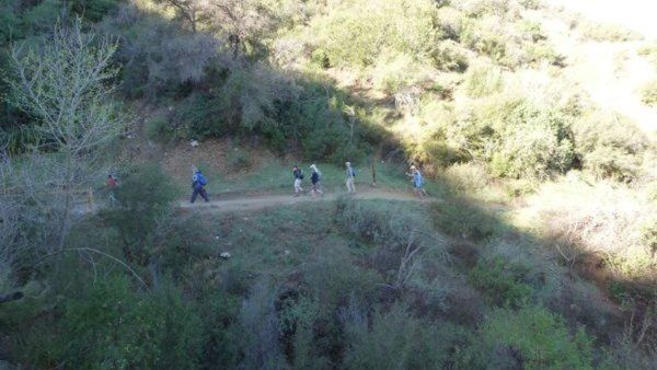
We thought it would be nice to get together for an early morning hike with brunch after to remember our beloved friends we lost 6 years ago. Option 1 6am: […]

We thought it would be nice to get together for a morning hike with brunch after to remember our beloved friends we lost 6 years ago. Los Pinetos is closed […]
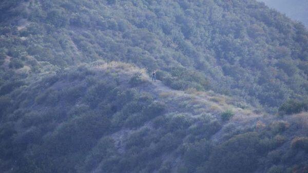
The Stats Distance 6.5 milesRating 6-7/10, not for beginnersElevation gain: 2000 ft.Trail: Fire Roads and Trails w/ some steep uphills The PlanDon's writeup Warning: This route starts uphill 1950 feet […]
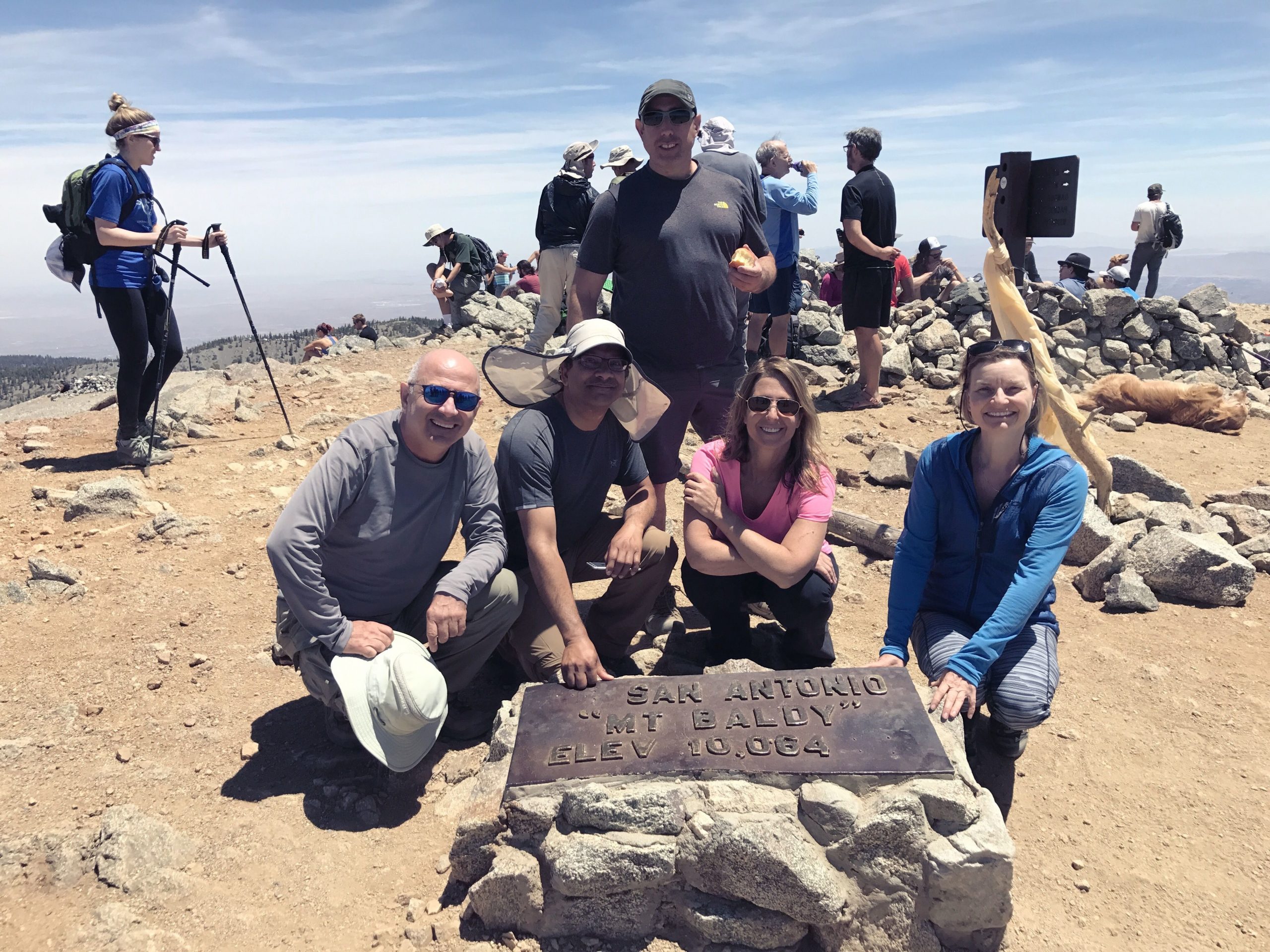
Sorry for the short notice but the forecast for thunderstorms has waffled back and forth. It finally looks like Sunday will be a day with zero T'storm chances. Hike to […]
[asa2_collection tpl=”Flex_1″ orderby=”rand” limit=”4″]2[/asa2_collection]
Trail statistics are approximate. For safety purposes always assume they are underestimated. But don’t be disappointed if they are overestimated. Bring more water and snacks than you think you’ll need. Trail descriptions are based on previous hikes. Current conditions are unknown until arrival. Expect the unexpected and plan accordingly. The Organizers and members of Hiking With Dean are not professional leaders, guides, or mountaineers. The function of the member or organizer is only to organize the trip. Each person who shows up for a trip/meetup (and their guest or guests) is responsible for his or her own safety. By attending a hike, or any other event organized by this group, you are acknowledging that you and any guests that you bring are aware of the risks, dangers and hazards associated with the activity and freely accept and fully assume all such risks, dangers and hazards, and further agree to release and discharge the Organizers, Members of the Hiking With Dean Meetup Group from and against any and all liability arising from your participation in the group activities per our ASSUMPTION OF RISK AND LIABILITY WAIVER and Section 6.2 of the Meetup.com Terms of Service. |
Meetuphikes.com is the brainchild of Dean, the founder and organizer of the Meetup hiking group Hiking With Dean. Here you will find past and upcoming Meetup group hikes from all over southern California. Don’t see your favorite group? Drop us a line and ask us to add it.
 MRCA Park Closures and Re-Openings
June 17, 2025
 Back to the Future
May 28, 2023
 Chivo Canyon to Coquina Mine
May 21, 2023
 Mission Point the Hard Way
May 12, 2023
 Lower Zuma Canyon – Big Loop
March 24, 2023
Recent Comments