Site Search

Valencia Hiking Crew

Towsley Canyon Late Afternoon Conditioning Hike

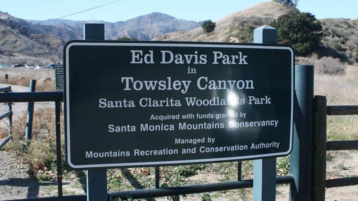
Ed Davis Park at Towsley Canyon 24255 The Old Rd, Newhall, CA, US

The Ed Davis Park in Towsely Canyon has several trails and we will take the most popular. Distance: 6 milesElevation Gain: 1600 ftDifficulty: Beginner to Intermediate pace.Dogs: are allowed in […]

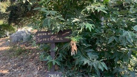
El Prieto to Brown Mt Trail & Ken Burton Junction

Odyssey Charter School 725 W Altadena Dr, Altadena, CA, US

Per Sachika and Carmen A. request. Out and back. Trail is well maintained, shaded and cooler in the canyon. Not for beginners. Distance: 6>Elevation Gain: 2086> we will find out […]

San Gorgonio via Vivian Creek trail

Big Falls Trailhead 1E13 41570 Falls Rd, Forest Falls, CA, US

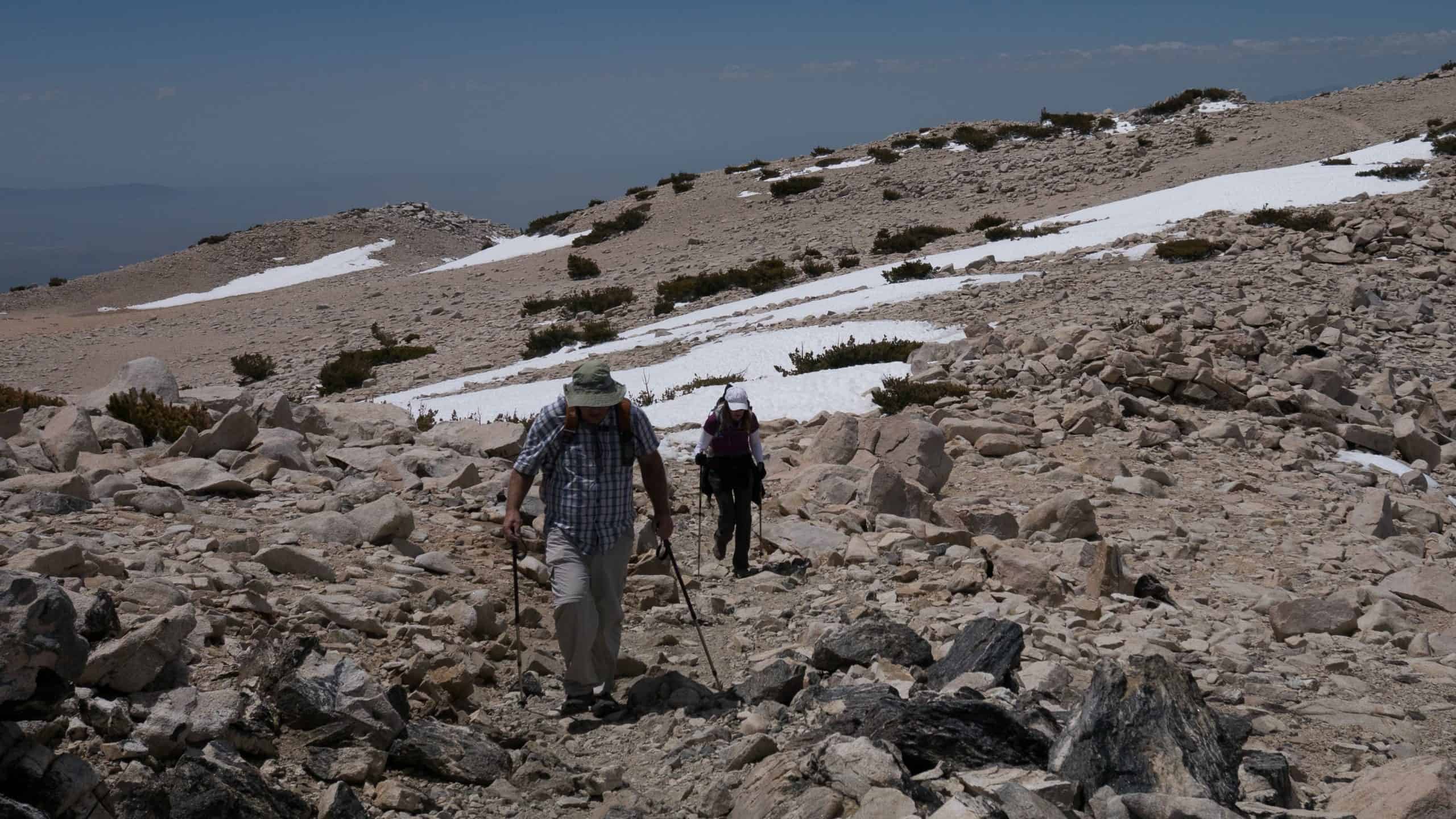
Total Distance: 18.5 milesElevation: 5,470 elevation gainRating: Strenuous I have a permit for 12 on July 31st and would love to have some company on this iconic and strenuous hike. […]

Joshua Tree National Park: Hiking and Shooting the Milky Way

Indian Cove Campground 7299 Indian Cove Road, Twentynine Palms, CA, US

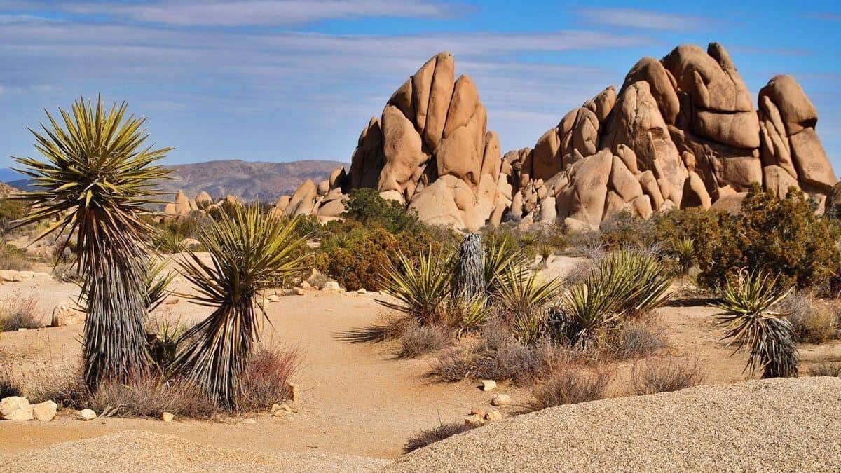
Joshua Tree NP is a regular VHC destination. And I was able to reserve a group campsite good for 20 people with parking for 8 cars. But due to the […]

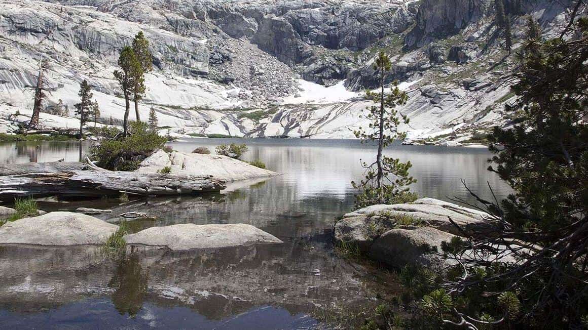
2-Night backpacking trip to Alta Peak and Pear Lake

Alta Peak Trailhead Sequoia National Park, CA, US

Description: This is a 2-night backpacking trip. On August 21, 2021, we meet at the Wolverton trailhead at 7:00 a.m. Then, we start our hike to Alta Peak at 7:30 […]

Long Canyon Trail Loop

Wood Ranch Trailhead Long Canyon Rd, Simi Valley, CA, US

Long Canyon Loop is approximately 6.4 miles and is a moderately trafficked loop trail located near Simi Valley in the Lang Ridge Open Space area. Disclaimer: This is a well […]

Sunday hike

Marvin Braude Mulholland Gateway Park 3600 Reseda Blvd, Tarzana, CA, US

The Keyhole 7 memorial bench was installed in April 2016 as a tribute to our friends we lost in Zion in September 2015. It survived the fire that swept through […]

[asa2_collection tpl=”Flex_1″ orderby=”rand” limit=”4″]2[/asa2_collection]

Trail statistics are approximate. For safety purposes always assume they are underestimated. But don’t be disappointed if they are overestimated. Bring more water and snacks than you think you’ll need.

Trail descriptions are based on previous hikes. Current conditions are unknown until arrival. Expect the unexpected and plan accordingly.

The Organizers and members of Hiking With Dean are not professional leaders, guides, or mountaineers. The function of the member or organizer is only to organize the trip. Each person who shows up for a trip/meetup (and their guest or guests) is responsible for his or her own safety. By attending a hike, or any other event organized by this group, you are acknowledging that you and any guests that you bring are aware of the risks, dangers and hazards associated with the activity and freely accept and fully assume all such risks, dangers and hazards, and further agree to release and discharge the Organizers, Members of the Hiking With Dean Meetup Group from and against any and all liability arising from your participation in the group activities per our ASSUMPTION OF RISK AND LIABILITY WAIVER and Section 6.2 of the Meetup.com Terms of Service.