Site Search

Santa Clarita Community Hiking Club

Mount Lukens via Dunsmore Canyon

Browns Canyon Rd Parking Browns Canyon Road, Los Angeles, CA, United States

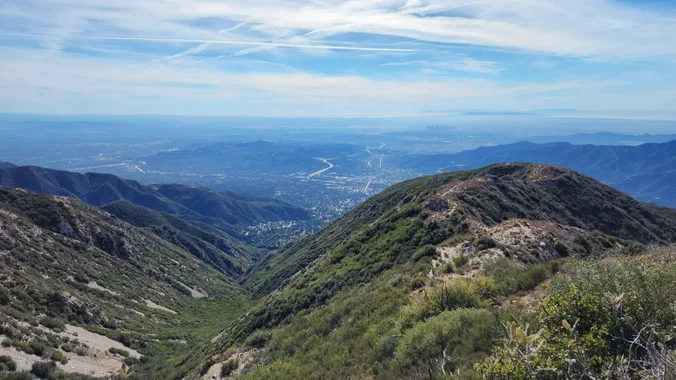
Mt. Lukens is the tallest peak in the Los Angeles city limits and it has spectacular views of the Los Angeles basin and surrounding mountains from the summit - so […]

Century Hike

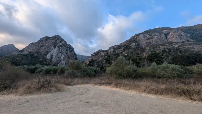
Malibu Creek State Park 1925 Las Virgenes Rd, Calabasas, CA, US

Meetup Time: 8:05 A.M. (Park Gates open at 8 AM) DISTANCE: 6.5 (ish) miles - Out and Back GAIN: 300 ft’ RATED: Beginner/Intermediate HIKE DURATION: About 4 hours (including a […]

Oak Spring Trail Loop (Turkey Trot)

Oak Spring Trail Gold Creek Road 9998, Los Angeles, CA, United States

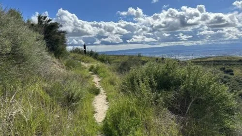
Need to work off some Thanksgiving dinner? If you also like stunning views, lush oak groves, and getting away from it all (while not really being too far from home) […]

Fish Canyon Narrows

37773 Templin Hwy 37773 Templin Hwy, Castaic, CA, US

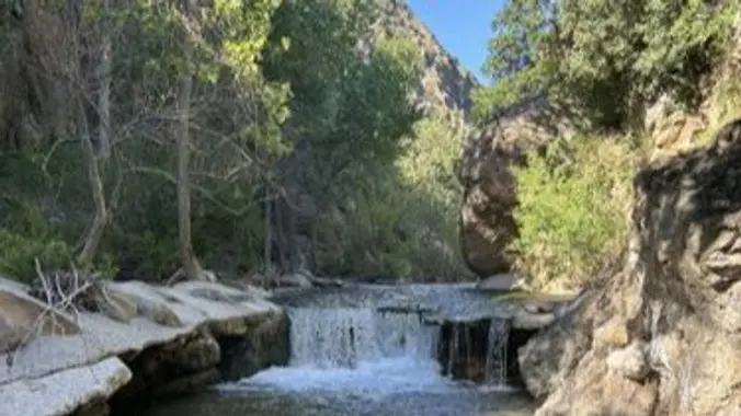
DESCRIPTION: Excellent write up of this hike at Hikespeak "Fish Canyon Narrows in the Sierra Polona Mountains" by Seth Snigelske. This is a beautiful area. Bring your camera. Not only […]

Kagel Mountain via Dillion Divide

Los Padres Trailhead Thousand Oaks, CA, United States

DESCRIPTION: This will be the last hike of 2024! I hope something a little closer to home and a little shorter to mark the end of the year might make […]

East Canyon Trail to Jones Junction

Rimrock Adventures Colorado 340 927, Fruita, CO, United States

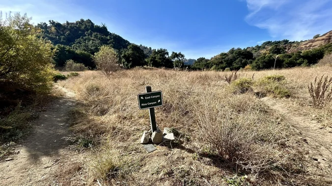
DESCRIPTION: We’re pivoting from the Chilao to Mt. Hillyer hike to a local favorite (East Canyon) in an abundance of caution due to local fires and to stay clear of […]

Chilao to Mt. Hillyer via Horse Flats Trail

CATALINA Avalon, CA, United States

DESCRIPTION: Let's start the new year with a 6.8-mile loop near Mt. Wilson, California. Generally considered a moderately challenging route. We will go clockwise around the loop. There are beautiful […]

Devils Chair Trail

Bellevue Recreation Center Lucile Avenue 826, Los Angeles, CA, United States

DESCRIPTION: From AllTrails… The Devil's Punchbowl is a point where 2 faults collide, creating upwards jutting vertical walls as high as 300 feet. It is a spectacular setting, with the […]

Santa Paula Canyon to Punchbowls

Chumash Trailhead - Pacific Coast Highway Naval Air Station Point Mugu, CA, United States

DETAILS: · Hike leader volunteer(s): Dave. · Meet: Trail head to the left of St. Thomas Aquinas College entrance. · Distance: ~ 10 Miles total (out and back style) · […]

[asa2_collection tpl=”Flex_1″ orderby=”rand” limit=”4″]2[/asa2_collection]

Trail statistics are approximate. For safety purposes always assume they are underestimated. But don’t be disappointed if they are overestimated. Bring more water and snacks than you think you’ll need.

Trail descriptions are based on previous hikes. Current conditions are unknown until arrival. Expect the unexpected and plan accordingly.

The Organizers and members of Hiking With Dean are not professional leaders, guides, or mountaineers. The function of the member or organizer is only to organize the trip. Each person who shows up for a trip/meetup (and their guest or guests) is responsible for his or her own safety. By attending a hike, or any other event organized by this group, you are acknowledging that you and any guests that you bring are aware of the risks, dangers and hazards associated with the activity and freely accept and fully assume all such risks, dangers and hazards, and further agree to release and discharge the Organizers, Members of the Hiking With Dean Meetup Group from and against any and all liability arising from your participation in the group activities per our ASSUMPTION OF RISK AND LIABILITY WAIVER and Section 6.2 of the Meetup.com Terms of Service.