• Wind Wolves Preserve – A Favorite CHC Hike!

    Wind Wolves Preserve 16019 CA-166, Bakersfield, CA, US

    DESCRIPTION: Hike leader volunteers: Nancy H. Meet: Wind Wolves Preserve at The Crossing Parking Lot at 8:15am, departure at 8:30am sharp. Distance: 8.3 miles Elevation gain: Approx 1020 ft Time: ~ Approx 4 hours hiking including one snack break The Wind Wolves Preserve is a hidden gem. We'll start from "The Crossing" Parking Lot and […]

  • Santa Clara Divide Road to Los Pinetos

    Newhall Park and Ride 20303 Newhall Ave, Santa Clarita, CA, US

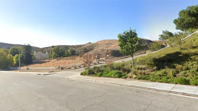
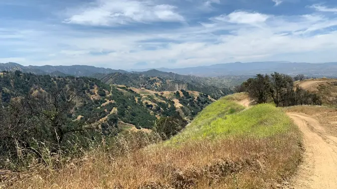
    DESCRIPTION: We'll start from Whitney Canyon Park and hike along the Santa Clara Divide Road to Los Pinetos where you'll be treated to stunning 360 degree views of the local valleys and if it's a clear day beautiful downtown Los Angeles! It's an out and back trail that not only delivers not only scenic panoramas […]

  • Joshua Tree Camping – Jan 4-8, 2024

    Indian Cove Group Camp Indian Cove Rd (off 29 Palms), 34.09715° N, 116.15971° W, Twentynine Palms, CA, US

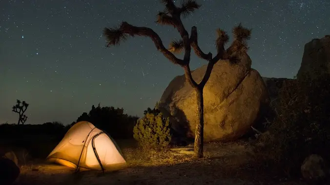
    Desert camping, starry skies, and amazing rock formations! ⛺️ 🪨 We have a group site for up to 25 people. 😀 Carpooling highly recommended. Camping fees to be split among attendees. Severe weather (high winds, extreme cold) will cancel event. More info will be emailed to those who RSVP. See you there!

  • Santa Clara Divide Road to Los Pinetos

    Newhall Park and Ride 20303 Newhall Ave, Santa Clarita, CA, US

    DESCRIPTION: We'll start from Whitney Canyon Park and hike along the Santa Clara Divide Road to Los Pinetos where you'll be treated to stunning 360 degree views of the local valleys and if it's a clear day beautiful downtown Los Angeles! It's an out and back trail that not only delivers scenic panoramas but a […]

  • Ridge Loop through Nightmare Gulch, Red Rock Cyn (CANTIL/MOJAVE).

    See Directions Below See Directions Below, Santa Clarita, CA, US

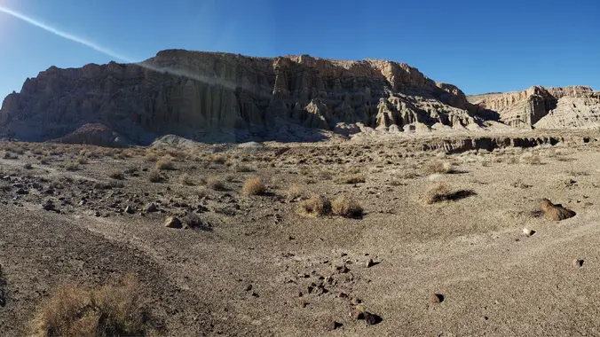
    Saturday, January 13, 2024 - ALL DAY HIKE - Ridge Loop through Nightmare Gulch, Red Rock Canyon, Cantil CA - a FULL DAY DESERT ADVENTURE (Weather Permitting) Hike leader volunteers: Paul H, Gary S., Dianne H. Hiking Distance: ~9 miles (Level 3/Intermediate difficulty) Rating: Moderate ++/ Strenuous (experienced/qualified hikers only) Gain/ Loss: ~ 1250' / […]

  • Mentryville: Pico Canyon Trail

    27201 Pico Canyon Rd 27201 Pico Canyon Rd, Stevenson Ranch, CA, US

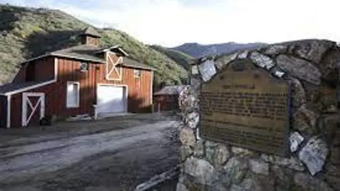
    DESCRIPTION: We'll start from Mentryville (a historic SCV site) located at the base of Pico Canyon’s slopes, Mentryville was an 1880’s oil boom town built around its oil well, Pico No. 4. Named for Charles Mentry, historic buildings still stand including a thirteen-room mansion, a one-room schoolhouse, and a barn. Mentryville and Pico No. 4 […]

  • Las Llajas Canyon Trail to Coquina Mine Trail Loop (Marr Ranch Open Space)

    5715 Evening Sky Dr 5715 Evening Sky Dr, Simi Valley, CA, US

    ***** RAIN OR SNOW FALLING AT TRAIL-HEAD CANCELS THIS HIKE ****** Summary: This is a moderately challenging 6-1/2 mile Level 3 (Intermediate) loop hike with 1620 feet of elevation climb. We'll hike at a moderately brisk 2-1/2 mph pace, taking about 3-1/2 hours to complete including a 20 minute snack break at the Coquina Mine […]

  • Mission Point via Weldon Canyon

    Maple Springs Visitor Center 31330 Silverado Canyon Road, Silverado, CA, US

    DESCRIPTION: I discovered this is an old club favorite after looking through the last five years of hikes. It’s an out-and-back trail that is popular for birding, hiking, biking and running, but should not be too busy during our trek (I hope). Dogs are welcome but must be on a leash. It also happens I […]

  • BKS – Hike To Echo Mountain with extra credit to Inspiration Point.

    Cobb Estate Hike 3302 Lake Ave, Altadena, CA, US

    Intermediate/Advanced Hike! Pull out your Butt Kicker Boots. DESCRIPTION: Bring your A-game, and let the mountains become your personal Stairmaster – because who needs a gym when you've got nature's masterclass in butt-kicking? We will meet at the gate at the ruins of the old Cobb Estate. There is only neighborhood parking so please be […]


Trail statistics are approximate. For safety purposes always assume they are underestimated. But don’t be disappointed if they are overestimated. Bring more water and snacks than you think you’ll need.

Trail descriptions are based on previous hikes. Current conditions are unknown until arrival. Expect the unexpected and plan accordingly.

The Organizers and members of Hiking With Dean are not professional leaders, guides, or mountaineers. The function of the member or organizer is only to organize the trip. Each person who shows up for a trip/meetup (and their guest or guests) is responsible for his or her own safety. By attending a hike, or any other event organized by this group, you are acknowledging that you and any guests that you bring are aware of the risks, dangers and hazards associated with the activity and freely accept and fully assume all such risks, dangers and hazards, and further agree to release and discharge the Organizers, Members of the Hiking With Dean Meetup Group from and against any and all liability arising from your participation in the group activities per our ASSUMPTION OF RISK AND LIABILITY WAIVER and Section 6.2 of the Meetup.com Terms of Service.