
-
42 hikes found.

Santa Clarita Community Hiking Club
Hikes
Calendar of Hikes
Monday |
Tuesday |
Wednesday |
Thursday |
Friday |
Saturday |
Sunday |
|---|---|---|---|---|---|---|
|
0 hikes,
|
0 hikes,
|
0 hikes,
|
0 hikes,
|
0 hikes,
|
1 hike, |
0 hikes,
|
|
0 hikes,
|
0 hikes,
|
0 hikes,
|
0 hikes,
|
0 hikes,
|
1 hike,
-
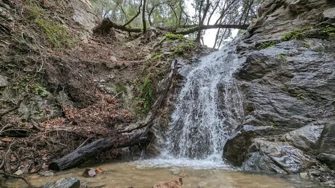 Nice and easy hike, if you are thinking about hiking and want to try something easy this is the hike for you! We will hike out to the waterfall area and see if there is any water in the waterfall. Chances are not likely but we shall see, there might even be some cool rocks! […] |
0 hikes,
|
|
0 hikes,
|
0 hikes,
|
0 hikes,
|
0 hikes,
|
0 hikes,
|
2 hikes,
-
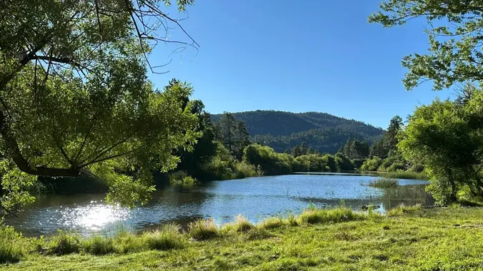 Jackson Lake to Jackson Flats DESCRIPTION: We’ll meet at scenic Jackson Lake early in an attempt to minimize the heat and crowds as usual. The Jackson Flat Trail forks left at the Boy Scout trail junction, and climbs up moderately to the top of the ridge and the PCT trail junction at 7400 ft. From […]
-
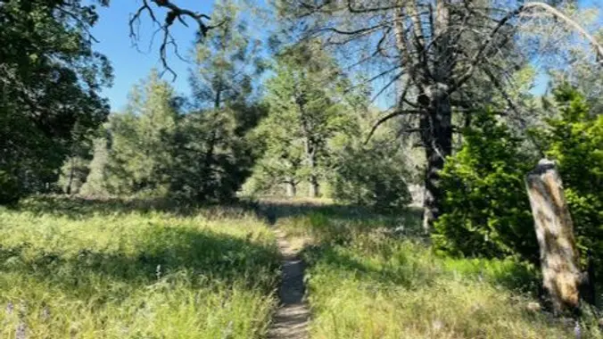 Liebre Mountain via PCT (Replaces Jackson Lake hike due to Bridge Fire) DESCRIPTION: The Bridge fire continues to expand so the road to Lake Jackson is closed as it leads into an evacuation zone (which of course we don’t want to enter). Relatively cooler weather should allow us to enjoy the PCT section up to […] |
0 hikes,
|
|
0 hikes,
|
0 hikes,
|
0 hikes,
|
0 hikes,
|
0 hikes,
|
1 hike,
-
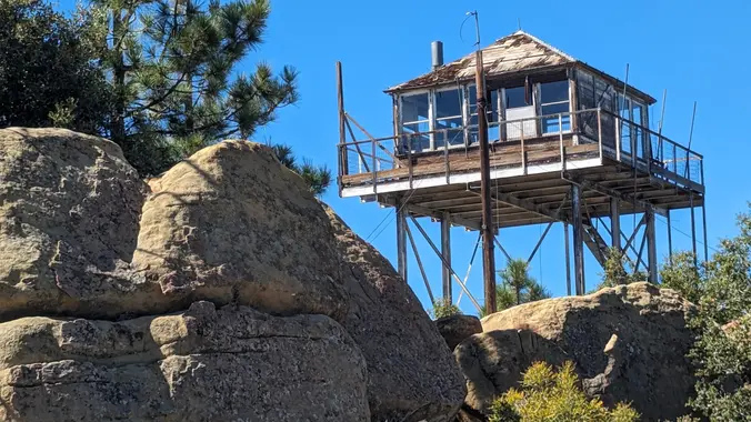 · Hike leader volunteer(s): Paul · Distance: 10.2 Miles total (out and back style) · Elevation gain: 2,084 ft · Time: Approximately 6.5 to 7 hours hiking including a snack break. · Conditioning: You need to be in generally good physical condition. · Dogs: Dogs are welcome but need to be on a leash. · […] |
0 hikes,
|
|
0 hikes,
|
0 hikes,
|
0 hikes,
|
0 hikes,
|
0 hikes,
|
0 hikes,
|
0 hikes,
|
|
0 hikes,
|
0 hikes,
|
0 hikes,
|
0 hikes,
|
0 hikes,
|
1 hike,
-
 Saturday October 5, 2024: LOCAL - Pacoima Wash Canyon to Dutch Louie's Tunnel ***** RAIN OR SNOW FALLING AT TRAILHEAD CANCELS THIS HIKE ****** DISTANCE: 5 miles (out and back, REVERSE style - that means uphill on the way back!) GAIN: ~ 850' elevation gain, all on the way back RATING: Moderate + (for the […] |
0 hikes,
|

Trail statistics are approximate. For safety purposes always assume they are underestimated. But don’t be disappointed if they are overestimated. Bring more water and snacks than you think you’ll need. Trail descriptions are based on previous hikes. Current conditions are unknown until arrival. Expect the unexpected and plan accordingly. The Organizers and members of Hiking With Dean are not professional leaders, guides, or mountaineers. The function of the member or organizer is only to organize the trip. Each person who shows up for a trip/meetup (and their guest or guests) is responsible for his or her own safety. By attending a hike, or any other event organized by this group, you are acknowledging that you and any guests that you bring are aware of the risks, dangers and hazards associated with the activity and freely accept and fully assume all such risks, dangers and hazards, and further agree to release and discharge the Organizers, Members of the Hiking With Dean Meetup Group from and against any and all liability arising from your participation in the group activities per our ASSUMPTION OF RISK AND LIABILITY WAIVER and Section 6.2 of the Meetup.com Terms of Service. |





Recent Comments