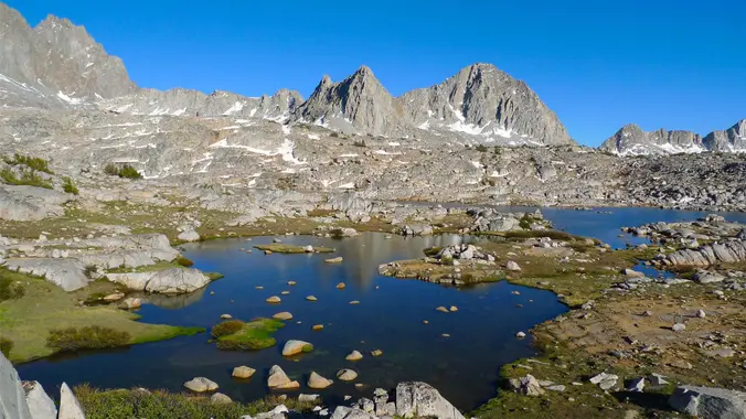
Dusy and Evolution Basins
Bishop Pass Trailhead S Lake Rd, Bishop, CA, USI snagged a permit for Bishop Pass. Should be a beautiful high Sierra trip! Planning on doing a 12mi car shuttle (hike from South Lake to North Lake). Day 0 […]

I snagged a permit for Bishop Pass. Should be a beautiful high Sierra trip! Planning on doing a 12mi car shuttle (hike from South Lake to North Lake). Day 0 […]
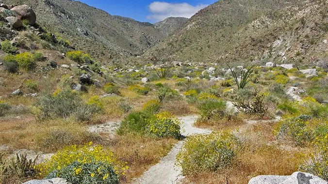
DAY HIKE Trailhead address: Montezuma Valley Road (Route S22), Anza-Borrego Desert State Park, Borrego Springs, CA 92004 Trailhead coordinates: 33.248037, -116.40594 Difficulty: Moderate 5.5 miles roundtrip and 1,000 feet of […]
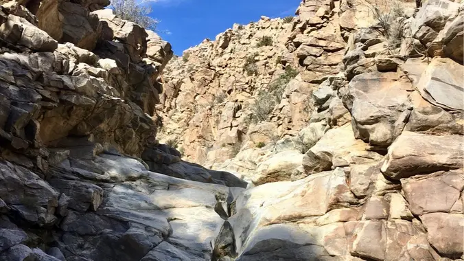
Desert season is here! I haven't been on either of these trails but I did the Joshua Tree section of the California Riding and Hiking Trail last year and I'd […]
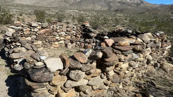
Overnight trip up Rockhouse Canyon Did this last year and found the spring! Hike up Rockhouse Canyon to a wonderful campsite among the cottonwoods. Description from Afoot and Afield: Rockhouse […]

PCT - Eagle Rock via Montezuma Valley Rd THIS IS A DAY HIKE Days: 3-4 hrs Milage: 9-10 MILES Elevation Gain: 1,070 ft Type of Trip: Day Hiking Difficulty: Moderate […]
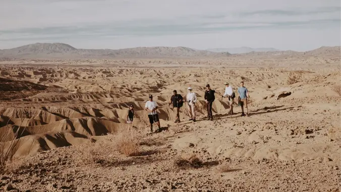
Intermediate Backpacking Trip (only because it's a Dry Camp) Milage: 7 - 14 miles (depending on route) Some Cross country hiking. Ascent: +700-1000 ft High clearance vehicles recommended....but we have […]
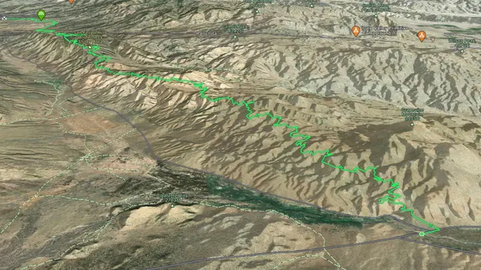
PCT - WEEKEND BACKPACKING TRIP Days: 2 days, 1 nights Milage: 23 Elevation Gain: 3,642 ft Max Elevation: 4400′ Min Elevation: 2300 Type of Trip: Backpacking Difficulty: Moderate/Strenuous Location: ANZA […]
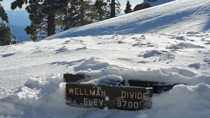
COLD WEATHER BACKPACKING!! ****THIS TRIP MAY BE RESCHEDULE DO TO WEATHER CONDITIONS*** Difficulty level: Intermediate Weather: The weather can be unpredictable. Night time temperatures can range from mid 20’s to […]

TRIP IS OPEN COLD WEATHER BACKPACKING!! ****THIS TRIP MAY BE RESCHEDULE DO TO WEATHER CONDITIONS*** Difficulty level: Intermediate Weather: The weather can be unpredictable. Night time temperatures can range from […]
[asa2_collection tpl=”Flex_1″ orderby=”rand” limit=”4″]2[/asa2_collection]
Trail statistics are approximate. For safety purposes always assume they are underestimated. But don’t be disappointed if they are overestimated. Bring more water and snacks than you think you’ll need. Trail descriptions are based on previous hikes. Current conditions are unknown until arrival. Expect the unexpected and plan accordingly. The Organizers and members of Hiking With Dean are not professional leaders, guides, or mountaineers. The function of the member or organizer is only to organize the trip. Each person who shows up for a trip/meetup (and their guest or guests) is responsible for his or her own safety. By attending a hike, or any other event organized by this group, you are acknowledging that you and any guests that you bring are aware of the risks, dangers and hazards associated with the activity and freely accept and fully assume all such risks, dangers and hazards, and further agree to release and discharge the Organizers, Members of the Hiking With Dean Meetup Group from and against any and all liability arising from your participation in the group activities per our ASSUMPTION OF RISK AND LIABILITY WAIVER and Section 6.2 of the Meetup.com Terms of Service. |
Meetuphikes.com is the brainchild of Dean, the founder and organizer of the Meetup hiking group Hiking With Dean. Here you will find past and upcoming Meetup group hikes from all over southern California. Don’t see your favorite group? Drop us a line and ask us to add it.
 MRCA Park Closures and Re-Openings
June 17, 2025
 Back to the Future
May 28, 2023
 Chivo Canyon to Coquina Mine
May 21, 2023
 Mission Point the Hard Way
May 12, 2023
 Lower Zuma Canyon – Big Loop
March 24, 2023
Recent Comments