

BEFORE YOU WILL BE MOVED TO THE GOING LIST, YOU WILL NEED TO UPDATE YOUR CDH PROFILE (The three questions must be answered with a “yes”) IF YOU HAVE NOT ALREADY DONE SO.
NEED HELP:
go to: https://wp.me/P9MbG4-hC
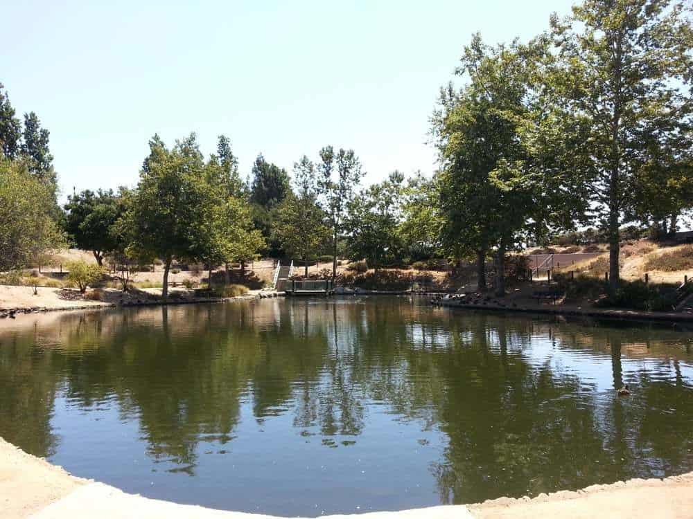
Join me on another hike for our slow, old and WW (Walking Wounded) members. I will be walking at a slow pace with many stops along a paved Paseo winding its way along Madea Creek in Oak Park. This pathway is known as The Madea Creek Trail and it’s geared for beginners that can handle 3 miles with an overall elevation gain of 200′. It will take us through The Oak Canyon Community Park as well as The Media Creek and The Chapparal Parks. This is an opportunity to experience the beauty that the heart of Oak Park offers. If you haven’t had enough after 3 miles, we can walk a bit more in The Oak Canyon Community Park.
GENERAL MEETUP LOCATION: Oak Canyon Community Park in Oak Park
EXACT MEETUP LOCATION: https://www.google.com/maps/place/34%C2%B011’06.4%22N+118%C2%B046’13.9%22W/@34.1851121,-118.7715434,434m/data=!3m2!1e3!4b1!4m9!1m2!10m1!1e2!3m5!1s0x0:0x0!7e2!8m2!3d34.1851099!4d-118.770516
RESTROOM: Yes
MEETUP DIRECTIONS: Exit Kanan Rd. off the 101 Fwy. and head north to Hollytree Drive. Turn right onto Hoolytree Dr. and immediately turn left into Oak Canyon Community Park. Drive to THE SECOND parking lot on your left which is next to the RESTROOM.
MEETUP TIME: 9:00 a.m.
DURATION: 2.5+ hours
ELEVATION GAIN: 200′
DISTANCE: 4 miles
TERRAIN: Mostly an easy paved trail otherwise dirt trails
PACE: A slow walk
LEVEL: For the slow, old and WW (Walking Wounded)
DOGS ALLOWED: YES, but must be on a leash and picked up after.
MY CELL # IS 805-358-5972


