THIS IS AN INFORMATIONAL POSTING ONLY. YOU CANNOT SIGN-ON, RSVP, OR WAITLIST HERE. PLEASE GO TO THE OVLC SITE TO SIGN ON:
https://ovlc.org/geology-presentation-and-geo-hike/
On Saturday November 10, the Ojai Valley Land Conservancy will host a two part presentation by Thom Davis, geologist and founder and director of the Geologic Maps Foundation and Geo-hikes (https://www.meetup.com/Geo-hikes/).
Davis will give a talk on the geology of the Ojai Valley at the OVLC office at 9 am and then lead a field excursion on the Ventura River Preserve.
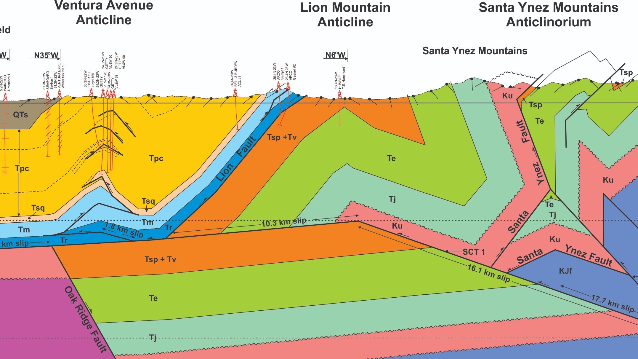
The Ojai Valley and surrounding mountains are a fascinating geologic area with a thick sequence of sedimentary rock units of marine origin that record two periods of basin development and two tectonic phases. The most recent phase is still happening with recent earthquakes and active faulting and folding. The first part of this program will use geologic maps and cross sections, and other figures and photos in a 90 minute outline of the rock units, folds and faults, and geologic history.
The presentation is followed by a two-hour geo-hike in the Ventura River Preserve, where we’ll have a chance to look at and discuss the rocks and active depositional processes. The hike is limited to 30 participants. Be prepare to walk 2-3 miles at a moderate pace.
Wear sturdy shoes and bring water, sun protection and snacks.
Ojai Valley Land Conservancy
370 W.Baldwin Road
Ojai, ca, US, 93023




