Hiking Calendar
Week of Hikes
San Gorgonio Peak/Dry Lake via South Fork
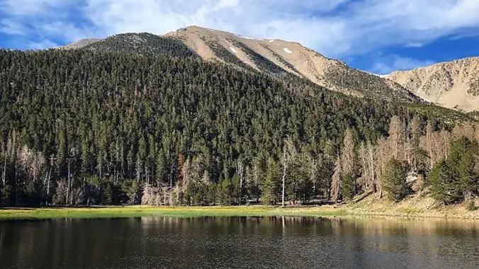
San Gorgonio Mountain is the tallest peak in Southern California (11,502 feet) We will be taking the South Fork Trail to Dry Lake. We will be camping near Dry Lake. Depending on weather conditions, we might need mircro spikes or crampons. Possibly snow at higher elevation. So San Gorgonio Peak will be optional. Miles: 22 […]
Challenger Park Trail ~ Gentler Intermediate
Challenger Park Trail ~ Gentler Intermediate
Challenger park offers miles of trails connecting to Long Canyon, Oak Canyon, Trough Canyon, Lone Oak Canyon, and other adjoining open-space nature areas in the southern section of the Simi Valley. The scenery lining the trails includes extensive oak woodlands, chaparral, and coastal sage scrub. The terrain varies greatly with rolling green hills and steep […]
EarlyParker Mesa Overlook with extension – Intermediate Hike
EarlyParker Mesa Overlook with extension – Intermediate Hike
Restrictions apply for your safety and ours: Don't show up unless you're on the "Attending" list Unregistered or waitlisted will be turned away No "Plus Ones" on this hike Plan on completing the entire hike or please find an alternative hike that better suits your hiking level. No dogs Topanga State Park is 36 square […]
Parker Mesa Overlook with extension – Intermediate Hike
Parker Mesa Overlook with extension – Intermediate Hike
Restrictions apply for your safety and ours: Don't show up unless you're on the "Attending" list Unregistered or waitlisted will be turned away No "Plus Ones" on this hike Plan on completing the entire hike or please find an alternative hike that better suits your hiking level. No dogs Topanga State Park is 36 square […]
Hike at Whiting Ranch – Wahoo’s Parking Lot
Hike at Whiting Ranch – Wahoo’s Parking Lot
This hike will be about 5.4 miles total with 820 ft. of elevation gain. We are starting at the parking lot at the Wahoo's parking lot. We will take Live Oak Trail. This turns into Serrano Road which will take us to Serrano Cow Trail. At this part of the trail, we usually see a […]
China Flats – Intermediate
China Flats – Intermediate
3 miles, 1000' gain, Intermediate. The entire first half is an incline. Nothing super steep, but beginners may find this climb exhausting. Fit beginners can still complete this hike, as we'll be stopping at junctions to let everybody catch up. This is not a conditioning hike, it is a social hike. There are several routes […]
Los Robles / White Horse Canyon Loop – Fast Paced
Los Robles / White Horse Canyon Loop – Fast Paced
https://a248.e.akamai.net/secure.meetupstatic.com/photos/event/4/5/b/c/event_52757852.jpeg Pandemic conditions and restrictions apply for your safety and ours: Don't show up unless you're shown on the "Attending" list Unregistered or waitlisted will be turned away No "Plus Ones" on this hike You will be asked to show your vaccination card if you have not done so previously. (A photo on your phone […]
Hike Bommer Ridge to the Top of Boat Canyon
Hike Bommer Ridge to the Top of Boat Canyon
We are going to hike on Bommer Ridge Trail the whole time. We are going to take this until we hit the top of Boat Canyon, and then turn around. The total distance for this hike is 7.4 miles with about 800 ft. of elevation gain. There are great mountain and ocean views along the […]
Lynnmere Loop from Camino Magenta – a Gentler (not Beginner) Hike
Lynnmere Loop from Camino Magenta – a Gentler (not Beginner) Hike
Instead of our usual starting point at the Conejo Playfields, this shorter, gentler hike will start at the top of Camino Magenta, in the beautiful unincorporated Lynn Ranch neighborhood surrounded by Thousand Oaks. We'll do a loop around the gated Lynnmere community and wind up back at our starting point about 5 miles and about […]
Long Canyon – Easy CC Loop – Suitable for Fit Beginners
Long Canyon – Easy CC Loop – Suitable for Fit Beginners
3 miles, 650' gain, Fit Beginner Easy option, 1.4 miles, 450' gain, Fit Beginner Those that prefer the Easy Option, should head UP from the trail head, waiting when they get to the bench at the top. For the rest of us: Starting from the trailhead parking lot, we head west on the Woodridge Connector […]
Hike at Peter’s Canyon Regional Park + Big Red
Hike at Peter’s Canyon Regional Park + Big Red
The hike will be about 4.5 miles with about 500 ft. of elevation gain. We will start on Peters Canyon Trail and take this to East Ridge View Trail. This is where we will go up Big Red. Then we will continue on this trail until we get to Eucalyptus to loop back. We will […]
2023 Saturday Peaks in the Santa Monica Mountains #6 – Calabasas Peak
2023 Saturday Peaks in the Santa Monica Mountains #6 – Calabasas Peak
Hike #6 in the 2023 highest and most interesting peaks in the Santa Monica Mountains series is a moderate 10-mile, 2000’ gain out and bqck hike along the Secret Trail to the Calabasas Peak Motorway, stopping at the peak before heading into Red Rock Canyon. Meet at 8:00 AM at the Oak Ridge Trail - […]
Hike at Laguna Coast Wilderness Park – Nix Nature Center
Hike at Laguna Coast Wilderness Park – Nix Nature Center
The hike we will be doing will be around 5 miles long with 875 ft. of elevation gain. This will be a loop starting at the parking lot of Nix Nature Center. As you will see on the map, this is at the main park entrance off of the 133 (Little Sycamore Canyon Staging Area). […]
Bike Ride: Agoura – Calabasas Loop
Bike Ride: Agoura – Calabasas Loop
Join my other group for an epic loop around Agoura and Calabasas. See https://www.meetup.com/socal-ebike-riders/events/293747173/ for more info and RSVP
Agoura – Calabasas Loop — 🍴Lunch at Pedalers Fork
Agoura – Calabasas Loop — 🍴Lunch at Pedalers Fork
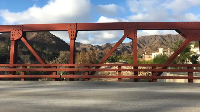
This epic tour of Agoura and Calabasas departs from Agoura at the Kanan Park and Ride, then drops into the La Sierra Preserve via Kanan Road. From here we head east on Mulholland across the Triunfo Creek Bridge, and ride one of the most famous stretches of highway in the country: "The Snake" (currently closed […]
The Pianobox Prospect via Fish Canyon trail
The Pianobox Prospect via Fish Canyon trail
https://www.alltrails.com/trail/us/california/the-pianobox-prospect-via-fish-canyon-trail?search=true Hello Fellow Hikers, A bit of history to the area. It's said these hills were once inhabited by the Allikliks a branch of the Shoshonean tribe. There is also a lot of lore surrounding this place that includes talk of Indian burial grounds, gold mines, spanish gold, and even ghosts. Pianobox was named for […]
Hike to the Brown Mountain Dam Waterfall – Gabrieleno Trail
Hike to the Brown Mountain Dam Waterfall – Gabrieleno Trail
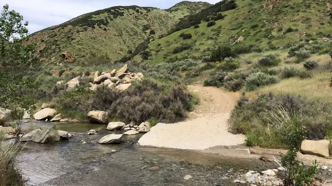
This hike is so cool! It's a good distance with little elevation gain and it is beautiful. This hike will take us to the Brown Mountain Dam Waterfall. The hike is an out and back at around 8.7 miles total with 650 ft. of elevation gain, so not steep! This area of the Angeles National […]
Danielson Monument – potluck hike
Danielson Monument – potluck hike
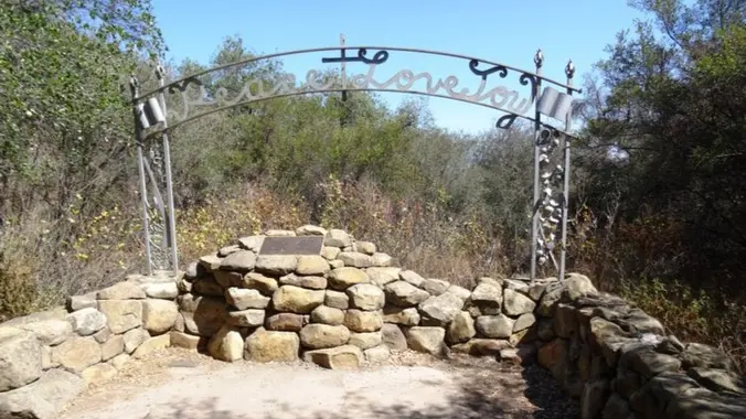
6.5 miles, 1300' gain, intermediate Let's enjoy hiking to the Danielson Monument in the Boney Mountain Wilderness and potluck lunch! This is a great way to be thankful for the beautiful nature, our health and friendships. We'll hike up to Danielson monument and enjoy potluck and "Peace, Love and Joy." Please bring food and drinks […]
Trail statistics are approximate. For safety purposes always assume they are underestimated. But don’t be disappointed if they are overestimated. Bring more water and snacks than you think you’ll need. Trail descriptions are based on previous hikes. Current conditions are unknown until arrival. Expect the unexpected and plan accordingly. The Organizers and members of Hiking With Dean are not professional leaders, guides, or mountaineers. The function of the member or organizer is only to organize the trip. Each person who shows up for a trip/meetup (and their guest or guests) is responsible for his or her own safety. By attending a hike, or any other event organized by this group, you are acknowledging that you and any guests that you bring are aware of the risks, dangers and hazards associated with the activity and freely accept and fully assume all such risks, dangers and hazards, and further agree to release and discharge the Organizers, Members of the Hiking With Dean Meetup Group from and against any and all liability arising from your participation in the group activities per our ASSUMPTION OF RISK AND LIABILITY WAIVER and Section 6.2 of the Meetup.com Terms of Service. |








Recent Comments