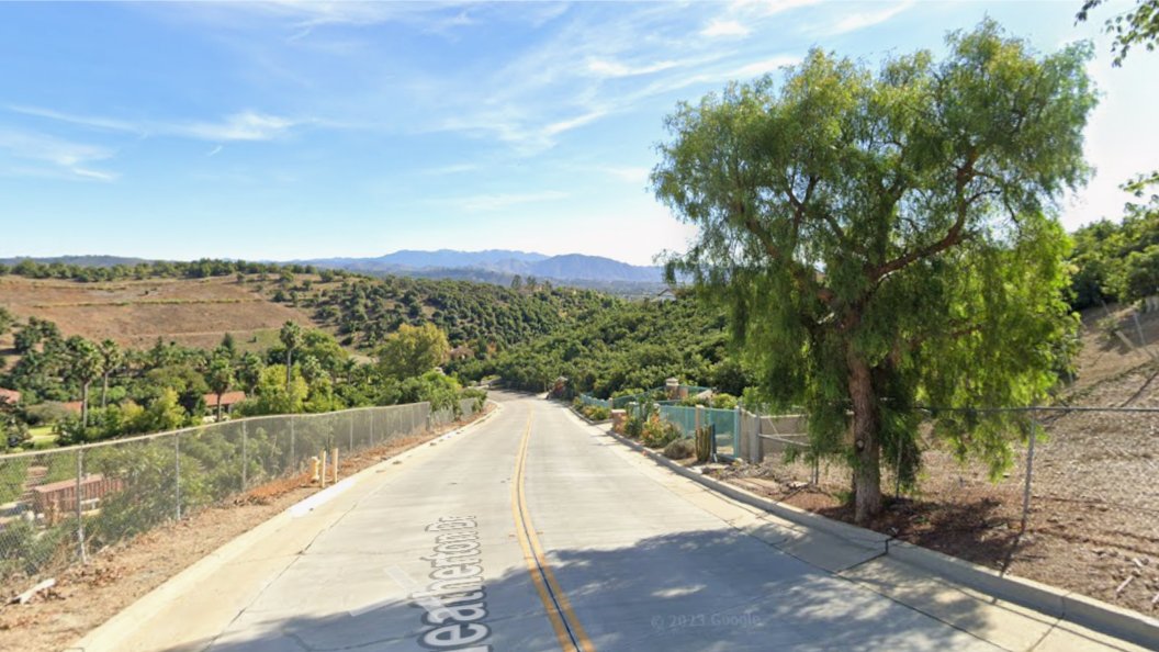
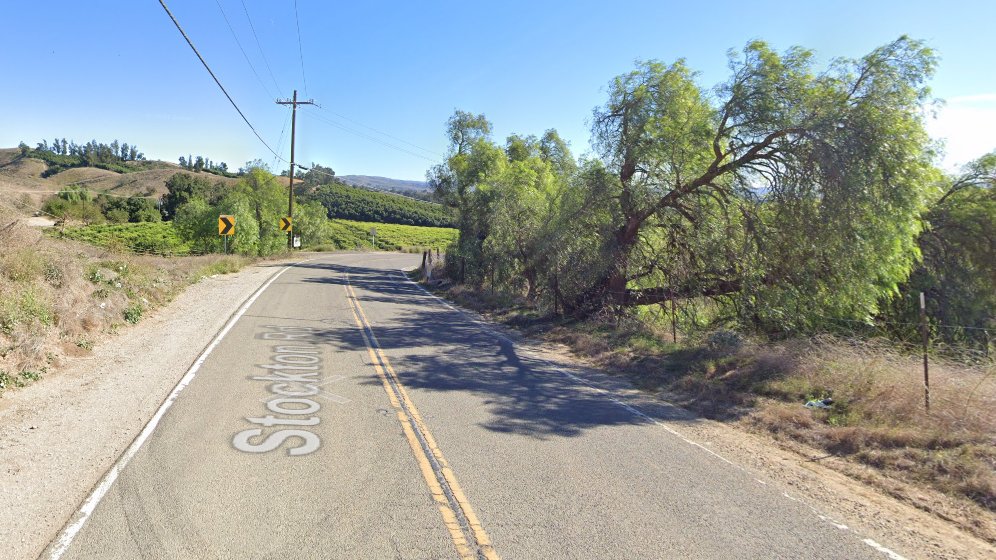
Here's a cooler ride in Camarillo that we can do which consist mostly of paved streets. We will be on some paved bike paths as well as a bit of a very easy dirt road. Make sure you have Tannus inserts, green slime or FlatOut in your inner tubes to avoid flats. MEETUP LOCATION AND […]
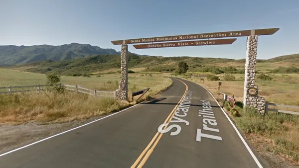
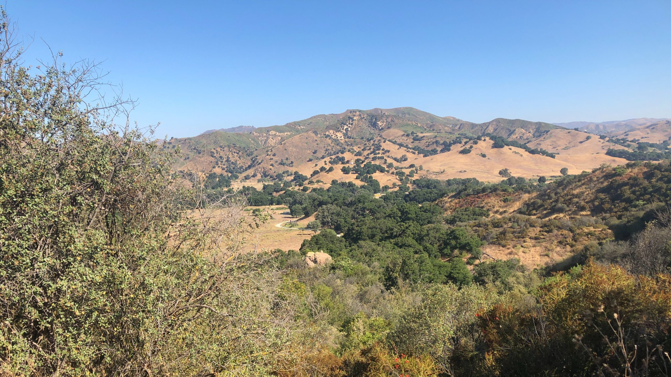
Just off the ocean, Sycamore Canyon is a wide, seemingly flat stroll among grasses, wildflower, and sycamore trees, surrounded by mountains on both sides. Rather than letting that lull you into a false sense of complacency, we'll take a left turn just after we start, and hike up the southern fork of Overlook Trail to […]
"Satwiwa" is Chumashan and directly translates to "the bluffs," which can also translate to "higher places," and is the Chumashan name used for a former village near the current culture center. The Ranch Overlook Trail extends from just west of the culture center to the Palomino Trail in the Rancho Potrero Open Space. https://www.conejovalleyguide.com/dosomethingblog/ranch-overlook-trail-in-rancho-sierra-vistasatwiwa-in-newbury-park This […]
Although this ride is a loop around Bard Lake, you'll never be close enough to see the lake. We'll get some dirt roads in before finishing most of the ride on streets. Make sure you have Tannus inserts, green slime or FlatOut in your inner tubes to avoid flats. MEETUP LOCATION AND TIME: At Lang […]
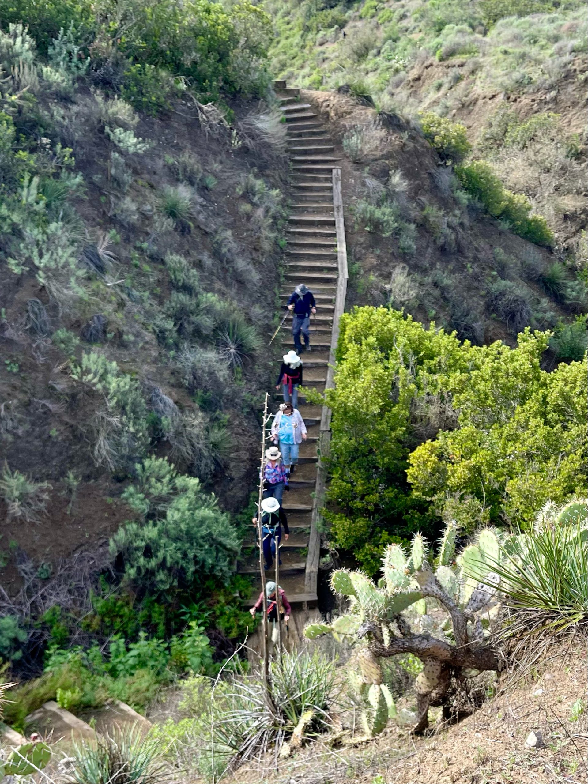
We will start on Kanan at Newton Canyon and hike to Latigo Canyon Rd. It is a little steep at the beginning but then turns into a nice hike. This hike is about 6 miles with about 1000’ gain and will take us on a less-traveled but quite beautiful part of the 67-mile Backbone trail. […]
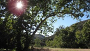
NOTE: This hike has lots of trees. We will start at 8:30. We will begin in the parking lot at the end of Moorpark and walk down the street to the Las Padres trail. From there we will loop around and come back to the Moorpark trailhead via the Los Robles trail. Some hikers may […]
3.25 miles out and back, 600' gain, Easy Intermediate. Many people will be viewing the fireworks from this location, and enjoying a picnic at the top. Easier Option (unhosted): 2.4mi, 550' gain. (link to map). 497 Hillsborough St, Thousand Oaks, CA 91361 We'll start by entering the Los Padres trail, through a spooky oak covered […]
We are going to be starting at the Canyon View Staging Area. This hike will be about 6.2 miles with around 1,000 ft. of elevation gain. We will be starting at Canyon View Park and taking Cholla up to West Ridge and comic down Mathis. Link to Parking from Google Maps: https://www.google.com/maps/place/Canyon+View+Staging+Area/@33.585273,-117.7465062,17z/data=!3m1!4b1!4m5!3m4!1s0x80dce61b6bd45c2d:0x5ef3f1ad687cc8b5!8m2!3d33.585273!4d-117.7443175 Dogs are not […]
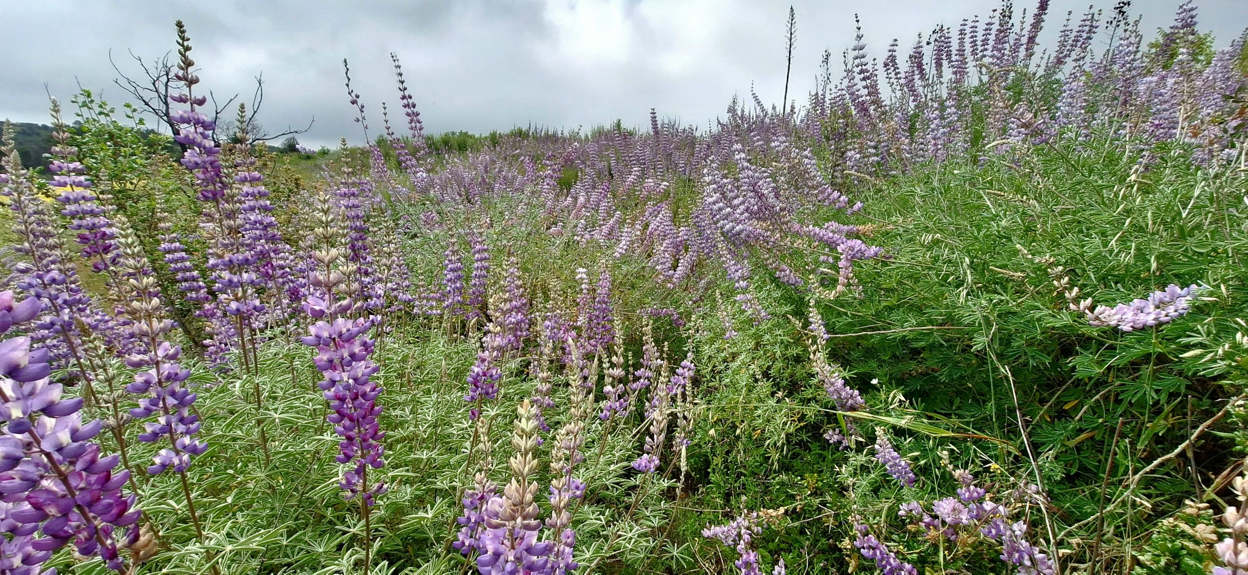
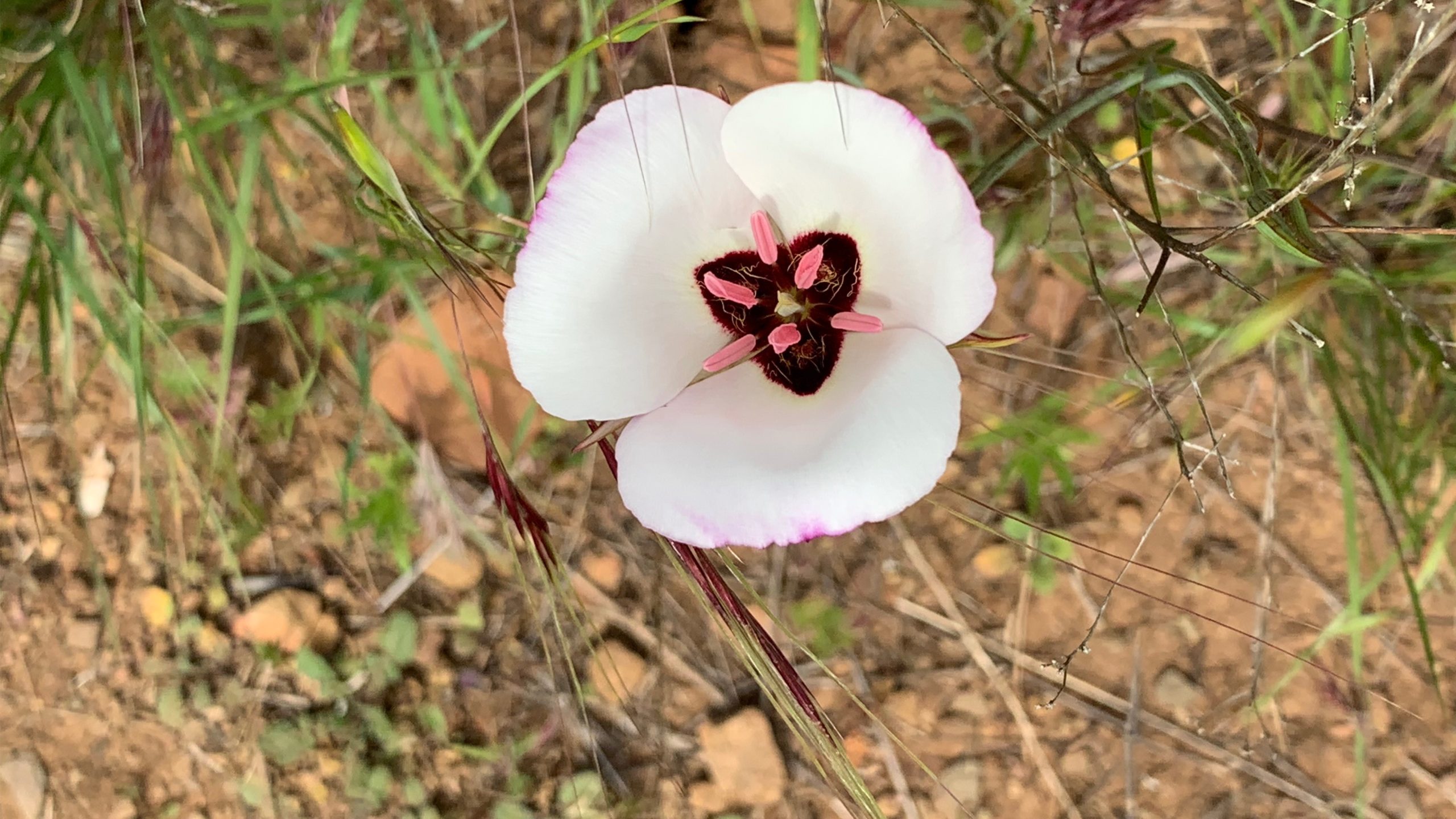
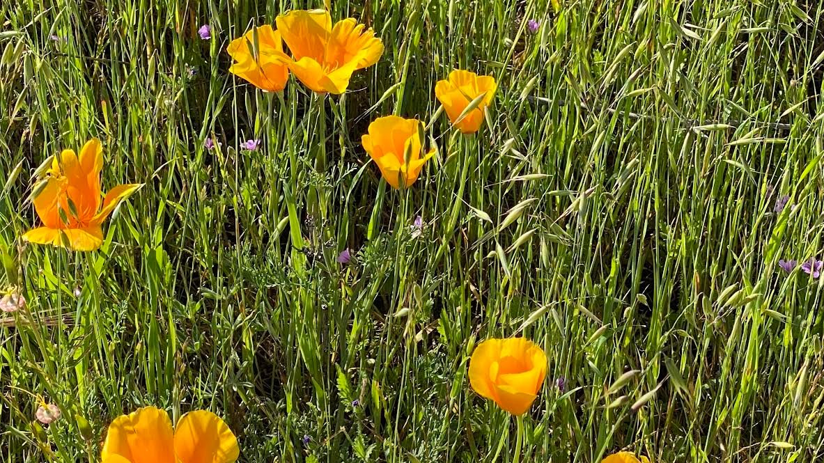
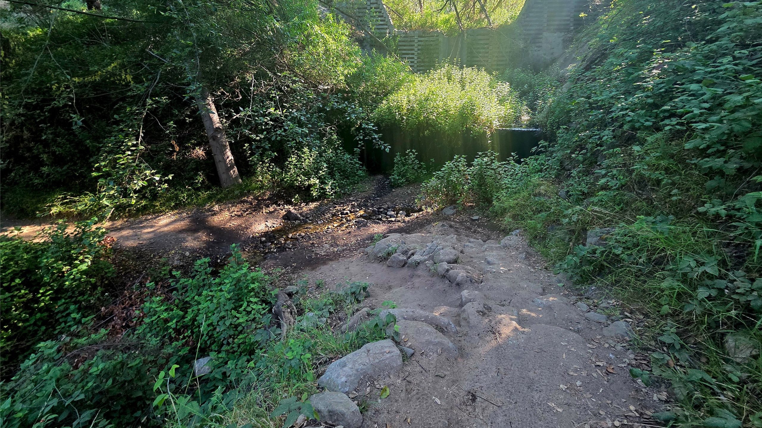
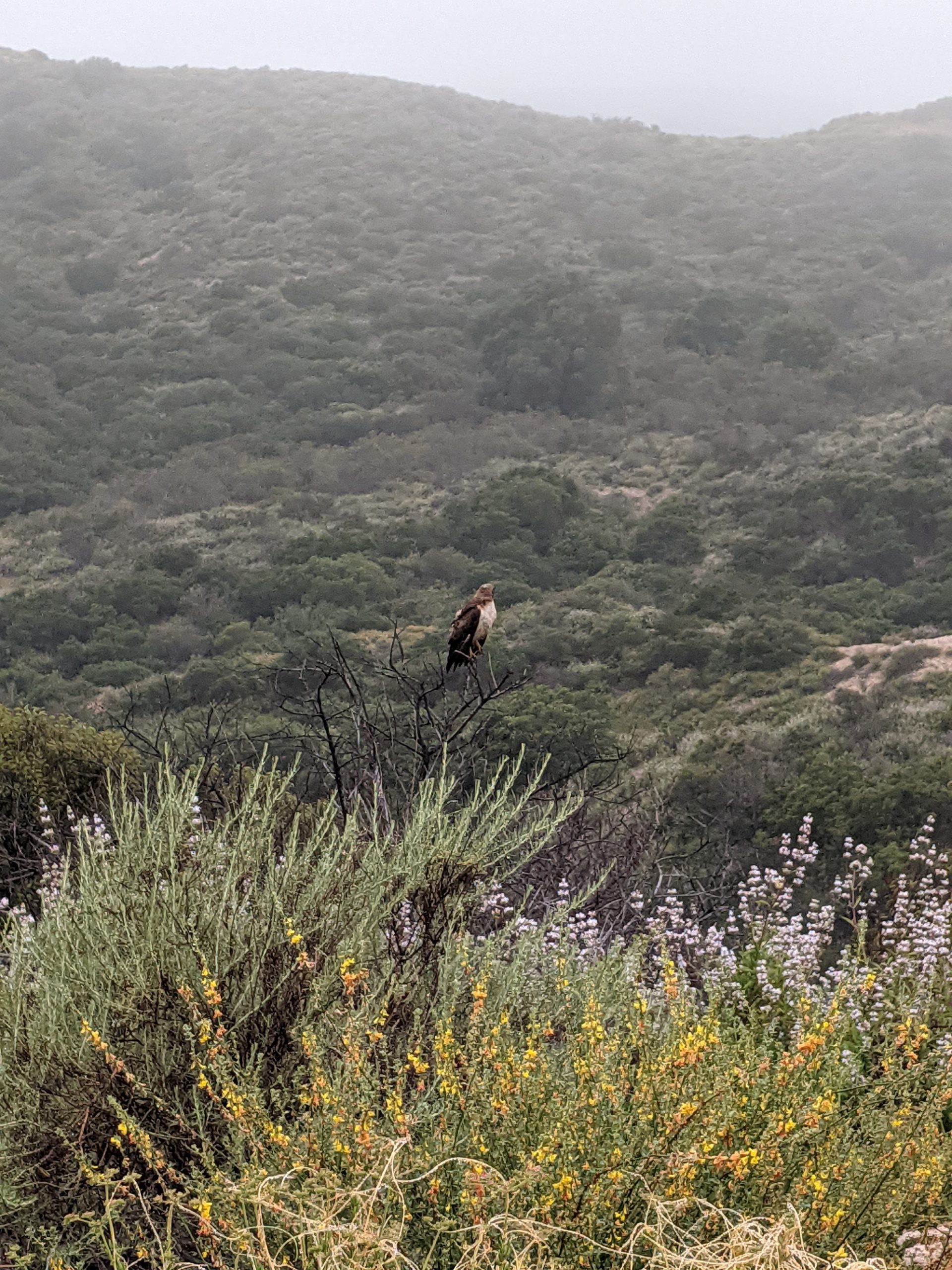
DESCRIPTION: This is a beautiful area containing 37 types of endangered species. It is prime yellow-legged frog and Arroyo Toad Habitat. Bring your camera. Not only is the area beautiful, but you might see some of the endangered species along the way. Please stay on the trails here and watch where you step during the […]
This ride will have us e-biking on very easy dirt forest service roads south of Big Bear Lake. Make sure you bring along a spare inner tube. Also, check your bike out at home to make sure it's in working order and tires inflated before you arrive at the meetup location. MEETUP LOCATION: RESTROOMS at […]
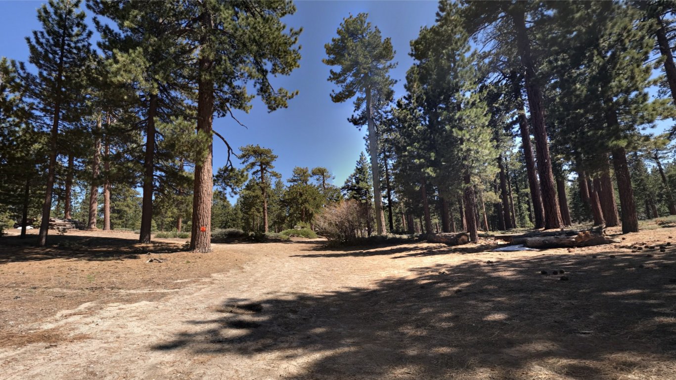
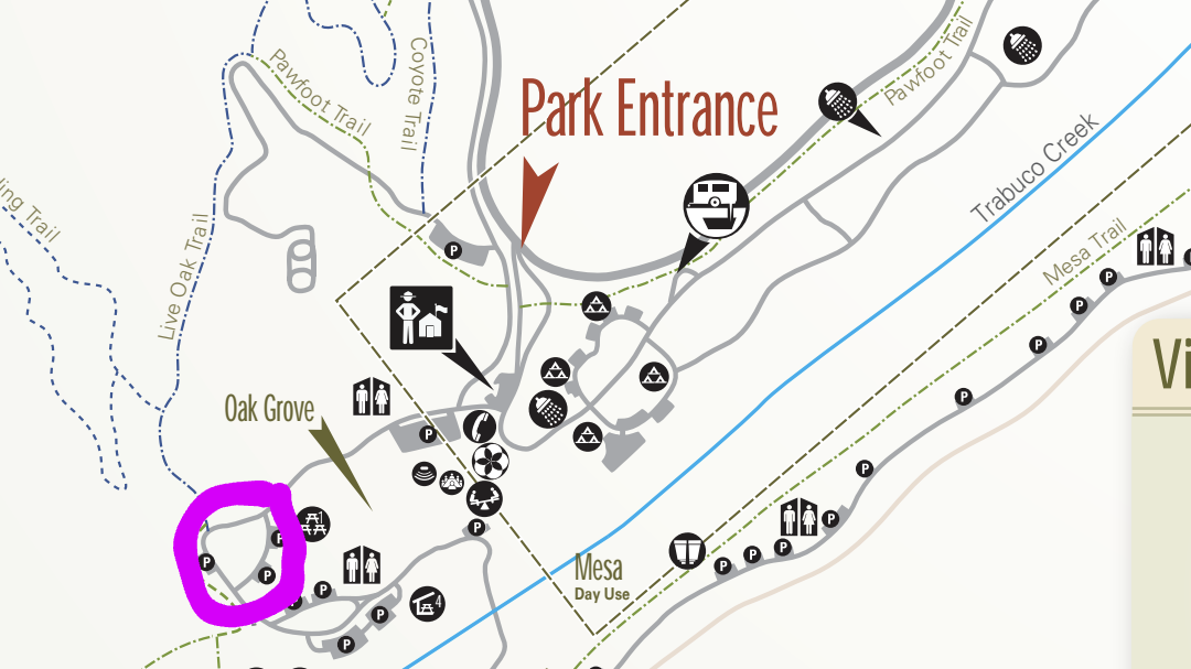
The hike we will be doing is approximately 5 miles with 870 ft. of elevation gain. We will begin at the Live Oak Trail trailhead. This is where you will see on the map that the Live Oak Trail hits the paved road. This is the parking lot closest to the Edna Spaulding Trail. (There […]
Join us as DSB celebrates and reinvents the timeless music of the legendary Journey Tribute followed by patriotic drone show! Let's enjoy potluck picnic before the concert. If your item requires utensils, please supply them. You may wish to bring your own cup, plate, and utensils in case there aren't any. Snacks and/or beverages to […]
We will start our hike near the beginning of Regal Oak Ct. on the lower Rosewood Trail, a dirt trail heading up a shaded ravine at the base of the mountains, and continue to the usual Rosewood trail. Rosewood trail presents a clear view over the 101 Freeway carving up the Conejo Valley. This is […]
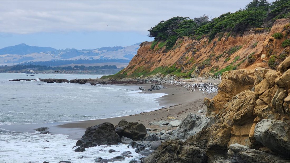
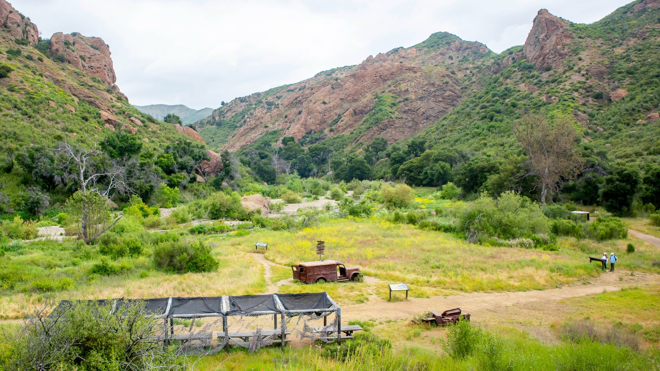
Join us on an out and back hike up the Ray Miller Trail and the Overlook Trail. We’ll enjoy beautiful ocean views as we descend. We'll pick up about 1300’ gain on this 7-8 mile adventure. Lying along the brilliant blue Pacific Ocean at the west end of Malibu (just shy of Port Hueneme), the […]
Easy Intermediate, 3 miles, 600' gain Easier Option: 2.4 mi, 530' gain. (5 Washburn St, Simi Valley, CA 93065, or 89 La Paz Ct, Simi Valley, CA 93065 to save another 500' distance). We'll meet in the parking lot at the northeast corner of Madera and Royal, just south of the Donut Delite, on the […]
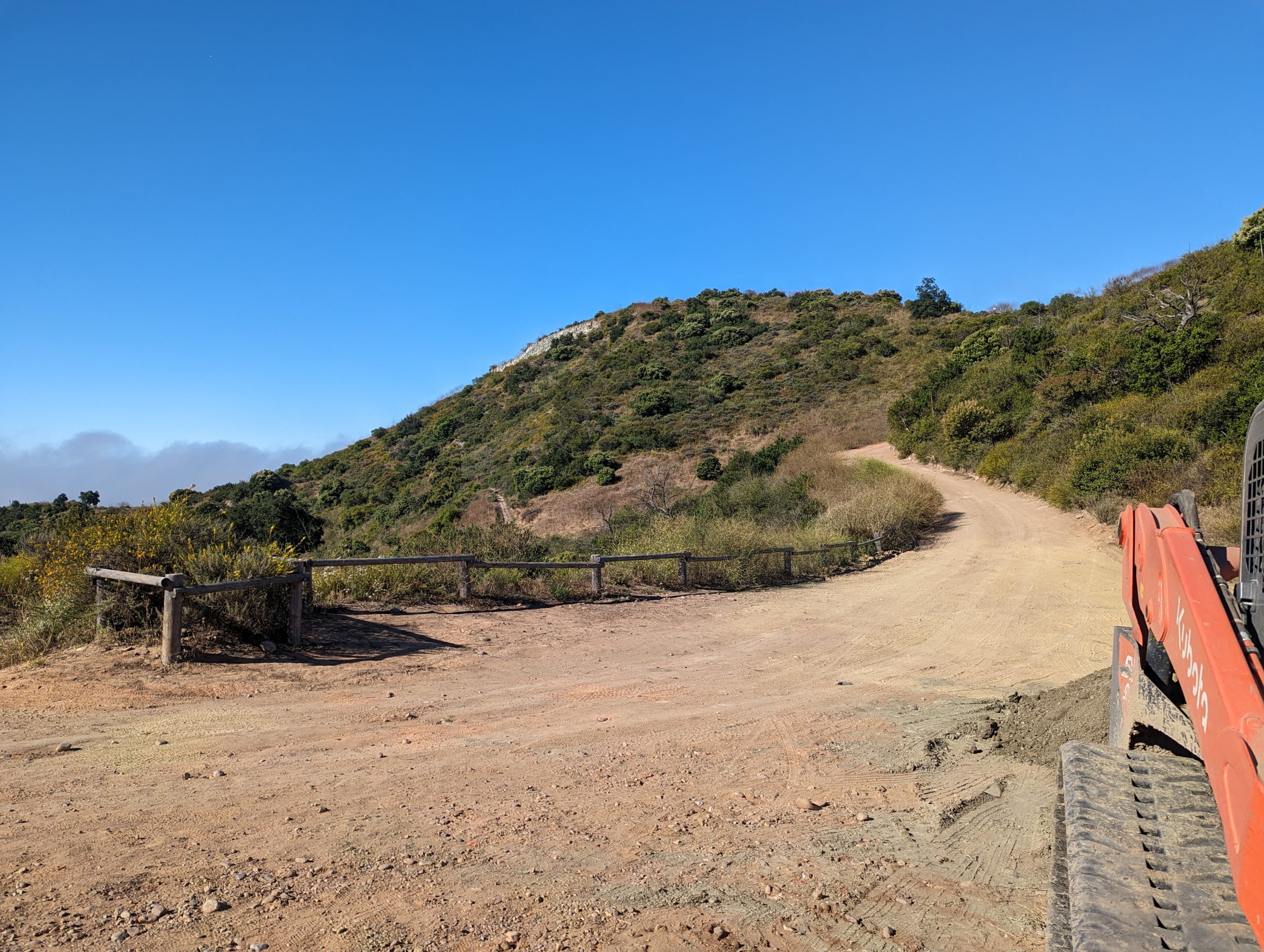
ROUTE This will be our planned route. We'll start this ride early in order to beat the afternoon summer heat as we head uo to Circle X Ranch from PCH. The roads we are taking are steep and winding mountain roads with little traffic. Make sure you have green slime or FlatOut in your inner […]
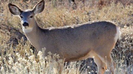
How mule deer in the Santa Monica Mountains and Conejo Valley navigate a dynamic landscape of risks and rewards. A virtual presentation by Ellie Bolas on Wednesday July 9 at 7:00 pm. Register to watch! Please join us for the live online presentation of “Lions and Fires and Humans, Oh Deer!” by ecologist Ellie Bolas. […]
Note 8:00 am start time! Beat the heat with an earlier start! This hike will loop around the periphery of Dos Vientos Open Space, going behind Twin Ponds, overlooking Potrero Road and the Oxnard Plain with the Channel Islands in the background. We will cross 3 streets along the way. This hike is about 6.0 […]
Note 8:00am start time! This hike will start at 8:00 and we will go the opposite direction of the other hike in Dos Vientos that also starts at 8:00 on this Thursday. We will go slightly slower than the other hike but still beat the heat. We will loop around the periphery of Dos Vientos […]
4.6 miles, 1000' gain, Easy Intermediate Easier Option - 2.7 miles, 320' gain Many have gotten lost relying on GPS. This is the Wendy Trailhead, where S. Wendy Dr. ends at Potrero Rd. Heading out, we cross a creek, turn right at the split, then Turn right at the dead end. We regroup at the […]
This is an opportunity to take on East & West Camino Cielo Road to enjoy the stunning views overlooking Santa Barbara/Goleta and the Pacific Ocean that it offers. A lot of this route is shaded. We'll start near the Cold Springs Tavern and make our way up to the Painted Cave. From there we'll head […]
Details July 12-13, 2025 - San Jacinto Wilderness one night backpack to San Jacinto Peak via Devil's slide trail and North Rim zone. 14.5 miles total and 4,400' gain over both days. The camp will be a remote site along the North Rim Trail. (Dry camp, but about 1 mile from water if needed.) This […]
DESCRIPTION: This is a 6.2-mile out-and-back trail near La Canada Flintridge, California. Generally considered a moderately challenging route. Approximately. the first 3/4 mile will be on a paved road. There is a decent amount of shade. This is a very popular area for birding, hiking, and mountain biking. There could be a lot of mountain […]
This hike will be about 5.4 miles total with 820 ft. of elevation gain. We are starting at the parking lot at the Wahoo's parking lot. We will take Live Oak Trail. This turns into Serrano Road which will take us to Serrano Cow Trail. At this part of the trail, we usually see a […]
This hike will be about 5.4 miles total with 820 ft. of elevation gain. We are starting at the parking lot at the Wahoo's parking lot. We will take Live Oak Trail. This turns into Serrano Road which will take us to Serrano Cow Trail. At this part of the trail, we usually see a […]
ROUTE This will be our planned route. We can get in some street riding along with some dirt as well on this event. Although Potrero Road and PCH can be intimidating to some riders, by starting out early Sunday morning, the traffic will be very light. Make sure you have Tannus inserts, green slime or […]
3.0 miles, 800' gain, easy-intermediate. Moonrise 6:09 pm Photo by Helen Let's enjoy the gorgeous sunset, full moon, and fun loaded potluck picnic at the beautiful Angel Vista! This is a potluck hike. Please bring food, drinks to share. If your item requires utensils/plates/toothpicks, etc., please bring them. You may wish to bring your own […]
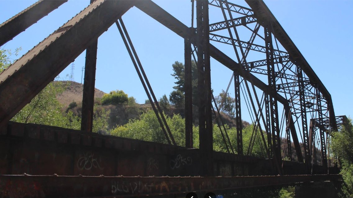
ROUTE This will be the planned route. This ride will be on paved roads through citrus groves as we ride from downtown Santa Paula's old train depot using backroads to Piru's old train depot. While in Piru we'll check out the 1902 Historic Piru Train Bridge. Following the ride, you can join me for lunch […]
We will start this hike into MCSP from Tapia Park. The Tapia Park entrance is just before the Piuma intersection. Note: a day use fee (machine at entrance) is required if you don't have a State Park Pass. After you enter Tapia, follow the signs to Salvation Army Camp & Conference Center. It's about 0.4 […]
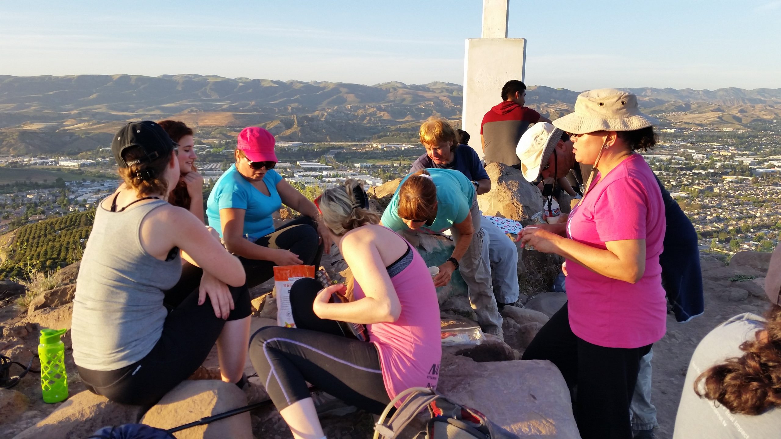
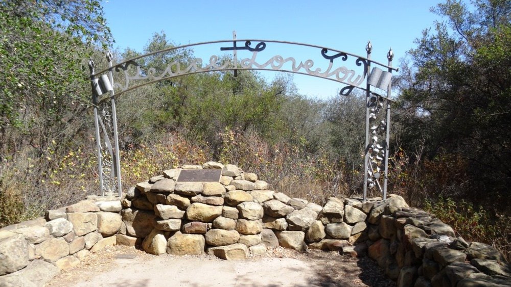
Let's head out to the famed Peace, Love, Joy arch at the Danielson Monument (picture). This modified out and back hike is about 7 miles with 1400 feet of elevation gain. Weather should be a mild 72* by the end, so we can leave at the usual 9:00am time. The hike drops down into Sycamore […]
**During warm weather Monte Nido is a little island of coolness. So this Thursday we’ll be hiking a section of the Backbone Trail that runs through it. The trail is particularly pretty, and very shaded overall. We’ll meet at the pay parking lot on Malibu Canyon, just south of Piuma Rd. (There is some free […]
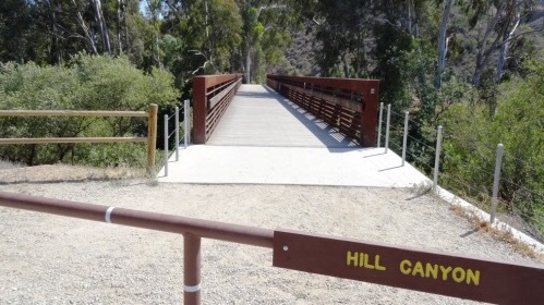
8:30 start time. We will start this hike at Santa Rosa Regional Park at the parking area in Hill Canyon, cross the bridge over the runoff creek, and stroll a mile before turning onto the fire road up the Western Plateau. We will continue straight at the crest of the fire road and then turn […]
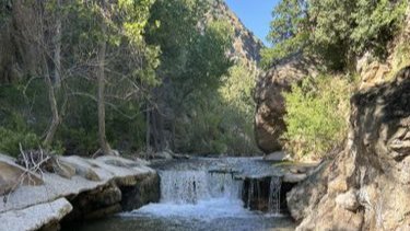
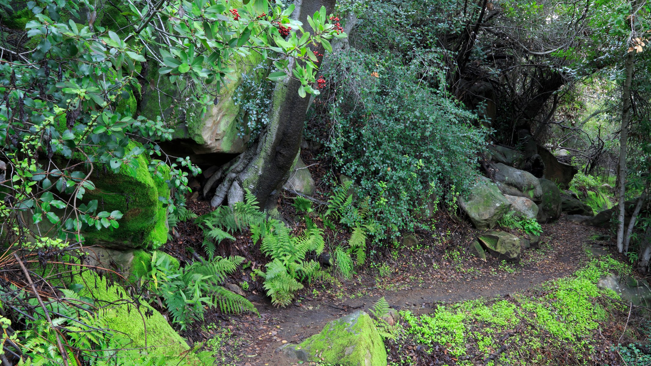
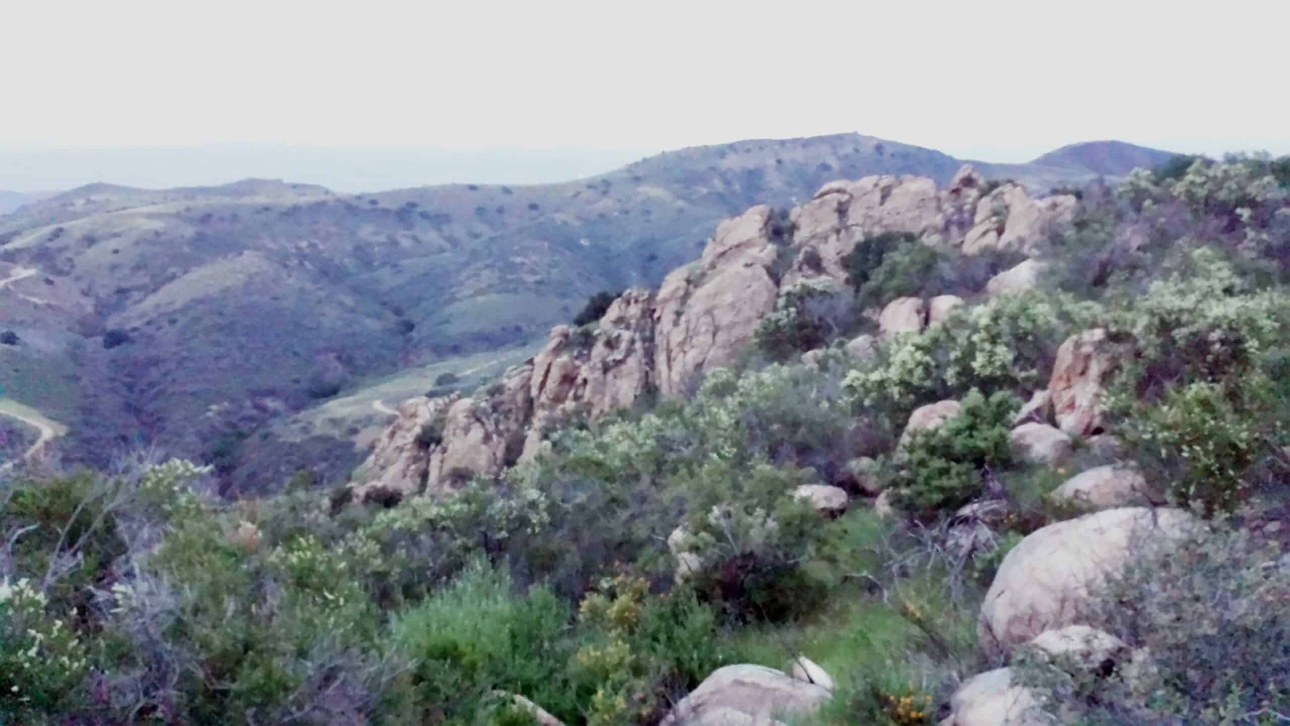
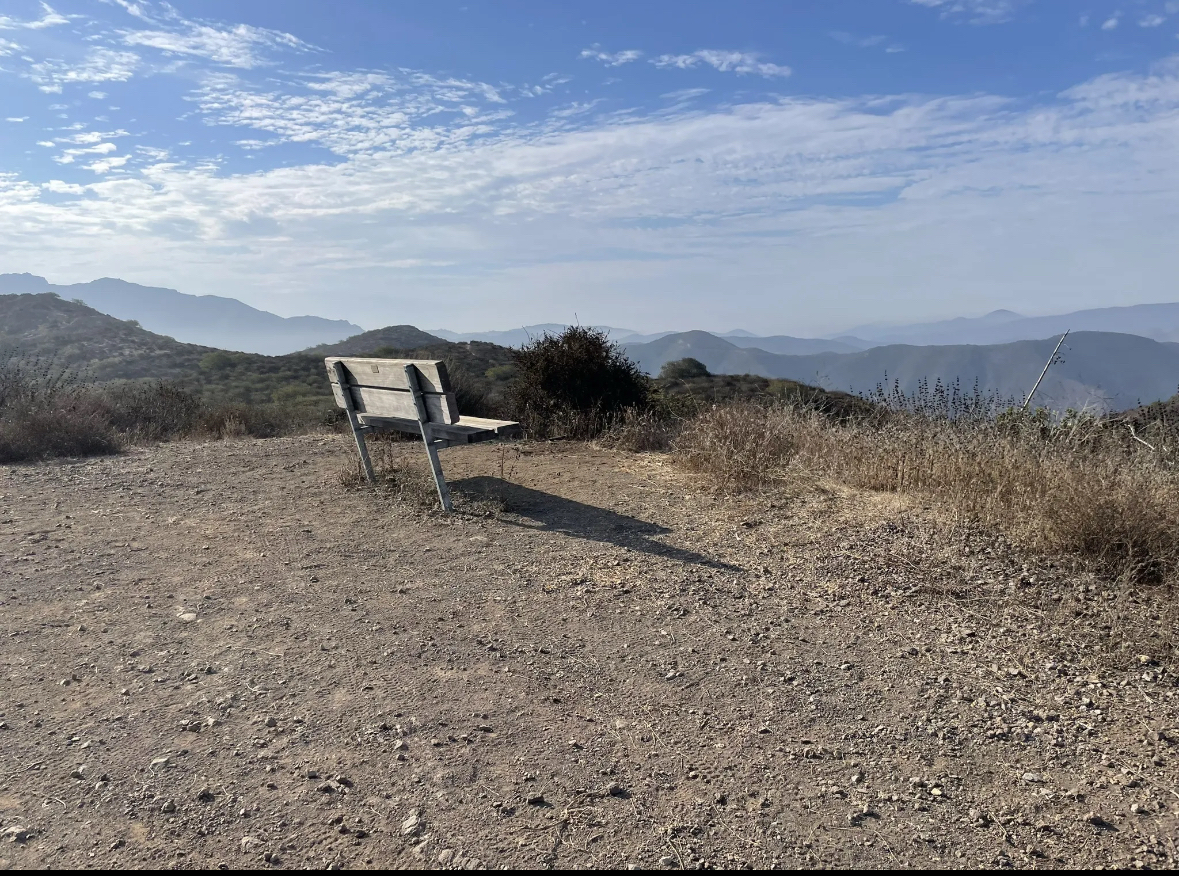
3.2 miles, 900' gain, Intermediate. The first part is a steady incline, followed by a rolling trail to our destination. Fit beginners can complete this hike, but it will certainly get their blood pumping. There are no super steep sections. This hike takes us to a secret spot below a large rock formation. Naturally into […]
We start at Shalhoob’s in Santa Barbara and head up into the hills making a clockwise journey to Montecito via Mountain Drive. After enjoying those coastal views (If the sun is out!), we ride down towards the coast to Summerland Beach and then take a bike lane into Montecito Coast Village. We use a super-secret […]
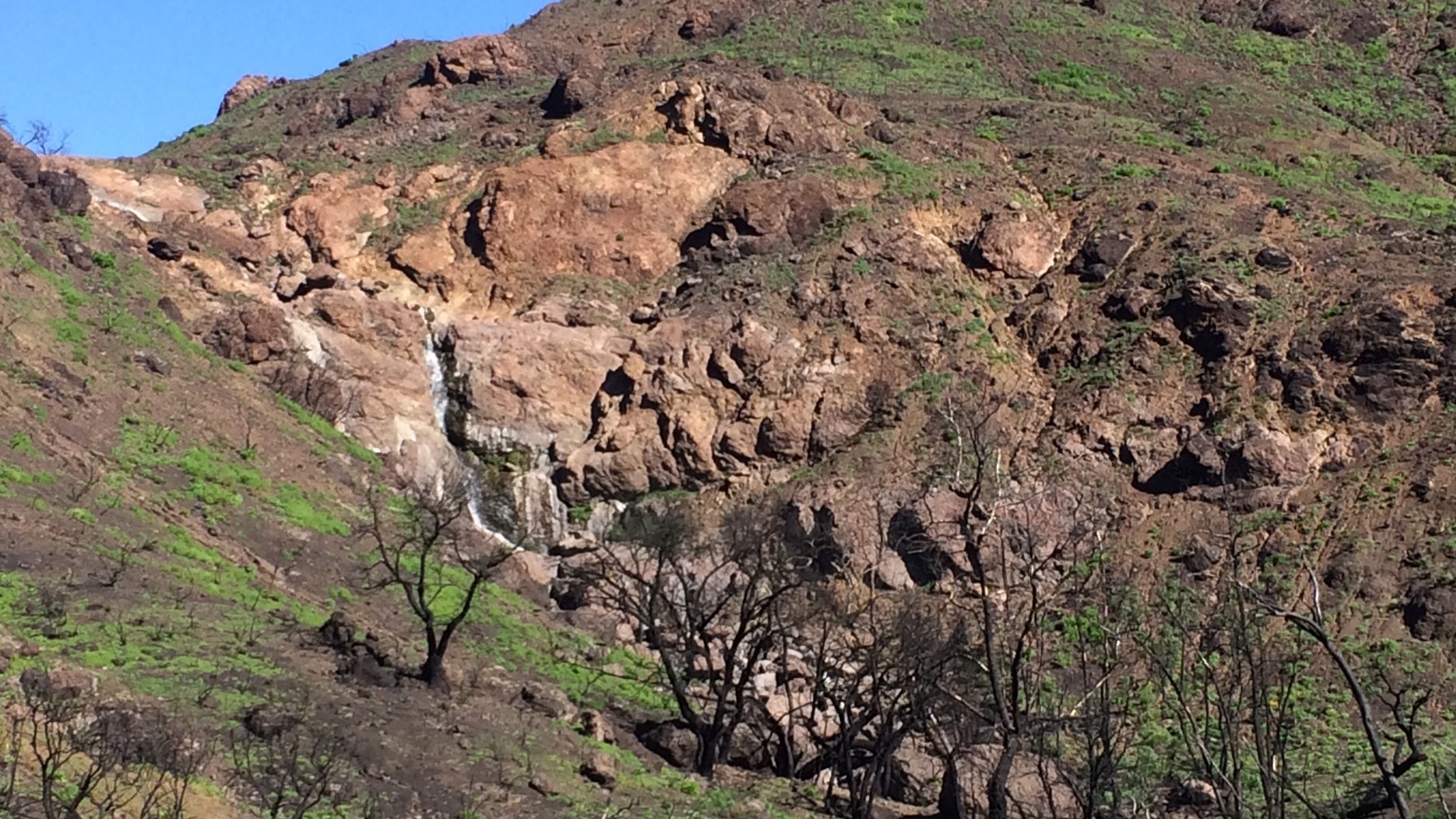
Another warm day !!! Please bring lots of fluids; 3 liters are recommended. Temps mild with an early start ending @ mid to high 80's. DESCRIPTION: Initial challenging climb up a canyon with a running stream to an old Campground, then a long fire road to top towards Sawmill , then a long section of […]
Please join us for a performance by Ember Knight (Sage's daughter): Dark Ride/Immersion Experience/Concert UNNAMED music video (the song Jim's been playing on hikes): https://www.youtube.com/watch?v=Hr8w7CvS7eI&list=RDHr8w7CvS7eI&start_radio=1 Ember began soloing for the 120-member Agape Intl Choir at the age of 3. $25 GA in advance GA $35. at the door (if space allows) "Getting Mad, one of […]
This hike will be at Crystal Cove State Park. We will be doing part of the Moro Canyon trails. This hike will be about 6.6 miles with approximately 1,000 ft. of elevation gain. We are beginning at the Ridge Park Entrance (see the map for exact details on where to go.) This hike will take […]
Hike #7 in the 2025 Saturday in the Santa Monica Mountains series is a SUNDAY outing. It is a strenuous 11 miles, 2300 gain hike up Hondo Canyon across Fossil Ridge to lunch at Saddle Peak and return. Meet at 8:00 am at Old Topanga Canyon Backbone trailhead (take Old Topanga Canyon Road one mile […]
Named after Benatar's 1983 live album, LIVE FROM EARTH celebrates the music of rock legend and Rock & Roll Hall of Fame member Pat Benatar. Vocalist Jill Marie Burke, who also headlines as "Pat" in the long-running famous LEGENDS IN CONCERT in Las Vegas, brings her powerhouse vocals to the stage in an uncanny resemblance […]
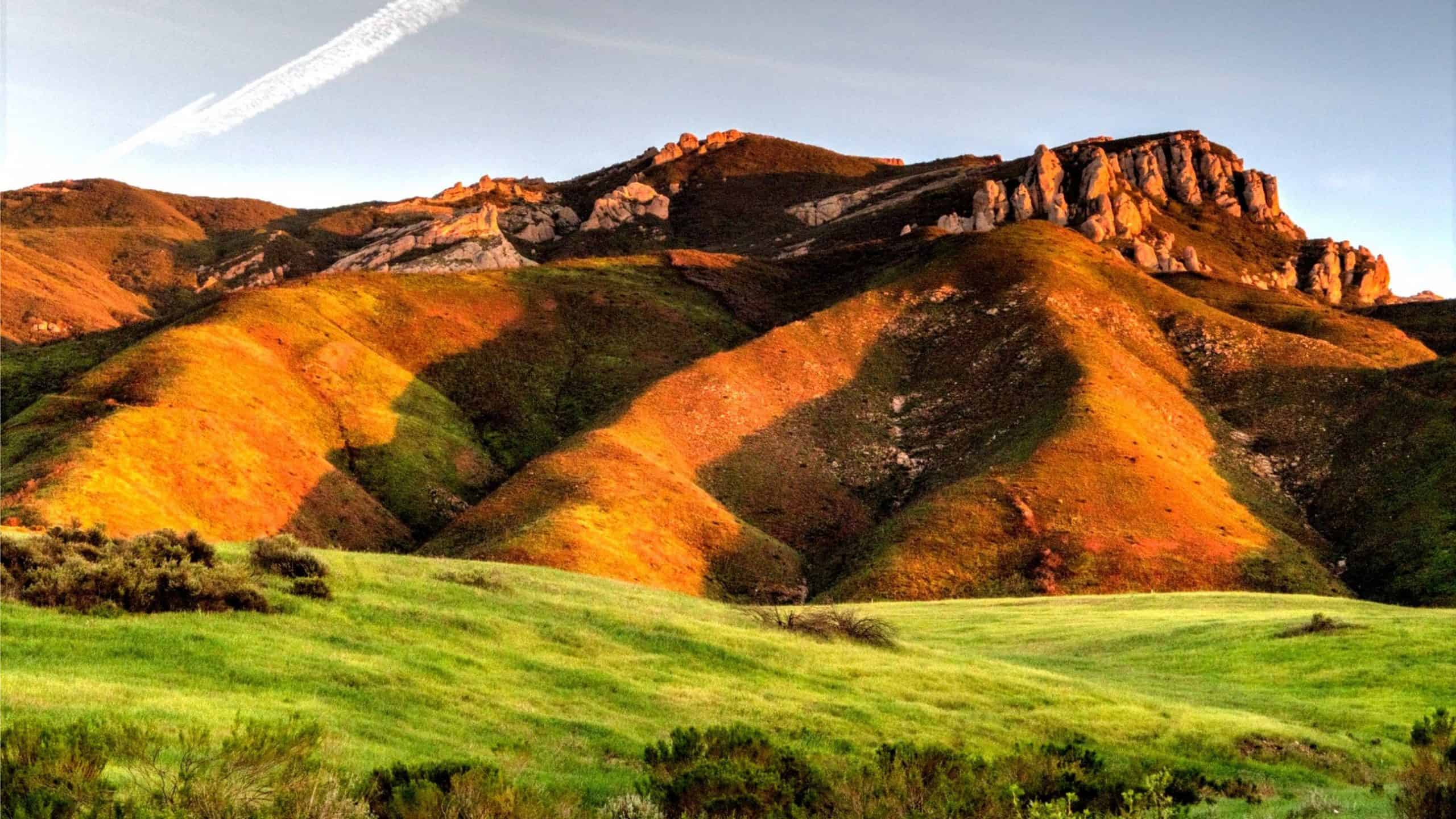
ROUTE This will be our planned route. The California Central Coast region is world renowned as one of the most scenic parts of the entire west coast. Imagine an even better view than the coast highway has to offer. A road where there is no tour buses in front of you & no sports car […]
This hike will start at 8:00. We will meet in the parking lot on Kanan at Newton Canyon, we'll jump on the Backbone Trail for a cruise over and up to the peak of the Zuma Ridge Trail at Buzzard's Roost. On the ridge, we'll have a great view of Zuma Beach and the Pacific. […]
HIKE DETAILS: This will be a little easier hike for Tuesday, with less elevation gain, less miles, and slower. Should you change hikes, don't forget to cancel the one you are not going on this Tuesday. This hike will go from the beach up to the picnic table on the fire road, approximately 5.5 miles. […]
ROUTE This will be our planned route. The California Central Coast region is world renowned as one of the most scenic parts of the entire west coast. Imagine an even better view than the coast highway has to offer. A road where there is no tour buses in front of you & no sports car […]
Please note this hike will start at the trailhead we use for the Boney Hike (junction of South Wendy Drive and Portrero Road). We will take the single track trail about one-half mile to where the Angel Vista TH begins to add about an extra mile to the hike. Hoping to get back before it […]
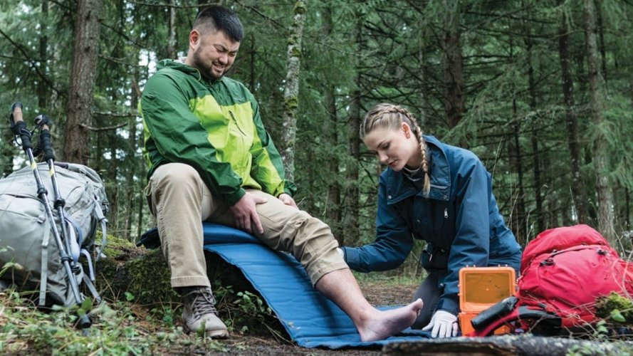
It's great to be active and outside. But do you have a good plan when things don't go right? Join us for a discussion at Sports Basement and learn how to deal with: * Physical injuries such as blisters, twisted ankles, cuts, scrapes, and thorns * Plants: Poison oak, poison ivy, thorny pokers, and more […]
This is a second hike for Thursday starting at 8:30. We will start at Santa Rosa parking lot, cross the bridge over the water and hike down to the new bridge. We will cross the new bridge and hike up to Lizards Rock. Maybe we will run into the other hikers who are going to […]
Wildwood Park is one of our most versatile local parks, with 27 miles of trails traversing rocky volcanic cliffs, cacti-filled desert environs, riparian forest, and a cool, watery canyon. Wildwood's western look served as backdrop for TV classics such as The Rifleman, Gunsmoke, and Wagon Train. We will meet at Wildwood's main parking lot. This […]
5.3 miles, 600' gain, Easy-Intermediate 2.5 miles, 100' gain, Beginner We start by crossing a bridge into a wooded area and continue down a relatively flat path alongside a stream. After about a mile, we'll come to a junction. For those that want the full hike, we'll turn right and complete a 3 mile loop […]
ROUTE This will be the planned route. This ride will be on paved roads through citrus groves and hills as we take on a big loop in the Camarillo/Moorpark area. Near the end of the ride, if possible, we'll be stopping for lunch at the Somis Cafe and Market. They are well known for their […]
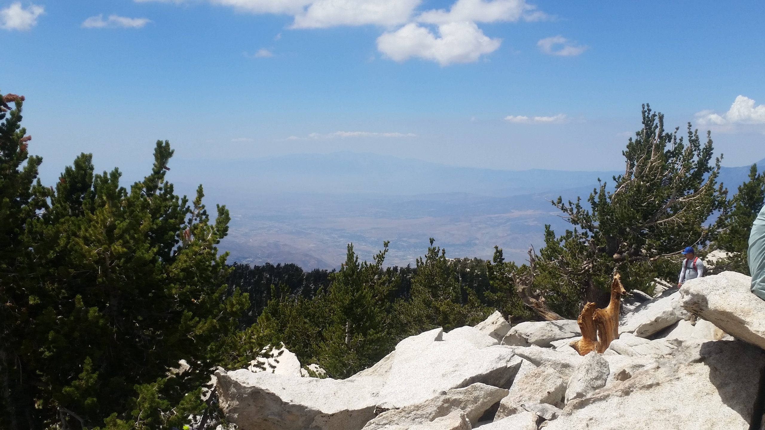
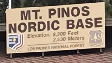
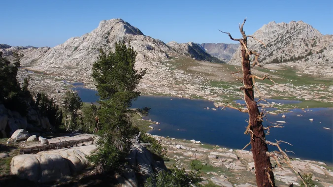
DESCRIPTION: We will take you away from the summer heat of SCV, dropping ~20 degrees to enjoy alpine views while listening to the wind gently caress huge pines. Starting at the Nordic Hut lot / trailhead (8340'), first we summit Mt. Pinos (8847') and then after descending some switchbacks, we ascend again to summit Sawmill […]
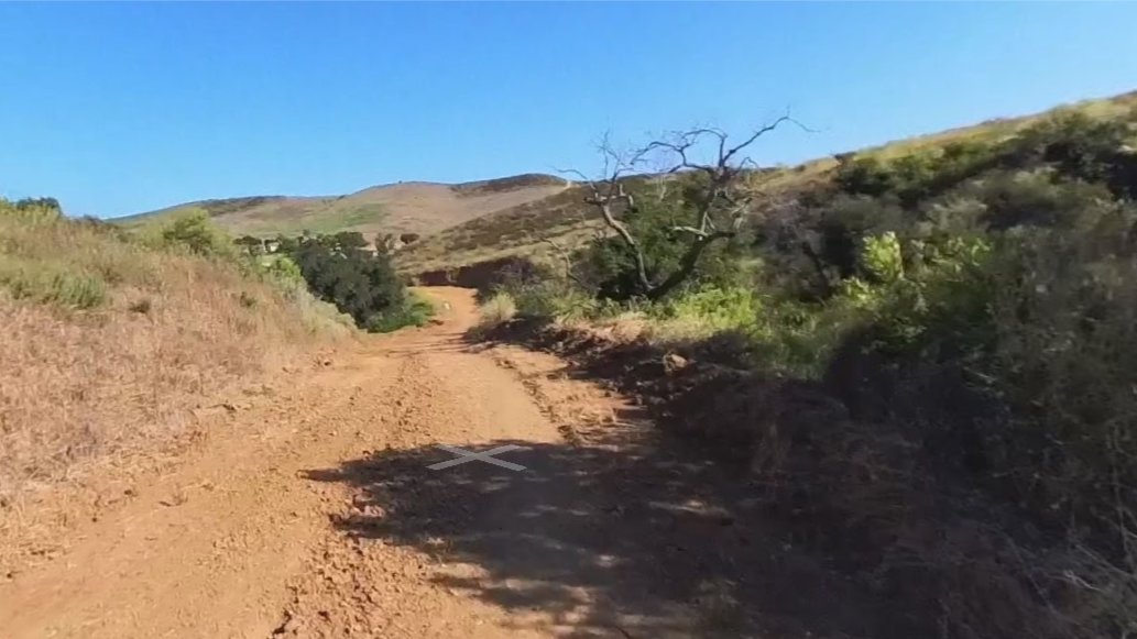
The hike I am planning is around 6.3 miles with about 700 ft. of elevation gain. It starts at the very end of the paved road, the long gray strip that can be seen on the map. We will begin at the Bell Canyon Trail head. We will continue onto that and then take it […]
Rebel Heart, modern country hits *Line dancing with Candy Sherwin before the show @ 6:30pm! We'll enjoy potluck picnic at 5:30pm. The concert begins at 7:00 p.m. Food Trucks open or service beginning at 6:00 p.m. Please bring food, drinks to share. If your item requires utensils/plates/toothpicks, etc., please bring them. You may wish to […]
5.0 miles, 640' gain, Easy Intermediate Starting at the Wendy trailhead we hike about 1/4 mile and take the left fork up the Windmill Trail, a steep, but short climb (0.1 miles, 100 ft gain). At the top of this steep climb we'll take the right fork down the Wendy-Satwiwa Connector into the grasslands for […]
ROUTE: This will be our route. Once again we will be heading into the Hope Ranch area of Santa Barbara. Starting out at The Arroyo Burro Beach County Park, we'll make our way over to Hope Ranch and follow a planned route through the beautiful landscaped neighborhoods. From there, its on to the More Mesa […]
UPDATE: Please review our guidelines to participate in our hikes. Here are some highlights and a link to the guidelines: https://www.meetup.com/The-Weekday-Trailblazers/about/ Restrictions apply for your safety and ours: Don't show up unless you're on the "Attending" list No "Plus Ones" on this hike Plan on completing the entire hike at a reasonable pace or please […]
This hike starts at 8:00 am from Gold Canyon Trail to Wildwood Canyon Trail. Wildwood Park in Thousand Oaks is one of the most versatile local parks there is, with 27 miles of trails skittering through rocky cliffs, cacti-filled desert environs, volcanic rock, riparian forest, and a cool, watery canyon. We will pass through various […]
4 miles, 950' gain, Intermediate 2 miles, 550', Fit Beginner This will be our 1000th meetup event since the group started. We have such a great bunch of people that attend these hikes! This is a modified version of the famous Rocky Peak hike. It gives those that want something easier, a chance to climb […]
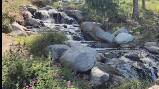
ROUTE < This is the route we will be riding This will be a loop ride that has us riding in 3 cities. After the ride, as an option, we can have a picnic next to the Oak Canyon Community Park's waterfall. Make sure you bring along a spare inner tube or slime. MEETUP LOCATION […]
Haven't done this hike in a long time. Hoping the marshy area has dried up since we have had no rain in a while. Please read these restrictions before signing up. Don't show up unless you're shown on the "Attending" list Unregistered or waitlisted will be turned away No "Plus Ones" on this hike No […]
This is the same hike that Dave is leading but 30 minutes earlier. We will enter MCSP on the Yearling. We will divert onto the Deer Leg trail to Cage trail which descends to Crags Road. From Crags Road we cross Malibu Creek (bridge) to the Forest Trail. The Forest Trail parallels the south side […]
This hike includes 2 trails we have not done on previous treks to the MASH site. We will enter MCSP on the Yearling Trail but that is where this hike diverts from the ordinary. We will jump onto the Deer Leg trail to Cage trail which descends to Crags Road. From Crags Road we cross […]
Note 8:30 am start time! This hike will start at 8:30 and we will probably go slower than David's Malibu Canyon hike. It's usually a bit cooler in the Dos Vientos area. We will loop around the periphery of Dos Vientos Open Space, passing Twin Ponds, overlooking Potrero Road and the Oxnard Plain with the […]
ROUTE This will be the planned route. This ride will be on paved roads through citrus groves as we ride from downtown Santa Paula's old train depot using backroads to Fillmore's old train depot. While in Fillmore we'll check out the Fillmore Historic Museum as well as their bike paths and back roads. Following the […]
Many from this group, plus other friends, will attend this event at Tierra Rejada Golf Club. The band playing (Bad Habit) plays the best of classic '80s and '90s pop/rock and dance hits. No cover charge. Look in the comments to see where to find us! The band starts at 6p, but get there an […]
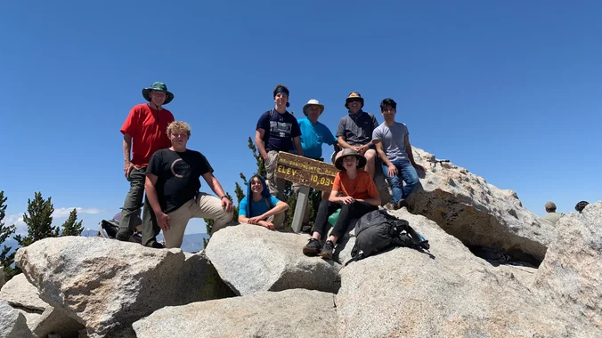
This is a 7 day cross country trip. Only members who have done high Sierra cross country hiking with me will be added. 66mi 20,000ft mostly off trail. Skurka's Description GAIA track I made from route description Proposed itinerary (definitely subject to change) Day 0 (Saturday August 2nd): San Diego to Tuolumne Meadows to Leavitt […]
Hike #8 in the 2025 Saturday in the Santa Monica Mountains series is a strenuous 14 miles, 2500 gain hike from Sycamore Canyon through Serrano Valley to lunch at Chamberlain Split Rock Memorial and return. Meet at the Lower Sycamore Canyon fee parking lot on the in-land side of the PCH (PCH West 19 miles […]
Hike #8 in the 2025 Saturday in the Santa Monica Mountains series is a 9 miles and 1500 feet elevation gain hike from the Dead Horse Trailhead to the Musch Trail to Eagle Rock then to Cathedral Rock. Meet 8:00 am at the Dead Horse Trailhead parking lot on Entrada Rd (PCH to Topanga Canyon […]
The hike we will be doing will be around 5 miles long with 875 ft. of elevation gain. This will be a loop starting at the parking lot of Nix Nature Center. As you will see on the map, this is at the main park entrance off of the 133 (Little Sycamore Canyon Staging Area). […]
ROUTE < This is the route we will be riding This is a cool loop ride taking us through two coastal towns (Summerland & Carpinteria) with some beautiful scenery along the way. There will be some dirt riding and we'll be on Hwy 192 which will have light traffic Sunday morning. Make sure your inner […]
Trail statistics are approximate. For safety purposes always assume they are underestimated. But don’t be disappointed if they are overestimated. Bring more water and snacks than you think you’ll need.
Trail descriptions are based on previous hikes. Current conditions are unknown until arrival. Expect the unexpected and plan accordingly.
The Organizers and members of Hiking With Dean are not professional leaders, guides, or mountaineers. The function of the member or organizer is only to organize the trip. Each person who shows up for a trip/meetup (and their guest or guests) is responsible for his or her own safety. By attending a hike, or any other event organized by this group, you are acknowledging that you and any guests that you bring are aware of the risks, dangers and hazards associated with the activity and freely accept and fully assume all such risks, dangers and hazards, and further agree to release and discharge the Organizers, Members of the Hiking With Dean Meetup Group from and against any and all liability arising from your participation in the group activities per our ASSUMPTION OF RISK AND LIABILITY WAIVER and Section 6.2 of the Meetup.com Terms of Service.


Recent Comments