Site Search

Hiking Calendar

Angel Vista Full Moon potluck hike

Rosewood Trailhead 305 Regal Oak Ct, Thousand Oaks, CA, US

Happy Full Moon! Let’s enjoy hike and potluck! This hike is rated easy-intermediate because it is a continuous incline for 1.5 miles. This isn't real steep, but it is continuous, and many beginner hikers have indicated this should be rated intermediate (https://www.meetup.com/Hiking-Plus/messages/boards/thread/50879781). That said, there is no reason a fit beginner cannot complete this hike. […]

18 MILE ARROYO SIMI GREENWAY BIKE RIDE + OPTIONAL LUNCH

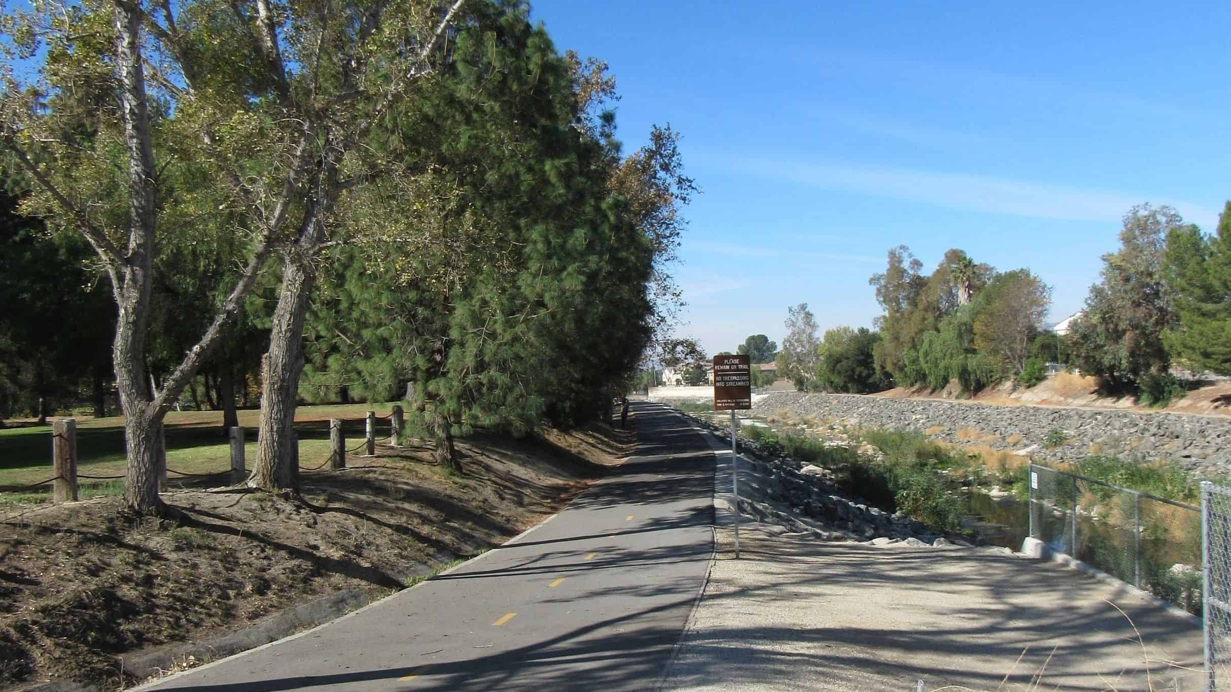
DaveR is slowly getting his bike legs back in shape with this easy bike ride on the Arroyo Simi Greenway followed by an optional lunch by picking up food at El Pollo Corona and taking it back to Rancho Simi Community Park to enjoy. Some of us will have ebikes, but we'll be going slow […]

Santa Maria Canyon – Summer Hill Ranch Loop

Viewridge - Summit Pointe Estates 3110 N Summit Pointe Dr, Topanga, CA

This short hike offers a nice variety of canyon and ocean scenery, and is not as well traveled as some of the other trails in the eastern Santa Monica Mountains. We'll enjoy a great “lollipop” outing in the northeastern corner of Topanga State Park starting at the Viewridge Trailhead for Santa Maria Canyon. We'll connect […]

Las Llajas – Suitable for beginners

Las Llajas Canyon Trail trailhead 5715 Evening Sky Drive, Simi Valley, CA, Simi Valley, CA, US

5 miles, 700' gain, Beginner. This hike is a great trail for beginners because all the elevation gain is distributed. It is a walk down a rolling fire road through a really cool canyon, and you will find no difficult or extended elevation climbs. This is one of my favorite trails for people new to […]

Challenging Steep Long Sunset Night Hike: DeBell to top of Verdugo Loop

2300 E Walnut Ave 2300 E Walnut Ave, Burbank, CA, US

STATSDifficulty: 5/10, Moderate-Long with steep sectionsLength: 5.4 miles, 3 hours + breaksElevation:Gain/loss: 2200'Range: 1500-3000'View: Mountains & City LightsDetails: Long Hike, Great views from top ridge TRAILHEAD INFO2300 E Walnut Ave, Burbank, CA 9150 Map pin is south of address due to gates that get locked at sunset. Please park on the east side of Walnut […]

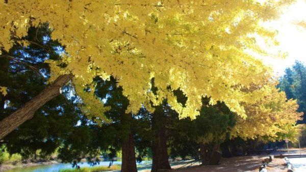
JACKSON LAKE LOOP – A 9.5 MILE 2000′ GAIN FALL COLORS HIKE

The Jackson Lake Trail is a high-quality single track snaking through the woods on the northern slope of the San Gabriel Mountains. Some of the most beautiful forest in the range can be seen along the trail, including huge ponderosa pine, jeffrey pine, white fir, live oak, black oak, big-leaf maple, alder, and willow. The […]

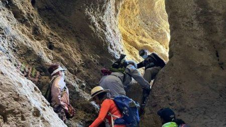
STORMING THE CASTLE via the CAVE OF MUNITS and then a frontal assault

El Escorpión Park Los Angeles, CA, US

BEFORE YOU WILL BE MOVED TO THE GOING LIST, YOU WILL NEED TO UPDATE YOUR CDH PROFILE (The three questions must be answered with a "yes") IF YOU HAVE NOT ALREADY DONE SO.NEED HELP:go to: https://wp.me/P9MbG4-hC CASTLE PEAKJoin me on a task to storm the castle (Castle Peak) via two attempts in El Escorpion Park. […]

Baldy from the Village Out and Back

Mt Baldy Lodge 6777 Mt Baldy Rd, Mt Baldy, CA, US

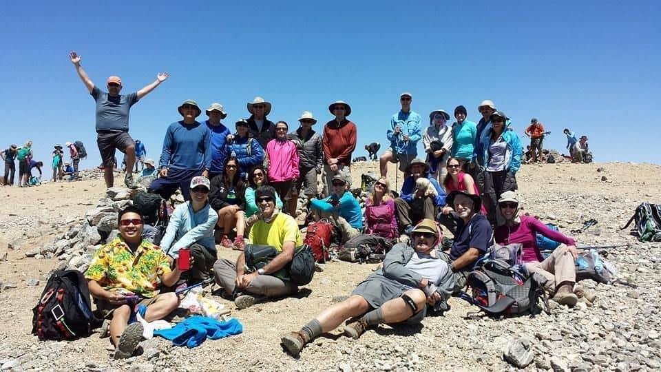
Advanced Hikers Only, with Previous Summit Experience! We'll be taking the Bear Canyon Trail that starts in Baldy Village and hiking to the summit and returning the same way. Be careful where you park! Do not park in the lot across from the Baldy Lodge & Saloon. You must find a place on the street […]

🌻🌸🌼 MALIBU CREEK STATE PARK – 4 1/2 mile hike – great for beginners!! 🌸🌼🌻

Malibu Creek State Park 1925 Las Virgenes Rd, Calabasas, CA, US

🌸🌼🌻🌺 YAAAYYYYY!!!!!!! 🌼🌻 Hope everyone's safe, healthy and relatively SANE!!! 🌼🌻 4 1/2 mile HIKE THIS is where they filmed M*A*S*H*, "Planet of the Apes" and a gazillion other movies... GOOGLE MAPS TO MALIBU CREEK PARK - CLICK HERE https://goo.gl/maps/SZVdsQem2eK2 CLICK HERE FOR M*A*S*H* VIDEO http://www.youtube.com/watch?v=ICiFnQrHOrk 🌼🌻 MALIBU CREEK STATE PARK 🌼🌻 ( FEE AREA […]


Trail statistics are approximate. For safety purposes always assume they are underestimated. But don’t be disappointed if they are overestimated. Bring more water and snacks than you think you’ll need.

Trail descriptions are based on previous hikes. Current conditions are unknown until arrival. Expect the unexpected and plan accordingly.

The Organizers and members of Hiking With Dean are not professional leaders, guides, or mountaineers. The function of the member or organizer is only to organize the trip. Each person who shows up for a trip/meetup (and their guest or guests) is responsible for his or her own safety. By attending a hike, or any other event organized by this group, you are acknowledging that you and any guests that you bring are aware of the risks, dangers and hazards associated with the activity and freely accept and fully assume all such risks, dangers and hazards, and further agree to release and discharge the Organizers, Members of the Hiking With Dean Meetup Group from and against any and all liability arising from your participation in the group activities per our ASSUMPTION OF RISK AND LIABILITY WAIVER and Section 6.2 of the Meetup.com Terms of Service.