Site Search

Hiking Calendar

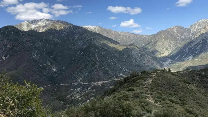
San Dimas Canyon to Sunset Peak Radio Towers

San Dimas Canyon Dam Area 9865 N San Dimas Canyon Rd, La Verne, CA, US

https://www.alltrails.com/trail/us/california/san-dimas-canyon-to-sunset-peak-radio-towers?u=i * We are gonna be doing this awesome hike for the second time if you joined us the first time...this time we will be doing the additional .25 mile […]

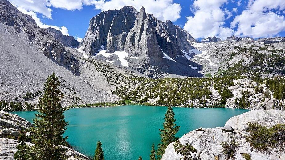
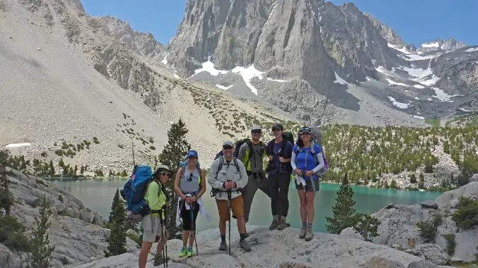
2-Night backpack of Big Pine Lakes Trail (Valencia Hiking Crew)

Big Pine Creek Overnight Parking Big Pine, CA, US

Description: This is a 2-night backpacking trip. There are two trailheads to do this hike. One is at the "Big Pine Creek Overnight Parking." And the other is at the […]

Los Padres – Mother’s Day Hike with Potluck Picnic stop

Los Padres Trailhead 15 Los Padres Drive, Thousand Oaks, CA, US

**3.5 miles, 700' gain, Easy Intermediate.** Easy Option: 2.4 miles, 340' gain, Fit Beginner. Happy Mother's Day to all beings who have a motherly heart! Let's embrace this opportunity and […]

Talopop – Suitable for fit beginners

Talopop at Juan Bautista de Anza Park 3701 Lost Hills Road, Calabasas, CA, US

**Fit Beginner, 4.1 miles, 720' gain.** **Easier route: 3.9 miles, 500' gain.** Is it Talepop or Talopop? Maps and signs that I have seen, use the 2nd spelling, but a […]

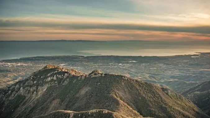
SANTA BARBARA COASTAL RANGE TREK (ROCK GARDEN AND WHITE MOUNTAIN)

Upper Rattlesnake Canyon trailhead on Gibraltar Road Gibraltar Road, Santa Barbara, ca, US

BEFORE YOU WILL BE MOVED TO THE GOING LIST, YOU WILL NEED TO UPDATE YOUR CDH PROFILE (The three questions must be answered with a "yes") IF YOU HAVE NOT […]

Angel Vista – Easy Intermediate

Rosewood Trailhead 305 Regal Oak Ct, Thousand Oaks, CA, US

**3.0 miles, 800' gain, easy-intermediate.** This hike is rated easy-intermediate because it is a continuous incline for 1.5 miles. This isn't real steep, but it is continuous, and many beginner […]

[asa2_collection tpl=”Flex_1″ orderby=”rand” limit=”4″]2[/asa2_collection]

Trail statistics are approximate. For safety purposes always assume they are underestimated. But don’t be disappointed if they are overestimated. Bring more water and snacks than you think you’ll need.

Trail descriptions are based on previous hikes. Current conditions are unknown until arrival. Expect the unexpected and plan accordingly.

The Organizers and members of Hiking With Dean are not professional leaders, guides, or mountaineers. The function of the member or organizer is only to organize the trip. Each person who shows up for a trip/meetup (and their guest or guests) is responsible for his or her own safety. By attending a hike, or any other event organized by this group, you are acknowledging that you and any guests that you bring are aware of the risks, dangers and hazards associated with the activity and freely accept and fully assume all such risks, dangers and hazards, and further agree to release and discharge the Organizers, Members of the Hiking With Dean Meetup Group from and against any and all liability arising from your participation in the group activities per our ASSUMPTION OF RISK AND LIABILITY WAIVER and Section 6.2 of the Meetup.com Terms of Service.