Site Search

Hiking Calendar

MidWeek Hike-Las Virgenes Trail to Cheseboro Ridge ~5 mile loop

End of Las Virgenes Rd 5986-6004 Las Virgenes Rd, Calabasas, CA, US

Approximately 5.0 mile loop. PLEASE FOLLOW THE DIRECTIONS IN THE WRITEUP BELOW TO GET TO THE TRAILHEAD. This Loop is about 5 miles long. This hike is rated moderate for its elevation gain and distance. The group hikes between 2.5 and 3.5 mph. If you cannot hike at a minimum of 2.5 mph, please do […]

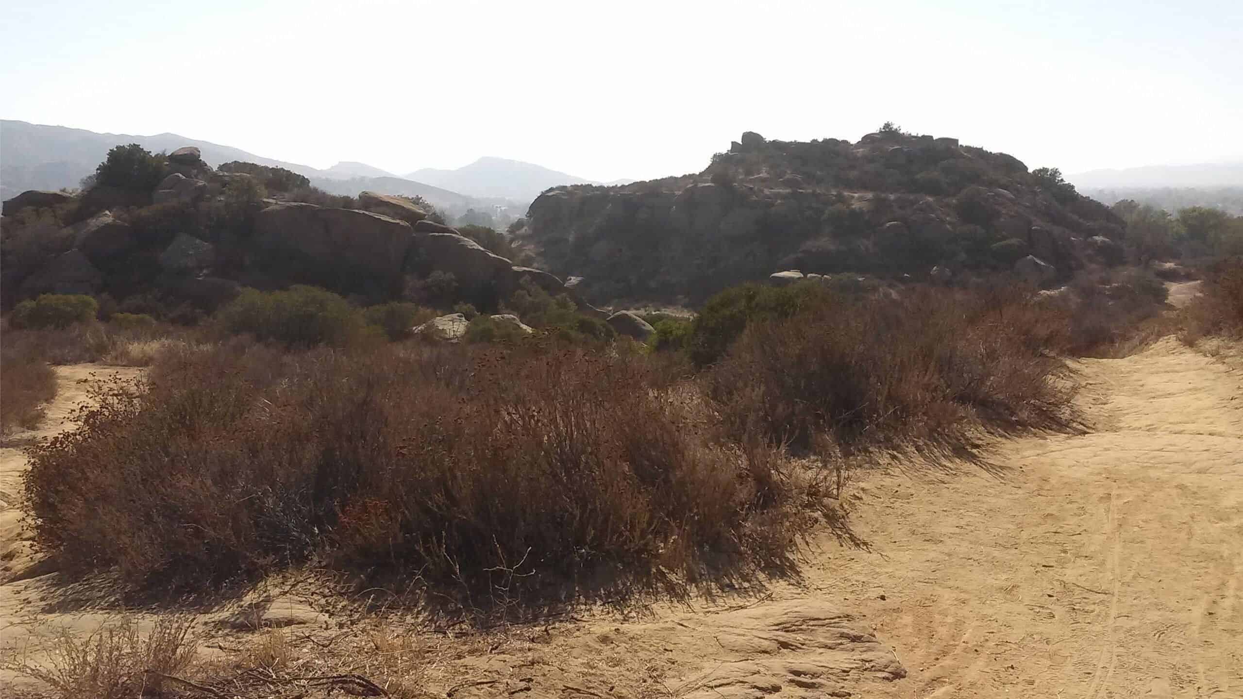
Corriganville the Back Way Double Loop Lollipop

Rocky Peak Trail 7900 Santa Susana Pass Rd, Simi Valley, CA, US

3.5 miles, 700' gain, easy-intermediate. Short option: 2.0 miles, 500' gain option.There is an option to shorten this to 2.0 miles and 500' of gain by skipping the 2nd loop, which starts from our social event area. The wait would be about 35 minutes for the rest of the group to complete the 2nd loop. […]

New Las Virgenes Creek Trail (Overgrown?)

Talopop at Juan Bautista de Anza Park 3701 Lost Hills Road, Calabasas, CA, US

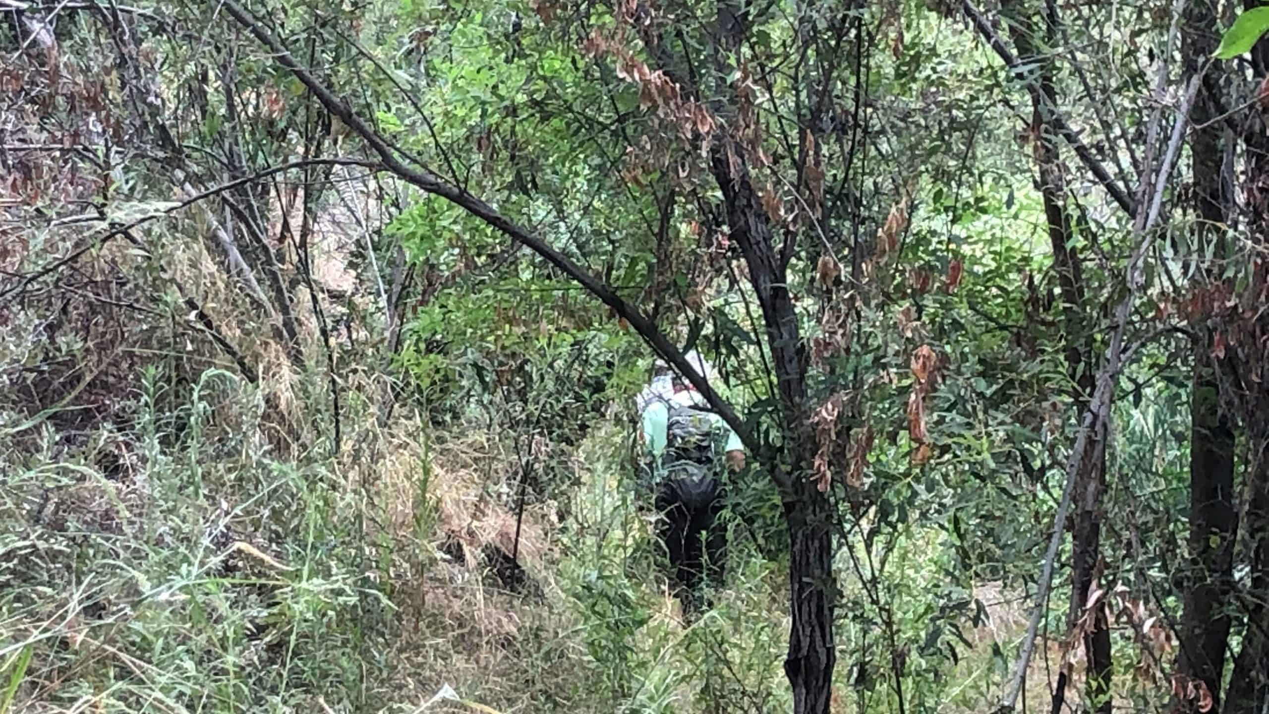
BEFORE YOU WILL BE MOVED TO THE GOING LIST, YOU WILL NEED TO UPDATE YOUR CDH PROFILE (The three questions must be answered with a "yes") IF YOU HAVE NOT ALREADY DONE SO.NEED HELP:go to: https://wp.me/P9MbG4-hC I will be hiking 4 miles along the relatively new Las Virgenes Creek trail again, which we did recently […]

Bowling and Social Event

Harley's Valley Bowl 5255 Cochran Street, Simi Valley, US

We are back! Since this adventure started, we have set ourselves apart. It's the people and the format of our events. Hiking is fun. Hiking-Plus is fun-Plus! This is Bowling with a Social Event! Please be aware there are two Harley's bowling alleys in Simi Valley. This is the one on Cochran at Stearns. You […]

El Prieto to Brown Mt Trail & Ken Burton Junction

Odyssey Charter School 725 W Altadena Dr, Altadena, CA, US

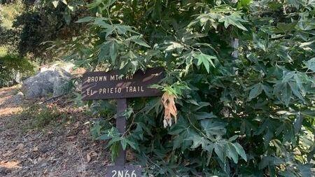
Per Sachika and Carmen A. request. Out and back. Trail is well maintained, shaded and cooler in the canyon. Not for beginners. Distance: 6>Elevation Gain: 2086> we will find out Directions: On the 210 Freeway from La Canada/Hwy 2, take the Arroyo/Windsor exit and head north (left). Make an immediate right on Woodbury Rd. Make […]

San Gorgonio via Vivian Creek trail

Big Falls Trailhead 1E13 41570 Falls Rd, Forest Falls, CA, US

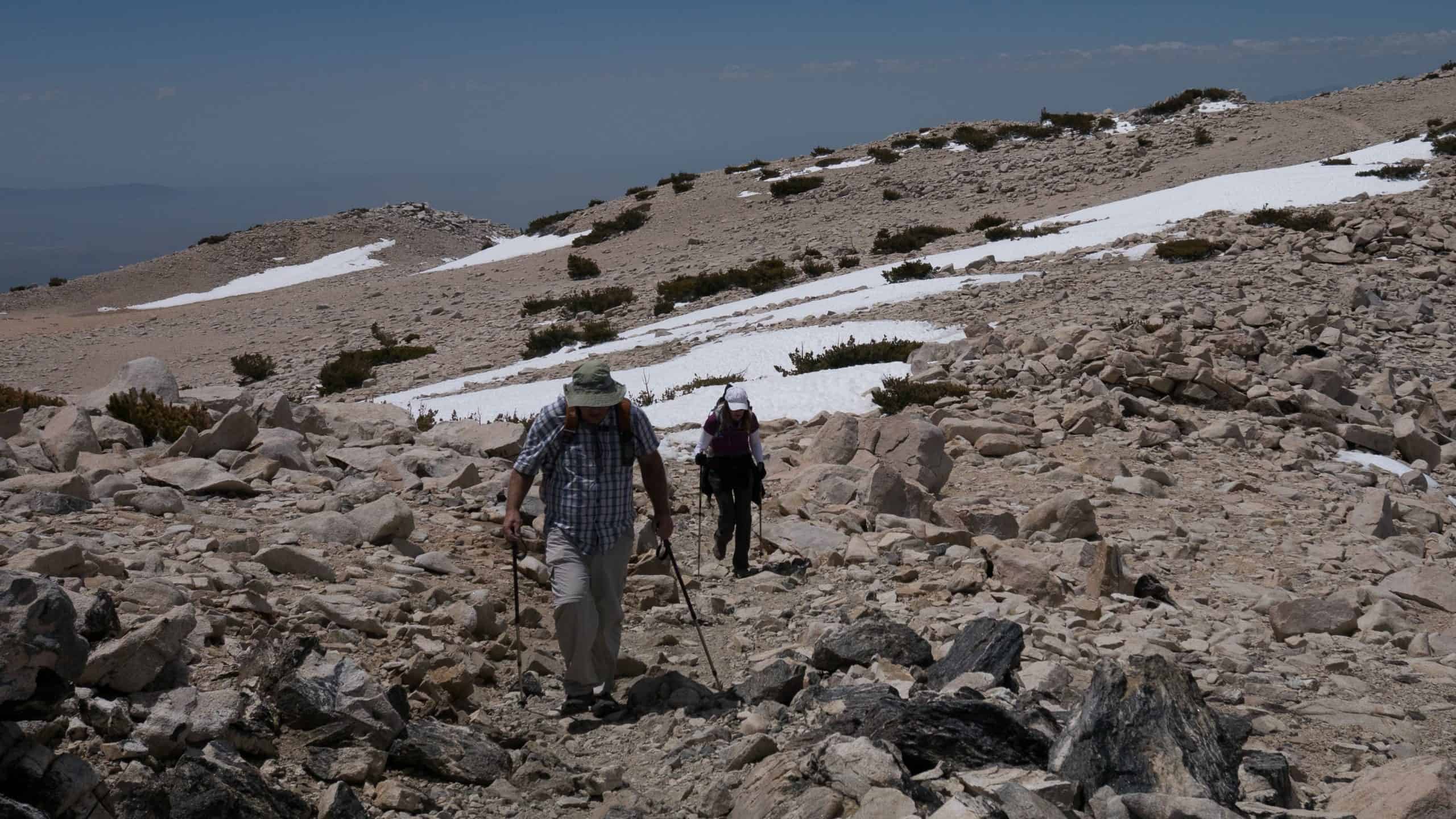
Total Distance: 18.5 milesElevation: 5,470 elevation gainRating: Strenuous I have a permit for 12 on July 31st and would love to have some company on this iconic and strenuous hike. Everyone goes to the wait list first and then based upon my knowledge of your experience and qualifications, hikers will be added. This is an […]

Grasslands Trail to Century Lake to the Mash Site-7 miles

Grasslands Trail Head 26998-26970 Mulholland Hwy, Agoura Hills, CA, US

We'll start on the Grassland Trail off of Mulholland Hwy and head south on a scenic stroll over rolling hills and through open fields of grain. Our destination is the famous Mash site.Hike will be an easy 7 miles with 500 ft elevation gain. Suitable for fit beginners. DIRECTIONSTrail head and free street parking on […]

Secret Staircases of Rustic Canyon + Murphy Ranch

Sullivan Ridge at Casale Rd Capri Drive and Casale Road, Los Angeles, CA, US

Join our Facebook group at https://www.facebook.com/groups/hikingwithdean/ A hidden staircase, the longest public staircase in Los Angeles, drops 24 stories into the middle of lush Rustic Canyon. I will combine a 6-mile hike with the stairs taking in Rustic and Sullivan Canyons by way of little known trails. Along the way we'll visit Murphy Ranch, a […]

Invasive Plant Removal Volunteer Morning

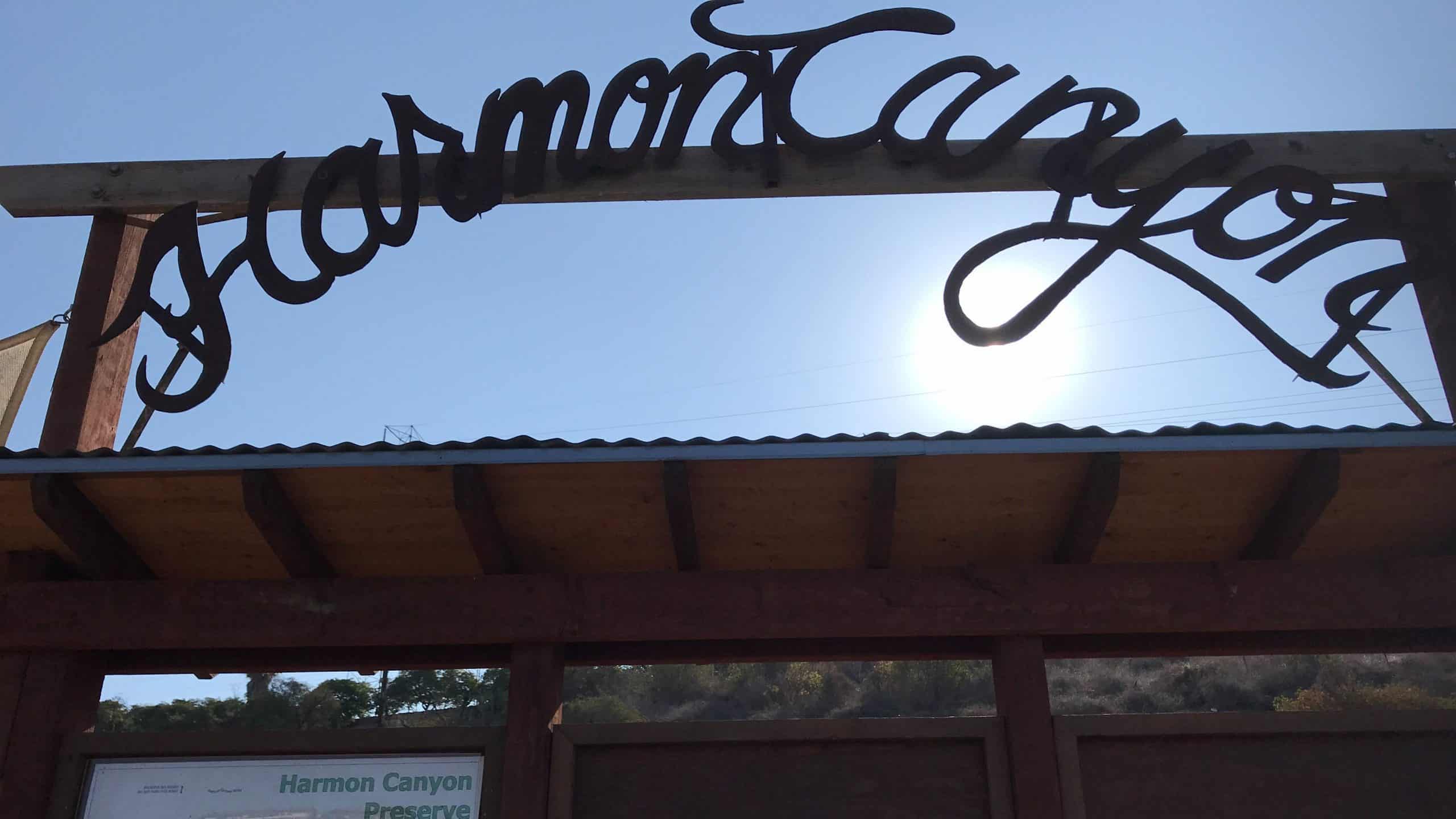
Harmon Canyon Preserve 7511 Foothill Rd, Ventura, CA, US

Give the ecosystem a helping hand at Harmon Canyon working under the guidance of Ventura Land Trust (VLT) leaders. Exact activities will be determined day of the volunteering but example tasks are: hand pull small invasive plants, hike 1 mi for streambed invasive plant removal (tamarix). No plant expertise necessary. BRING gloves, spade or hand […]

[asa2_collection tpl=”Flex_1″ orderby=”rand” limit=”4″]2[/asa2_collection]

Trail statistics are approximate. For safety purposes always assume they are underestimated. But don’t be disappointed if they are overestimated. Bring more water and snacks than you think you’ll need.

Trail descriptions are based on previous hikes. Current conditions are unknown until arrival. Expect the unexpected and plan accordingly.

The Organizers and members of Hiking With Dean are not professional leaders, guides, or mountaineers. The function of the member or organizer is only to organize the trip. Each person who shows up for a trip/meetup (and their guest or guests) is responsible for his or her own safety. By attending a hike, or any other event organized by this group, you are acknowledging that you and any guests that you bring are aware of the risks, dangers and hazards associated with the activity and freely accept and fully assume all such risks, dangers and hazards, and further agree to release and discharge the Organizers, Members of the Hiking With Dean Meetup Group from and against any and all liability arising from your participation in the group activities per our ASSUMPTION OF RISK AND LIABILITY WAIVER and Section 6.2 of the Meetup.com Terms of Service.