Site Search

Hiking Calendar

Sagebrush Cantina: Hindsite

Sagebrush Cantina 23527 Calabasas Rd, Calabasas, CA, United States

Many from this group, plus other friends, will attend this event at Sagebrush Cantina. The band playing (Hindsite) puts on a fantastic show. This is one of the best venues I've experienced on LA's west side, and this is one of the best bands I've seen at this venue. Come see a Hollywood quality show […]

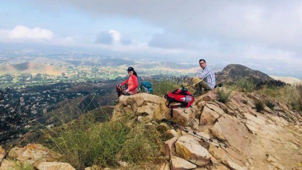
Simi Peak from China Flats Trailhead

China Flat Trailhead on Lindero Canyon Road, Oak Park, CA Between King James Court and Wembly Avenue (on the north side of Lindero Canyon Road), Oak Park, CA, US

Let's beat the heat! Bring enough water and if you can bring extra for Don's tree that is at the peak. Not for beginners Distance: 6> miles Elevation Gain: 1900 feet Pace: My pace Trail: Single track, exposed, out and back Directions: From the 101 Fwy, exit Lindero and go north. Drive several miles. At […]

Fast Times: Ultimate 80’s Tribute – Oak Park

5600 Hollytree Dr 5600 Hollytree Dr, Oak Park, CA, US

This event is cross-posted with:Ventura County Baby Boomer Fun Events: https://www.meetup.com/BabyBoomerEvents-com/events/279532287/BOOMER's GUYS AND GALS NETWORK!: https://www.meetup.com/BOOMER_FRIENDS_NETWORK/events/279532242/ Many of us from this group may attend this event. According to the Rancho Simi Recreation Park District website, the band playing is Fast Times. That band really puts on a fantastic show. Concerts start at 6:30 pm.Concert is […]

Tapo Canyon Trail

Tapo Canyon Road Tapo Canyon Rd, Simi Valley, CA, US

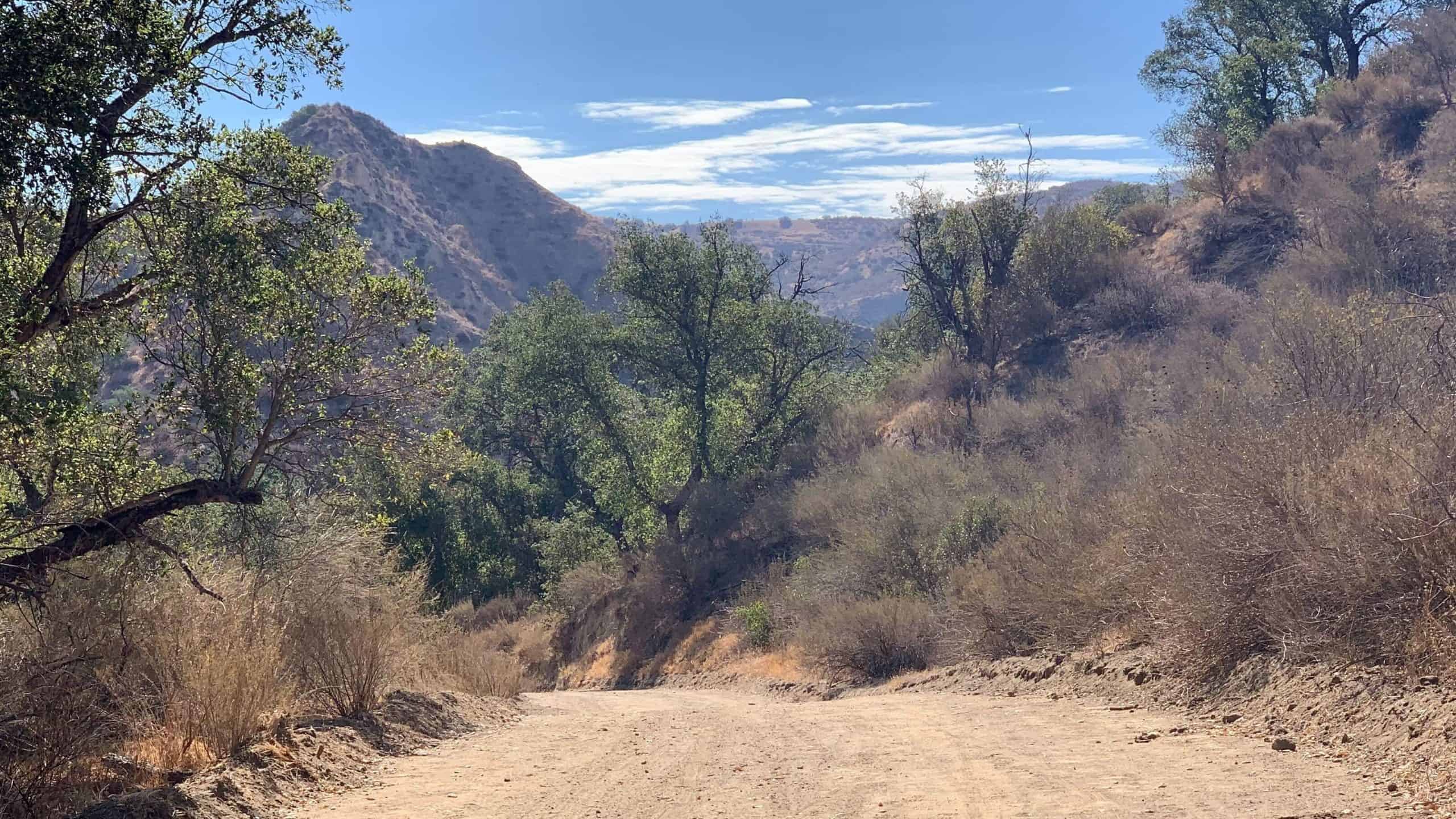
https://www.alltrails.com/trail/us/california/tapo-canyon-trail?u=i Hello fellow hikers,The heat is here but we still need to keep moving so the goal is to hit this trail (which has partial shade ) and be back at our cars before it gets to hot... so...Join me on a easier moderate hike at Tapo Canyon Trail in Simi Valley. This hike has […]

Angel Vista – Easy Intermediate

Rosewood Trailhead 305 Regal Oak Ct, Thousand Oaks, CA, US

3.0 miles, 800' gain, easy-intermediate. This hike is rated easy-intermediate because it is a continuous incline for 1.5 miles. This isn't real steep, but it is continuous, and many beginner hikers have indicated this should be rated intermediate (https://www.meetup.com/Hiking-Plus/messages/boards/thread/50879781). That said, there is no reason a fit beginner cannot complete this hike. If needed, just […]

Full Moon Potluck Hike-Rosewood Trail to Angel Vista

Rosewood Trail Trailhead 398 Regal Oak Ct, Thousand Oaks, CA, US

We’ll have enjoy potluck on the top under the beautiful full moon (well, this Buck moon is a bit shy. The moon rise is 9:42pm), then come back.Please bring some drinks and food to share.Let's do green, bring your own cup, plate and utensil. Cross-posted with Hiking Plus (https://www.meetup.com/Hiking-Plus/events/279616791/) Moderately easy a 3½ mile round […]

Towsley Canyon Late Afternoon Conditioning Hike

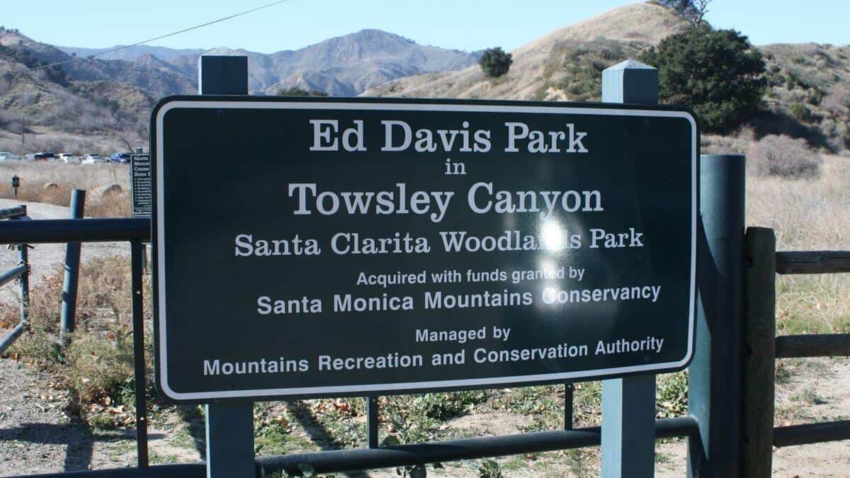
Ed Davis Park at Towsley Canyon 24255 The Old Rd, Newhall, CA, US

The Ed Davis Park in Towsely Canyon has several trails and we will take the most popular. Distance: 6 milesElevation Gain: 1600 ftDifficulty: Beginner to Intermediate pace.Dogs: are allowed in the park but must be leashed.Parking: There is lots of free parking on the outside of the gate and also on the inside. Pay attention […]

Ventura Botanical Gardens to the Beach

Vons 115 W Main St, Ventura, CA, US

Lets see whats growing in the Botanical Gardens. They are closed on Moday so will be free to us. After we're done we will walk down to the Promonade, along the beach to the River, and back to our cars.By joining this event, you understand that you may be hiking with vaccinated and non vaccinated […]

[asa2_collection tpl=”Flex_1″ orderby=”rand” limit=”4″]2[/asa2_collection]

Trail statistics are approximate. For safety purposes always assume they are underestimated. But don’t be disappointed if they are overestimated. Bring more water and snacks than you think you’ll need.

Trail descriptions are based on previous hikes. Current conditions are unknown until arrival. Expect the unexpected and plan accordingly.

The Organizers and members of Hiking With Dean are not professional leaders, guides, or mountaineers. The function of the member or organizer is only to organize the trip. Each person who shows up for a trip/meetup (and their guest or guests) is responsible for his or her own safety. By attending a hike, or any other event organized by this group, you are acknowledging that you and any guests that you bring are aware of the risks, dangers and hazards associated with the activity and freely accept and fully assume all such risks, dangers and hazards, and further agree to release and discharge the Organizers, Members of the Hiking With Dean Meetup Group from and against any and all liability arising from your participation in the group activities per our ASSUMPTION OF RISK AND LIABILITY WAIVER and Section 6.2 of the Meetup.com Terms of Service.