• Rancho Sierra Vista, Peace, Love, and Joy ~ Intermediate Hike

    Rancho Sierra Vista Rancho Sierra Vista/Point Mugu, Newbury Park, CA, US

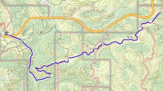
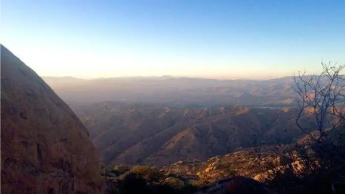
    Let's head out to the famed Peace, Love, Joy arch at the Danielson. This out and back hike wanders through grasslands and chaparral from the Rancho Sierra Vista trailhead, then climbs up Danielson fire road for some fantastic views north to Port Hueneme and Oxnard and west toward the Pacific Ocean. If it's really clear, […]

  • Happy Camp – Suitable for beginners

    Happy Camp 15100 Happy Camp Canyon Road, Moorpark, CA, US

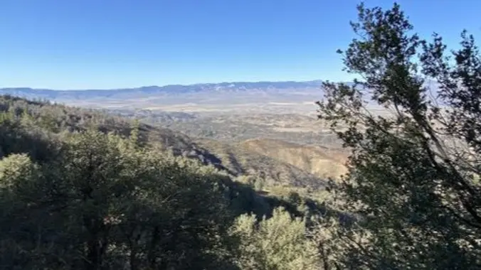
    Beginner, 5 miles, 500' gain. Bug spray recommended. This hike is entirely fire-road and is almost completely flat. Some of this trail is sandy, so walking it at times can be more difficult. There are a lot of different interesting plants on this hike. From the trail head, we walk along the fire road next […]

  • Rosewood Trail: Lynn to Angel Vista – Gentler Intermediate

    Regal Oak Court & Lynn Road Thousand Oaks, CA, US

    Meet at the Rosewood sign, which is at the Regal Oak Ct. and Lynn Rd. intersection. The hike is about 5 miles with an elevation gain/loss approximately 900’. We'll walk a short distance on Lynn road to the lower Rosewood Trail, then take the dirt trail up a shaded ravine and continue on the Rosewood […]

  • Encinal to Big Tree and Back – Zuma Canyon Gentler Hike

    Backbone Trail - Encinal Canyon Trailhead Encinal Canyon Rd, Malibu, CA, US

    This out-and-back hike on the Backbone Trail is about 5 miles with about 1,200' of total elevation gain. The hike starts and ends at our usual trailhead for the Encinal Canyon hike. We'll cross the road, descend into a shaded single-track trail with a couple of lovely small water crossings, then ascend until we get […]

  • 🌅Summer Solstice Hike: Corral/Puerco Canyon Loop-Lunch 🦞 Malibu Seafood – BYOB

    Sara Wan Trailhead at Corral Canyon 25623 Pacific Coast Hwy, Malibu, CA, US

    The Summer Solstice falls on June 20th at 1:50pm...And what better way to start the summer with a short hike and lunch at Malibu Seafood -- HWD's favorite post-hike lunch venue? Video: https://youtu.be/NJP-m1tCXxM?si=uSPgQmYCYb2QG54C with celebrity spottings Our hike will begin at sea level next to Malibu Seafood in Corral Canyon, the last undeveloped coastal canyon […]

  • Sage Ranch Lollipop – Fit Beginner

    Sage Ranch 1 Black Canyon Road, Simi Valley, CA, US

    3 miles. 560' gain, fit beginner (5:30, not 6p) Note the time change. This park closes at sunset, so we try to get out by then. Free parking is limited. Carpooling recommended. As of June 2023, the first part of the clockwise loop was closed, but we found a new route with a perfect place […]

  • Hike to Thunder Mountain Peak – Cucamonga Wilderness

    Mt Baldy Trailhead 901-993 Falls Rd, Mt Baldy, CA, US

    This hike was so fun and beautiful last time! Let's do it again. The statistics for this hike: about 10 miles, 2,450 ft. of elevation gain. This hike will be an out and back. Thunder Mountain Peak: 8,587' We will be starting near the Manker Flats Campground. The trailhead is just up the road past […]

  • Sawmill Mt. to Atmore Meadows Rd.

    Forest Route 7N23 Forest Rte 7N23, California, CA, US

    DESCRIPTION: If you enjoy hiking in high country meadows and old growth pine stands with expansive valley views below and meeting no one else on a backcountry trail in the Angeles Forest, this is a hike is for you. There will also be 3 miles of off-road vehicle thrills each way getting to and from […]

  • San Gorgonio Peak/Dry Lake via South Fork

    Guadalupe Canyon Oasis Calle 0 0"N, Empalme, MX

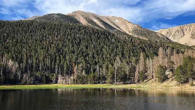
    WEEKEND BACKPACKING TRIP San Gorgonio Mountain is the tallest peak in Southern California (11,502 feet) We will be taking the South Fork Trail to Dry Lake. We will be camping near Dry Lake. Depending on weather conditions, we might need mircro spikes or crampons. Possibly snow at higher elevation. So San Gorgonio Peak will be […]


Trail statistics are approximate. For safety purposes always assume they are underestimated. But don’t be disappointed if they are overestimated. Bring more water and snacks than you think you’ll need.

Trail descriptions are based on previous hikes. Current conditions are unknown until arrival. Expect the unexpected and plan accordingly.

The Organizers and members of Hiking With Dean are not professional leaders, guides, or mountaineers. The function of the member or organizer is only to organize the trip. Each person who shows up for a trip/meetup (and their guest or guests) is responsible for his or her own safety. By attending a hike, or any other event organized by this group, you are acknowledging that you and any guests that you bring are aware of the risks, dangers and hazards associated with the activity and freely accept and fully assume all such risks, dangers and hazards, and further agree to release and discharge the Organizers, Members of the Hiking With Dean Meetup Group from and against any and all liability arising from your participation in the group activities per our ASSUMPTION OF RISK AND LIABILITY WAIVER and Section 6.2 of the Meetup.com Terms of Service.