Site Search

Hiking Calendar

Wildwood Central Park ~ Gentler Intermediate

Wildwood Regional Park 928 W Avenida De Los Arboles, Thousand Oaks, CA, US

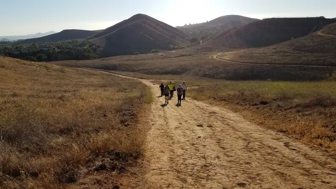
Wildwood Park in Thousand Oaks is one of the most versatile local parks there is, with 27 miles of trails skittering through rocky cliffs, cacti-filled desert environs, volcanic rock, riparian […]

8.5 miles ~ Los Robles Trail to Angel Vista ~ Intermediate Hike

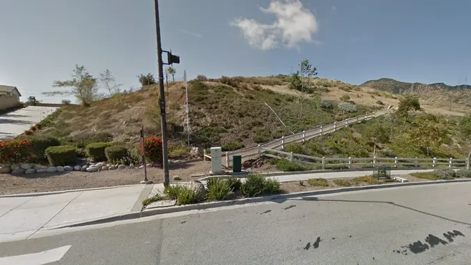
Los Robles Open Space Trailhead S Moorpark Rd, Thousand Oaks, CA, US

http://photos1.meetupstatic.com/photos/event/b/f/8/6/event_22189030.jpeg Space Mountain is the name for Los Robles Trail West, starting at Moorpark Road in Thousand Oaks and switchbacking up the hill to the west. No one seems to […]

Santa Rosa Trail Loop through Box Canyon (Fast Paced)

Wildwood Park, Thousand Oaks 998 W Avenida de Los Arboles, Thousand Oaks, CA, US

Hoping we can squeak this in before the rain. Please check around 4 p.m. to see if the hike is still on as rain will cancel the hike. Please read […]

Long Canyon – Lower Loop

572 Bannister Way 572 Bannister Way, Simi Valley, CA, US

3 miles, 800' gain, Easy Intermediate. Easy option, 1.4 miles, 450' gain, Fit Beginner The address given is not the address of the hike. It is nearby and may cause […]

COSF: Talkin’ Trash: How to Do Your Garbage Right

Indian canyon Trailhead 9001 soledad Canyon road, Agua Dulce, CA, US

This year's COSF Speaker Series theme is "Sustainability" Please join Conejo Open Space Foundation's live online presentation by a panel of three local experts who will discuss how residents can […]

Powerline Trail to Conejo Peak – Gentler Friendly

118 Via Ricardo 118 Via Ricardo, Thousand Oaks, CA, US

Thursday's forecast is for 50% chance of rain. If it's raining at 7:30 a.m., the hike will be cancelled - please check before departing for the trailhead. For our Thursday […]

EBIKE RIDE to OAT MOUNTAIN via a paved road

Wildwood Park, Thousand Oaks 998 W Avenida de Los Arboles, Thousand Oaks, CA, US

This Ebike ride will be on paved roads in the Porter Ranch area. We'll be taking the Brown Canyon Road all the way to the top (Oat Mountain) which has […]

NEW Lollipop: PCT- Spruce Draw – to Lake Hughes Truck Trail – PCT

41289 San Francisquito Canyon Rd 41289 San Francisquito Canyon Rd, Santa Clarita, CA, US

NEW Lollipop: PCT to Spruce Draw then hiking the Leona Divide Fire Rd west to the intersection of Lake Hughes Truck Trail; We will take a snack break at the […]

Late Morning Hike at Whiting Ranch – Wahoo’s Parking Lot

Wahoo's Fish Taco 27412 Portola Parkway, Foothill Ranch, CA, US

This hike will be about 5.4 miles total with 820 ft. of elevation gain. We are starting at the parking lot at the Wahoo's parking lot. We will take Live […]

[asa2_collection tpl=”Flex_1″ orderby=”rand” limit=”4″]2[/asa2_collection]

Trail statistics are approximate. For safety purposes always assume they are underestimated. But don’t be disappointed if they are overestimated. Bring more water and snacks than you think you’ll need.

Trail descriptions are based on previous hikes. Current conditions are unknown until arrival. Expect the unexpected and plan accordingly.

The Organizers and members of Hiking With Dean are not professional leaders, guides, or mountaineers. The function of the member or organizer is only to organize the trip. Each person who shows up for a trip/meetup (and their guest or guests) is responsible for his or her own safety. By attending a hike, or any other event organized by this group, you are acknowledging that you and any guests that you bring are aware of the risks, dangers and hazards associated with the activity and freely accept and fully assume all such risks, dangers and hazards, and further agree to release and discharge the Organizers, Members of the Hiking With Dean Meetup Group from and against any and all liability arising from your participation in the group activities per our ASSUMPTION OF RISK AND LIABILITY WAIVER and Section 6.2 of the Meetup.com Terms of Service.