Site Search

Hiking Calendar

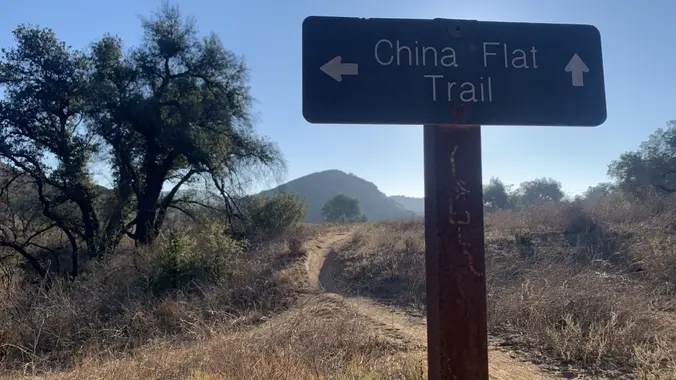
China Flats – Intermediate

China Flat Trailhead 34.193558, -118.775137, Oak Park, ca, US

3 miles, 1000' gain, Intermediate. The entire first half is an incline. Nothing super steep, but beginners may find this climb exhausting. Fit beginners can still complete this hike, as […]

Tapo Canyon Trail

Tapo Canyon Road Tapo Canyon Rd, Simi Valley, CA, US

https://www.alltrails.com/trail/us/california/tapo-canyon-trail?u=i Hello fellow hikers, The heat is here but we still need to keep moving so the goal is to hit this trail (which has partial shade ) and be […]

Hike at Caspers Wilderness Park – Bell Canyon + Oso Trail

Caspers Wilderness Park 33401 Ortega Hwy, San Juan Capistrano, CA, US

The hike I am planning is around 6.3 miles with about 700 ft. of elevation gain. It starts at the very end of the paved road, the long gray strip […]

Palo Comado China Flats Loop

713 Quail View Ct 713 Quail View Ct, Oak Park, CA, US

https://www.alltrails.com/trail/us/california/palo-comado-china-flats-loop Hello Fellow Hikers, Okay I think it is finally gonna cool down. So let's get in a hike. This is a pretty popular area with both hikers runners and […]

Los Pinetos Trail 7 mile or 9 Mile (to Peak / Antennas)

Walker Ranch Trailhead 19798 Placerita Canyon Rd, Newhall, CA, US

Sunday October 02, 2022 : Los Pinetos Trial to Wilson Saddle, or on to Los Pinetos Peak (the Antennas), Both are Out and Back ** IF RAIN IS FALLING AT […]

FREE: Navigation Series (1 of 3)

Turtle Rock Community Park 1 Sunnyhill, Irvine, CA, US

Do you know how to use a compass? Oct. 2 Want to learn how to read a topo map? Nov. 6 How do you use a topo map and compass […]

Hike at Laguna Coast Wilderness Park – Willow Staging Area

Willow Staging Area 20101 Laguna Canyon Road, Laguna Beach, CA, US

The hike we will be doing is a loop at about 5.5 miles with 725 ft. of elevation gain. We will meet at the Willow Staging Area that is right […]

White Sage Trail

2487 Crown View Ct 2487 Crown View Ct, Thousand Oaks, CA, US

https://www.alltrails.com/trail/us/california/white-sage-trail Hello Fellow Hikers, Okay we did a part of this trail in a past Meetup and said we would never do it as a "out and back" (remember that […]

[asa2_collection tpl=”Flex_1″ orderby=”rand” limit=”4″]2[/asa2_collection]

Trail statistics are approximate. For safety purposes always assume they are underestimated. But don’t be disappointed if they are overestimated. Bring more water and snacks than you think you’ll need.

Trail descriptions are based on previous hikes. Current conditions are unknown until arrival. Expect the unexpected and plan accordingly.

The Organizers and members of Hiking With Dean are not professional leaders, guides, or mountaineers. The function of the member or organizer is only to organize the trip. Each person who shows up for a trip/meetup (and their guest or guests) is responsible for his or her own safety. By attending a hike, or any other event organized by this group, you are acknowledging that you and any guests that you bring are aware of the risks, dangers and hazards associated with the activity and freely accept and fully assume all such risks, dangers and hazards, and further agree to release and discharge the Organizers, Members of the Hiking With Dean Meetup Group from and against any and all liability arising from your participation in the group activities per our ASSUMPTION OF RISK AND LIABILITY WAIVER and Section 6.2 of the Meetup.com Terms of Service.