Site Search

Hiking Calendar

MOUNTAIN EBIKE RIDE – MENDENHALL, MCKINLEY and IRON PEAKS

Tapia Park 884 N. Las Virgenes Road, Calabasas, CA, US

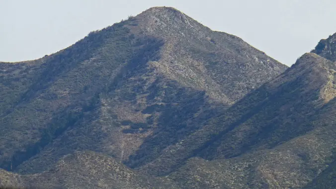
The Calabasas Day Hikers will be hiking up an easy dirt forest service road that skirts the Pinnacles, Mendenhall, McKinley and Iron Peaks. Their objective is Mendenhall Peak, while our ebikers take on the entire road to Iron Peak. Make sure you bring along a spare inner tube. MEETUP LOCATION AND TIME: 9:00am on Little […]

Boney Mountain Hike (Fast Paced)

Rancho Sierra Vista/Satwiwa Wendy Trailhead Potrero Rd & S Wendy Dr, Newbury Park, CA, US

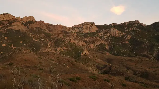
Please read these restrictions before signing up. Don't sign up unless you are two weeks past your 2nd vaccination Don't show up unless you're shown on the "Attending" list Unregistered or waitlisted will be turned away No "Plus Ones" on this hike You will be asked to show your vaccination card (a photo on your […]

Point Dume to Paradise Cove – and back! Gentler

Point Dume State Beach 6800 Westward Beach Rd, Malibu, CA, US

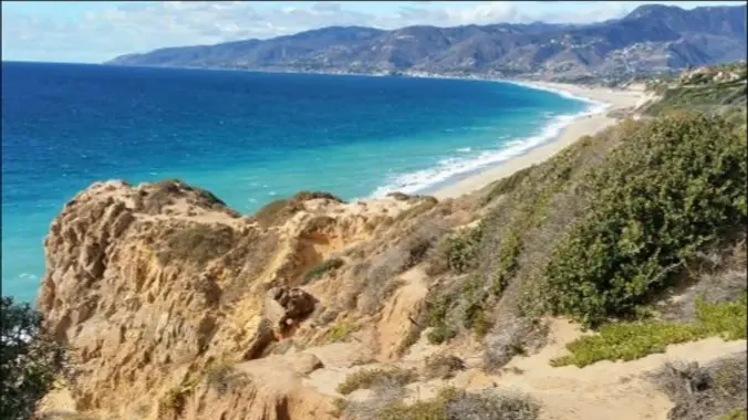
This is a cooler, gentler hike along the surf during a hot, hot week! The Point Dume staircase has been restored and improved, so we'll park at Westward, climb up and over the bluff to the top of the stairs, make our way gingerly around the cliff, then down the stairs to the beach. On […]

Hill Canyon – Hawk Lollipop – Easy Intermediate, beginner option

Hill Canyon Trailhead 10241 Hill Canyon Road, Camarillo, CA, US

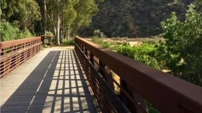
5.3 miles, 600' gain, Easy-Intermediate 2.5 miles, 100' gain, Beginner We start by crossing a bridge into a wooded area and continue down a relatively flat path alongside a stream. After about a mile, we'll come to a junction. For those that want the full hike, we'll turn right and complete a 3 mile loop […]

Hike at Aliso and Wood Canyons Park – Up Cholla, Down Mathis

Canyon View Staging Area 22124 Utility Access, Aliso Viejo, CA, US

We are going to be starting at the Canyon View Staging Area. This hike will be about 6.2 miles with around 1,000 ft. of elevation gain. We will be starting at Canyon View Park and taking Cholla up to West Ridge and comic down Mathis. Link to Parking from Google Maps: https://www.google.com/maps/place/Canyon+View+Staging+Area/@33.585273,-117.7465062,17z/data=!3m1!4b1!4m5!3m4!1s0x80dce61b6bd45c2d:0x5ef3f1ad687cc8b5!8m2!3d33.585273!4d-117.7443175 Dogs are not […]

Backbone Trail to Sandstone Peak and Mishe Mokwa Trail

Parking lot Yerba Buena Rd, Westlake Village, CA, US

https://www.alltrails.com/trail/us/california/backbone-trail-to-sandstone-peak-and-mishe-mokwa-trail-loop?u=i&sh=aoxfvb Hey Everyone, I am taking over for a couple weeks. It should be cooling down by the time this hike is scheduled. I might move up the start time if the heatwave decides to stick around a little longer since these trails have little to no shade. We will be going clockwise to get […]

Sullivan – Mandeville Loop

Sullivan Canyon Trailhead Queensferry Rd, Los Angeles, CA, US

The shady hike down Sullivan Canyon parallels a seasonal creek. Alive with the singing of birds, this hike sounds and feels like an aviary housed within huge stands of sycamore, oak, and willow trees. We’ll be hiking on both the Sullivan side and the Mandeville Canyon side of the ridge dividing the two canyons creating […]

Trailer Canyon to Green Peak – a Loop Hike

Trailer Canyon Fire Road 1803 Michael Lane, Pacific Palisades, CA

THIS HIKE REPLACES THE SULLIVAN CANYON HIKE Our route begins on Trailer Canyon fire road providing broad views over Santa Ynez Canyon and the surrounding mountains. But like nature and vacuums, we abhor fire roads. Thus, shortly after the hike begins we will leave the fireroad and take a small, slightly overgrown use trail that […]

Hike at Caspers Wilderness Park – Bell Canyon + Oso Trail

Caspers Wilderness Park 33401 Ortega Hwy, San Juan Capistrano, CA, US

Let's start early and beat the heat! The hike I am planning is around 6.3 miles with about 700 ft. of elevation gain. It starts at the very end of the paved road, the long gray strip that can be seen on the map. We will begin at the Bell Canyon Trail head. We will […]


Trail statistics are approximate. For safety purposes always assume they are underestimated. But don’t be disappointed if they are overestimated. Bring more water and snacks than you think you’ll need.

Trail descriptions are based on previous hikes. Current conditions are unknown until arrival. Expect the unexpected and plan accordingly.

The Organizers and members of Hiking With Dean are not professional leaders, guides, or mountaineers. The function of the member or organizer is only to organize the trip. Each person who shows up for a trip/meetup (and their guest or guests) is responsible for his or her own safety. By attending a hike, or any other event organized by this group, you are acknowledging that you and any guests that you bring are aware of the risks, dangers and hazards associated with the activity and freely accept and fully assume all such risks, dangers and hazards, and further agree to release and discharge the Organizers, Members of the Hiking With Dean Meetup Group from and against any and all liability arising from your participation in the group activities per our ASSUMPTION OF RISK AND LIABILITY WAIVER and Section 6.2 of the Meetup.com Terms of Service.